This entry into our blog showcases a region which, to the Victorians, was a land of exoticism and mystery...

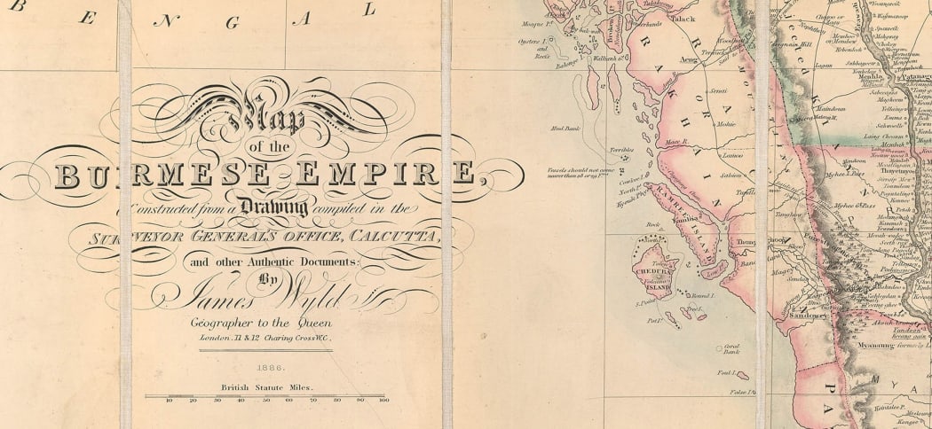
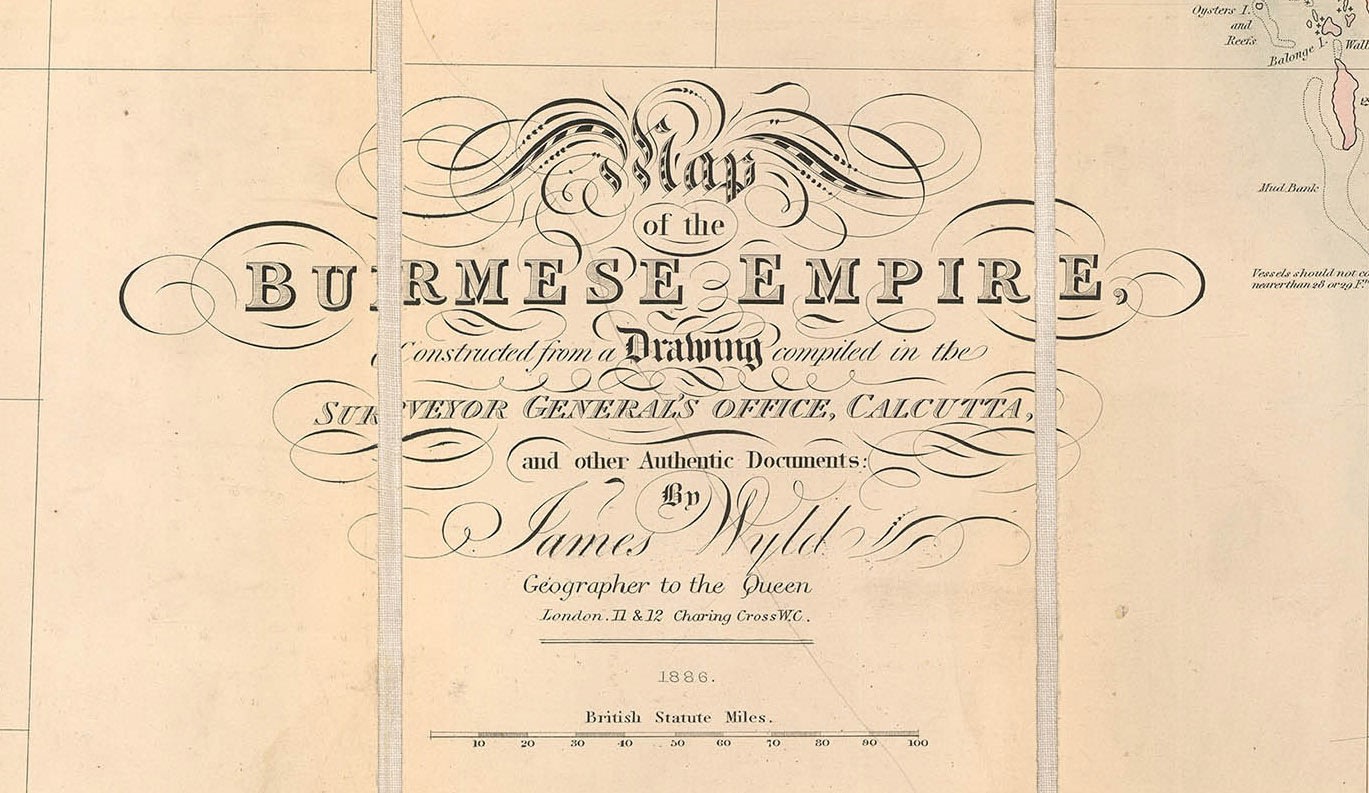
Map of the Burmese Empire, published by James Wyld in 1886 at his London premises in Charing Cross.
James Wyld the Younger, to differentiate him from his father (the Elder) and in turn his son (Younger II), was the driving force behind this highly influential firm of mapmakers for nearly fifty years. He was a canny businessman, entrepreneur, Member of Parliament, Justice of the Peace and also given the accolade of being Geographer to the Queen. One of the most successful ventures of his business consisted of publishing folding maps on linen which illustrated famous or infamous events of the day, especially if they affected British interests. Thus, there are important archives of Wyld folding maps of numerous battles and regions featured in the Crimean War; he produced a series of fascinating city plans illustrating the events of the Great Indian Mutiny or the First War of Indian Independence; several of his maps show the Theatre of the Sikh Wars. The list continues...
The featured map is archetypal of this strategy. It is a stunning example of Victorian lithography, hugely detailed with a touch of colour to enhance its appeal. It was published to satisfy public curiosity about this far-flung land after the conclusion of the Third Anglo-Burmese War. This conflict took place in November of 1885, thwarted French territorial ambitions in the region and ensured that Burma became part of the British Raj.
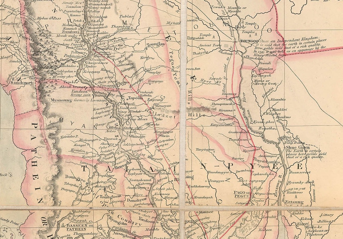
Wyld states on the cartouche of the map that it was “Constructed from a Drawing in the Surveyor General’s Office, Calcutta and other Authentic Sources.” These sources would have been a combination of previous maps compiled during the activities of the East India Company and army map makers during the first two Anglo Burmese Wars as well as surveys made during the conflict of the previous year. As a result, the map is astonishingly detailed, not only showing the usual geographical features such as the position of major cities, namely Rangoon, Pegue and Mandalay, but also more esoteric and charming detail. For example, a small table on the upper centre of the map informs us that the Burmese call themselves “Mranmas” and then details their nomenclature for the surrounding regions; there are brief historical or geographical notes such as “The Bong Dominions were invaded by a Burmese army in 1768 and rendered tributary to Ava”; Ava was one of the most powerful kingdoms in the Irrawady Valley. Another example is the city of Boduayn which bears the following caption: “Mines of gold and silver. Boduayn was conquered from the Chinese by the Burmese in the reign of Zanbrushen who governed Ava from 1769 to 1781.The inhabitants are Shan, the place being originally Lowa Shan or Northern Laos.”


As well as a multitude of place names and historical captions, the map shows the national borders of the region in the late 19th century between Burma, British India, China, Laos and Siam. These in turn scale down to regional divisions which reflect the losses the Burmese had suffered during the first two Anglo Burmese Wars and which were also one of the causes for the most recent conflict. There is extraordinary detail on the banks of the Irrawady, reflecting its heavy commercial use by steamers; thin black lines depict a highly developed trade route network, which is often captioned. Finally, two red lines portray the earliest railways built in Burma. The first was a commercially very important line between Rangoon and Prome, used to transport rice from the latter to the former; the other is from Rangoon to Toungoo in the northern part of the country. This line was of particular strategic importance for the logistics of the Third Anglo Burmese War.

Folding maps were beautifully designed for both storage and portability; ultimately, they were meant to be mobile, used for easy reference, folded again and stored. This was one of their great attractions. All of the above factors make this map one of the most detailed and interesting cartographic documents of Burma of the late 19th century.
For more information about this map, contact us at maps@themaphouse.com.