-
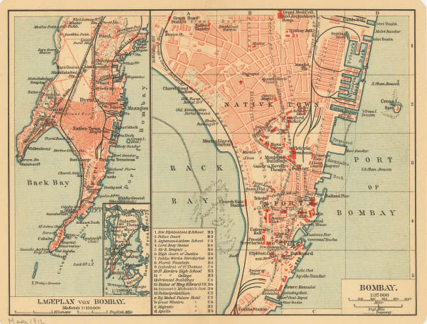
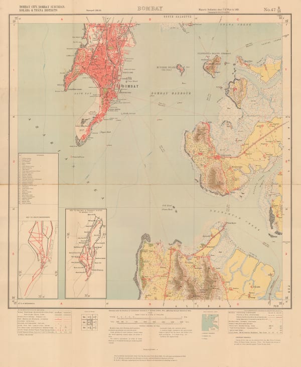
 Joseph Meyer, Town plan and environs of Mumbai (Bombay), 1912£ 68.00
 -
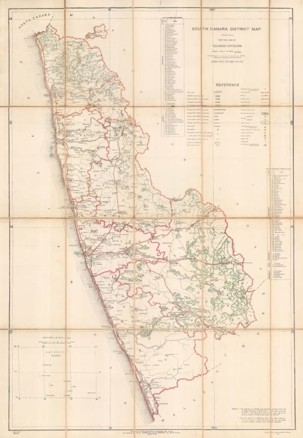
D.G. Hatchell, South Canara District Map for the use of Touring Officers, 1912£ 495.00
-
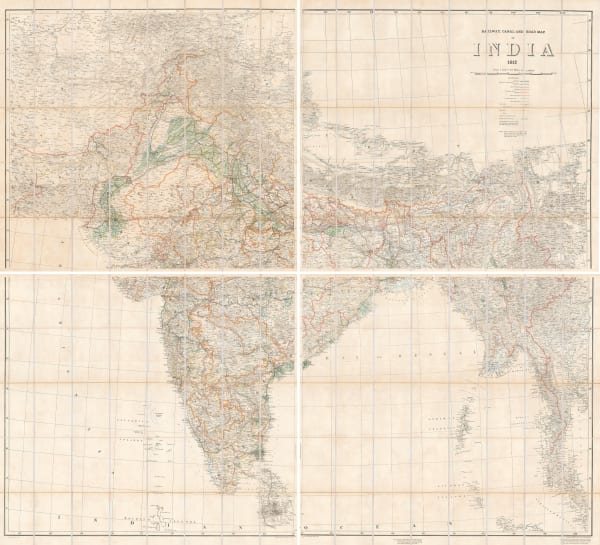
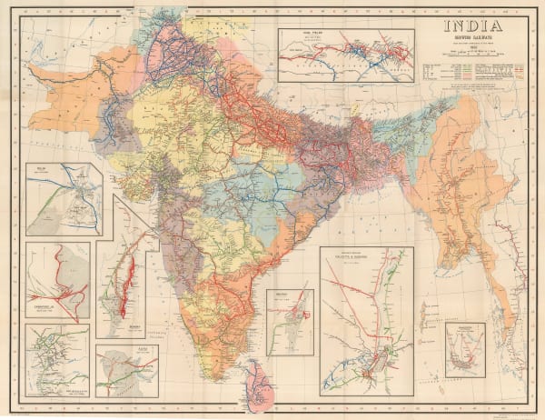
Survey of India, Railway, Canal, and Road Map of India, 1912£ 3,600.00
-
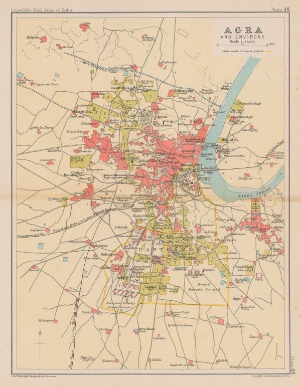
John Murray, Agra and Environs, 1913 c.£ 55.00
-
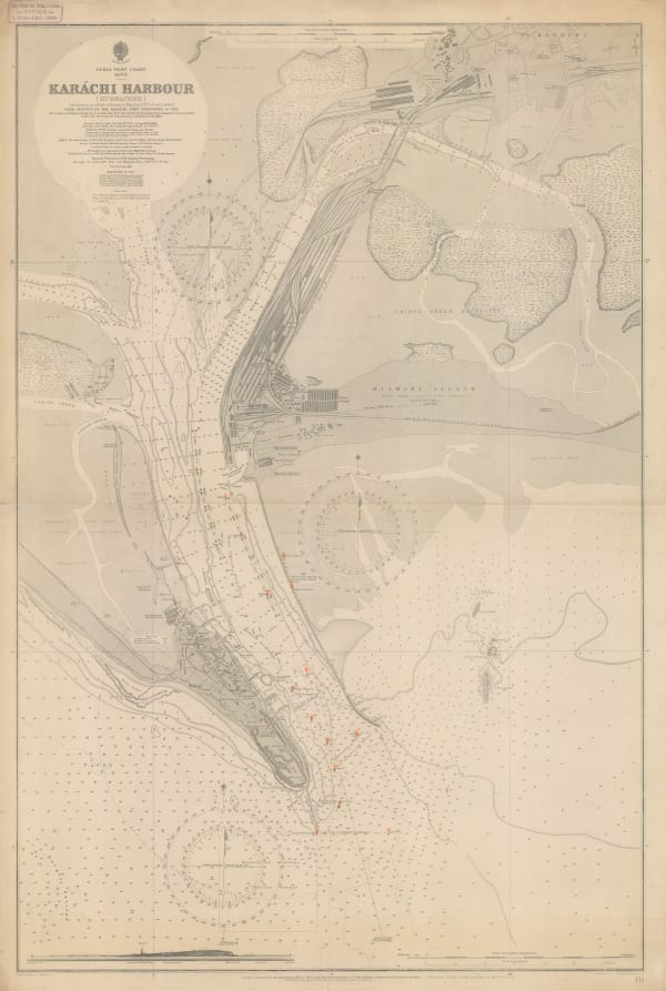
British Admiralty, Karachi Harbour, 1914£ 2,500.00
-
Royal Geographical Society (RGS), Part of the North-Eastern Frontier and Tibet showing the routes of Captains Morshead and Bailey 1913, 1914£ 285.00
-
D.G. Hatchell, Malabar District Map for the use of Touring Officers, 1916£ 495.00
-
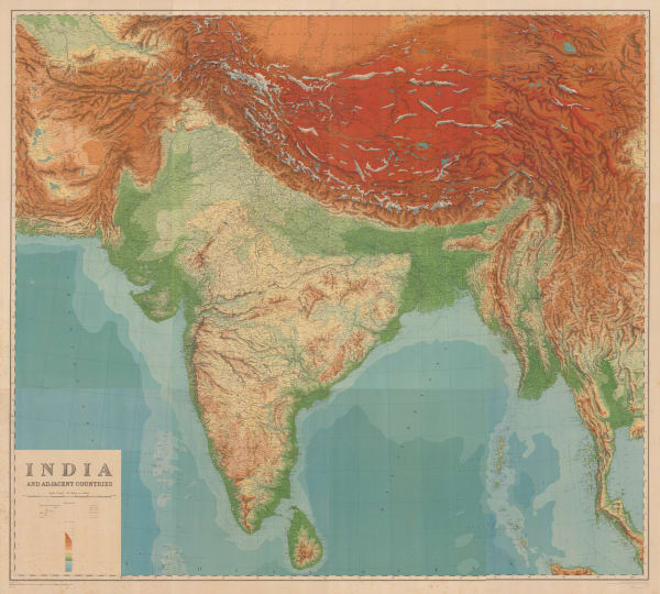
Survey of India, India and Adjacent Countries - Baroda, 1917£ 795.00
-
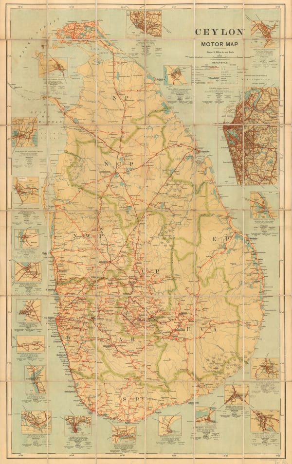
W.C.S. Ingles, Motoring map of Sri Lanka (Ceylon), 1920£ 750.00
-
D.G. Hatchell, Coimbatore District map for the use of Touring Officers, 1920£ 495.00
-
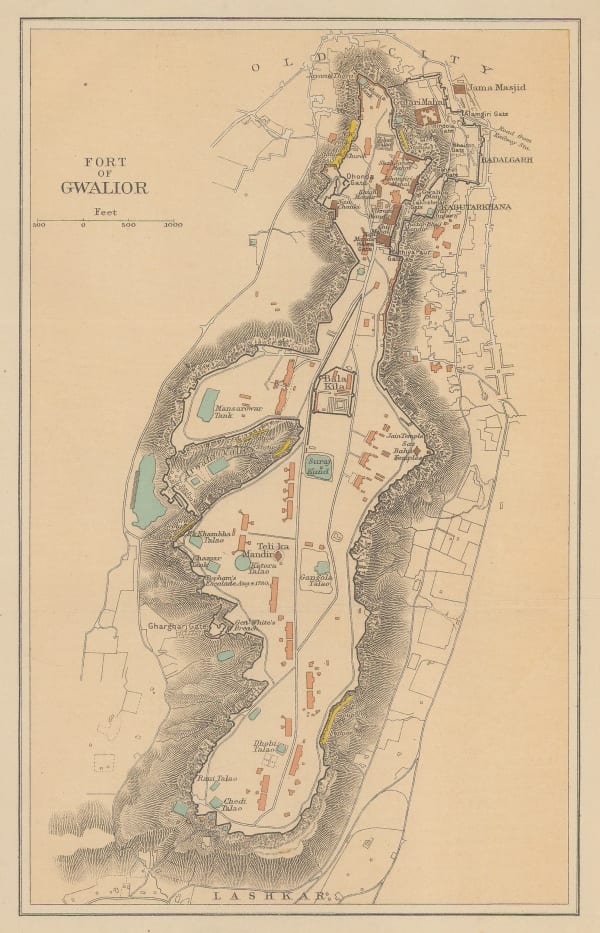
John Murray, Fort of Gwalior, 1920£ 38.00
-
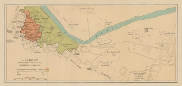
John Murray, Lucknow Intrenched Position of the British Garrison, 1920£ 48.00
-
John Murray, Map of Sikhim, 1920£ 48.00
-
Survey of India, The Himalaya Mountains and Surrounding Regions, 1920£ 4,450.00
-
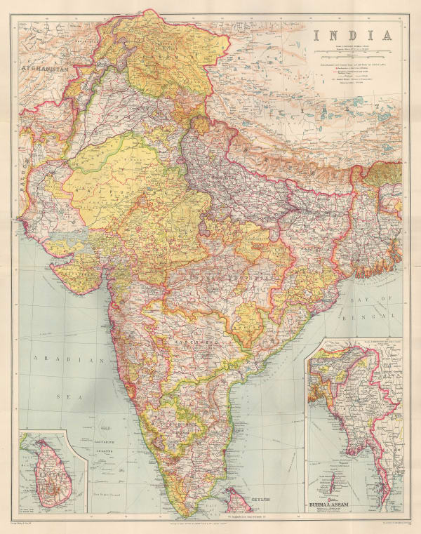
George Philip & Son Ltd., India, 1920 (c.)£ 275.00
-
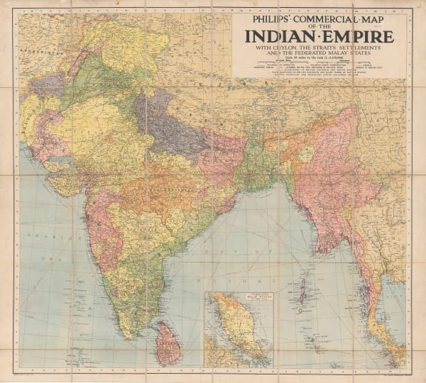
George Philip & Son Ltd., Commercial Map of the Indian Empire, 1920 (c.)£ 2,500.00
-
The Financial Times, Map Showing the Position of the Rubber Estates in South India and Ceylon, 1920 c.£ 495.00
-
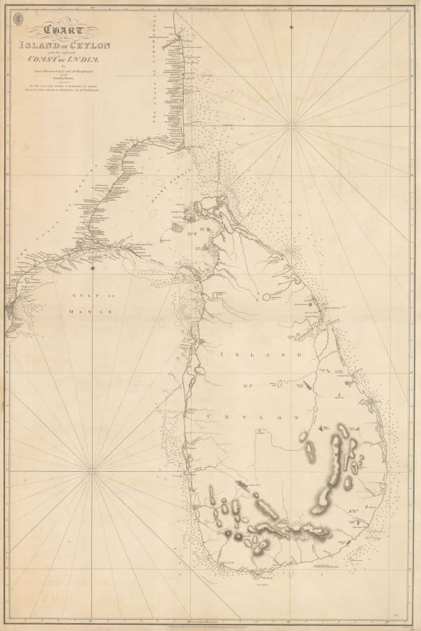
British Admiralty, Chart of the Island of Ceylon with the Adjacent Coast of India, 1922£ 3,450.00
-
Royal Geographical Society (RGS), Preliminary Map to Illustrate the Route of the Mount Everest Expedition, 1922£ 675.00
-
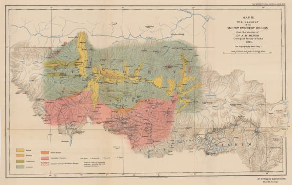
Royal Geographical Society (RGS), The Geology of the Mount Everest Region, 1922£ 675.00
-
Royal Geographical Society (RGS), The Route of the Mount Everest Expedition 1922, Chumbi to Mt. Everest from the maps of the 1921 Expedition, 1922£ 675.00
-
-
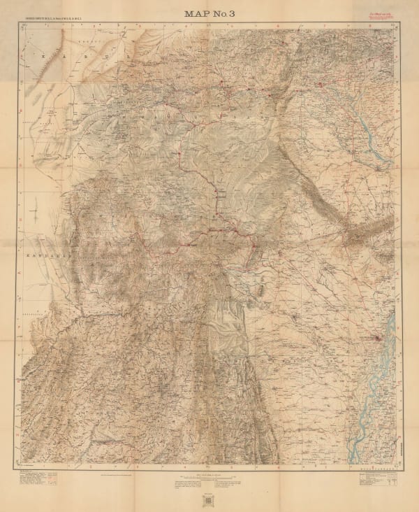
Geographical Section, General Staff (GSGS), Bannu and Dera Ismail Khan Divisions, 1923£ 545.00
-
Ceylon Survey Department, Sri Lanka (Ceylon), 1925£ 525.00
-
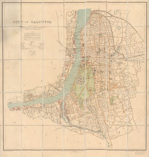
Survey of India, Kolkata (Calcutta), 1925£ 825.00
-
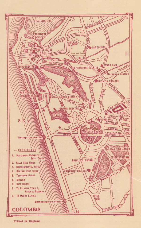
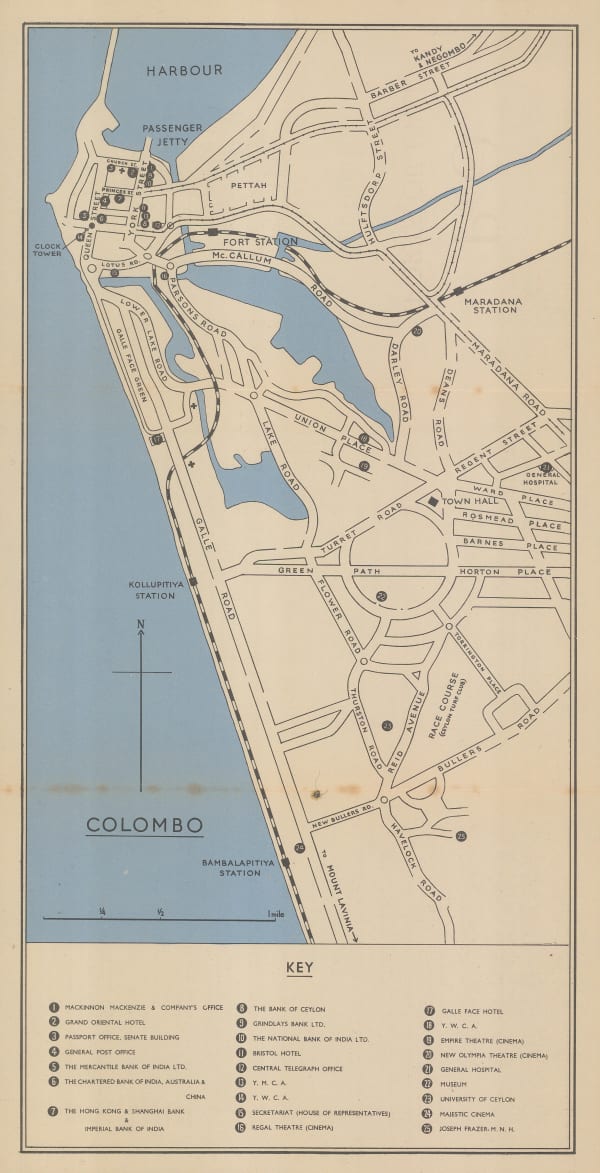
Edward Stanford, Colombo, 1925 c.£ 68.00
-
Madras Survey, Map of the Madras Presidency Showing the Roads & Distances, 1926£ 950.00
-
J.H. Trott, Old Delhi, 1926£ 225.00
-
Ceylon Survey Department, Plan of Anuradhapura and Environs shewing Ancient Ruins, 1926£ 645.00
-
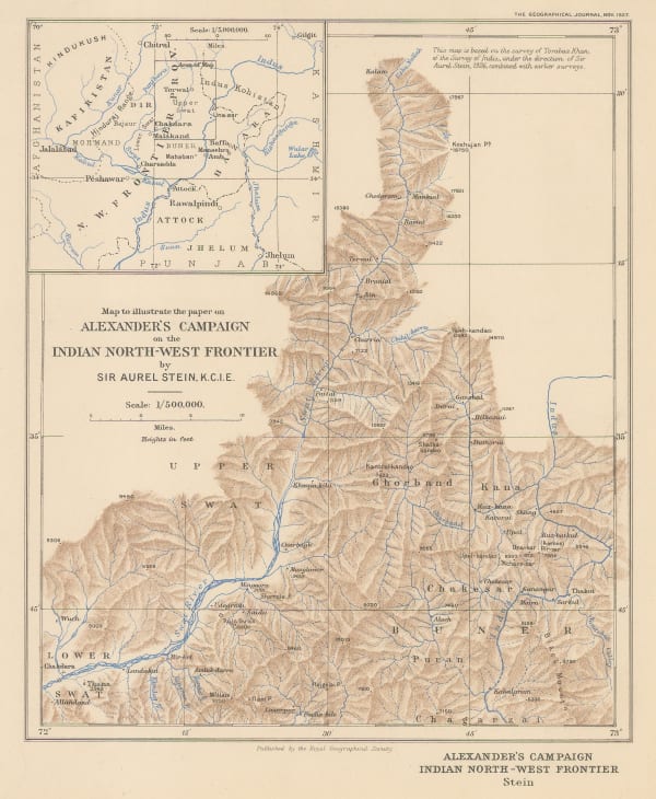
Royal Geographical Society (RGS), Alexander's Campaign on Indian North-West Frontier, 1927£ 145.00
-
Survey of India, Tourist map of Delhi, 1927£ 1,450.00
-
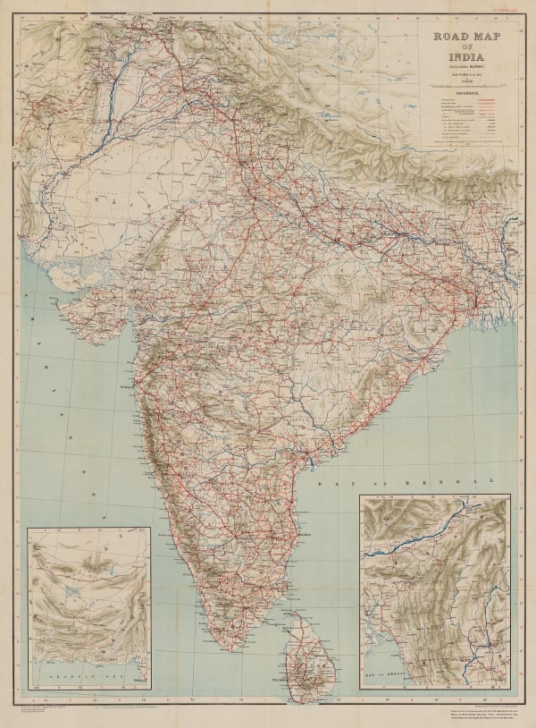
Survey of India, Road Map of India (excluding Burma), 1930£ 495.00
-
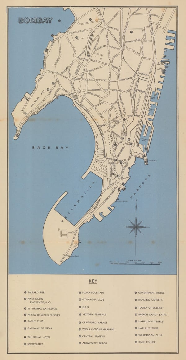
Edward Stanford, Vintage guide map of Mumbai (Bombay), 1930 (c.)£ 95.00
-
Edward Stanford, P&O Ports of Call - Colombo, 1930 (c.)£ 85.00
-
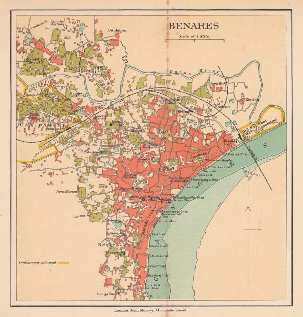
John Murray, Varanasi (Benares), 1930 c.£ 48.00
-
Survey of India, Lahore and environs, 1931£ 585.00
-
Survey of India, Mumbai (Bombay), 1932£ 950.00
-
Survey of India, India Showing Railways, 1932£ 475.00
-
John Murray, Prayagraj (Allahabad), 1933£ 38.00
-
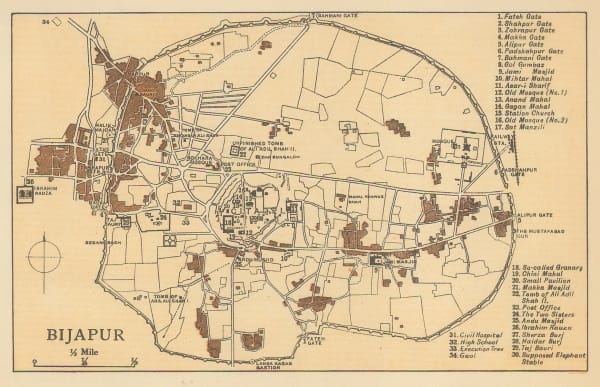
John Murray, Vijayapura (Bijarpur), 1933£ 28.00
-
John Murray, Kanpur (Cawnpore), 1933£ 45.00
-
John Murray, Darjeeling, 1933£ 24.00
-
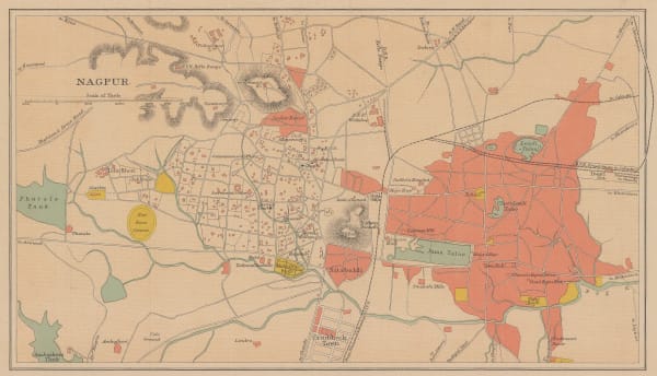
John Murray, Nagpur, 1933£ 48.00
-
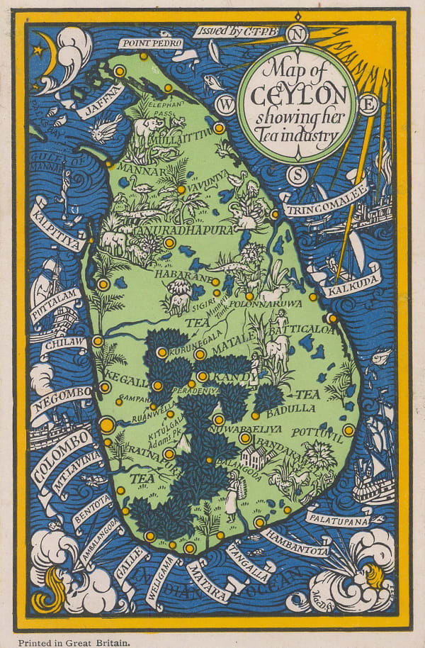
Macdonald Gill, Map of Ceylon showing her Tea Industry, 1933 c.£ 175.00
-
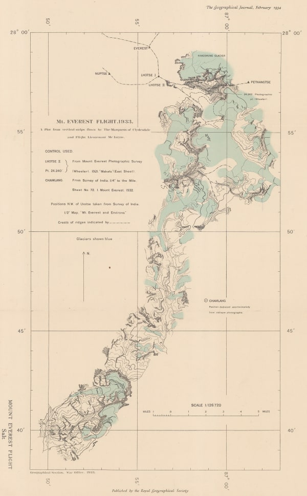
Royal Geographical Society (RGS), The First Overflight of Mt. Everest, 1934£ 185.00
-
Ordnance Survey, Mount Everest and the Group of Chomo Lungma, 1934£ 1,500.00
-
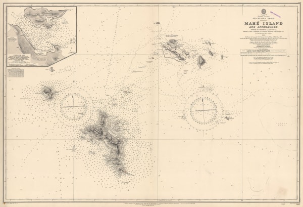
British Admiralty, Chart of Mahe and Praslin, Seychelles, 1935£ 525.00
-
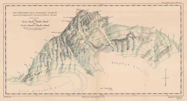
Royal Geographical Society (RGS), The Northern Face of Mount Everest, 1936£ 675.00
-
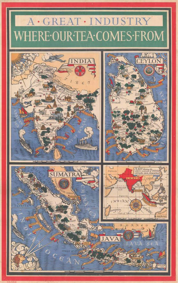
MacDonald Gill, A Great Industry - Where Our Tea Comes From, 1937£ 4,950.00
-
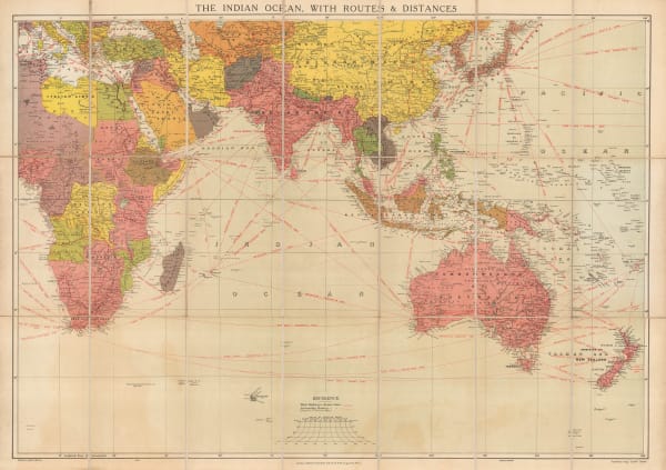
Edward Stanford, The Indian Ocean with Routes and Distances, 1937 c.£ 375.00
-
Survey of India, Sikkim, 1941£ 425.00
-
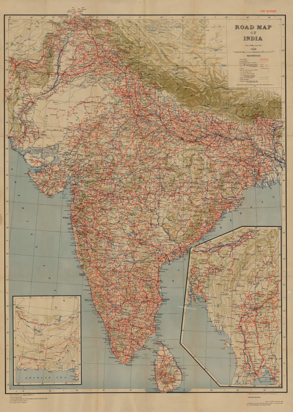
Survey of India, Road Map of India, 1942£ 375.00
-
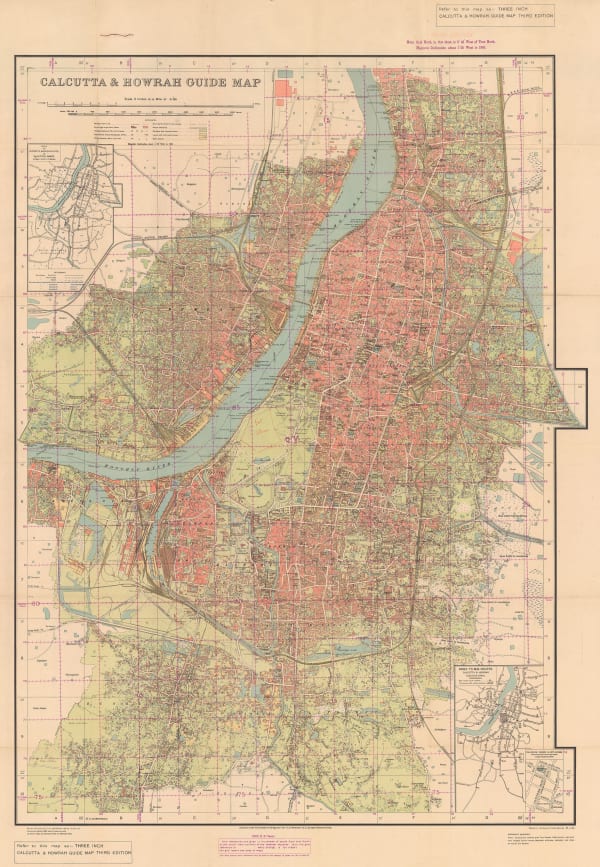
Survey of India, Kolkata (Calcutta) and Howrah, 1943£ 785.00
-
T.S. Duraiswami Ayyar, Map of the Madras Presidency, 1943£ 495.00
-
Alfred Cooke Ltd., India - In War and Peace, 1944 c.£ 2,950.00
-
Geographical Section, General Staff (GSGS), Road map of Sri Lanka (Ceylon), 1945£ 325.00
-
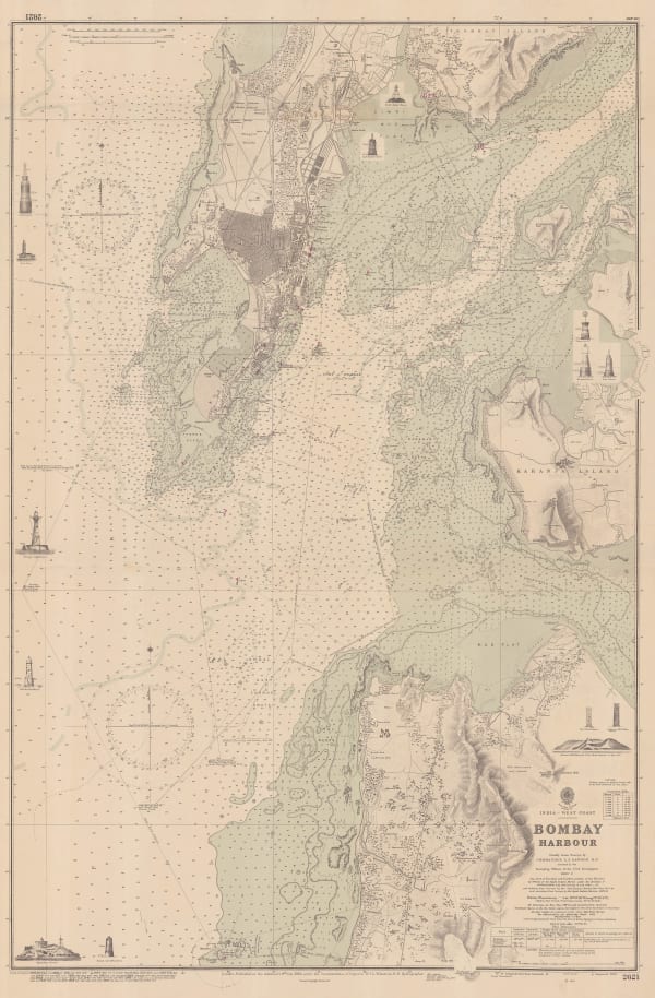
British Admiralty, Mumbai (Bombay) Harbour, 1950£ 2,450.00
-
Macdonald Gill, Gill's iconic pictorial rendition of Sri Lanka (Ceylon), 1950 c.£ 2,950.00
-
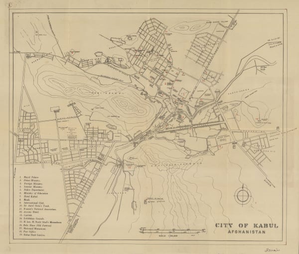
Afghan Tourist Org., City of Kabul, 1950 c.£ 695.00
-
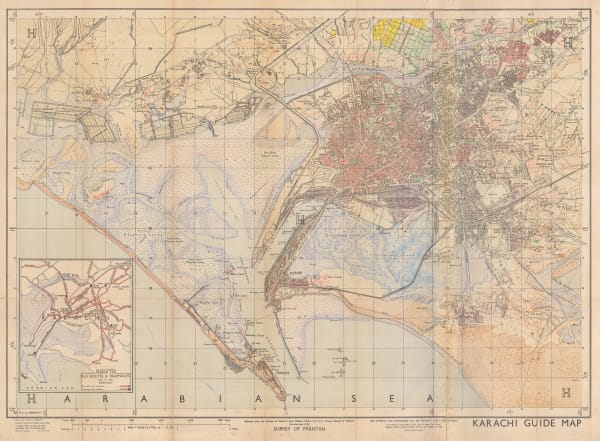
Survey of Pakistan, Karachi Guide Map, 1951£ 1,500.00
-
British Admiralty, Steamship Routes Indian Ocean, 1951£ 575.00
-
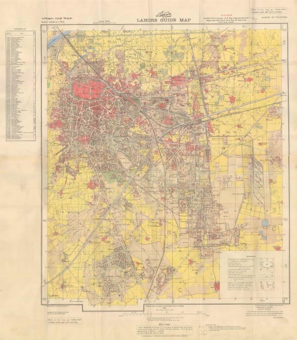
Survey of Pakistan, Lahore Guide Map, 1954£ 4,950.00
-
Mohsin Rafiq, Urdu Map of Hyderabad, India, 1954 c.£ 1,450.00
-
Erwin Schneider, Chomolongma - Mount Everest, 1957£ 4,450.00
-
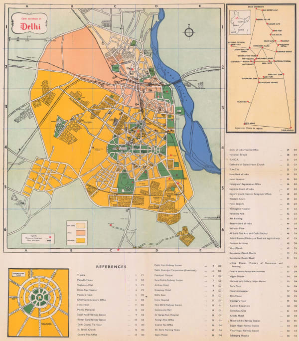
Indian Government, Vintage map of Delhi, 1960£ 250.00
-
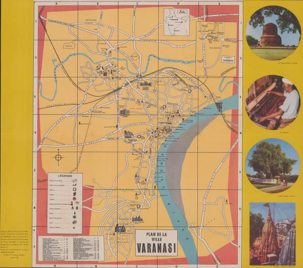
Indian Government, Vintage plan of Varanasi (Benares), 1960£ 350.00
-
Indian Government, The Himalayas, 1960£ 175.00
-
Dept. of Tourism, Delhi, 1960£ 125.00
-
Tej Bros, Mumbai (Bombay), 1960 (c.)£ 325.00
-
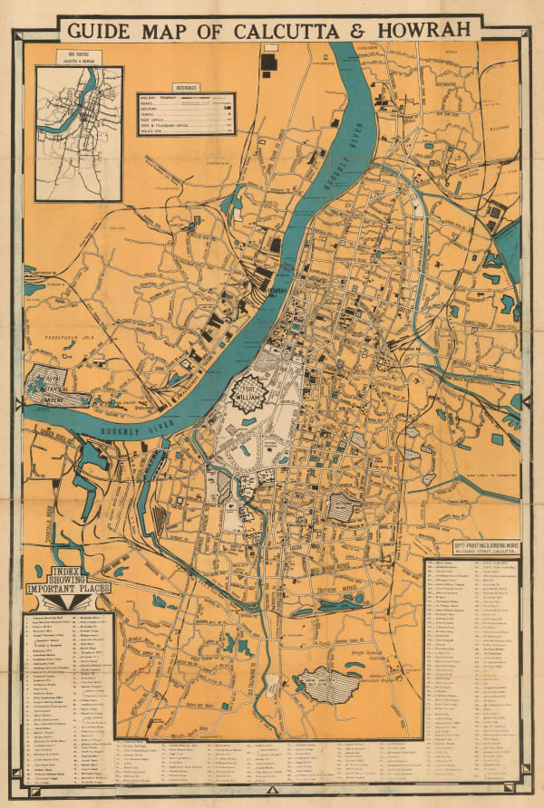
Dipti Printing, Vintage guide map of Kolkata (Calcutta) and Howrah, 1960 c.£ 395.00
-
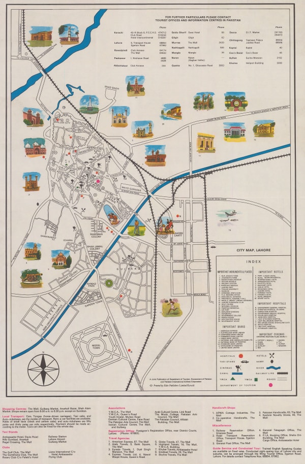
Pakistan Department of Tourism, Pakistan Lahore Tourist Map & Guide, 1960 c.£ 90.00
-
Tej Bros, Maharashtra State, 1960 c.£ 395.00
-
Peter Ray, Tea Production in Sri Lanka, 1962£ 550.00
-
Directorate of Advertising, Vintage guide to Kolkata (Calcutta) and Howrah, 1963 c.£ 295.00
-
Pradyumna Karan, The Kingdom of Bhutan, 1965£ 1,275.00
-
Nirdosh Publications, Delhi & New Delhi, 1965 (c.)£ 495.00
-
Anonymous, Vintage plan of Delhi, 1965 c.£ 375.00
-
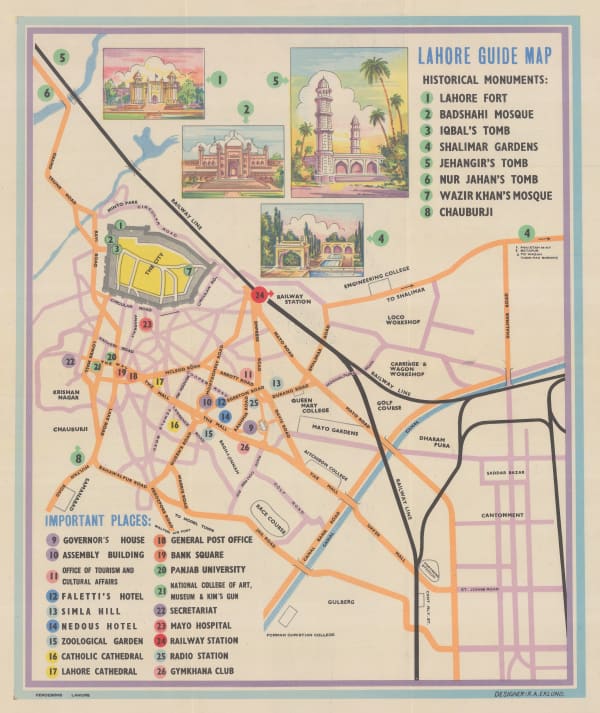
Ferozsons Ltd., Lahore Guide Map, 1965c£ 295.00
-
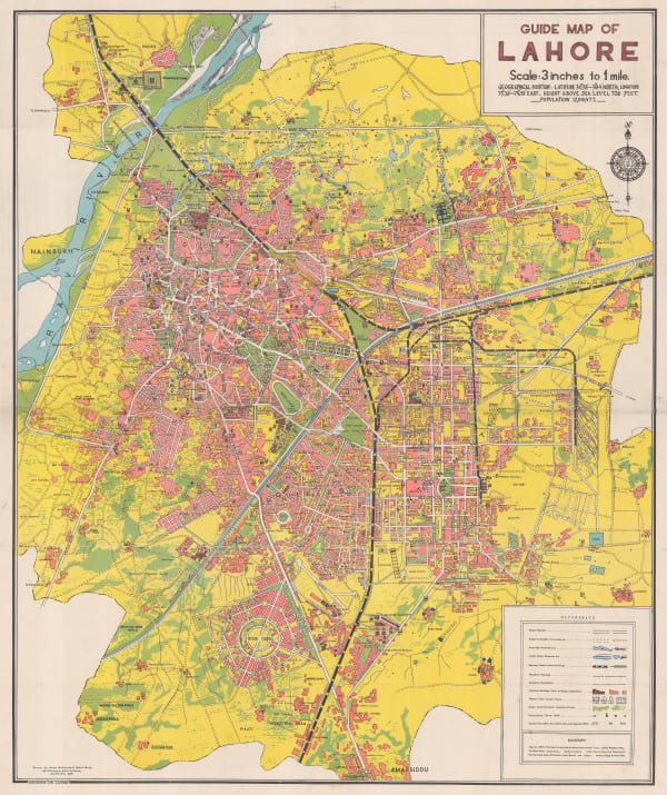
Ferozsons Ltd., Guide Map of Lahore, 1966£ 2,500.00
-
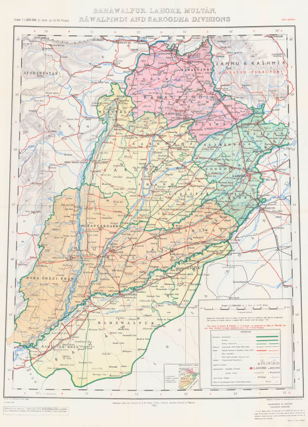
Survey of Pakistan, Bahawalpur, Lahore, Multan, Rawalpindi and Sarcodha, 1967£ 395.00


Page
5
of 6