-
 Charles Frederick Cheffins, Map of the English and Scottish Railways, 1843£ 475.00
 -
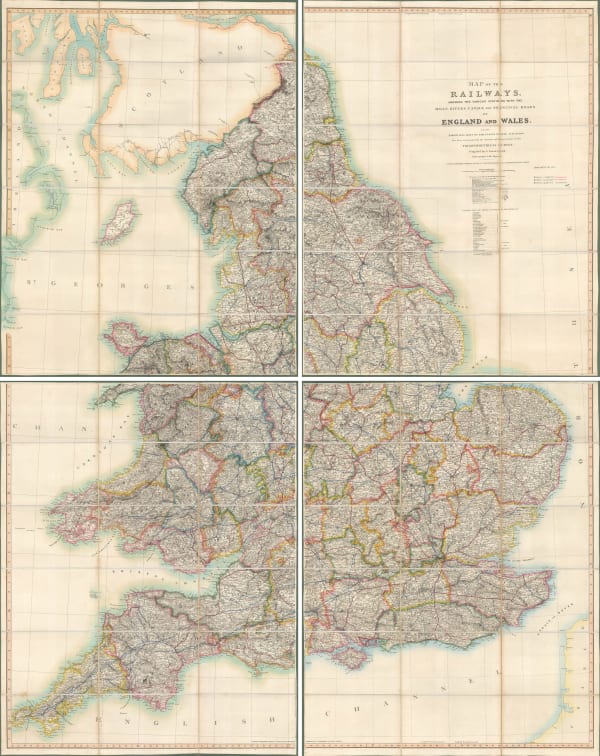
 Aaron Arrowsmith, Map of the Railways Showing the Various Stations with the Hills, Rivers, Canals and Principal Roads of England and Wales, 1845£ 2,450.00
 -
 James Wyld, Post Map of Europe, 1845£ 450.00
 -
 James Wyld, Railway Map of England Wales and Scotland, 1845£ 1,850.00
 -
 John Tallis, Tallis's Railway Map of Great Britain, 1851£ 475.00
 -
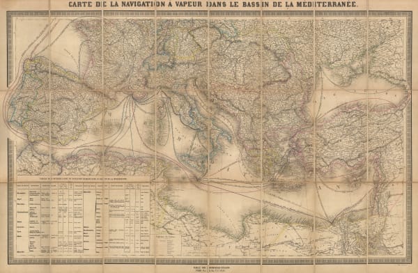
 Andriveau-Goujon, Mediterranean Steamship Routes, 1851£ 650.00
 -
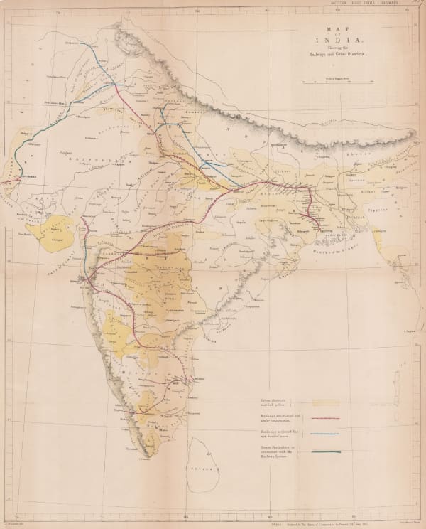
 Hansard, Railway and Cotton District Map of India, 1857£ 950.00
 -
 Aimé Thomé de Gamond, An Early Channel Tunnel Plan, 1858£ 950.00
 -
 Archibald Fullarton, Railway Map of the British Isles, 1860 c.£ 325.00
 -
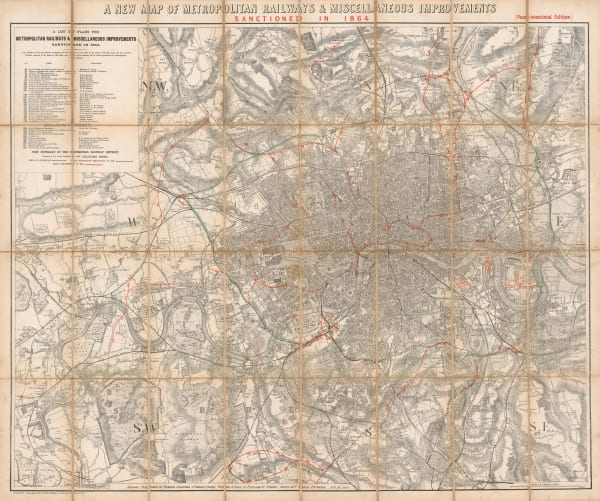
 Edward Stanford, A New Map of Metropolitan Railways Sanctioned in 1864, 1864£ 875.00
 -
 Edward Stanford, Railway Map of the British Isles, 1866£ 385.00
 -
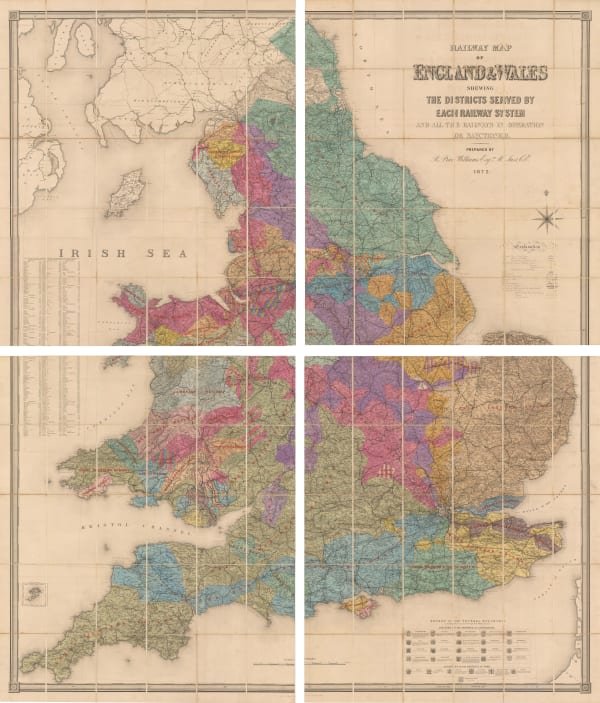
 Edward Stanford, Railway Map of the England and Wales Shewing the Districts Served by Each Railway System, 1872£ 3,950.00
 -
 James Wyld, Road, Railway & Telegraphic Map of India, 1872 c.£ 1,550.00
 -
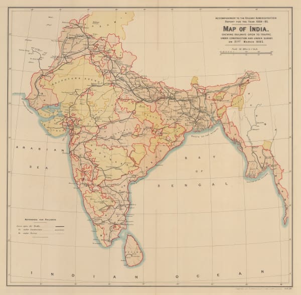
 Survey of India, Map of India shewing Railways open to traffic, under construction and under survey onm 31st March 1885, 1885£ 585.00
 -
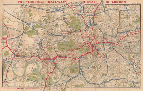
 W.J. Adams & Sons, The "District Railway" Map of London - Jubilee Edition, 1887£ 1,050 (framed)
 -
 W. & A.K. Johnston, Railway Map of England and Wales, 1895£ 795.00
 -
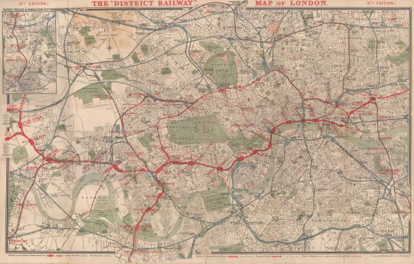
 The "District Railway" Map of London - 6th Edition, 1898Sampson Low, Marston & CompanySeries: LondonSampson Low, Marston & Company, The "District Railway" Map of London - 6th Edition, 1898£ 700.00
 -
 George Philip, Map of the Eastern Indian Railway, 1900 c.£ 385.00
 -
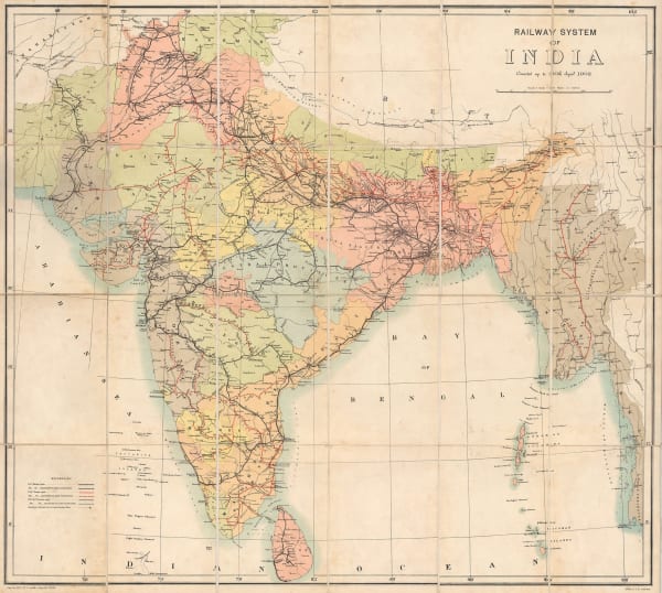
 Survey of India, Railway System of India, 1902£ 585.00
 -
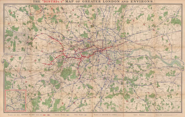
 Sampson Low, Marston & Company, The "District Map" of Greater London and Environs - 1st Edition, 1902£ 400.00
 -
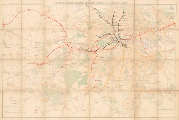
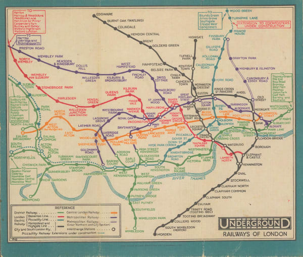
 Underground Electric Railways Company of London (UERL), The Underground Electric Railways of London, 1904£ 2,800 (framed)
 -
 The "District Railway" Map of London - 7th Edition, 1906Sampson Low, Marston & CompanySeries: LondonSampson Low, Marston & Company, The "District Railway" Map of London - 7th Edition, 1906£ 650.00
 -
 George Philip & Son Ltd., Perrier Motor Map of Scotland, 1906£ 400.00
 -
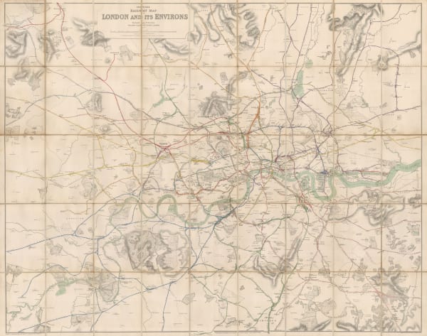
 Railway Clearing House, Official Railway Map of London and its Environs, 1907£ 550.00
 -
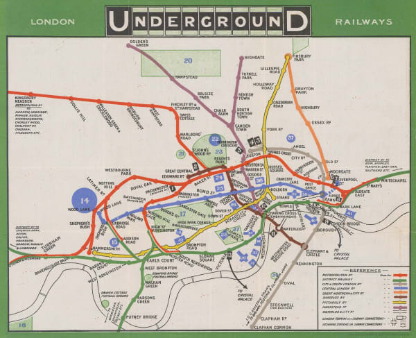
 London Underground, London Underground Railways, 1909£ 950 (framed)
 -
 Royal Geographical Society (RGS), South Africa showing Railways, 1910£ 135.00
 -
 London Underground, London Underground Railways, 1910£ 950 (framed)
 -
 Joseph Pearson, Pearson's Cycling, Motoring, and Traveller's Road Map of 50 Miles around Sydney, 1910 c.£ 395.00
 -
 Joseph Pearson, Road Map of 50 Miles around Sydney, 1910 c.£ 395.00
 -
 G. De Kelsch, Russian schematic map of the Ussuriysk, Manchurian, and Korean Railroads, 1910 c.£ 525.00
 -
 Central Argentine Railways, Map of the Argentine Railways, 1911£ 900.00
 -

-
 Walter Boldero Paton, Railway Map of Victoria, 1912£ 295.00
 -
 London Underground, London Underground Railways, 1912£ 950 (framed)
 -
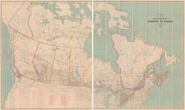
 Edward Stanford, Railway Map of the US & Canada, 1913£ 1,450.00
 -
 Royal Geographical Society (RGS), Railway map of Africa, 1916£ 485.00
 -
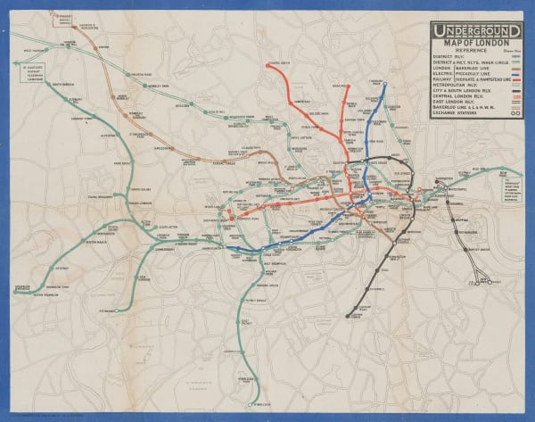
 London Underground, Underground Map of London with some Motor Bus Extensions, 1916£ 625 (framed)
 -
 Edward Stanford, Trans-Siberian Railway, 1917£ 1,250.00
 -
 Railway Clearing House, Official Railway Map of the West of England, 1918£ 395.00
 -
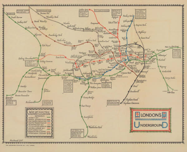
 London Underground, Map of the Electric Railways of London, 1919£ 1,200 (framed)
 -
 Royal Geographical Society (RGS), Africa showing British possessions at their height, 1920£ 345.00
 -
 O.A. Smith, Relief Map of the Territory Served by the Lines of the Pacific Electric Railway in Southern California, 1920£ 950.00
 -
 Waterlow & Sons, Railway Map of Argentina, 1921£ 1,350.00
 -
 Macdonald Gill, Map of Electric Railways of London, 1921£ 1,350.00
 -
 MacDonald Gill, London Underground, 1922£ 1,250 (framed)
 -
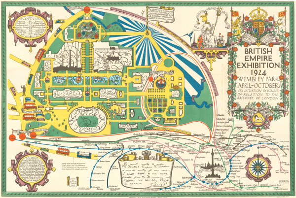
 Kennedy North, British Empire Exhibition 1924, 1923£ 650.00
 -
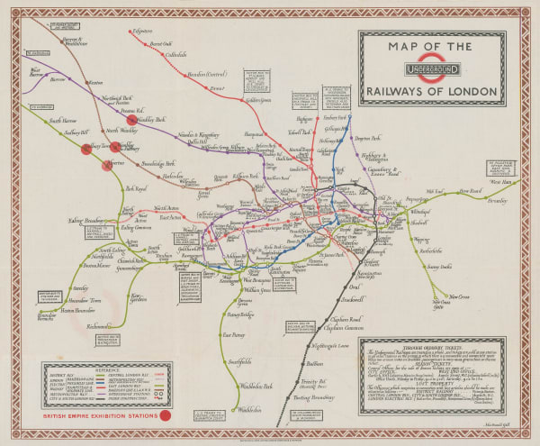
 Macdonald Gill, Map of the Underground Railways of London, 1923£ 1,650 (framed)
 -
 Waterlow & Sons, Underground Map of London, 1924£ 750.00
 -
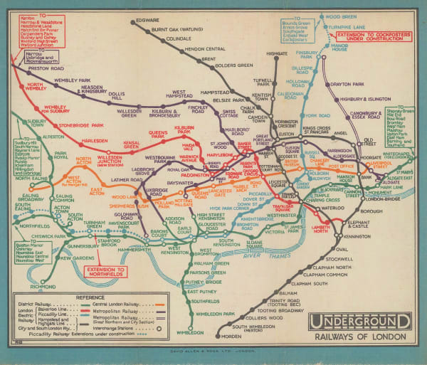
 J.C. Betts, Underground Railways of London, 1924£ 750 (framed)
 -
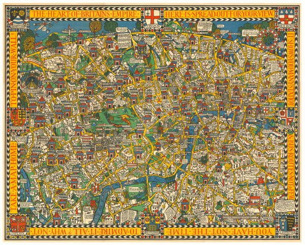
 Macdonald Gill, The Wonderground Map of London, 1924 c.£ 4,800 (framed)
 -
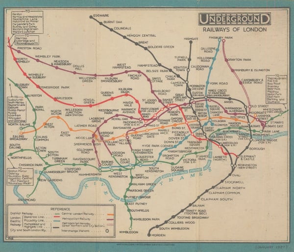
 Fred H. Stingemore, Underground Railways of London, 1927£ 795.00
 -
 Fred H. Stingemore, Map of London's Underground Railways, 1927Reserved
 -

-
 Railway Clearing House, Cardiff, 1928£ 55.00
 -
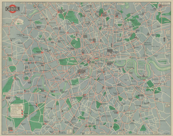
 London General Omnibus Co., General Omnibus Map of London, 1929£ 195.00
 -
 Anonymous, Railway Map of the Western USA, 1930£ 115.00
 -
 Fred H. Stingemore, Map of London's Underground Railways, 1930£ 795 (framed)
 -
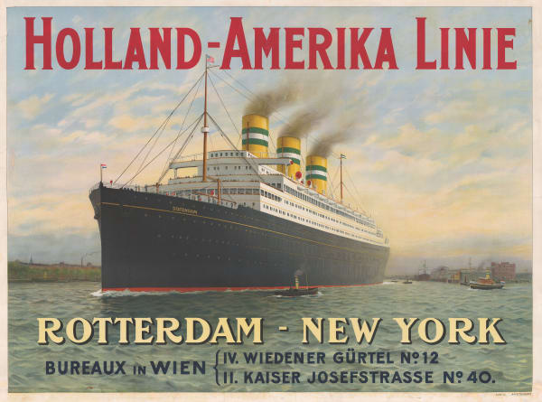
 Van LL, Holland-Amerika Linie, 1930 c.£ 4,950.00
 -
 Fred H. Stingemore, Underground Railways of London, 1931£ 795 (framed)
 -
 Fred H. Stingemore, Map of London's Underground Railways, 1931£ 795 (framed)
 -
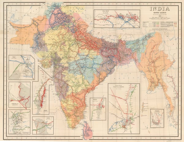
 Survey of India, India Showing Railways, 1932£ 475.00
 -
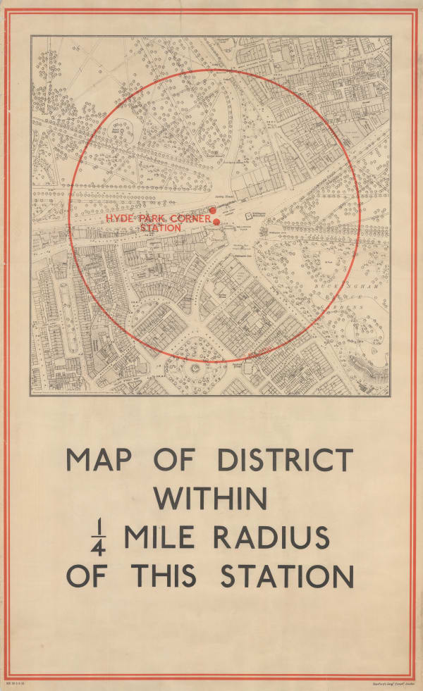
 Edward Stanford, Hyde Park Corner Tube Station and 1/4 Miles Around, 1932£ 1,250.00
 -

-

-
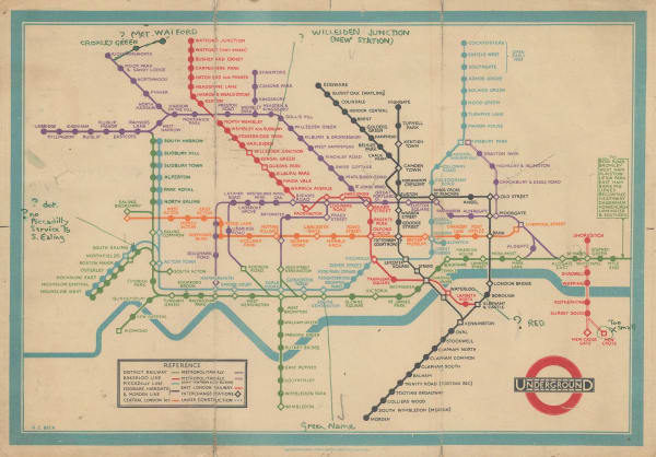
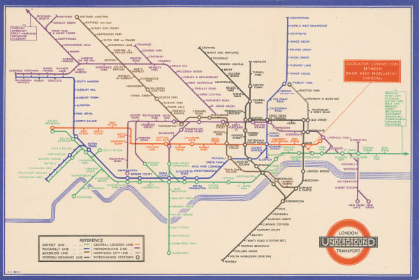
 Harry Beck, First Edition - January, 1933£ 4,500.00
 -
 Air France, Air France - 'Reseau Aerien Mondial', 1934£ 3,500.00
 -

-
 Harry Beck, London Underground Map, 1934£ 750 (framed)
 -
 Harry Beck, London Underground Map, 1935£ 550 (framed)
 -
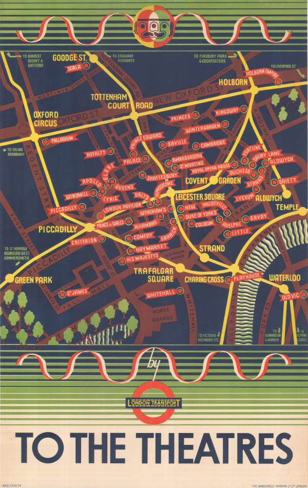
 Clifford & Rosemary Ellis, Christmas Shopping by Underground Poster, 1935£ 4,000 (framed)
 -

-

-
 Harry Beck, London Underground Map, 1936£ 425.00
 -

-
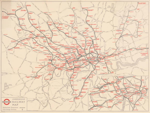
 London Transport, Underground Railway Map, 1937£ 450.00
 -
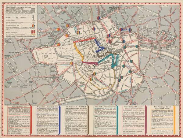
 Geographia Ltd., The Coronation Area, 1937£ 450 (framed)
 -
 Air France, Postcard - Air France 'Reseau Aerien Mondial', 1937 c.£ 275.00
 -
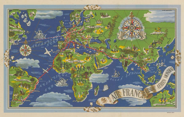
 Air France, Air France 'Reseau Aerien Mondial', 1937 c.£ 4,500.00
 -
 G. & J. Bartholomew, Environs of Paris: Rail and Automobile Routes, 1938£ 28.00
 -
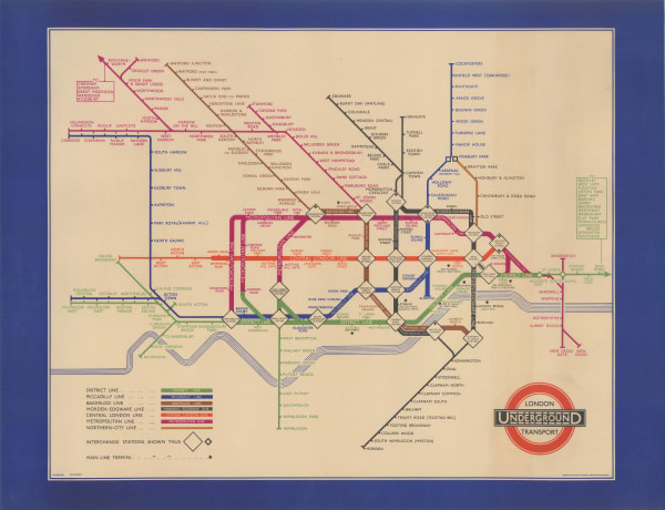
 Hans Schleger, The First 'Zero' Tube Map, 1938£ 500 (framed)
Page
1
of 2


