-
 Claudius Ptolemy & Laurent Fries, Ptolemaic Map of France, 1541£ 1,750.00
 -
Lucas Waghenaer, Sea Chart of the Algarve, 1584 c.£ 1,100.00
-
-
Lucas Waghenaer, Description des Costes Marines d'Angleterre, entre Pleymouth & Portlandt, avec les principaulx haures d'icelles, 1590£ 3,500.00
-
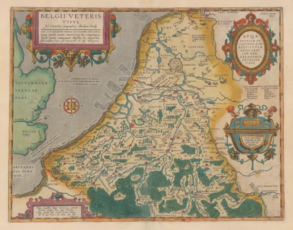
Abraham Ortelius, Ancient Belgium, 1592£ 945.00
-
Abraham Ortelius, Ancient Germany, 1592£ 495.00
-
-
Samuel Purchas, Holy Land during Biblical times, 1625£ 395.00
-
-
John Speed, The Ancient Roman Empire , 1627£ 3,950.00
-
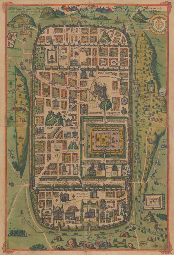
Benito Arias Montanus, Ancient Jerusalem, 1640 c.£ 575.00
-
Jan Jansson, Thrace during the Classical period, 1640 c.£ 625.00
-
Famiano Strada, Leo Belgicus, 1645£ 2,500.00
-
-
-
Robert Dudley, West Africa & the Gulf of Guinea, 1661£ 2,250.00
-
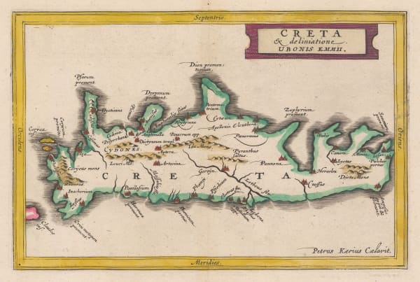
Jan Jansson, Ancient Crete, 1661£ 245.00
-
Jan Jansson, Ancient Greece, 1661£ 325.00
-
Jan Jansson, Northern Italy, or Cisalpine Gaul, 1661£ 195.00
-
Jan Jansson, Ancient Thrace, 1661£ 175.00
-
Jan Jansson, Tuscany during the Roman Period, 1661£ 285.00
-
-
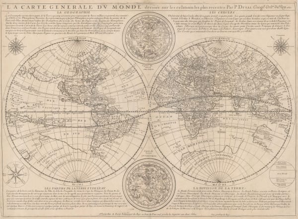
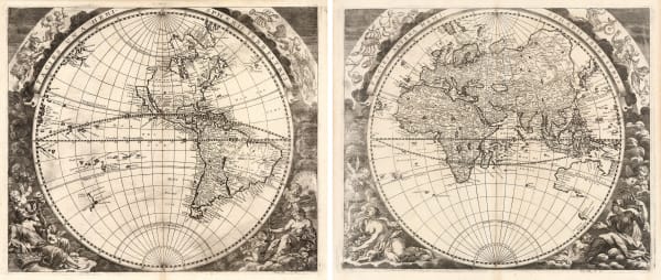
Pierre Duval, Double Hemisphere World Map, 1661£ 4,950.00
-
-
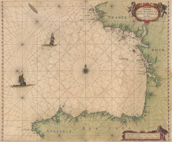
Abraham Goos, The Bay of Biscay, 1670 c.£ 1,385.00
-
Athanasius Kircher, Tabula Geographico-Hydrographica Motus Oceani, Currentes, Abyssos, Montes Ignivomos, 1670 c.£ 2,700.00
-
Abraham Goos, Coast of Brazil, 1675£ 3,950.00
-
-
Nicolas Sanson, The First Map to focus on the Island of California, 1679£ 2,750.00
-
Abraham Goos, Canadian Arctic and Hudson Bay, 1680 c.£ 985.00
-
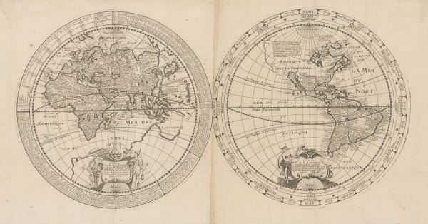
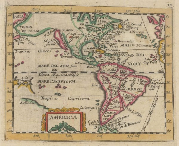
Pierre Duval, America, 1681£ 575.00
-
Joseph Moxon, Map of All the Earth, 1681 c.£ 1,850.00
-
Giovanni Giacomo Rossi, Ancient Greece, 1683£ 850.00
-
Robert Morden, A New Map of Ye World, 1688£ 1,250.00
-
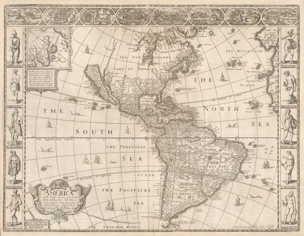
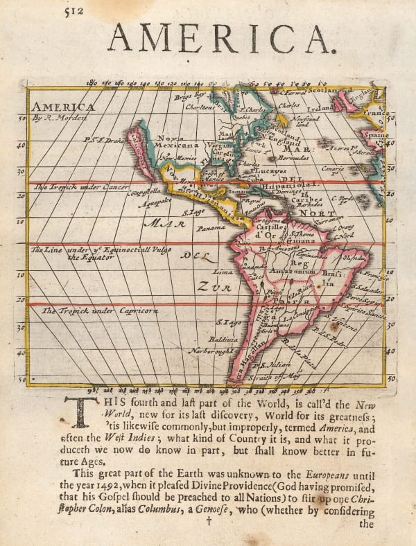
Robert Morden, America, 1688£ 795.00
-
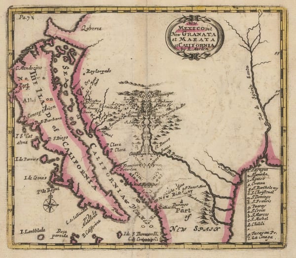
Robert Morden, California as an Island, 1688£ 1,650.00
-
-
Valk & Schenk, Cape Verde Islands, 1690 c.£ 700.00
-
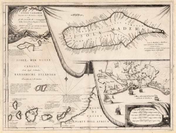
Vincenzo Coronelli, Madeira and view of Funchal, 1690 c.£ 695.00
-
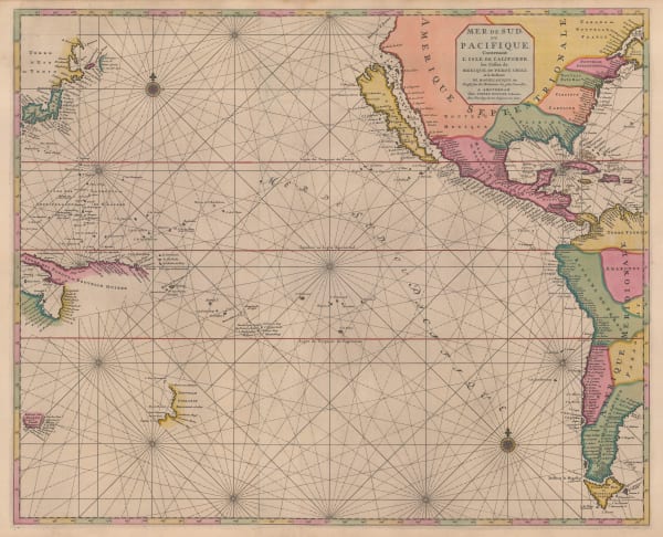
Vincenzo Coronelli, Chart of the Pacific Ocean, 1690 c.£ 2,750.00
-
-
Johann Zahn, Tabula Geographico-Hydrographica Motus Oceani, Currentes, Abyssos, Montes Ignivomos in Universo Orbe Indicans, 1696£ 3,950.00
-
-
Nicolas de Fer, Important map of California as an island, 1700£ 2,350.00
-
Heinrich Scherer, Typus Totius Orbis Terraquei Geographice Delineatus, et Ad Usum Globo Materiali Superinducendus, 1700£ 1,650.00
-
-
Heinrich Scherer, Baja California and Mexico, 1700 c.£ 985.00
-
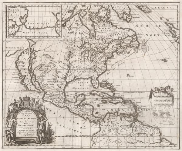
Jacob von Sandrart, Nova Tabula Americae, 1700 c.£ 2,950.00
-
-
Heinrich Scherer, Planisphaerium ex Polo Artico, 1700 c.£ 450.00
-
Heinrich Scherer, North America showing the reach of Catholic missionaries, 1700 c.£ 1,750.00
-
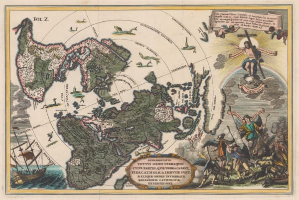
Heinrich Scherer, Repraesentatio Totius Orbis Terraquei Cuius Partes, Quae Umbra Carent, Fide Catholica Imbutae Sunt, Reliquae Omnes Inumbratae Religionis Catholicae Expertes Sunt., 1700 c.£ 1,275.00
-
Heinrich Scherer, World Map, 1700 c.£ 2,650.00
-
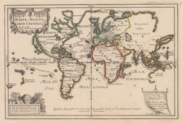
Nicolas de Fer, Mappe-Monde ou Carte Universelle, 1702£ 1,450.00
-
Jeremiah Seller, Chart of the Atlantic and the West Indies, 1703£ 1,750.00
-
Nicolas de Fer, Map of Aeneas' Journey, 1705£ 325.00
-
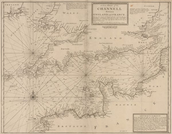
Herman Moll, A New Chart of the Channell between England and France, 1705 c.£ 625.00
-
-
Die Ebbe und Fluth auff einer Flachen Landt-Karten Furgestelt, 1708Eberhard Werner HappelSeries: UlmEberhard Werner Happel, Die Ebbe und Fluth auff einer Flachen Landt-Karten Furgestelt, 1708£ 2,750.00
-
Pierre Mortier, Chart of the Pacific Ocean, 1708£ 3,450.00
-
Totius Americae Septentrionalis et Meridionalis Novissima Representatio, 1708 cJohann Baptist HomannJohann Baptist Homann, Totius Americae Septentrionalis et Meridionalis Novissima Representatio, 1708 c£ 2,750.00
-
Samuel Thornton, Chart of Mumbai (Bombay) to Diu Head, 1711£ 1,100.00
-
Samuel Thornton, Java, Madura and the Straights of Bali, 1711£ 665.00
-
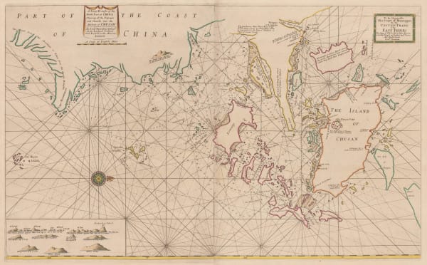
Samuel Thornton, Chart of the Zhoushan Islands, 1711£ 650.00
-
Samuel Thornton, Chart of Southern Borneo, 1711£ 320.00
-
Samuel Thornton, A New Chart of the Coast of Orixa and Galconda, 1711£ 450.00
-
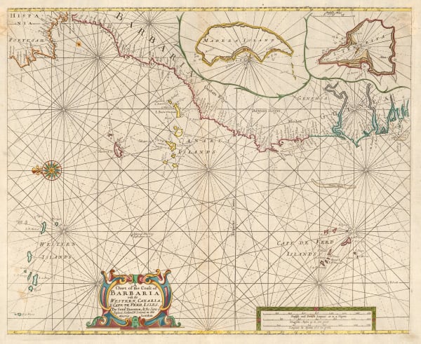
Samuel Thornton, Northwest coast of Africa, 1711£ 950.00
-
Pieter van der Aa, Nouvelle Carte de L'Amerique, 1715 c.£ 2,450.00
-
-
-
-
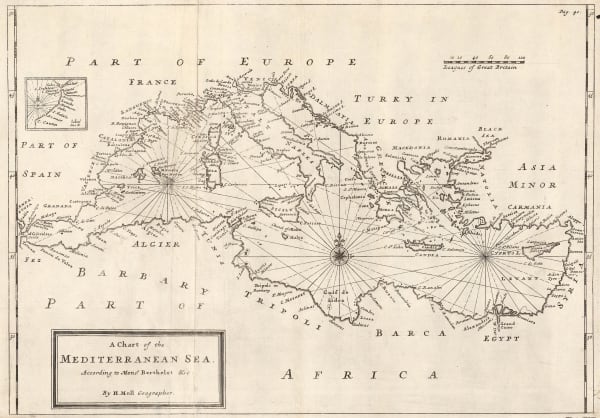
Herman Moll, A Chart of the Mediterranean Sea, 1720 c.£ 625.00
-
Herman Moll, The Roman Roads of England, 1723£ 245.00
-
Herman Moll, North America with California as an island, 1724£ 1,350.00
-
Eusebio Francisco Kino, Larger and rarer version of Kino's landmark map of California, 1726£ 3,750.00
-
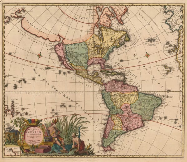
Carolus Allard, Recentissima Novi Orbis sive Americae Septentrionalis et Meridionalis Tabula, 1730£ 4,950.00
-
Herman Moll, Historical Map of the Roman Empire, 1730 c£ 2,450.00
-
-
Herman Moll, A New map of the Whole World with the Trade Winds, 1732 c.£ 1,750.00
-


Page
1
of 15