-

-

-
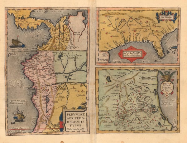
 Cornelis Wytfliet, American south west and Texas, 1597£ 1,675.00
 -
 Abraham Ortelius, La Florida, 1598£ 2,950.00
 -
 Cornelis Wytfliet, Pacific Northwest, the Kingdom of Anian, 1607£ 3,250.00
 -
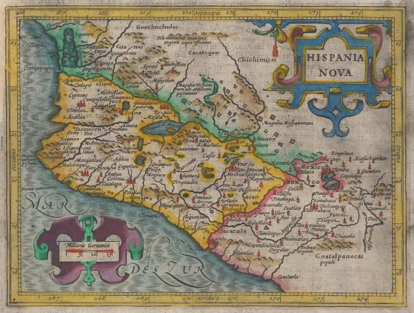
 Petrus Bertius, Early map of Mexico, 1616£ 425.00
 -
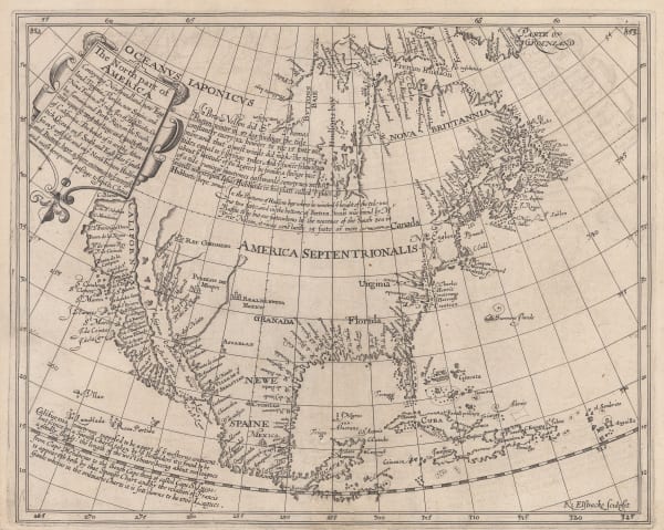
 Samuel Purchas, Pacific coast of Mexico, 1625£ 285.00
 -

-

-
 Willem & Jan Blaeu, Dutch Golden Age map of west-central Mexico, 1650 c.£ 1,250.00
 -

-
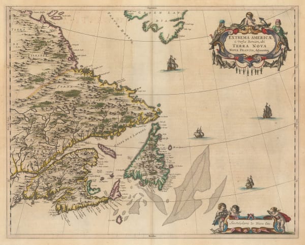
 Willem & Jan Blaeu, North eastern Canada, Newfoundland and southern Greenland, 1662£ 3,950.00
 -
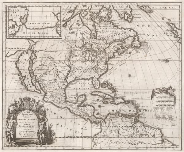
 Jan Jansson, North America, the West Indies, and Central America, 1666£ 4,950.00
 -
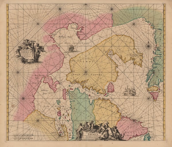
 Abraham Goos, Canadian Arctic and Hudson Bay, 1680 c.£ 985.00
 -

-
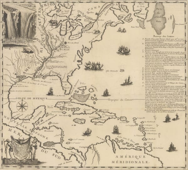
 Vincenzo Coronelli, Louisiana Parte Setteno Descritta, 1690 c.£ 1,150.00
 -
 Nicolas & Guillaume Sanson, Central Mexico and the Yucatan, 1692£ 275.00
 -
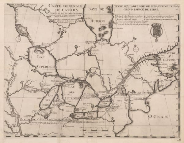
 Vincenzo Coronelli, Eastern Canada and Newfoundland, 1695£ 2,150.00
 -
 Alexandre Olivier Exquemelin, Panama from a historical account of piracy, 1695 c.£ 950.00
 -

-
 Pierre Mortier, Hudson Bay, Baffin Bay and Davis Straits, 1700£ 1,500.00
 -
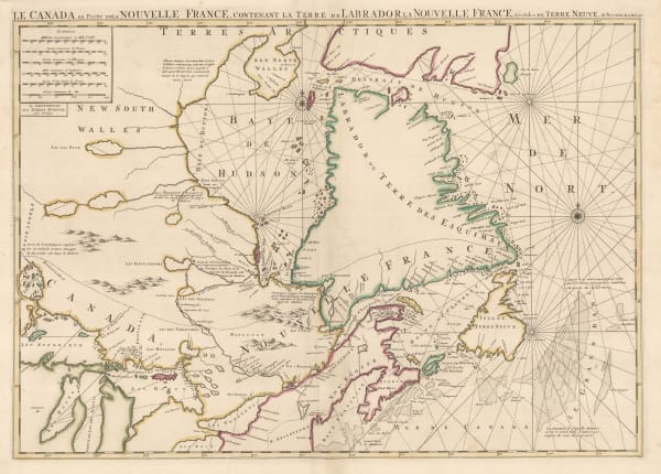
 Pierre Mortier, Eastern Canada and Hudson Bay, 1700£ 4,450.00
 -
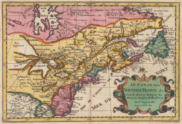
 Nicolas & Guillaume Sanson, Early map of eastern Canada , 1700£ 1,250.00
 -

-
 Heinrich Scherer, North America showing the reach of Catholic missionaries, 1700 c.£ 1,750.00
 -

-
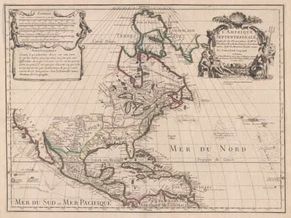
 Guillaume De L'Isle, North America by the first scientific cartographer, 1707 c£ 3,950.00
 -
 Valk & Schenk, Uncommon map of west-central Mexico, 1710 c.£ 685.00
 -

-
 Pieter van der Aa, Mexico, Guatemala, Honduras and Nicaragua, 1714£ 745.00
 -
 Pieter van der Aa, Mexico, Guatemala, Honduras and Nicaragua, 1714£ 495.00
 -
 Louis Renard, James Bay, Hudson Bay and Baffin Bay, 1715£ 1,250.00
 -
 Guillaume De L'Isle, Eastern Canada, 1718 c.£ 2,450.00
 -
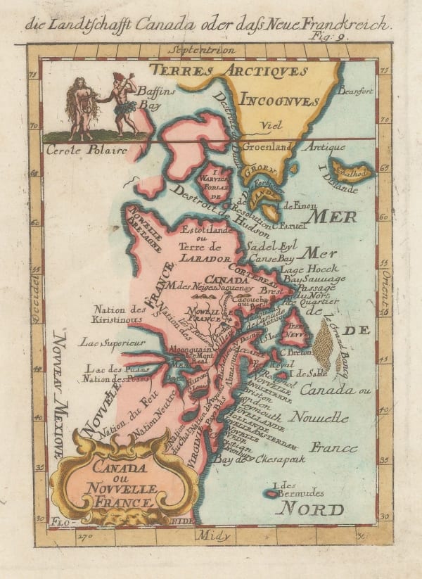
 Alain Manesson Mallet, Miniature map of Eastern Canada, 1719£ 345.00
 -
 Henri Chatelain, North America, Mexico, Central America and the Caribbean, 1719£ 1,250.00
 -
 Henri Chatelain, North America, 1719£ 1,395.00
 -
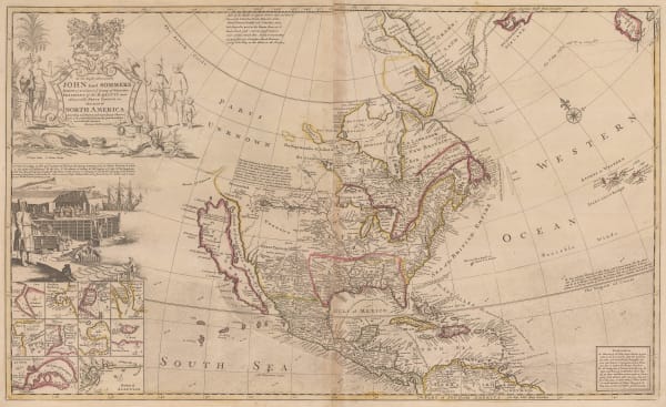
 Herman Moll, North America with California as an island, 1724£ 1,350.00
 -
 Pieter van der Aa, North America, 1729£ 650.00
 -
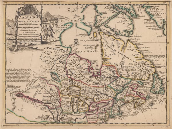
 Covens (Jean) & Mortier (Cornelius), Eastern North America, 1730 c.£ 895.00
 -
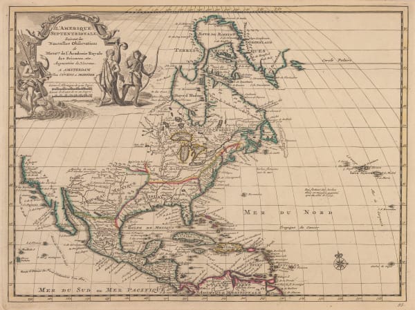
 Covens (Jean) & Mortier (Cornelius), North America, 1730 c.£ 2,450.00
 -
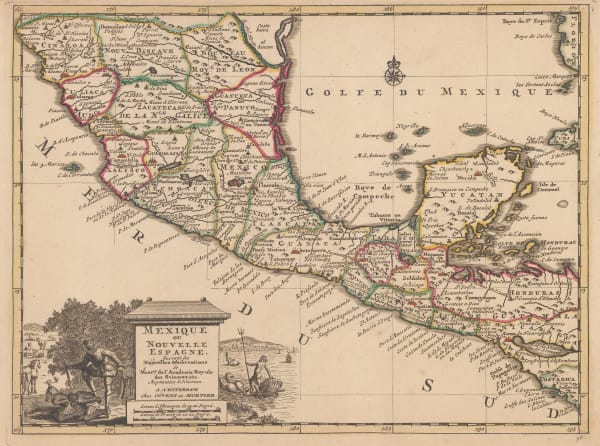
 Covens (Jean) & Mortier (Cornelius), Mexico and Central America, 1730 c.£ 395.00
 -
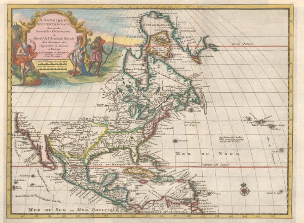
 Covens (Jean) & Mortier (Cornelius), Decorative map of North America, 1730 c.£ 850.00
 -

-
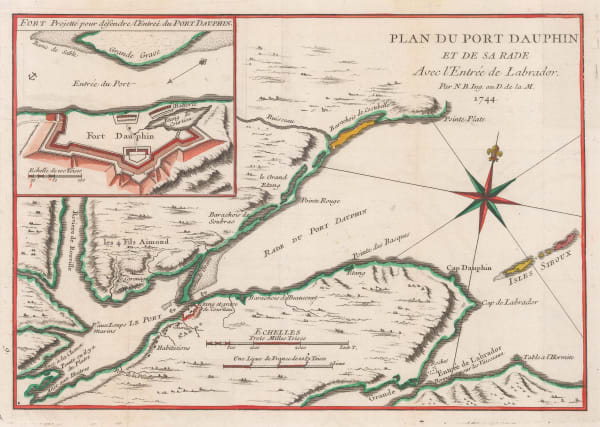
 Jacques-Nicolas Bellin, Montreal Island and environs, 1744£ 575.00
 -
 Jacques-Nicolas Bellin, Carte de la Baye de Hudson, 1744£ 295.00
 -
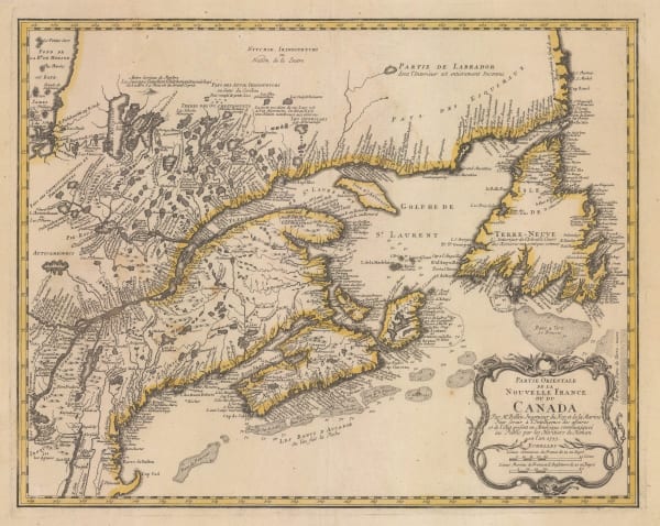
 Jacques-Nicolas Bellin, Eastern Canada, Nova Scotia and Newfoundland, 1744£ 1,250.00
 -
 Jacques-Nicolas Bellin, Lake Champlain, the Richelieu and the St Lawrence Rivers, 1744£ 275.00
 -
 Jacques-Nicolas Bellin, Harbour and bays of Placentia, 1744£ 95.00
 -
 Jacques-Nicolas Bellin, Englishtown and St. Ann's Bay , 1744£ 98.00
 -
 Herman Moll, Southern America, Mexico and Central America, 1745£ 395.00
 -
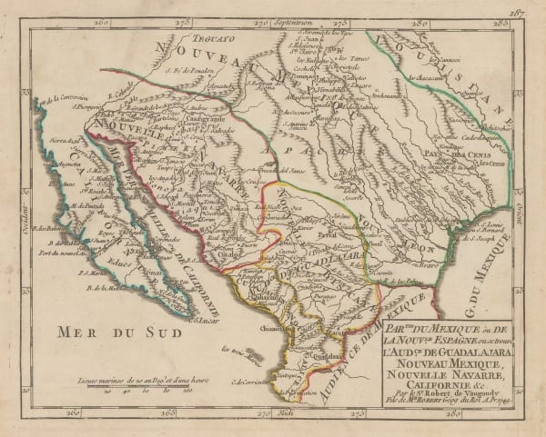
 Robert de Vaugondy, Southwestern US and northern Mexico, 1749£ 465.00
 -
 Jacques-Nicolas Bellin, Hudson Bay and environs, 1750 c.£ 295.00
 -
 Jacques-Nicolas Bellin, Russian Discoveries in Siberia, Alaska & the Bering Strait, 1750 c.£ 725.00
 -
 Jacques-Nicolas Bellin, Portobelo, Panama, 1750 c.£ 175.00
 -
 Jacques-Nicolas Bellin, Laguna de Términos, Mexico, 1750 c.£ 88.00
 -
 Jacques-Nicolas Bellin, Newfoundland and the Gulf of St. Lawrence, 1751£ 225.00
 -
 Jacques-Nicolas Bellin, Mexico, 1754£ 185.00
 -
 Jacques-Nicolas Bellin, Portobelo, Panama, 1754£ 175.00
 -
 Jacques-Nicolas Bellin, Chart of the coast of of Veracruz, 1754£ 155.00
 -
 Homann Heirs, Important German rendition of Bellin's seminal map of the Great Lakes, 1755£ 3,650.00
 -
 Homann Heirs, Newfoundland, Quebec, Nova Scotia and New Brunswick, 1755£ 1,150.00
 -
 Herman Moll, A Description of the Bay of Fundy, 1755 c.£ 395.00
 -
 Jacques-Nicolas Bellin, German edition of Bellin's map of North America, 1755 c.£ 625.00
 -
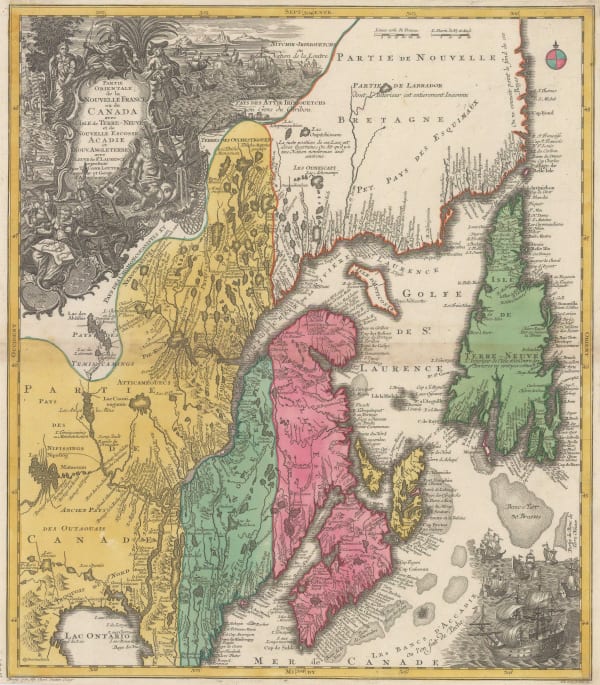
 Tobias Conrad Lotter, Eastern Canada, 1755 c.£ 2,200.00
 -
 Herman Moll, Newfoundland, St. Laurence Bay, The Fishing Banks, Acadia and Part of New Scotland, 1755 c.£ 375.00
 -
 Jacques-Nicolas Bellin, St. Lawrence River from Quebec to Lake Ontario, 1757£ 325.00
 -
 London Magazine, A Map of the Harbour of Louisburg and parts adjacent, 1758£ 145.00
 -
 London Magazine, A Plan of the Fort and Bay of Frontenac, 1758£ 145.00
 -
 Gentleman's Magazine, Île d'Orléans and Quebec City, 1759£ 85.00
 -
 Jacques-Nicolas Bellin, Northern coast of Hudson Bay, 1759£ 295.00
 -
 Gabriel Nikolaus Raspe, North America showing the territory fought over in the French and Indian War, 1760 c.£ 625.00
 -
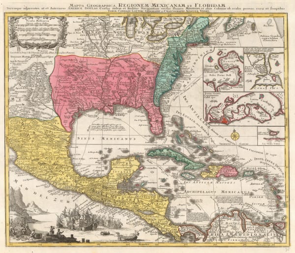
 Tobias Conrad Lotter, Southern USA, Mexico, Central America & the Caribbean, 1760 c.£ 3,450.00
 -
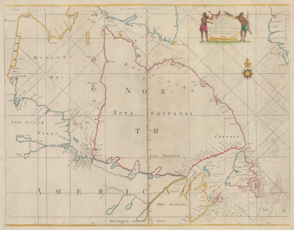
 Mount & Page, New Foundland to Hudson's Bay, 1760 c.£ 925.00
 -
 John Gibson, A Plan of the City of Louisbourg with its Fortifications, 1761£ 125.00
 -
 Andrew Dury, Miniature map of North America, 1761£ 295.00
 -

-
 Jacques-Nicolas Bellin, Hudson Bay, 1763£ 145.00
 -
 Andrew Dury, Canada, 1763£ 325.00
 -
 Andrea Scacciati, Carta rappresentante i cinque Laghi del Canada, 1763£ 675.00
 -
 Veremondo Rossi, Caribbean, Central American and Southern United States, 1763£ 545.00
Page
1
of 6


