-
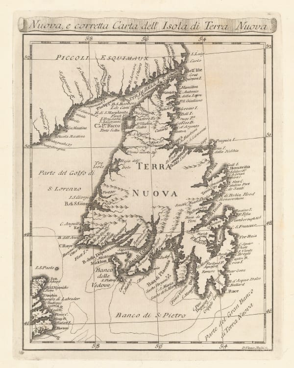
 Veremondo Rossi, Newfoundland, 1763£ 345.00
 -
 Veremondo Rossi, Caribbean, Central American and Southern United States, 1763£ 545.00
 -
 Giuseppe Maria Terreni, Acapulco, 1763£ 245.00
 -
 Jacques-Nicolas Bellin, Bay of Portobelo, Panama, 1764£ 195.00
 -
 Jacques-Nicolas Bellin, Town, harbour and bay at Portobelo, Panama, 1764£ 195.00
 -
 Jacques-Nicolas Bellin, Englishtown and St. Ann's Bay, 1764£ 175.00
 -
 Jacques-Nicolas Bellin, Harbour of St. John's, Newfoundland, 1764£ 145.00
 -
 Jacques-Nicolas Bellin, Mingan Archipelago, Quebec, 1764£ 45.00
 -
 Jacques-Nicolas Bellin, Plan of Heroica Veracruz, 1764£ 175.00
 -
 Jacques-Nicolas Bellin, Chart of Île d'Orléans and Quebec City, 1764£ 295.00
 -
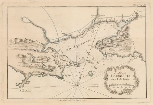
 Jacques-Nicolas Bellin, Louisbourg, 1764£ 225.00
 -
 Jacques-Nicolas Bellin, Louisbourg Port, 1764£ 225.00
 -
 Jacques-Nicolas Bellin, Cape Breton Island , 1764£ 345.00
 -
 Jacques-Nicolas Bellin, Panama, 1764£ 425.00
 -
 Jacques-Nicolas Bellin, Yucatan, 1764£ 425.00
 -
 Jacques-Nicolas Bellin, Chagres, Panama, 1764£ 125.00
 -
 Jacques-Nicolas Bellin, Isthmus of Panama, 1764£ 345.00
 -
 Jacques-Nicolas Bellin, St Lawrence River and Lake Champlain , 1764£ 445.00
 -
 Jacques-Nicolas Bellin, Nova Scotia and Prince of Wales Island, 1764£ 445.00
 -
 Jacques-Nicolas Bellin, Scotland's Darien Colony, Panama, 1764£ 425.00
 -
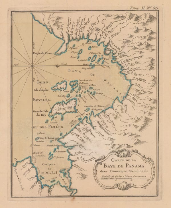
 Jacques-Nicolas Bellin, Panama Bay, 1764£ 285.00
 -
 Jacques-Nicolas Bellin, St. Pierre and Miquelon, 1764£ 195.00
 -
 Jacques-Nicolas Bellin, St. Pierre and Miquelon, 1764£ 195.00
 -
 Jacques-Nicolas Bellin, Strait of Belle-Isle, 1764£ 195.00
 -
 Jacques-Nicolas Bellin, St Pierre Island, 1764£ 145.00
 -
 Jacques-Nicolas Bellin, Acapulco Port, Mexico, 1764£ 195.00
 -
 Jacques-Nicolas Bellin, Colombia & Panama, 1764£ 145.00
 -
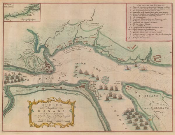
 Isaac Tirion, Plan of the Battle of Quebec, 1765£ 845.00
 -
 Louis Brion de la Tour, North America, 1766£ 745.00
 -
 Isaac Tirion, Eastern Canada, 1769£ 495.00
 -
 Tobias & Georg Lotter, North America, 1770 c.£ 1,950.00
 -
 Northwestern USA, Eastern Russia and the North Pacific, 1770 c.Johann Heinrich HeideggerSeries: ZurichJohann Heinrich Heidegger, Northwestern USA, Eastern Russia and the North Pacific, 1770 c.£ 795.00
 -
 Robert de Vaugondy, West coast of North America, 1772£ 695.00
 -
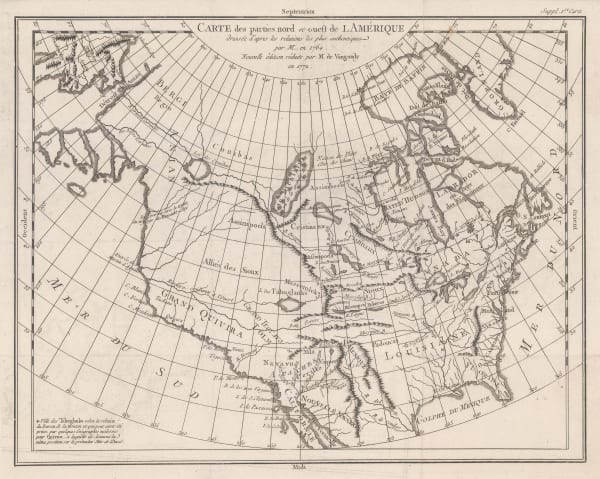
 Robert de Vaugondy, Carte des Parties Nord et Ouest de l'Amerique, 1772£ 695.00
 -
 Prince Edward Island divided into counties, parishes, and individual land grants, 1775Andrew DurySeries: LondonAndrew Dury, Prince Edward Island divided into counties, parishes, and individual land grants, 1775£ 845.00
 -
 Thomas Jefferys, Chart of the St Lawrence River, 1775£ 1,250.00
 -
 Thomas Jefferys, Veracruz, Oazaco, Chiapas & Tabasco, Mexico, 1775£ 550.00
 -
 Thomas Jefferys, Jamaica and the Mosquito Coast, 1775£ 350.00
 -
 Thomas Jefferys, Northern Yucatan, Cancun, Cozumel & Campeche, 1775£ 395.00
 -
 Capt. James Cook, A General Chart of Newfoundland, 1775£ 1,650.00
 -
 Capt. Alexander Cluny, Detailed exploration map of the Northwest Passage, 1775 c.£ 160.00
 -
 Antonio Zatta, Alaska, the Pacific Northwest, and the Bering Strait, 1776£ 1,250.00
 -
 Dr. William Robertson, Southwestern United States and Mexico, 1777£ 1,150.00
 -
 Thomas Bowen, North America before the Louisiana Purchase, 1777£ 695.00
 -
 Antonio Zatta, Hudson Bay and Northeastern Canada, 1778£ 325.00
 -
 Charles Francois Delamarche, Canada, Louisiana, États-Unis, 1778£ 525.00
 -
 Antonio Zatta, North-eastern North America, 1779£ 675.00
 -
 Antonio Zatta, James Bay, Moose River and Fort Moose, 1779£ 285.00
 -
 Antonio Zatta, New York and Pennsylvania, 1779£ 825.00
 -
 Rigobert Bonne, Great Lakes, 1780 c£ 495.00
 -
 Rigobert Bonne, Ontario, the Great Lakes & the US Midwest, 1780 c£ 495.00
 -
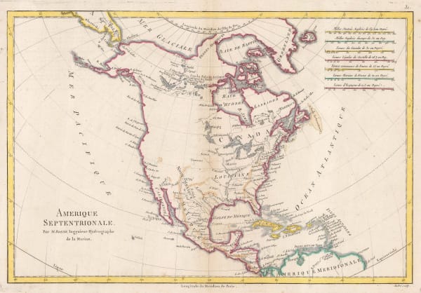
 Rigobert Bonne, North America, 1780 c.£ 345.00
 -
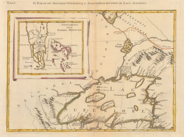
 Antonio Zatta, Early Italian map of Lake Superior, 1780 c.£ 395.00
 -
 Jean Lattré, Hudson Bay and Northeaster Canada, 1783£ 290.00
 -
 Guillaume De L'Isle, The United States, the Caribbean, Mexico and Central America, 1783£ 3,950.00
 -
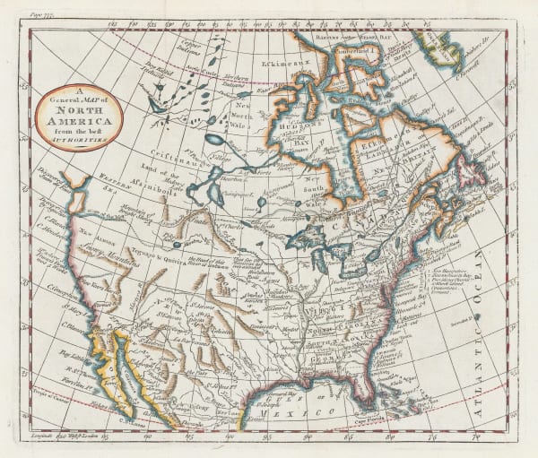
 William Guthrie, A General Map of North America from the best Authorities, 1792£ 295.00
 -
 Important map of the east coast of the United States and Canada, 1792 (c.)Antoine de SartineSeries: ParisAntoine de Sartine, Important map of the east coast of the United States and Canada, 1792 (c.)£ 3,250.00
 -
 Charles Cooke, North America with Captain Cook's discoveries, 1792 c.£ 695.00
 -
 Smith, Reid & Wayland, North America with manuscript annotations, 1795£ 985.00
 -
 John Russell, North America, 1795£ 145.00
 -
 Jacques-Nicolas Bellin, North Pacific, Alaska & the Bering Strait, 1795 c£ 3,450.00
 -
 John Meares, Western Canada, 1795 c.£ 985.00
 -
 John Reid, A General Map of North America drawn from the Best Surveys, 1796£ 895.00
 -
 John Wilkes, British Colonies in North America, 1797£ 175.00
 -
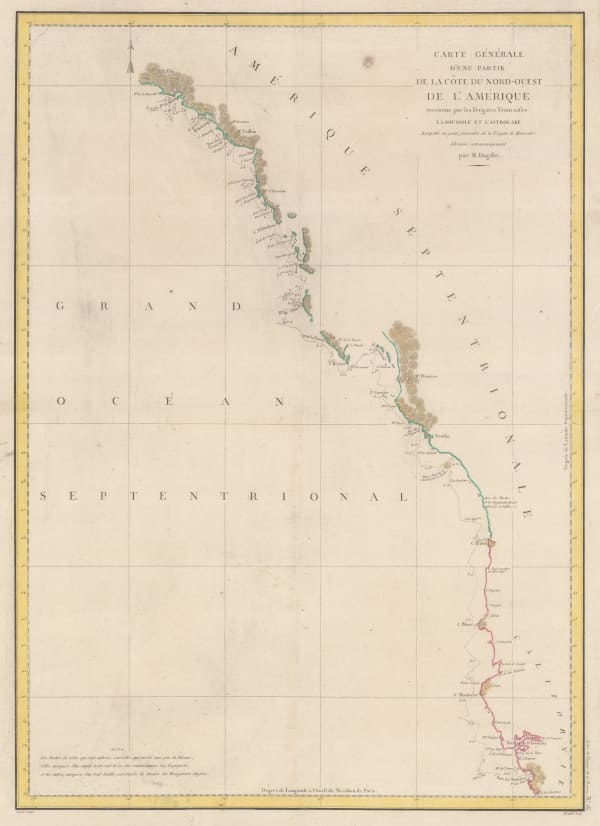
 Comte de la Perouse's voyage, western coast of North America, 1797Jean Francois de La PerouseSeries: ParisJean Francois de La Perouse, Comte de la Perouse's voyage, western coast of North America, 1797£ 675.00
 -
 Andrew Bell, Miniature map of North America, 1797£ 265.00
 -
 William Faden, Western Coast of North America, 1798£ 345.00
 -
 John Russell, North America, 1799£ 850.00
 -
 Daniel Friedrich Sotzmann, North West Pacific coast of America, 1800£ 795.00
 -
 Thomas Kelly, North America, 1802£ 185.00
 -
 Thomas and Andrews, British Possessions in America, 1805£ 295.00
 -
 Morse and Andrews, North America, 1805£ 125.00
 -
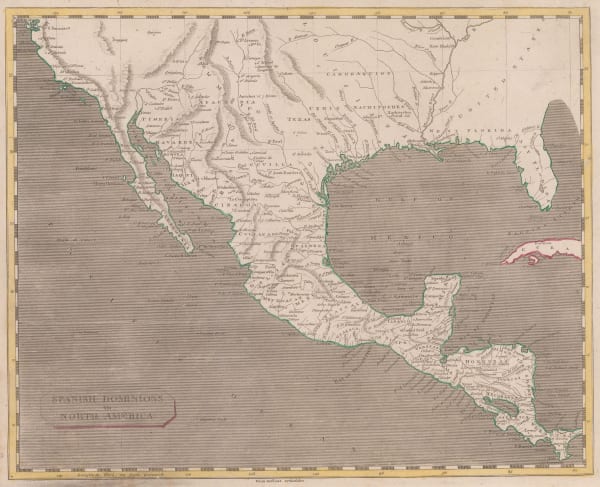
 Thomas and Andrews, Mexico and Southern United States, 1805£ 225.00
 -
 John Russell, British Colonies in North America, 1805 c.£ 115.00
 -
 Eustache Herisson, North America, 1806£ 1,150.00
 -
 C. & E. Brightly, North America, 1806£ 145.00
 -
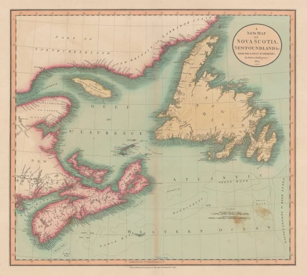
 John Cary, A New Map of Nova Scotia, Newfoundland &c., 1807£ 275.00
 -
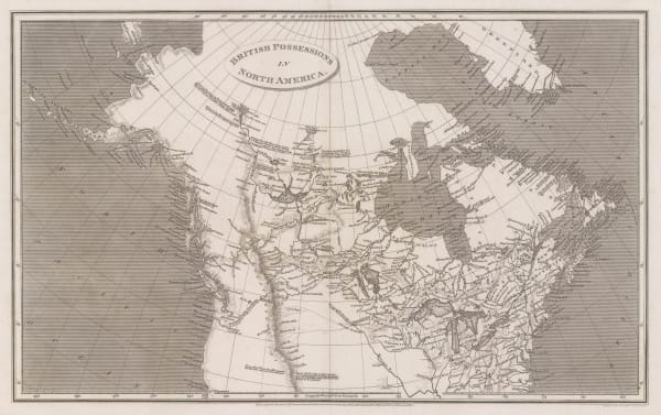
 Aaron Arrowsmith, British Possessions in North America, 1809£ 345.00
 -
 Aaron Arrowsmith, North America, 1809£ 345.00
 -
 Neele, Map of Canada, 1809£ 485.00
▪ North America
Our entire inventory of over 10,000 antique and vintage maps is now available to browse by region, date, cartographer, and subject
Page
2
of 6

