-
 Laurent Fries, Early Map of Southeast Asia, 1541£ 4,250.00
 -

-
 Girolamo Ruscelli, Early map of Southeast Asia, 1574£ 885.00
 -
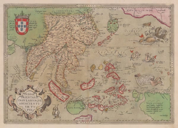
 Tomaso Porcacchi, Early map of Southeast Asia, 1576£ 820.00
 -
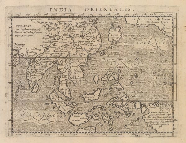
 Giovanni Antonio Magini, Miniature map of Southeast Asia, 1617£ 645.00
 -
 Samuel Purchas, Early map of South East Asia, 1625£ 485.00
 -
 Mercator Hondius, Early map of Southeast Asia, 1628£ 495.00
 -
 Mercator Hondius, Southeast Asia, 1632£ 825.00
 -

-
 Nicolas & Guillaume Sanson, Southeast Asia, 1654£ 2,200.00
 -
 Jan Jansson, Dutch Golden Age map of Borneo, 1657£ 2,250.00
 -
 Nicolas & Guillaume Sanson, New Guinea and the Moluccas (Maluku Islands), 1683£ 295.00
 -

-
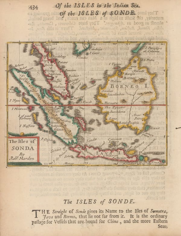
 Robert Morden, Borneo, Sumatra, Java and Malacca, 1688£ 225.00
 -
 Robert Morden, Early map of the Moluccas or Maluku Islands, 1688£ 195.00
 -
![Vincenzo Coronelli, [New Holland and the Far East], 1690 c.](data:image/gif;base64,R0lGODlhAQABAIAAAAAAAP///yH5BAEAAAAALAAAAAABAAEAAAIBRAA7) Vincenzo Coronelli, [New Holland and the Far East], 1690 c.£ 3,200.00
Vincenzo Coronelli, [New Holland and the Far East], 1690 c.£ 3,200.00 -
 Vincenzo Coronelli, North Maluku Islands, 1692£ 550.00
 -
 Nicolas Sanson, Sumatra, Java and Borneo, 1692£ 695.00
 -
 Pierre Duval, Indonesia, 1694 c.£ 345.00
 -
 Vincenzo Coronelli, Early map of the Banda Islands, 1696£ 295.00
 -
 Vincenzo Coronelli, Italian map of Southeast Asia, 1696 c.£ 2,750.00
 -

-
 Valk & Schenk, Sumatra and Singapore Straits, 1700 c.£ 2,000.00
 -
 Nicolas de Fer, Scarce map of Southeast Asia, 1702£ 885.00
 -

-
 Heinrich Scherer, Southeast Asia, 1709£ 1,850.00
 -
 Heinrich Scherer, Southeast Asia, 1709£ 845.00
 -
 Valk & Schenk, Chart of Java, 1710 c.£ 885.00
 -
 Samuel Thornton, Java, Madura and the Straights of Bali, 1711£ 665.00
 -
 Samuel Thornton, Chart of Southern Borneo, 1711£ 320.00
 -
 Pieter van der Aa, Sumatra and the Strait of Singapore, 1714£ 445.00
 -
 Pieter van der Aa, Sulawesi, Maluku Islands and West Papua, 1714£ 395.00
 -
 Pieter van der Aa, Straits of Sunda, 1714£ 345.00
 -
 Pieter van der Aa, Chart of the Banda Islands, 1714£ 985.00
 -
 Josua & Reinier Ottens, Sumatra, Java, and Borneo, 1720 c.£ 1,250.00
 -
 François Valentyn, Sumatra and southern Malay Peninsula , 1720 c.£ 2,200.00
 -
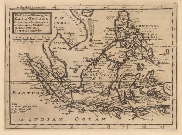
 Herman Moll, The Principal Islands of the East Indies, 1723£ 375.00
 -
 François Valentyn, First large scale map of Bali, 1726£ 1,450.00
 -
 François Valentyn, Important map of Borneo , 1727£ 2,450.00
 -
 Covens (Jean) & Mortier (Cornelius), Borneo, 1730 c£ 545.00
 -
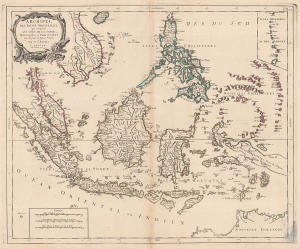
 Henri du Sauzet, Southeast Asia, 1734£ 675.00
 -
 Isaac Tirion, Southeast Asia, 1744£ 345.00
 -
 Johann Wolfgang Heydt, Sunda Straits and Jakarta, 1744£ 595.00
 -
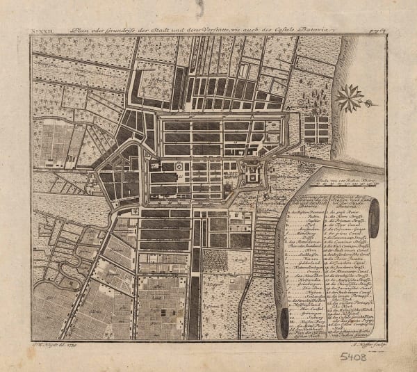
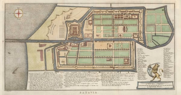
 Johann Wolfgang Heydt, Plan of Jakarta (Batavia), 1744£ 495.00
 -
 Johann Wolfgang Heydt, Plan of Jakarta (Batavia), 1744£ 495.00
 -
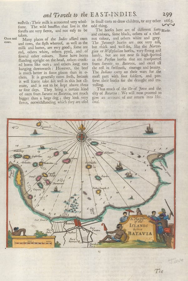
 Awnsham & John Churchill, Jakarta and the archipelago of Thousand Islands (Kepulauan Seribu), 1745£ 195.00
 -
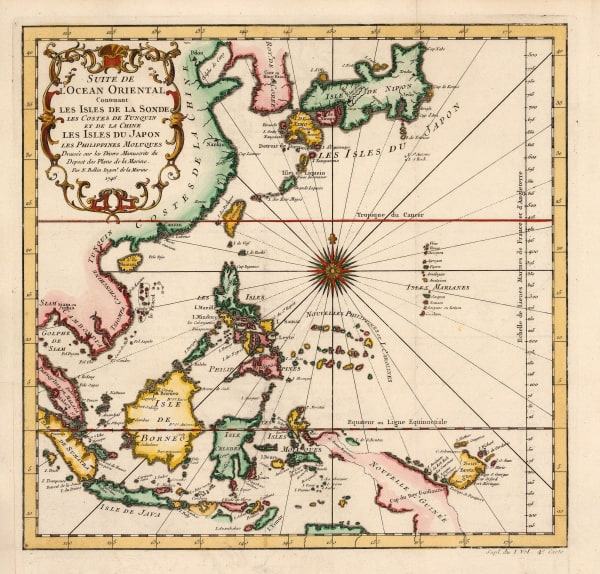
 Jacques-Nicolas Bellin, China, Japan, Philippines & Southeast Asia, 1746£ 445.00
 -
 Georges-Louis Le Rouge, The Moluccas or Maluku Islands, 1748 c.£ 245.00
 -
 Jacques-Nicolas Bellin, Chart of Malaysia, Borneo, Java and Sumatra, 1749£ 465.00
 -
 Jacques-Nicolas Bellin, Jakarta and environs, 1750£ 425.00
 -
 Jacques-Nicolas Bellin, Ceram, Buru, Ambon and Banda Neira, 1750£ 185.00
 -
 Jacques-Nicolas Bellin, Jakarta, 1750£ 645.00
 -
 Herman Moll, Philippines, Indonesia and Malaysia, 1755 c.£ 495.00
 -
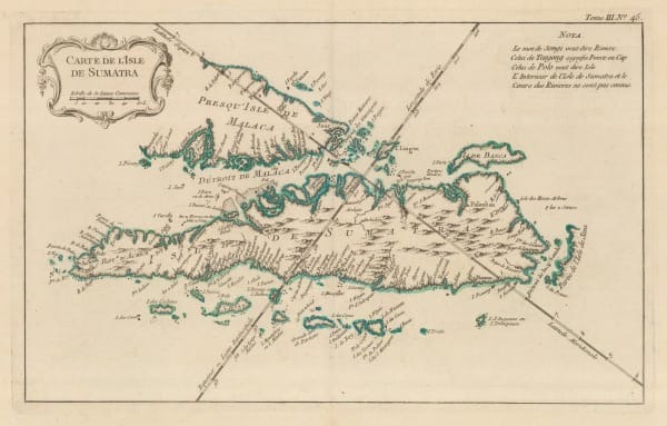
 Jacques-Nicolas Bellin, Sumatra and the Malacca Straits, 1760£ 450.00
 -
 Jacob van der Schley, Jakarta (Batavia), 1760 c.£ 525.00
 -
 Jacques-Nicolas Bellin, French map of Java, 1764£ 345.00
 -
 Jacques-Nicolas Bellin, Ternate, Tidore, Mare, Moti, Makia and Bacan, North Maluku Islands, 1764£ 125.00
 -
 Jacques-Nicolas Bellin, Sumatra, Singapore & Malaysia, 1764£ 395.00
 -
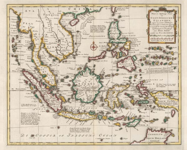
 Willem Albert Bachiene, Southeast Asia, 1774£ 1,250.00
 -
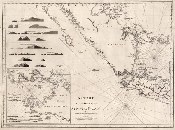
 Robert Sayer, A Chart of the Straits of Sunda and Banca, 1778£ 775.00
 -
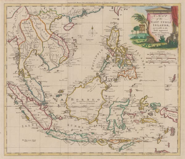
 Thomas Conder, East Indies, 1778£ 895.00
 -
 Francois Santini, Southeast Asia, 1778£ 525.00
 -
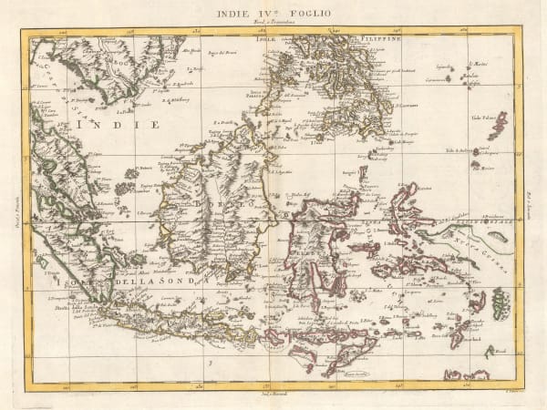
 Antonio Zatta, South East Asia, 1780£ 325.00
 -
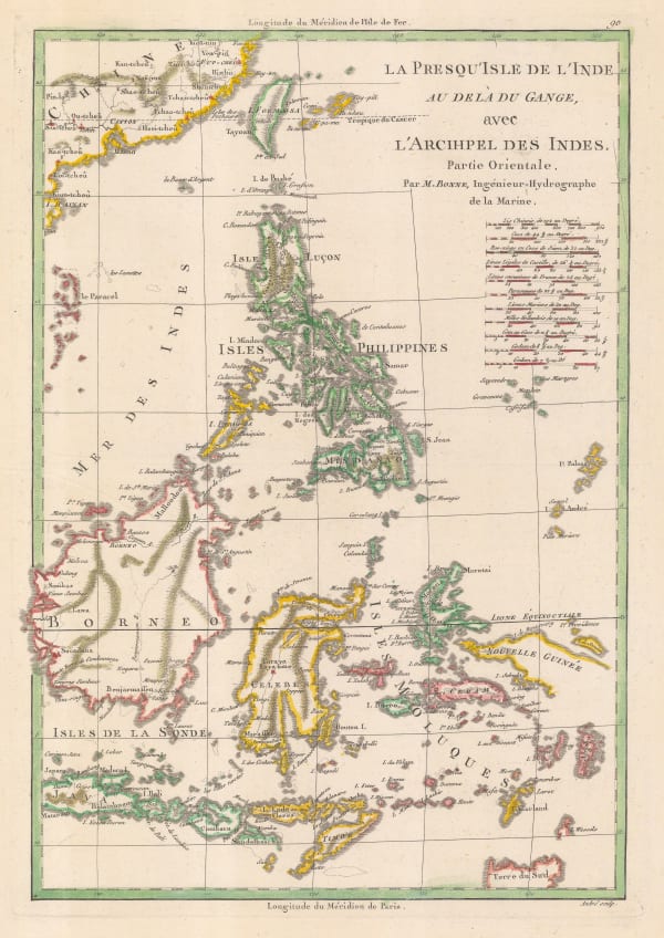
 Rigobert Bonne, Philippines with parts of part of Indonesia, New Guinea, Taiwan and southeast China, 1780 c£ 550.00
 -
 Jean-Baptiste de Mannevillette, Sea Chart of Java, Indonesia, 1780 c.£ 925.00
 -
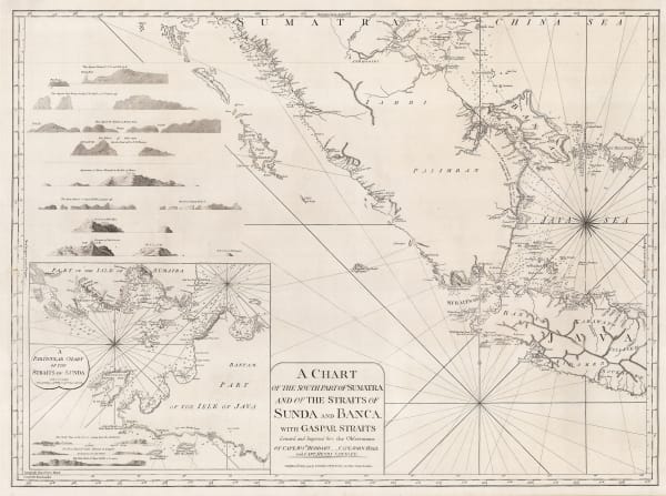
 Laurie & Whittle, A Chart of the Southern Part of Sumatra and of the Straits of Sunda and Banca, 1794£ 925.00
 -
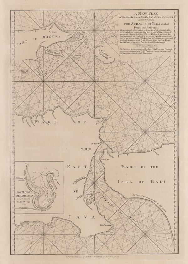
 Laurie & Whittle, Bali Strait, 1794£ 395.00
 -
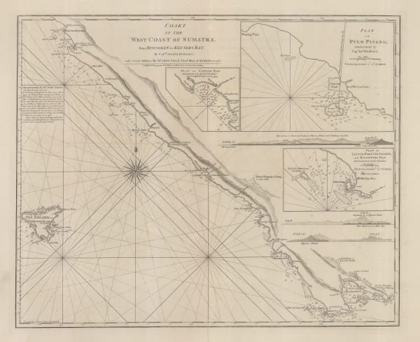
 Laurie & Whittle, Chart of the west Coast of Sumatra, 1794£ 495.00
 -
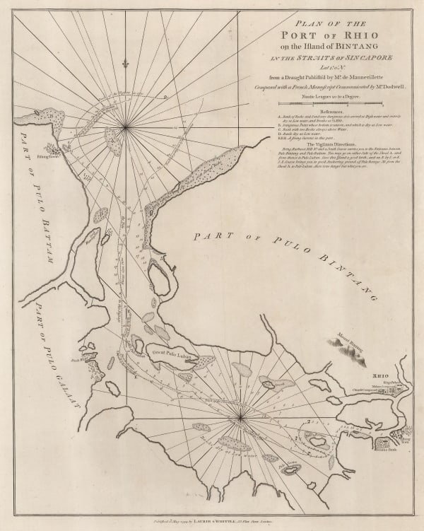
 Laurie & Whittle, Chart of the Riau Islands in the Singapore Strait, 1794£ 1,250.00
 -
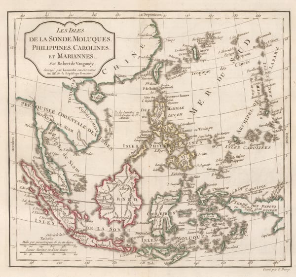
 Charles Francois Delamarche, Southeast Asia, 1795£ 375.00
 -

-
 William Heather, Two charts of Islands in the Banda Sea, 1800£ 2,950.00
 -
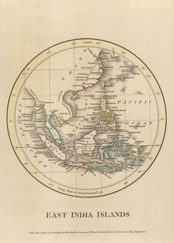
 George Cooke, Southeast Asia, 1800£ 175.00
 -
 William Heather, Georgian chart of the Sunda Straits, 1803£ 1,950.00
 -
 William Heather, A New Chart Shewing the Navigation through the Sunda Straights to Batavia, 1803£ 2,950.00
 -
 Aaron Arrowsmith, Chart of the East India Islands, 1808£ 375.00
 -
 John Pinkerton, East India Isles, 1813£ 985.00
 -
 John Thomson, Southeast Asia, 1815 c.£ 495.00
 -
 John Cary, Southeast Asia, 1825£ 645.00
 -
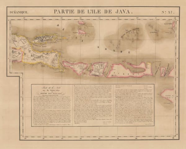
 Philippe Vandermaelen, Java, Bali and Lombok, 1827£ 645.00
Page
1
of 2







![Vincenzo Coronelli, [New Holland and the Far East], 1690 c.](https://artlogic-res.cloudinary.com/w_600,c_limit,f_auto,fl_lossy,q_auto/artlogicstorage/themaphouse/images/view/004f043618f2ad80876c954634ad647ej/themaphouse-vincenzo-coronelli-new-holland-and-the-far-east-1690-c..jpg)


