-
![Claudius Ptolemy & Laurent Fries, [Malay Peninula], 1541](data:image/gif;base64,R0lGODlhAQABAIAAAAAAAP///yH5BAEAAAAALAAAAAABAAEAAAIBRAA7) Claudius Ptolemy & Laurent Fries, [Malay Peninula], 1541£ 2,450.00
Claudius Ptolemy & Laurent Fries, [Malay Peninula], 1541£ 2,450.00 -
Petrus Bertius, Descriptio Arachan et Pegu, 1616£ 325.00
-
Pierre Duval, Presquisle de L'Inde de la le Gange, 1680 c.£ 375.00
-
-
Robert Morden, Of the Peninsula Beyond Ganges, 1688£ 325.00
-
Nicolas & Guillaume Sanson, Partie de l'Inde au dela du Gange, 1700£ 595.00
-
Nicolas de Fer, Les Indes Orientales, Sous les Noms d'équeles est compris L'Empire Du Grand Mogol, les Deux Presqu'iles Deca et de la Le Gange, Les Maldivs, et L'Isle de Ceylan, 1721£ 1,950.00
-
Herman Moll, India beyond Ganges, 1725£ 795.00
-
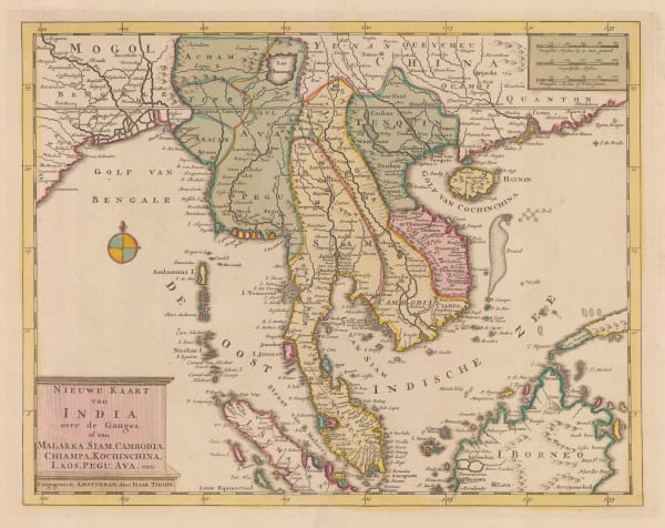
Isaac Tirion, Nieuwe Kaart van India over de Ganges, 1730 c£ 1,150.00
-
Jacques-Nicolas Bellin, Archipel de Mergui, 1750 c.£ 42.00
-
Robert de Vaugondy, Les Indes Orientales, 1751£ 425.00
-
Jacques-Nicolas Bellin, Porte et Bourg de Mergui, 1764£ 195.00
-
Giovanni Maria Cassini, La Peninsola delle Indie di la' dal Gange, 1797£ 1,850.00
-
Michael Symes, A Sketch of the Birman Empire, 1800£ 245.00
-
William Heather, A New Chart of the Andaman and Nicobar Islands with the Adjacent Continent. Correcteo & Improved by William Heather, 1803£ 3,200.00
-
John Walker, A Map of the Kingdoms of Siam and Cochin China, 1828£ 1,150.00
-
John Crawfurd, A Map of the Burman Dominions and Adjacent Countries, 1829£ 785.00
-
Adrien Brue, Carte Generale des Indes, 1836£ 245.00
-
John Arrowsmith, Map of Burmah and Adjacent Countries, 1853£ 675.00
-
Sidney Hall, Birmah, with part of Anam and Siam, 1855 c.£ 395.00
-
Royal Geographical Society (RGS), Map of Burma and its Tributary States, 1857£ 495.00
-
John Rapkin, China and Burmah, 1860 c.£ 175.00
-
Adrien Brue, Carte Générale Des Indes en deçá et an delá du Gange, 1876£ 250.00
-
Royal Geographical Society (RGS), The Sources of Irawadi River, and its supposed connection with the Sanpo River, 1882£ 295.00
-
James Wyld, A Map of the Burmese Empire, 1886£ 1,250.00
-
Royal Geographical Society (RGS), Burma with Parts of India, China and Siam, 1886£ 545.00
-
Royal Geographical Society (RGS), Plan of the Ruby Mine Districts of Burma, 1888£ 595.00
-
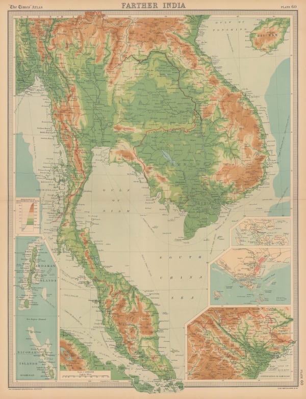
G. & J. Bartholomew, Farther Inida, 1890 c.£ 44.00
-
G. & J. Bartholomew, Orographical Farther India, 1890 c.£ 44.00
-
G. & J. Bartholomew, Orographical Map of Farther India, 1890 c.£ 125.00
-
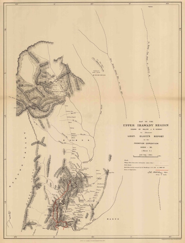
Royal Geographical Society (RGS), Map of the Upper Irawady Region, 1892£ 140.00
-
G. & J. Bartholomew, Section XV, 1893£ 38.00
-
W. & A.K. Johnston, British Burma, Assam, and Manipur, 1894£ 115.00
-
Edward Stanford, Indo-China, 1911£ 295.00
-
Edward Stanford, Burma and Adjacent Countries, 1912£ 295.00
-
John Bartholomew, Burma, Malaya and Indo-China, 1922£ 295.00
-
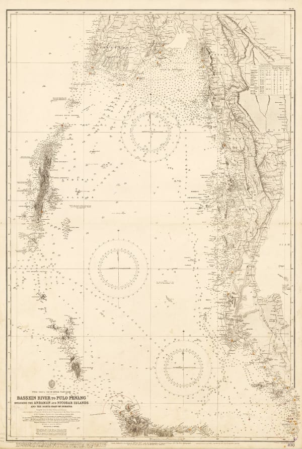
British Admiralty, Bassein River to Pulo Penang, 1932£ 1,550.00
-
War Office, Burma and Thailand, 1944£ 450.00
-
Army Bureau of Current Affairs (ABCA), The Road to Singapore, 1945£ 500.00
-
Her Majesty's Stationery Office (HMSO), Diagrammatic Sketch of Lines of Communication to North East Frontier, July 1944, 1961£ 125.00
Close
Search Inventory
Our entire inventory of over 10,000 antique and vintage maps is now available to browse by region, date, cartographer, and subject
![Claudius Ptolemy & Laurent Fries, [Malay Peninula], 1541](https://artlogic-res.cloudinary.com/w_600,c_limit,f_auto,fl_lossy,q_auto/artlogicstorage/themaphouse/images/view/baf3d57210e9d83afa930de8186ab471j/themaphouse-claudius-ptolemy-laurent-fries-malay-peninula-1541.jpg)


Join our mailing list
* denotes required fields
We will process the personal data you have supplied to communicate with you in accordance with our Privacy Policy. You can unsubscribe or change your preferences at any time by clicking the link in our emails.
![]()