-
 Antonio Zatta, Denmark, 1781£ 325.00
 -
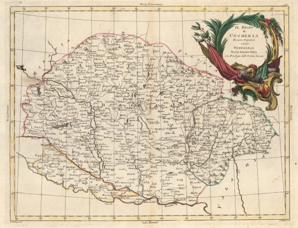
Antonio Zatta, Hungary, 1781£ 115.00
-
Antonio Zatta, Northern Greece, 1781£ 225.00
-
Antonio Zatta, Southern Norway, 1781£ 695.00
-
Antonio Zatta, Sweden & Finland, 1781£ 395.00
-
Antonio Zatta, Provinces of Kraków, Łęczyca, Sieradz, Sandomierz, and Lublin, 1781£ 155.00
-
Antonio Zatta, Palatinates of Minsk, Mstsislaw, Vitebsk, and Połock, 1781£ 185.00
-
Antonio Zatta, Navahrudak and Brest, 1781£ 245.00
-
Willem Albert Bachiene, Southern Egypt, Sudan, Eritrea and Ethiopia, 1781£ 445.00
-
John Harrison, Europe prior to the Napoleonic Wars, 1782£ 125.00
-
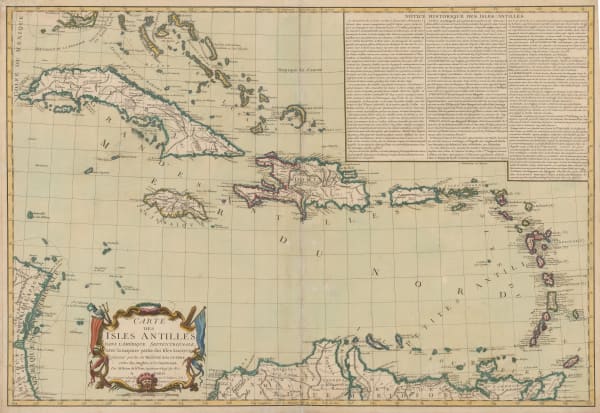
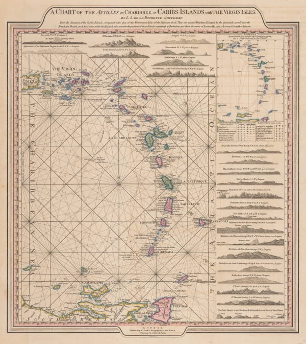
Louis Brion de la Tour, West Indies or Caribbean, 1782£ 1,350.00
-
Rigobert Bonne, Paraguay, Uruguay and Southern Brazil, 1782£ 165.00
-
Antonio Zatta, Governi di Moscovia E Woronez, 1782£ 175.00
-
Jean Denis Janvier, Africa, 1782£ 495.00
-
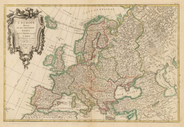
Jean Denis Janvier, Europe, 1782£ 475.00
-
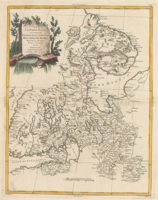
Antonio Zatta, Northern Russia and Southern Finland, 1782£ 175.00
-
Antonio Zatta, Moscow and Voronezh provinces, 1782£ 225.00
-
Jean Lattre, Egypt, Sudan and Ethiopia, 1782£ 75.00
-
Michel René Hilliard d' Auberteuil, Scarce and important Revolutionary War battle plan of the Battle of Monmouth, 1782£ 2,250.00
-
Robert Orme, Central India, 1782£ 225.00
-
Robert Orme, Southern India - Tamil Nadu & Kerala, 1782£ 225.00
-
John Harrison, Italy, 1783£ 115.00
-
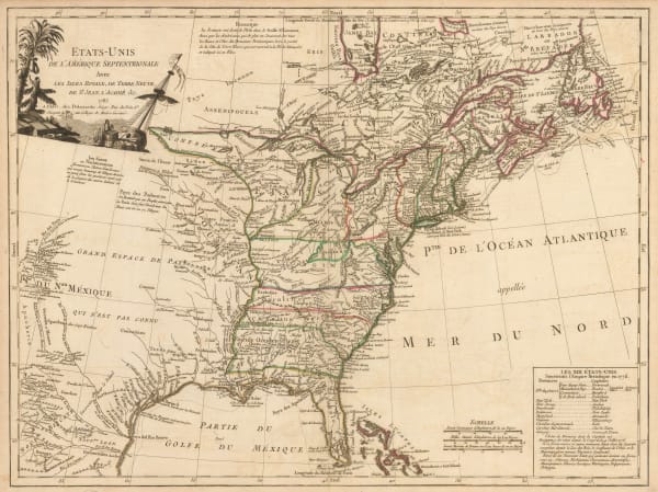
Guillaume De L'Isle, Carte du Mexique et des Etats Unis D'Amerique, partie Meridionale, 1783£ 3,500.00
-
Jean Denis Janvier, L'Amerique, 1783£ 295.00
-
Willem Albert Bachiene, Coast of North Africa, 1783£ 485.00
-
Jean Lattre, Hudson Bay and Northeaster Canada, 1783£ 290.00
-
William Faden, Plan of the Bay, Rock, and Town of Gibraltar, 1783£ 1,750.00
-
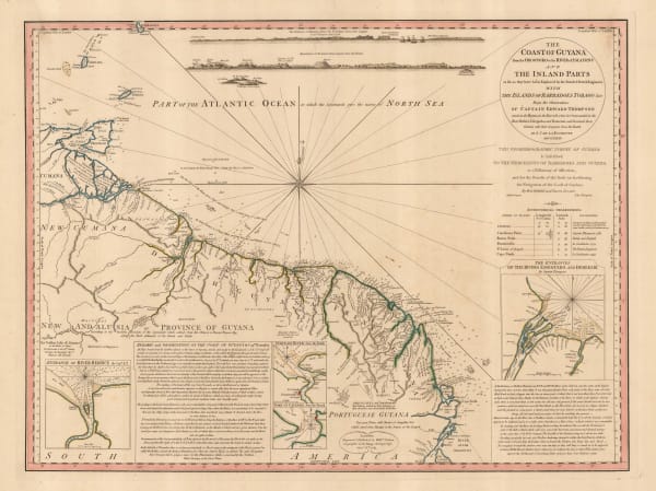
William Faden, The Coast of Guyana from the Oroonoko to the River of Amazons, 1783£ 825.00
-
Edward Hasted, An Accurate Map of the County of Kent, 1783£ 850.00
-
William Faden, Leeward and Windward Islands, 1784£ 3,650.00
-
John Harrison, A Chart of the English Channel with the Coasts of France, Spain, and Portugal, 1784£ 95.00
-
Thomas Kitchin, Plan of St. Petersburg, 1784£ 395.00
-
Jacques-Nicolas Bellin, Carte Reduites des parties connues du Globe Terrestre, 1784£ 3,750.00
-
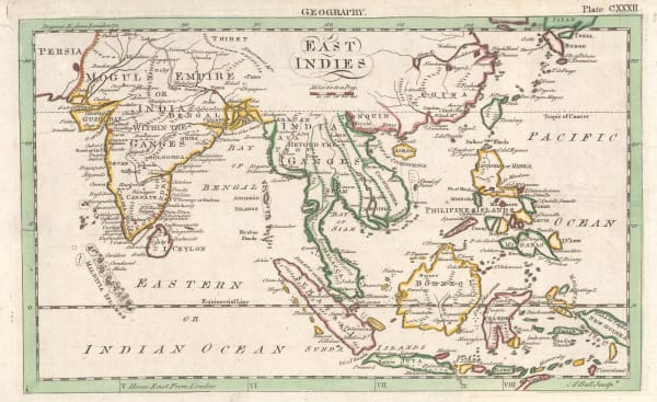
Andrew Bell, East Indies, 1784£ 275.00
-
Andrew Bell, A Map of the World in Three Sections describing the Polar Regions to the Tropics, 1784£ 445.00
-
Francois Santini, Italy, Sicily, Sardinia and Corsica, 1784£ 425.00
-
Antonio Zatta, West Africa from Senegal to Ghana, 1784£ 175.00
-
Antonio Zatta, Nubia (Sudan) and Abyssinia (Ethiopia and Eritrea), 1784£ 125.00
-
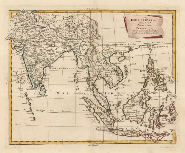
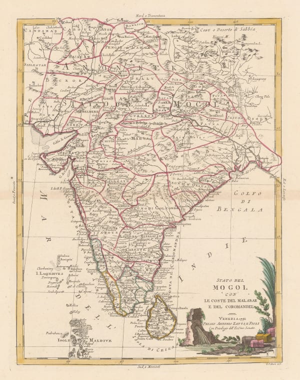
Antonio Zatta, India and Southeast Asia, 1784£ 625.00
-
Gerhard Friedrich Muller, Russian Discoveries in Siberia, Alaska & the Bering Strait, 1784£ 1,200.00
-
Robert Wilkinson, The London Directory, or a New & Improved Plan of London, Westminster, & Southwark, 1784£ 1,350.00
-
Antonio Zatta, L'Arabia, 1784£ 795.00
-
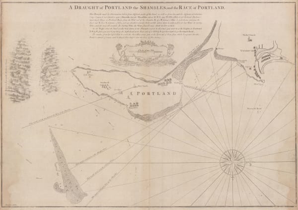
Capt. Greenvile Collins, A Draught of Portland the Shambles and the Race of Portland, 1785£ 625.00
-
Robert Sayer, A New and Correct Plan of the Citie of London, Westminster and Borough of Southwark, 1785£ 1,850.00
-
John Harrison, South America with political divisions, 1785£ 92.00
-
Carington Bowles, Bowles's New Medium Map of Cambridge Shire, Divided into its Hundreds, 1785£ 85.00
-
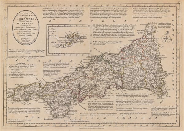
Carington Bowles, Bowles's New Medium Map of Cornwall, Divided into its Hundreds, 1785£ 295.00
-
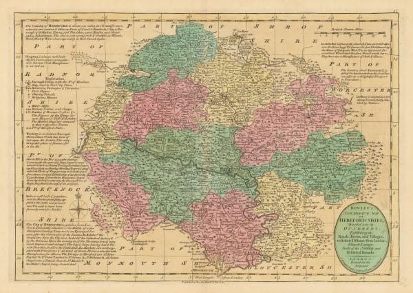
Carington Bowles, Bowles's New Medium map of Hereford Shire, 1785£ 65.00
-
Carington Bowles, Bowles's New Medium Map of Monmouth Shire, 1785£ 95.00
-
Capt. Greenvile Collins, Scarborough, Hartlepool, and Bridlington, 1785£ 275.00
-
Hendrik Klockhoff, One of the earliest maps to recognize the newly-independent United States, 1785£ 2,450.00
-
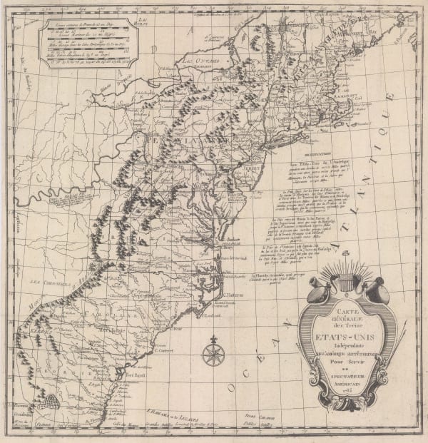
Charles Francois Delamarche, Scarce early map of the newly-independent USA, 1785£ 1,850.00
-
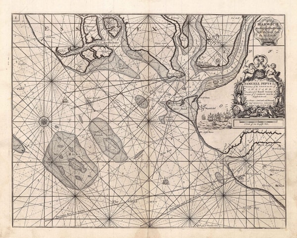
Capt. Greenvile Collins, Harwich, Woodbridg and Handfordwater with the Sands from Nazeland to Hosely Bay, 1785£ 1,250.00
-
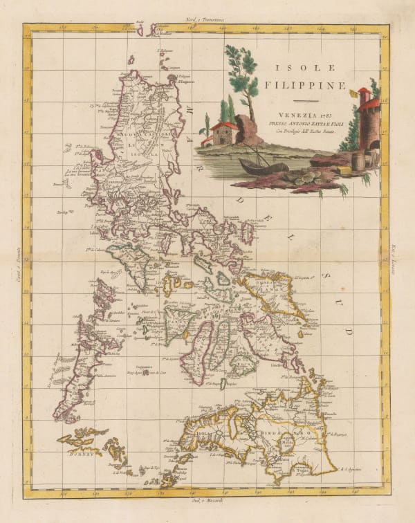
Antonio Zatta, Philippine Islands, 1785£ 1,950.00
-
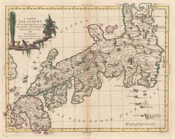
Antonio Zatta, Japan divided into six regions, 1785£ 1,650.00
-
Antonio Zatta, Northern half of South America, 1785£ 525.00
-
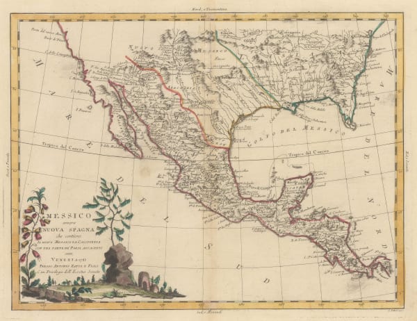
Antonio Zatta, Southern US, Mexico and Central America, 1785£ 795.00
-
Capt. Greenvile Collins, Milford-Haven, 1785£ 395.00
-
J.C. & J.A. Dezauche, Auvergne, Rouergue, and Quercy, 1785£ 245.00
-
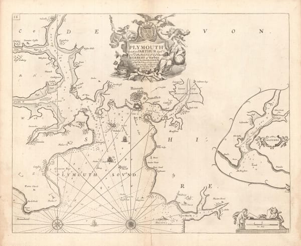
Capt. Greenvile Collins, Plymouth, 1785£ 495.00
-
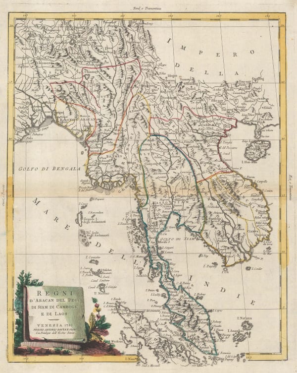
Antonio Zatta, Malay Peninsula and Bay of Bengal, 1785£ 1,150.00
-
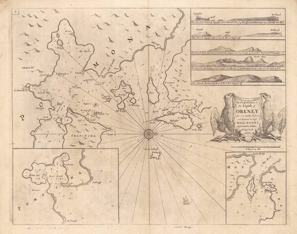
Capt. Greenvile Collins, The Chief Harbours in the Islands of Orkney, 1785£ 345.00
-
Capt. Greenvile Collins, The East Coast of Scotland, 1785£ 445.00
-
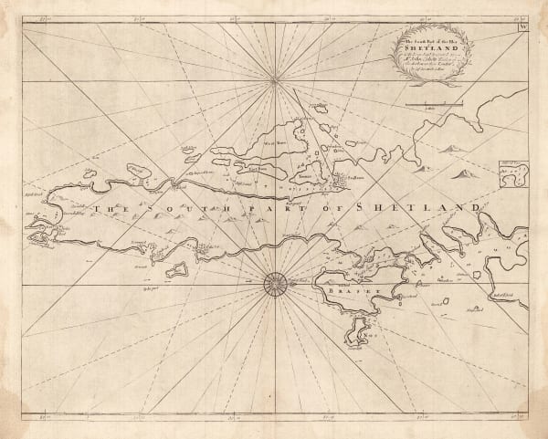
Capt. Greenvile Collins, The South Part of the Isles of Shetland, 1785£ 385.00
-
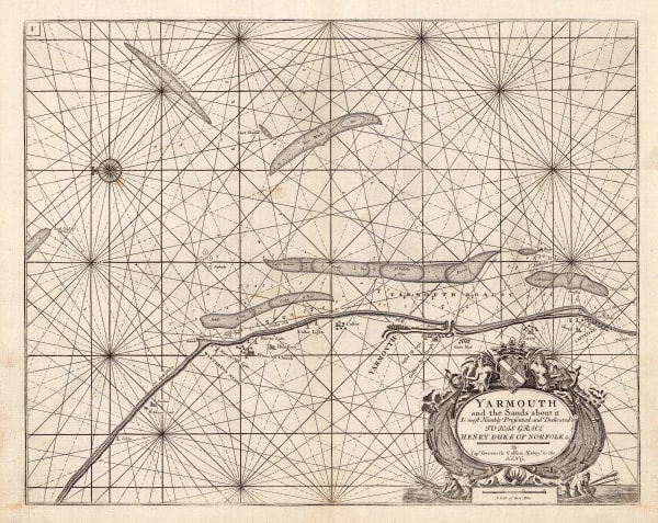
Capt. Greenvile Collins, Yarmouth and the Sands about it, 1785£ 395.00
-
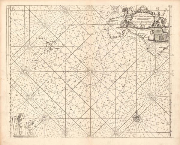
Capt. Greenvile Collins, Sea Chart of Land's End & the Scilly Isles, 1785£ 445.00
-
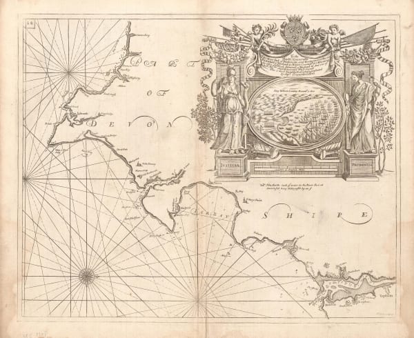
Capt. Greenvile Collins, Sea Chart of the Devon Coast, 1785£ 595.00
-
Capt. Greenvile Collins, Dublin Bay, 1785£ 745.00
-
Capt. Greenvile Collins, Sea Chart of the Harbours of Dundee, Aberdeen & Montrose, 1785£ 495.00
-
Capt. Greenvile Collins, Isle of Wight, 1785£ 1,250.00
-
Capt. Greenvile Collins, Sea Chart of Leith, Edinburgh, 1785£ 575.00
-
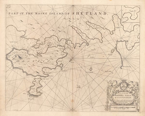
Capt. Greenvile Collins, Shetland - Lerwick, Bressay & Noss, 1785£ 345.00
-
Capt. Greenvile Collins, Sea Chart of the North Sea & East Coast of England], 1785£ 785.00
-
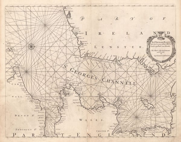
Capt. Greenvile Collins, St. George's Channel, 1785£ 445.00
-
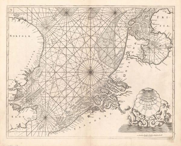
Capt. Greenvile Collins, English Sea Chart of the North Sea, 1785£ 745.00
-
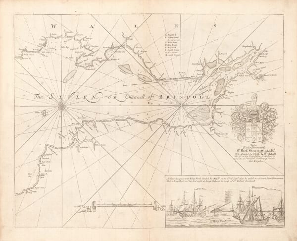
Capt. Greenvile Collins, Bristol, 1785£ 445.00
-
Tardieu, French map of Asia, 1785£ 88.00
-
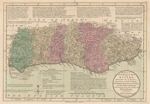
Carington Bowles, Sussex, 1785£ 325.00
-
-
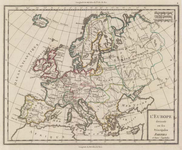
Pierre Tardieu, Europe showing political borders, 1785£ 75.00


![Capt. Greenvile Collins, Sea Chart of the North Sea & East Coast of England], 1785](https://artlogic-res.cloudinary.com/w_600,c_limit,f_auto,fl_lossy,q_auto/artlogicstorage/themaphouse/images/view/55f0a75a81ef615a6ebefa7947734800j/themaphouse-capt.-greenvile-collins-sea-chart-of-the-north-sea-east-coast-of-england-1785.jpg)

Page
45
of 130