-
 Lucas Waghenaer, Sea Chart of the Algarve, 1584 c.£ 1,100.00
 -
Lucas Waghenaer, Description des Costes Marines d'Angleterre, entre Pleymouth & Portlandt, avec les principaulx haures d'icelles, 1590£ 3,500.00
-
-
Robert Dudley, Carta Particolare che comincia con il Fiume Juntas nella Guinea, 1661£ 2,250.00
-
Abraham Goos, Paskaerte Vande Bocht van Vranckrijck Biscajen en Galisen, 1670 c.£ 1,385.00
-
Abraham Goos, Paskaart van Brasil Van Rio de los Amazones, tot Rio de la Plata, 1675£ 3,950.00
-
Abraham Goos, Paskaert Zynde de Noordelijekste Zeekusten van America, 1680 c.£ 985.00
-
Vincenzo Coronelli, Isole Canarie, 1690 c.£ 695.00
-
Jeremiah Seller, A New General Chart for the West Indies, 1703£ 1,750.00
-
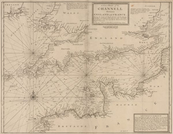
Herman Moll, A New Chart of the Channell between England and France, 1705 c.£ 625.00
-
Samuel Thornton, A Large Chart of Part of the Coast of Guzaratt & India, 1711£ 1,100.00
-
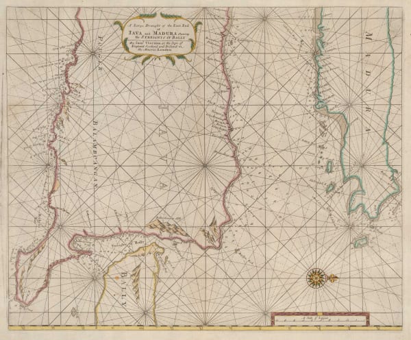
Samuel Thornton, A Large Draught of the East End of Java and Madura shewing the Streights of Bally, 1711£ 665.00
-
Samuel Thornton, A Large Draught of the North Part of China, shewing all the Passages and Chanells into the Harbour of Chusan, 1711£ 650.00
-
Samuel Thornton, A Large Draught of the South Part of Borneo, 1711£ 320.00
-
Samuel Thornton, A New Chart of the Coast of Orixa and Galconda, 1711£ 450.00
-
Samuel Thornton, Chart of the Coast of Barbaria, 1711£ 950.00
-
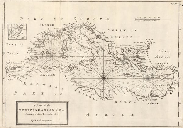
Herman Moll, A Chart of the Mediterranean Sea, 1720 c.£ 625.00
-
George Anson, A Chart of the Channel in the Philippine Islands, through which the Manila Galeon Passes, 1740 c.£ 1,250.00
-
Mount & Page, A New and Correct Chart of England, Scotland and Ireland, 1740 c.£ 895.00
-
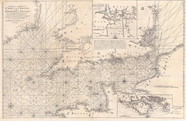
Mount & Page, A New and Correct Chart of the Channel, 1740 c.£ 1,750.00
-
Carte Reduite Des Mers Comprises Entre L'Asie et L'Amerique, 1742Jacques-Nicolas BellinSeries: ParisJacques-Nicolas Bellin, Carte Reduite Des Mers Comprises Entre L'Asie et L'Amerique, 1742£ 3,750.00
-
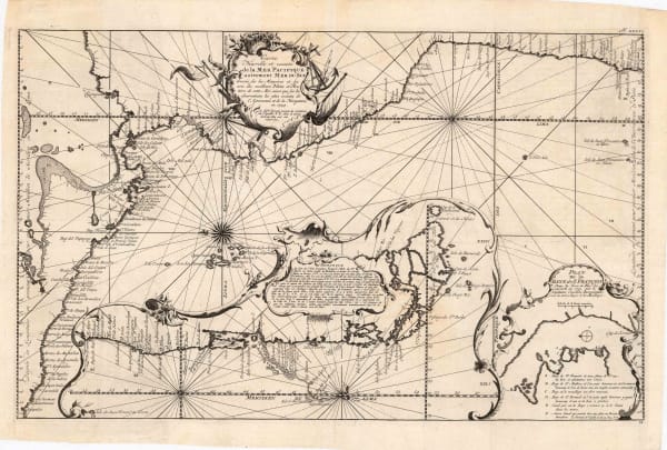
Jacques-Nicolas Bellin, Carte Nouvelle et Exacte de la Mer Pacifique autrement Mer du Sud, 1744£ 525.00
-
Johann Wolfgang Heydt, Particular See - Charte der Strats Sunda, 1744£ 595.00
-
Herman Moll, A General Chart of the Sea Coast of Europe, Africa and America, 1745£ 895.00
-
Jacques-Nicolas Bellin, Carte de L'Ocean Meridional, 1746£ 395.00
-
Mount & Page, A Correct Chart of Hispaniola, 1750 c.£ 1,750.00
-
Mount & Page, A New and Correct Chart of the Trading Part of the West Indies, 1750 c.£ 4,500.00
-
Jonas Hanway, A Plain Chart of the Caspian Sea, 1753£ 985.00
-
Jacques-Nicolas Bellin, Carte du Detroit de le Maire, 1753£ 68.00
-
Jacques-Nicolas Bellin, Carte Reduite de L'Ocean Meridional, 1753£ 985.00
-
Jacques-Nicolas Bellin, Carte Reduite du Detroit de Magellan, 1753£ 165.00
-
Jacques-Nicolas Bellin, Plan de la Baye et Ville de Portobelo, 1754£ 175.00
-
Jacques-Nicolas Bellin, Carte Réduite Dea Isles Açores, 1755£ 475.00
-
Jacques-Nicolas Bellin, Singapore & the Straits of Malacca, 1755£ 4,750.00
-
Jacques-Nicolas Bellin, Carte de la Baye de Trinquemale, 1757£ 185.00
-
Jacques-Nicolas Bellin, Carte Reduite de L'Ocean Occidental, 1757£ 985.00
-
Jacques-Nicolas Bellin, Carte Reduite des Mers du Nord, 1758£ 395.00
-
Jacques-Nicolas Bellin, Carte des Entrees de la Tamise, 1759£ 625.00
-
Jacques-Nicolas Bellin, Carte Hydrographique de la Baye de Cadix, 1762£ 785.00
-
Jacques-Nicolas Bellin, Carte de la Rade de Brest, 1764£ 115.00
-
Jacques-Nicolas Bellin, Carte de la Rade de Dunkerque et ses Bancs, 1764£ 62.00
-
Jacques-Nicolas Bellin, Carte des Costes De Provence, 1764£ 195.00
-
Jacques-Nicolas Bellin, Carte Reduite Des Costes de la Louisiane et de la Floride, 1764£ 4,950.00
-
Jacques-Nicolas Bellin, Coste de Bretagne, 1764£ 88.00
-
Jacques-Nicolas Bellin, Costes de Flandres et de Picardie, 1764£ 65.00
-
Jacques-Nicolas Bellin, Costes de Picardie, 1764£ 62.00
-
Jacques-Nicolas Bellin, Plan du Havre ei des Environs, 1764£ 72.00
-
Jacques-Nicolas Bellin, Plymouth, 1764£ 165.00
-
Jacques-Nicolas Bellin, Essex, Kent & the Mouth of the Thames, 1764£ 165.00
-
Jacques-Nicolas Bellin, Carte Reduite des Costes Occidentales D'Afrique, 1765£ 225.00
-
Jacques-Nicolas Bellin, Carte Particuliere des Costes De Normandie, 1765 c.£ 350.00
-
Emanuel Bowen, A New & Accurate Chart of the Western or Atlantic Ocean, 1766£ 725.00
-
Jacques-Nicolas Bellin, Carte Reduite de la Mer de Marmara et du Canal des Dardanelles, 1772£ 985.00
-
Jacques-Nicolas Bellin, Carte Reduite Du Golphe Du Mexique Et Des Isles De L'Amerique, 1774£ 1,950.00
-
Thomas Jefferys, An Exact Chart of the River St. Laurence, 1775£ 1,250.00
-
Sayer & Bennett, [Atlantic Ocean], 1775£ 675.00
-
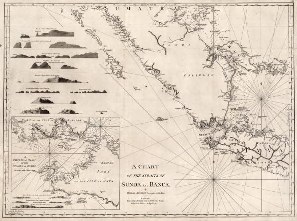
Robert Sayer, A Chart of the Straits of Sunda and Banca, 1778£ 775.00
-
Sayer & Bennett, Plan of the Road of Geddah, 1778£ 1,250.00
-
William Faden, A Chart of the Coasts of Spain and Portugal, with The Balearic Islands, and part of the Coast of Barbary, 1780£ 425.00
-
Jacques-Nicolas Bellin, Carte du Golfe de Gascogne, 1780 c.£ 575.00
-
William Faden, A Chart of the Islands of Jersey and Guernsey, Sark, Herm and Alderney, 1781£ 2,250.00
-
John Bew, A Map and Chart of the Cape of Good Hope, with the Soundings in Table Bay, False Bay & Saldaniia Bay, 1781£ 595.00
-
William Faden, A Chart of the Antilles or Charibbee or Caribs Islands with the Virgin Islands, 1784£ 3,650.00
-
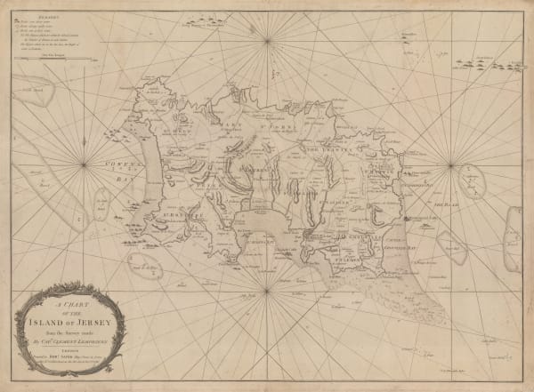
Robert Sayer, A Chart of the Island of Jersey, 1786£ 1,850.00
-
Robert Sayer, A New Hydrographic Sketch of the North, South and Middle Channels, 1786£ 495.00
-
Jacques-Nicolas Bellin, Carte Generale de L'Ocean Atlantique ou Occidental, 1786£ 1,200.00
-
Jacques-Nicolas Bellin, Carte Reduite des Debouquements de St. Domingue, 1787£ 1,275.00
-
John Stockdale, A Chart of the Track of the Alexander on Her Homeward Passage from Port Jackson on East Coast of New South Wales to Batavia, 1789£ 195.00
-
John Stockdale, A Chart of the Track of the Scarborough on her Homeward Passage, 1789£ 245.00
-
William Faden, Plan of the Road to Funchal, 1791£ 785.00
-
Laurie & Whittle, A Chart of the Coast of India, from Goa to Cape Comorin, 1794£ 1,250.00
-
Laurie & Whittle, A Chart of the Eastern Coast, 1794£ 695.00
-
Laurie & Whittle, Madeira & the Canary Islands, 1794£ 925.00
-
Laurie & Whittle, A Chart of the Mahe and Amirantes Islands, 1794£ 2,450.00
-
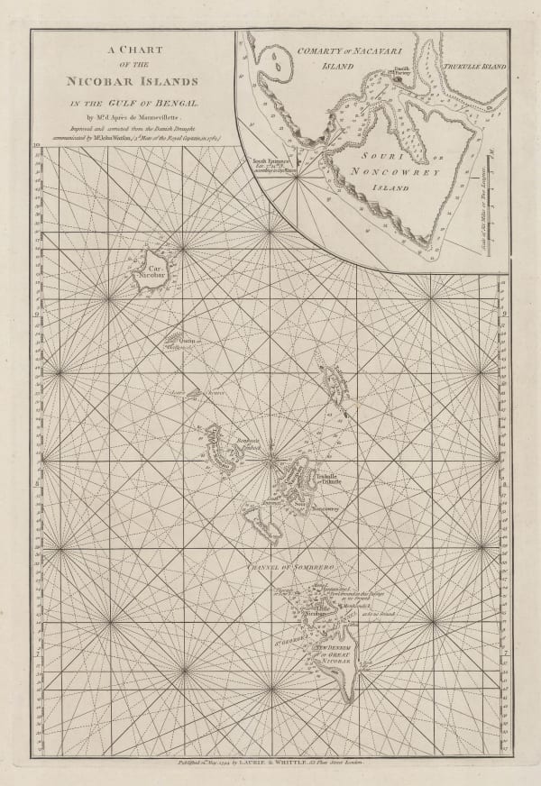
Laurie & Whittle, A Chart of the Nicobar Islands in the Gulf of Bengal, 1794£ 750.00
-
Laurie & Whittle, A Chart of the Northern Part of the China Sea, 1794£ 2,450.00
-
Laurie & Whittle, A Chart of the Northern Part of the Indian Ocean, 1794£ 2,850.00
-
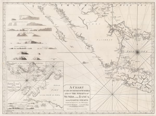
Laurie & Whittle, A Chart of the Southern Part of Sumatra and of the Straits of Sunda and Banca, 1794£ 925.00
-
Laurie & Whittle, A New Chart of the Braces and Sea Reefs at the Entrance of Hoogly River, 1794£ 1,650.00
-
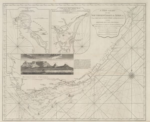
Laurie & Whittle, A New Chart of the Southern Coast of Africa, 1794£ 3,250.00


![Sayer & Bennett, [Atlantic Ocean], 1775](https://artlogic-res.cloudinary.com/w_600,c_limit,f_auto,fl_lossy,q_auto/artlogicstorage/themaphouse/images/view/086cb15650bb42126407286bf71b9bc7j/themaphouse-sayer-bennett-atlantic-ocean-1775.jpg)


Page
1
of 5