-
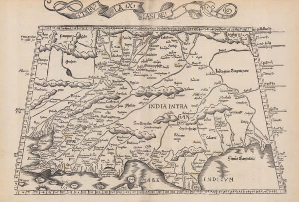
 Martin Waldseemüller & Laurent Fries, India, 1535£ 2,550.00
 -
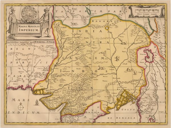
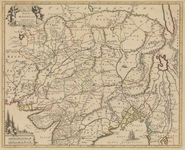
Willem & Jan Blaeu, Magni Mogolis Imperium, 1640 c.£ 1,950.00
-
Nicolas & Guillaume Sanson, L'Inde deca et dela le Gange, ou est L'Empire du Grand Mogol, 1654£ 985.00
-
Alain Manesson Mallet, Inde, 1683£ 225.00
-
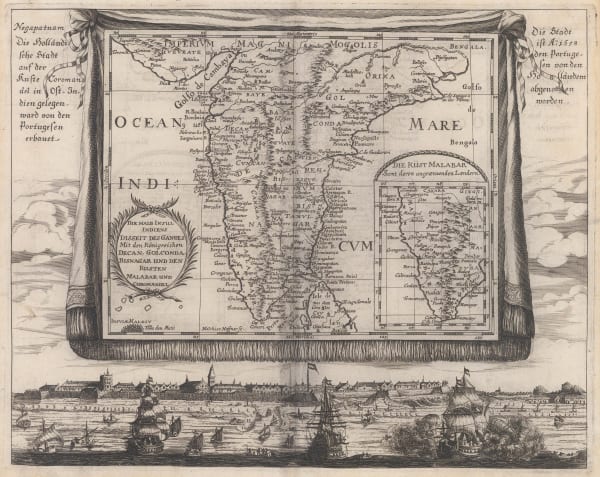
Johann Christoph Wagner, Die Halb Insul Indiens, 1685£ 975.00
-
Robert Morden, Empire de Mogul, 1688£ 245.00
-
Vincenzo Coronelli, Impero Del Gran Mogol, 1692 c.£ 1,150.00
-
Pierre Duval, The Mughal Empire, or Northern India, 1694£ 275.00
-
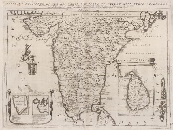
Vincenzo Coronelli, Penisola Dell' Indo Di Qua Del Gange E L'Isola di Ceilan Nell' Indie Orientali, 1696£ 995.00
-
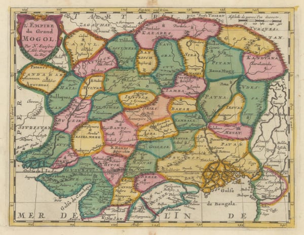
Nicolas Sanson, L'Empire du Grand Mogol, 1700£ 640.00
-
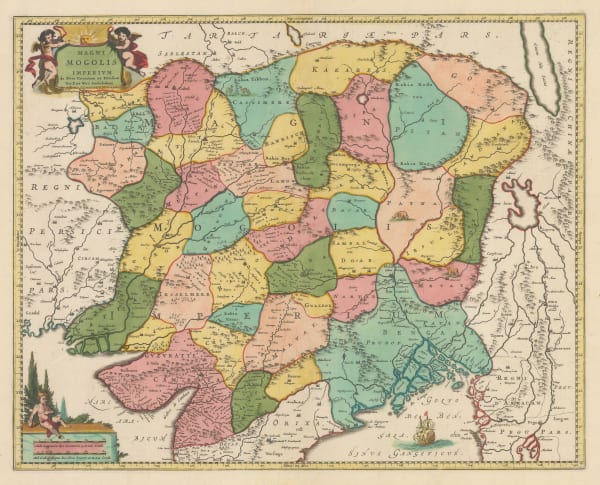
Valk & Schenk, Magni Mogolis Imperium, 1700£ 1,400.00
-
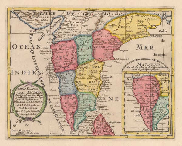
Nicolas & Guillaume Sanson, T'Half Eilandt van Indien, 1705£ 325.00
-
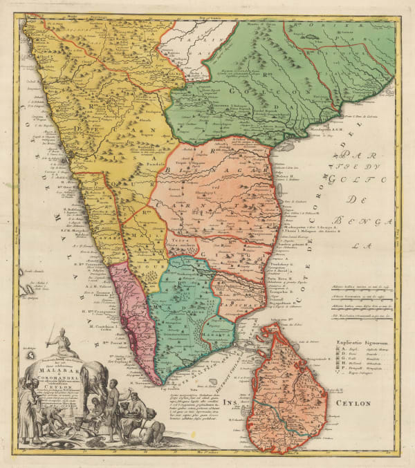
Adrien Reland, Nova Tabula Terrarum Cucan, Canara, Malabaris, Madura, & Coromandelia, 1710 c.£ 895.00
-
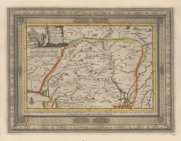
Pieter van der Aa, 'T Ryk van den Grooten Mogol, 1714£ 325.00
-
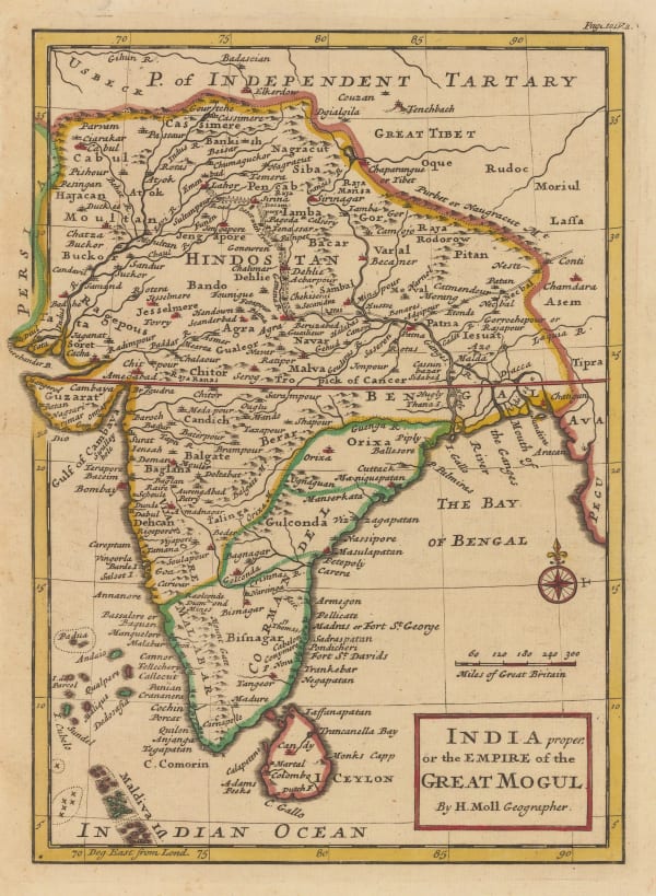
Herman Moll, India proper or the Empire of the Great Mogul, 1720 c.£ 495.00
-
Covens (Jean) & Mortier (Cornelius), Magni Mogolis Imperium, 1720 c.£ 885.00
-
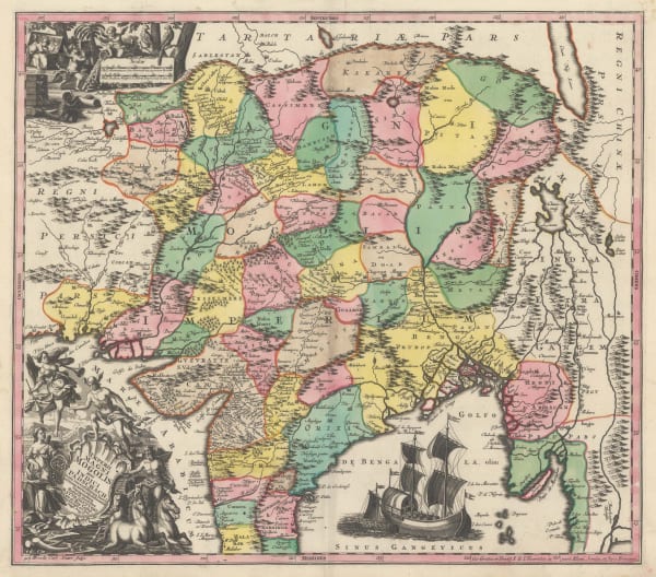
Nicolas de Fer, Les Indes Orientales, Sous les Noms d'équeles est compris L'Empire Du Grand Mogol, les Deux Presqu'iles Deca et de la Le Gange, Les Maldivs, et L'Isle de Ceylan, 1721£ 1,950.00
-
Isaac Tirion, Nieuwe Kaart vant Keyzer Ryk van den Grooten Mogol, 1730£ 595.00
-
Covens (Jean) & Mortier (Cornelius), Magni Mogolis Imperivm, 1730 c.£ 985.00
-
Homann Heirs, Malabar & Coromandel, 1733£ 765.00
-
Matthaus Seutter, Imperii Magni Mogolis sive Indici Padschah juxta recentissimas Navi gationaes accurata delineatio Geographica, 1740 c.£ 1,150.00
-
Jacques-Nicolas Bellin, Carte du Golphe de Bengale, 1747£ 245.00
-
Robert de Vaugondy, Les Indes Orientales, 1751£ 425.00
-
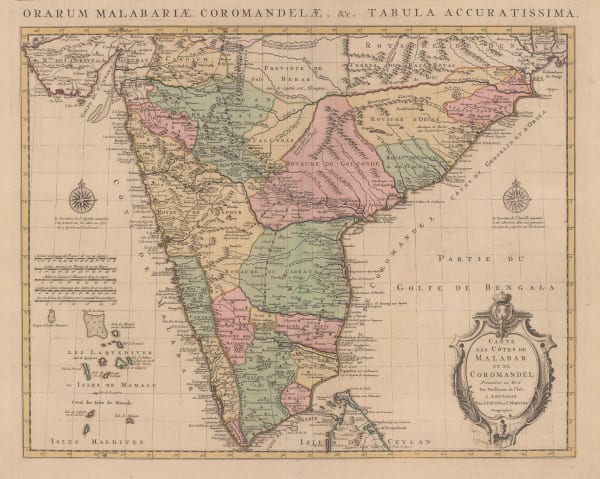
Covens (Jean) & Mortier (Cornelius), Carte des Côtes de Malabar et de Coromandel, 1757£ 795.00
-
Emanuel Bowen, A New and Accurate Map of the Empire of the Great Mogul, 1766£ 975.00
-
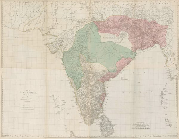
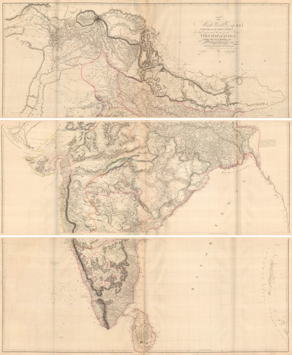
Thomas Jefferys, The East Indies with the Roads, 1768£ 2,950.00
-
London Magazine, A Map of Indostan or the Great Mogol's Empire, 1769£ 395.00
-
John Blair, The East Indies, 1773£ 485.00
-
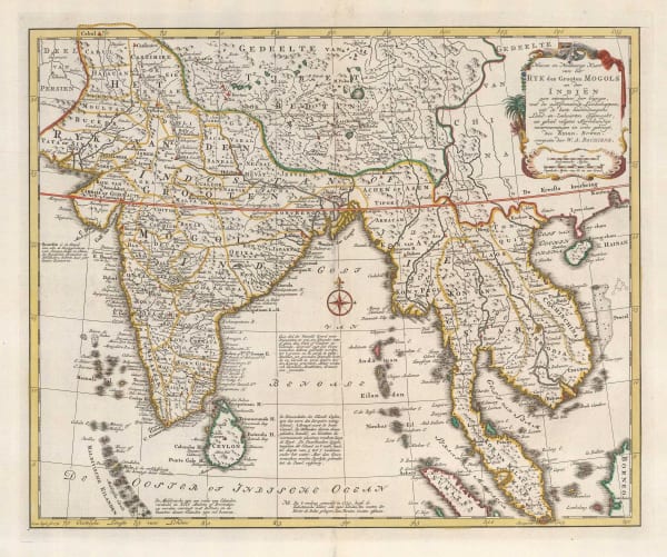
Willem Albert Bachiene, Ryk des Grooten Mogols en dier Indien, 1774£ 985.00
-
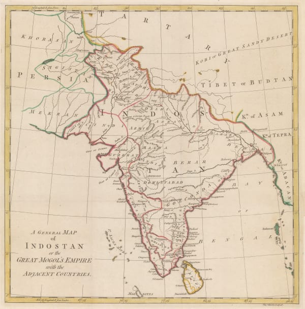
Robert Orme, A General Map of Indostan or the Great Mogol's Empire with the Adjacent Countries, 1775£ 385.00
-
Jean Lattre, India, Sri Lanka & the Maldives, 1780 c.£ 785.00
-
Thomas Jefferys, A General Map of the East Indies, 1781£ 1,450.00
-
James MacGowan, A Map of the East Indies, 1781£ 115.00
-
Antonio Zatta, Stato del Mogol, 1785£ 695.00
-
Charles Theodore Middleton, An Accurate Map of the East Indies, 1790 c.£ 325.00
-
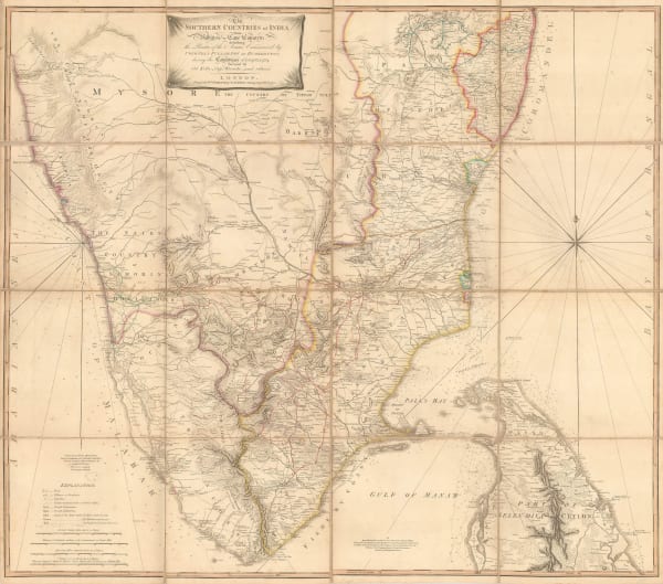
William Faden, The Southern Countries of India from Madrass to Cape Comorin, 1791£ 3,950.00
-
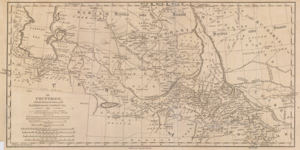
James Rennell, Afghanistan, Pakistan, India and Turkestan, 1792£ 445.00
-
John Walker, Hindoostan, or India, 1798£ 115.00
-
William Faden, The East Indies according to the General Acceptation, 1798£ 175.00
-
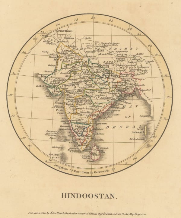
George Cooke, Hindoostan, 1800£ 325.00
-
John Walker, East Indies, 1800 c.£ 78.00
-
-
Aaron Arrowsmith, Hindoostan, 1805£ 92.00
-
John Thomson, Hindoostan, 1816£ 475.00
-
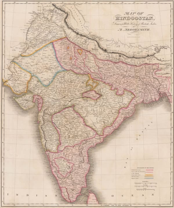
Aaron Arrowsmith, Map of Hindoostan, Drawn for Mill's History of British India, 1817£ 875.00
-
Samuel Walker, Hindoostan, 1820 c.£ 115.00
-
Charles Smith, Map of India Exhibiting its Present Political Divisions, 1835£ 695.00
-
Adrien Brue, Carte Generale des Indes, 1836£ 245.00
-
Rest Fenner, Hindoostan, 1836£ 65.00
-
Thomas Kelly, Hindoostan, 1841£ 98.00
-
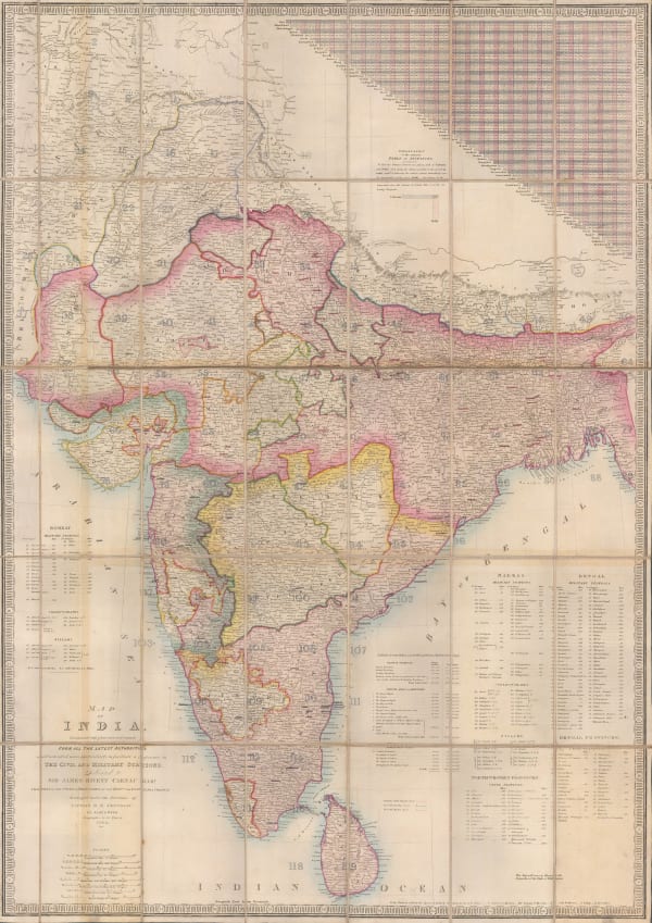
James Wyld, Map of India, 1843£ 2,250.00
-
-
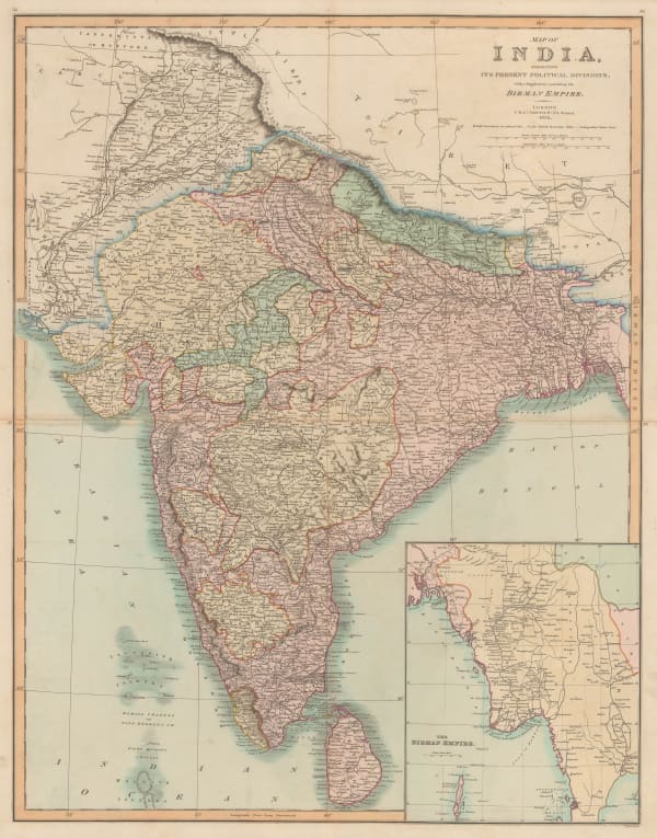
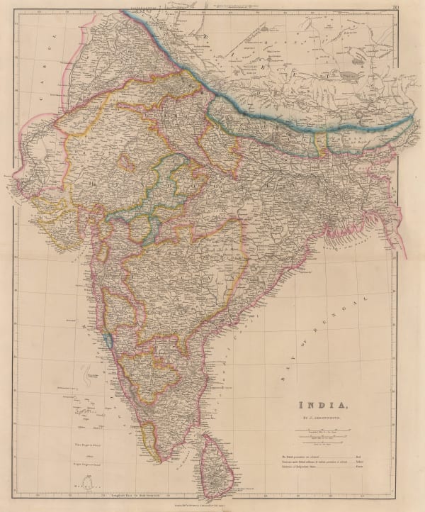
John Arrowsmith, India, 1850 (c.)£ 850.00
-
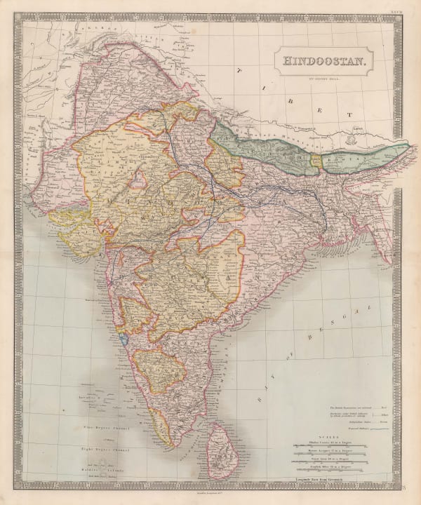
Sidney Hall, Hindoostan, 1850 c.£ 425.00
-
Samuel Augustus Mitchell, Hindoostan, 1850 c.£ 175.00
-
John Tallis, British India, 1851£ 485.00
-
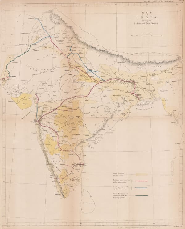
Hansard, Railway and Cotton District Map of India, 1857£ 950.00
-
Justus Perthes, Kulturkarte von Indien, 1859£ 72.00
-
-
Auguste-Henri Dufour, Indes, 1860£ 375.00
-
John Dower, India, 1860 c.£ 77.00
-
Archibald Fullarton, The British Possessions in the East Indies with Dependent States and Countries Adjacent., 1860 c.£ 395.00
-
William Butler, The Land of the Veda, 1872£ 145.00
-
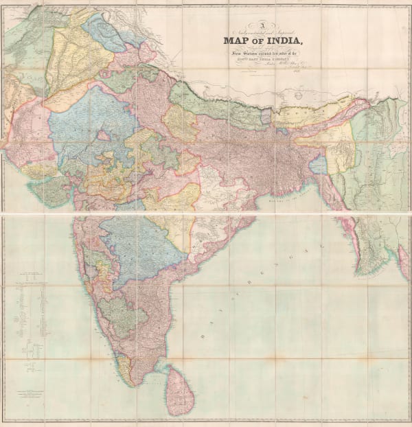
James Wyld, Road, Railway & Telegraphic Map of India, 1872 c.£ 1,550.00
-
Adrien Brue, Carte Générale Des Indes en deçá et an delá du Gange, 1876£ 250.00
-
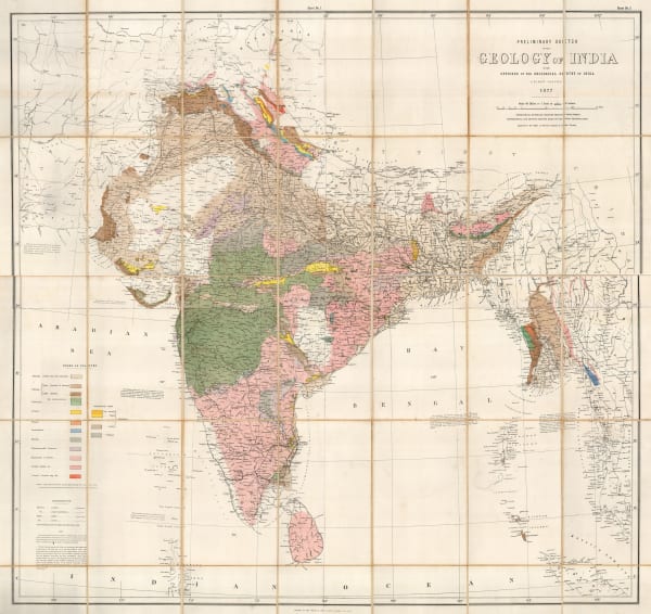
Survey of India, Preliminary Sketch of the Geology of India, 1877£ 1,750.00
-
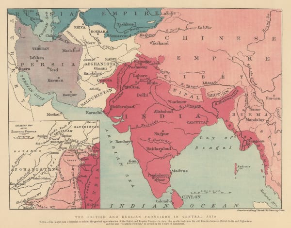
The Graphic Magazine, The British and Russian Frontiers in Central Asia, 1879£ 95.00
-
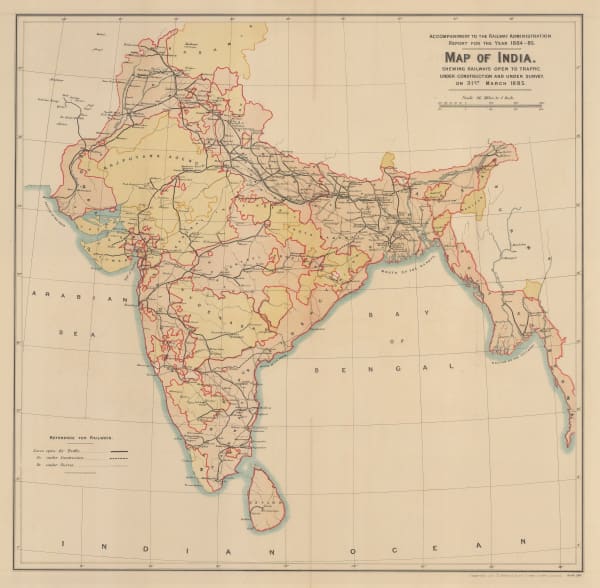
Survey of India, Map of India shewing Railways open to traffic, under construction and under survey onm 31st March 1885, 1885£ 585.00
-
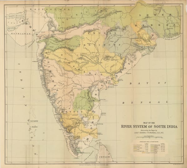
Royal Geographical Society (RGS), Map of the River Systems of South India, 1886£ 445.00
-
Scottish Geographical Society (SGS), India - Political Divisions, Physical Features, Density of Population, Ethnological, 1888£ 175.00
-
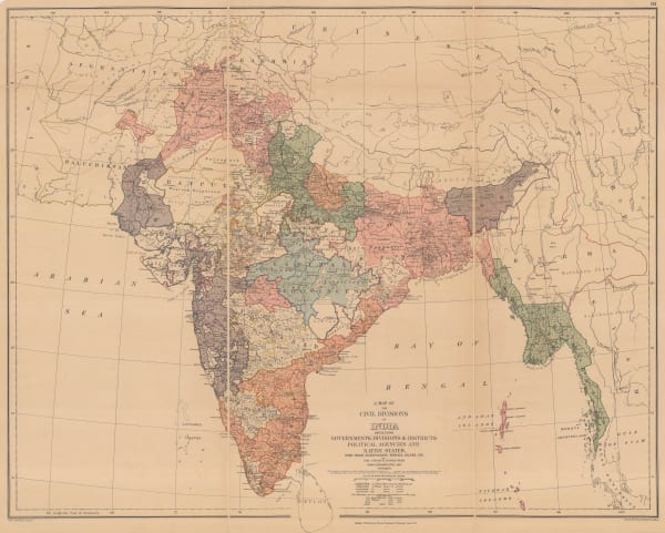
Edward Stanford, A New Map of the Civil Divisions of India, 1889£ 1,250.00
-
Arbuckle Brothers Company, India, 1889£ 145.00
-
G. & J. Bartholomew, Indian Empire, 1891£ 56.00
-
G. & J. Bartholomew, Density of Population of the Indian Empire, 1893£ 68.00
-
G. & J. Bartholomew, India Geological Features, 1893£ 88.00
-
G. & J. Bartholomew, India Prevailing Races, 1893£ 68.00
-
G. & J. Bartholomew, India Vegetable Products, 1893£ 82.00
-
G. & J. Bartholomew, India: Land Surface Elevation, 1893£ 44.00
-
G. & J. Bartholomew, India: Land Surface Features, 1893£ 44.00
-
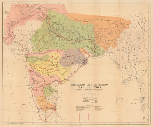
Arthur Cotton, Irrigation and Navigation Map of India, 1900£ 695.00


Page
1
of 2