-
 Robert de Vaugondy, Carte de la Californie, 1772£ 695.00
 -
Antonio Zatta, Alaska, the Pacific Northwest, and the Bering Strait, 1776£ 1,250.00
-
Jean Francois de La Perouse, Carte Generale D'Une Partie De La Cote Du Nord-Ouest De L'Amerique, 1797£ 675.00
-
Daniel Friedrich Sotzmann, Karte von einem Theil der Nordwestlichen Kuste von America, 1800£ 795.00
-
Philippe Vandermaelen, Partie de L'Oregon, 1827£ 2,450.00
-
-
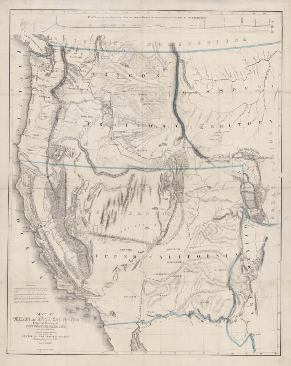
D.F. Robinson, Western Territories of the United States, 1847£ 985.00
-
-
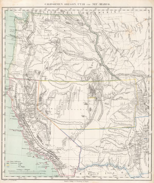
Carl Flemming, Californien, Oregon, Utah und Neu-Mejico, 1857£ 395.00
-
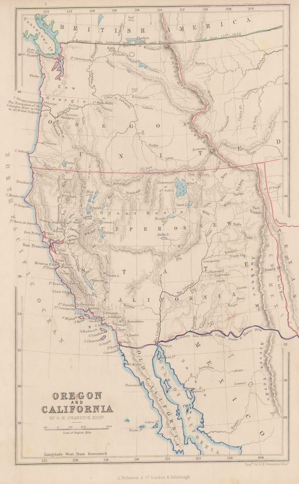
Archibald Fullarton, Oregon and California, 1860 c.£ 265.00
-
Johnson & Ward, Johnson's Oregon and Washington, 1865£ 275.00
-
French Admiralty, Carte de la Cote Occidental D'Amerique, 1881£ 825.00
-
Samuel Augustus Mitchell, County and Township Map of Oregon and Washington, 1884£ 225.00
-
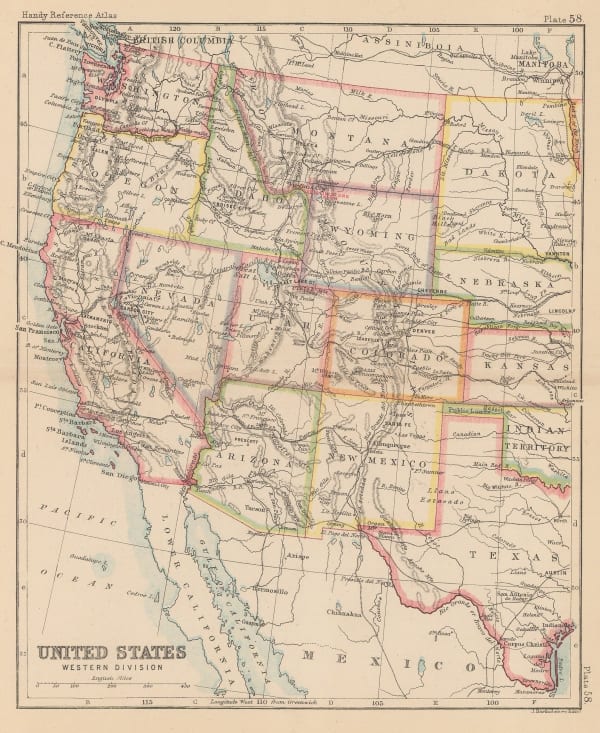
John Bartholomew, United States Western Division, 1887£ 62.00
-
G. & J. Bartholomew, Western States, 1887£ 52.00
-
Arbuckle Brothers Company, [Washington], 1889£ 185.00
-
Eugenia & Henry Goff, Railroad and County Map of Washington, 1893£ 36.00
-
George Cram, Washington, 1897£ 225.00
-
Rand, McNally & Co., Washington, 1900£ 400.00
-
British Admiralty, Sea Chart of Seattle & Tacoma, 1902£ 1,950.00
-
George Howard Plummer, Timber Map of Washington State, 1902£ 2,750.00
-
Bellingham Bay Abstract & Title Insurance Co., New Map of the Puget Sound Country, 1903£ 1,950.00
-
Rand, McNally & Co., Washington, 1903£ 445.00
-
Dodd, Mead & Co., Washington, 1906£ 95.00
-
Clason Map Co., Clason's Guide Map of Washington, 1914 c.£ 195.00
-
Tourmap Company, Seattle, 1970£ 95.00
Close
Search Inventory
Our entire inventory of over 10,000 antique and vintage maps is now available to browse by region, date, cartographer, and subject


![Arbuckle Brothers Company, [Washington], 1889](https://artlogic-res.cloudinary.com/w_600,c_limit,f_auto,fl_lossy,q_auto/artlogicstorage/themaphouse/images/view/047c89da1e0eb26d29781ab5fee22866j/themaphouse-arbuckle-brothers-company-washington-1889.jpg)


Join our mailing list
* denotes required fields
We will process the personal data you have supplied to communicate with you in accordance with our Privacy Policy. You can unsubscribe or change your preferences at any time by clicking the link in our emails.
![]()