-
 Antonio Zatta, Il Paese de Cherachesi, con la Parte Occidentali Della Carolina Settentrionale, E Della Virginia, 1779£ 685.00
 -
Joseph Purcell, A Map of the States of Virginia, North Carolina, South Carolina and Georgia, 1788£ 1,925.00
-
John Pinkerton, United States of America - Southern Part, 1809£ 1,350.00
-
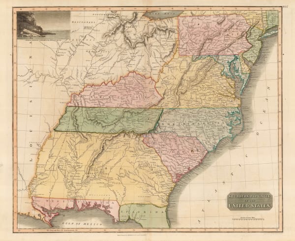
John Thomson, Southern Provinces of the United States, 1817£ 1,250.00
-
Morris Birkbeck, Map of part of the United States of North America with the Territory of Illinois on the Ohio particularly designed to illustrate Birkbeck's Journey, 1818£ 1,250.00
-
Carey & Lea, Geographical, Statistical, and Historical Map of Kentucky, 1823£ 1,250.00
-
John Cary, A New Map of Part of the United States exhibiting the North West, Michigan, Indiana, and Illinois Territory, the States of Kentucky, Ohio, Virginia, Maryland and Pennsylvania from the Latest Authorities, 1825£ 3,650.00
-
Philippe Vandermaelen, Partie des Etats-Unis. (50), 1827£ 550.00
-
I.T. Hinton, Map of the States of Kentucky and Tennessee, 1831£ 220.00
-
Samuel Augustus Mitchell, Map of the Chief Part of the Western States and Part of Virginia, 1839£ 145.00
-
Joseph Meyer, Neueate Karte von Kentucky, 1845£ 275.00
-
Samuel Augustus Mitchell, A New Map of Kentucky, 1846£ 375.00
-
George Woolworth Colton, Kentucky and Tennessee, 1855£ 125.00
-
Morse & Gaston, Kentucky and Tennessee, 1857£ 36.00
-
Samuel Augustus Mitchell, County Map of Kentucky and Tennessee, 1860£ 95.00
-
Johnson & Browning, Johnson's Kentucky and Tennessee, 1861£ 160.00
-
Johnson & Ward, Johnson's Kentucky and Tennessee, 1865£ 285.00
-
Letts & Son, Eastern United States, 1882£ 75.00
-
Samuel Augustus Mitchell, Kentucky and Tennessee, 1884£ 125.00
-
Arbuckle Brothers Company, [Kentucky], 1889£ 95.00
-
Joseph Bernard Hoeing, Preliminary Map of Kentucky, 1890£ 795.00
-
George Cram, Kentucky and Tennessee, 1897£ 185.00
-
George Cram, Kentucky Tennessee, 1897£ 195.00
-
Century Company, The Century Atlas - Kentucky, 1897£ 28.00
Close
Search Inventory
Our entire inventory of over 10,000 antique and vintage maps is now available to browse by region, date, cartographer, and subject


![Arbuckle Brothers Company, [Kentucky], 1889](https://artlogic-res.cloudinary.com/w_600,c_limit,f_auto,fl_lossy,q_auto/artlogicstorage/themaphouse/images/view/d12961894cb2a3ae523605877adf8b46j/themaphouse-arbuckle-brothers-company-kentucky-1889.jpg)


Join our mailing list
* denotes required fields
We will process the personal data you have supplied to communicate with you in accordance with our Privacy Policy. You can unsubscribe or change your preferences at any time by clicking the link in our emails.
![]()