-

-
Vincenzo Coronelli, Mare del Sud, 1690 c.£ 2,750.00
-
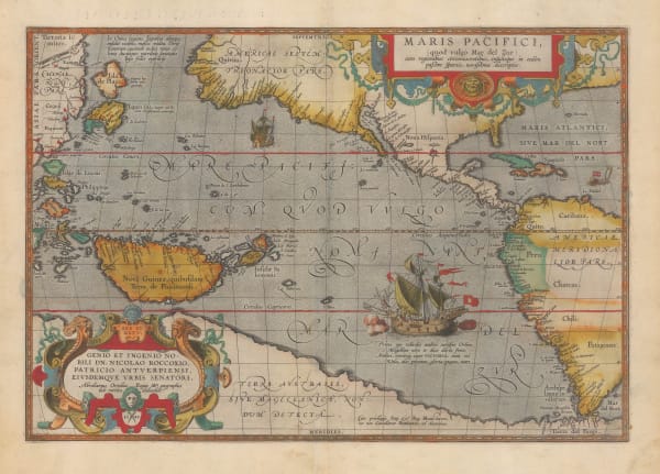
Pierre Mortier, Mer de Sud ou Pacifique, 1708£ 3,450.00
-
-
Carte Reduite Des Mers Comprises Entre L'Asie et L'Amerique, 1742Jacques-Nicolas BellinSeries: ParisJacques-Nicolas Bellin, Carte Reduite Des Mers Comprises Entre L'Asie et L'Amerique, 1742£ 3,750.00
-
Jacques-Nicolas Bellin, Russian Discoveries in Siberia, Alaska & the Bering Strait, 1750 c.£ 725.00
-
Herman Moll, The South Sea Company, 1764£ 2,850.00
-
Johann Heinrich Heidegger, Carte Generale des Decouvertes de L'Amiral de Fonte, 1770 c.£ 795.00
-
Robert de Vaugondy, Discoveries in the North Pacific according to a Japanese World Map, 1772£ 695.00
-
Robert de Vaugondy, Carte Générale des Découvertes de L'Amiral de Fonte representant la grande probabilité d'un Passage au Nord Ouest, 1772£ 795.00
-
Robert Sayer, Russian Discoveries in Siberia, Alaska & the Bering Strait, 1775£ 1,325.00
-
Antonio Zatta, Alaska, the Pacific Northwest, and the Bering Strait, 1776£ 1,250.00
-
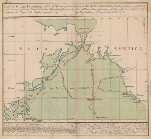
Tobias Conrad Lotter, James Cook's Voyage to the North Pacific & Bering Strait, 1781£ 2,750.00
-
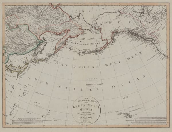
Gerhard Friedrich Muller, Russian Discoveries in Siberia, Alaska & the Bering Strait, 1784£ 1,200.00
-
Emanuel Bowen, A New & Accurate Chart of the Discoveries made by the late Capt. Js. Cook, 1790 c.£ 895.00
-
John Meares, The North Pacific Ocean, 1795 c.£ 675.00
-
Jean Francois de La Perouse, Partie de la Mer du Sud Comprise Entre les Philipinnes et la Californie, 1797£ 430.00
-
Count Jean-Francois de la Perouse, Carte de Cotes de L'Amerique et de L'Asie depuis la Californie jusqu'a Macao, 1797£ 750.00
-
Daniel Friedrich Sotzmann, Karte von einem Theil der Nordwestlichen Kuste von America, 1800£ 795.00
-
Cadell & Davies, Alaska, Kamchatka & the Bering Strait, 1802£ 295.00
-
Christian Gottlieb Reichard, Chart of the North Pacific Ocean, 1804£ 785.00
-
William Faden, James Cook's Voyage to Alaska & the Bering Strait, 1808£ 2,850.00
-
-
John Thomson, Southern Hemisphere, 1814£ 675.00
-
John Thomson, Chart of the Northern Passage between Asia & America, 1816£ 525.00
-
John Thomson, Map of the Islands in the Pacific Ocean, 1817£ 445.00
-
Jean Francois de La Perouse, Carte Reduite du Grand Ocean, 1818£ 725.00
-
Carl Weiland, Australien, 1830£ 875.00
-
Thomas Starling, South Sea Islands, 1830 c.£ 115.00
-
W. & A.K. Johnston, Islands in the Pacific Ocean, 1840 c.£ 80.00
-
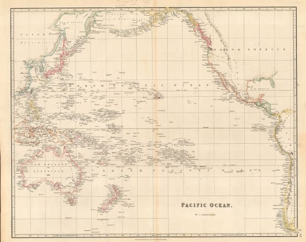
John Arrowsmith, Pacific Ocean, 1842£ 185.00
-
Joseph Meyer, Neuste Karte von Australien, 1846£ 165.00
-
Samuel Augustus Mitchell, Oceana or Pacific Ocean, 1846£ 225.00
-
Joseph Meyer, Der Grosse Ocean und Australien, 1849£ 120.00
-
Justus Perthes, Ost-Polynesien, 1849£ 88.00
-
Gall & Inglis, Map of Islands in the Pacific Ocean, 1850 c.£ 88.00
-
James Wyld, The Basin of the Pacific, 1850 c.£ 875.00
-
George Philip & Son Ltd., Alaska, Kamchatka & the Bering Strait, 1853£ 575.00
-
Charles V. Monin, Oceanie, 1853£ 125.00
-
George Philip, Islands in the Pacific Ocean, 1856£ 250.00
-
F.A. Garnier, Oceanie, 1860£ 225.00
-
Victor Levasseur, Océanie, 1860 c.£ 275.00
-
Justus Perthes, Edbeben-Fluth im Pacifischen Ocean, 13-16 August 1868, 1869£ 65.00
-
Justus Perthes, Die Inneln des Grossen Oceans, 1870£ 50.00
-
Archibald Fullarton, Oceania and Pacific Ocean, 1870 c.£ 115.00
-
John Dower, Pacific Ocean, 1871£ 80.00
-
Adrien Brue, Carte Generale de L'Oceanie, 1876£ 145.00
-
G. & J. Bartholomew, Oceania, 1887£ 38.00
-
Scottish Geographical Society (SGS), Coral Reefs in the Pacific Ocean, 1888£ 195.00
-
Justus Perthes, Grosser Ocean, 1895£ 38.00
-
George Philip & Son Ltd., Pacific Ocean: Cables & Ocean Depths, 1910 c.£ 68.00
-
US Navy Educational Services Section, Nav War Map No. 5 - Southwest Pacific, 1944£ 3,000.00
-
British Admiralty, Steamship Routes Pacific Ocean, 1951£ 575.00
-
Franklin Scott, World War II: Pacific Area, 1954£ 445.00
Close
Search Inventory
Our entire inventory of over 10,000 antique and vintage maps is now available to browse by region, date, cartographer, and subject


Join our mailing list
* denotes required fields
We will process the personal data you have supplied to communicate with you in accordance with our Privacy Policy. You can unsubscribe or change your preferences at any time by clicking the link in our emails.
![]()