John & Carington Bowles
A Map of Europe, 1770
19 ½ x 23 in
50 x 58 cm
50 x 58 cm
A Map of Europe divided into its Empires, Kingdoms, &c. Large and detailed map of Europe showing the political divisions of the mid-18th century. A table in the lower-right...
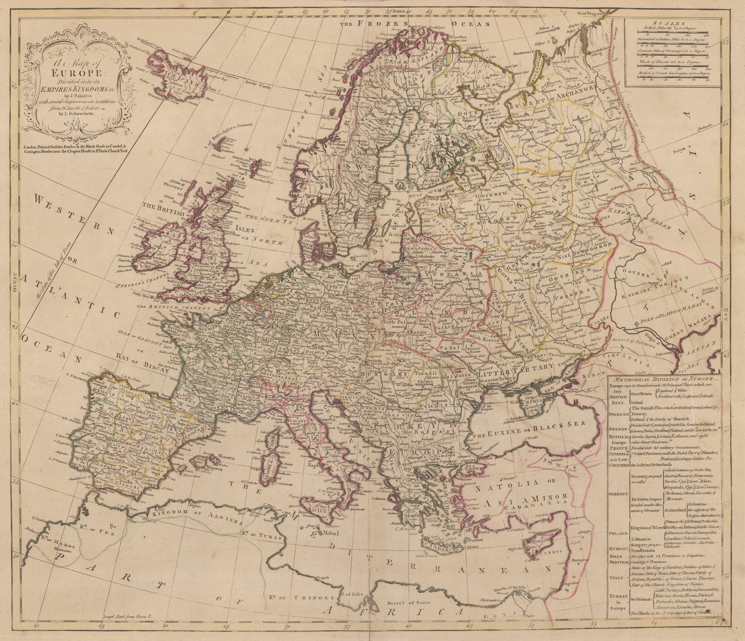
A Map of Europe divided into its Empires, Kingdoms, &c.
Large and detailed map of Europe showing the political divisions of the mid-18th century. A table in the lower-right corner explains the divisions. Original hand-colour. [EUR1486]
Large and detailed map of Europe showing the political divisions of the mid-18th century. A table in the lower-right corner explains the divisions. Original hand-colour. [EUR1486]
1
of
13