


Edouard Beck
28 x 43 cm
Further images
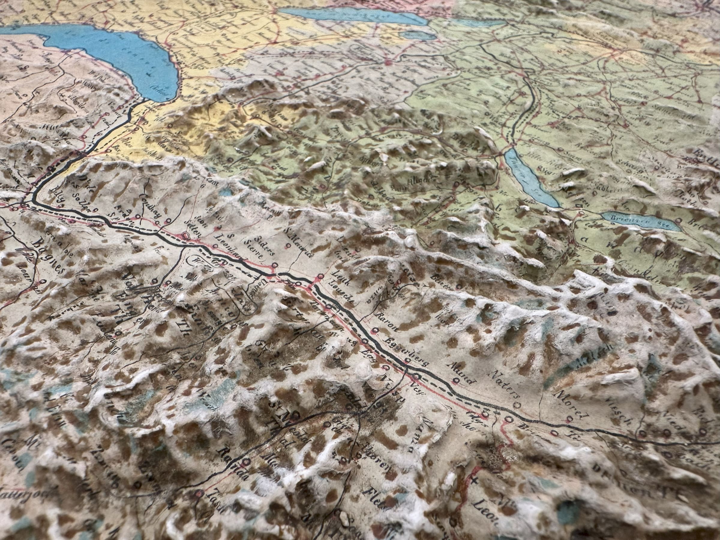
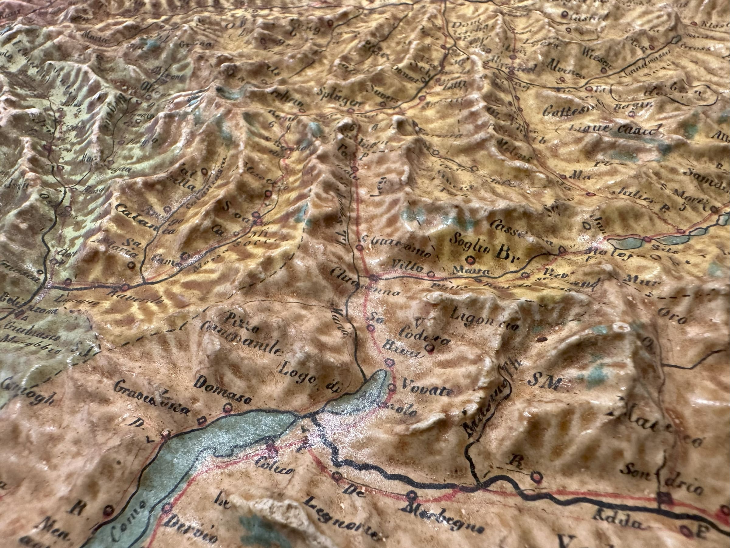
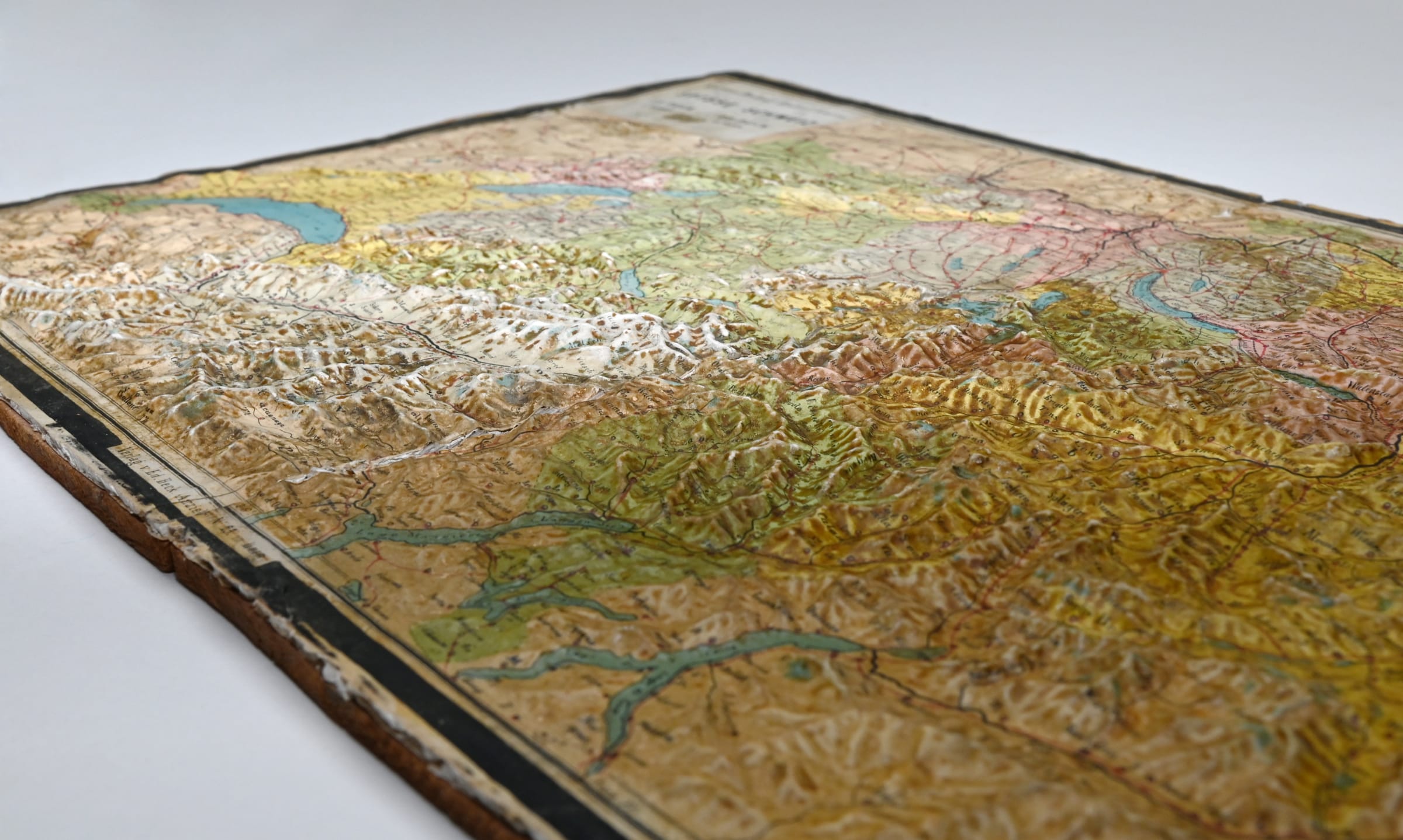
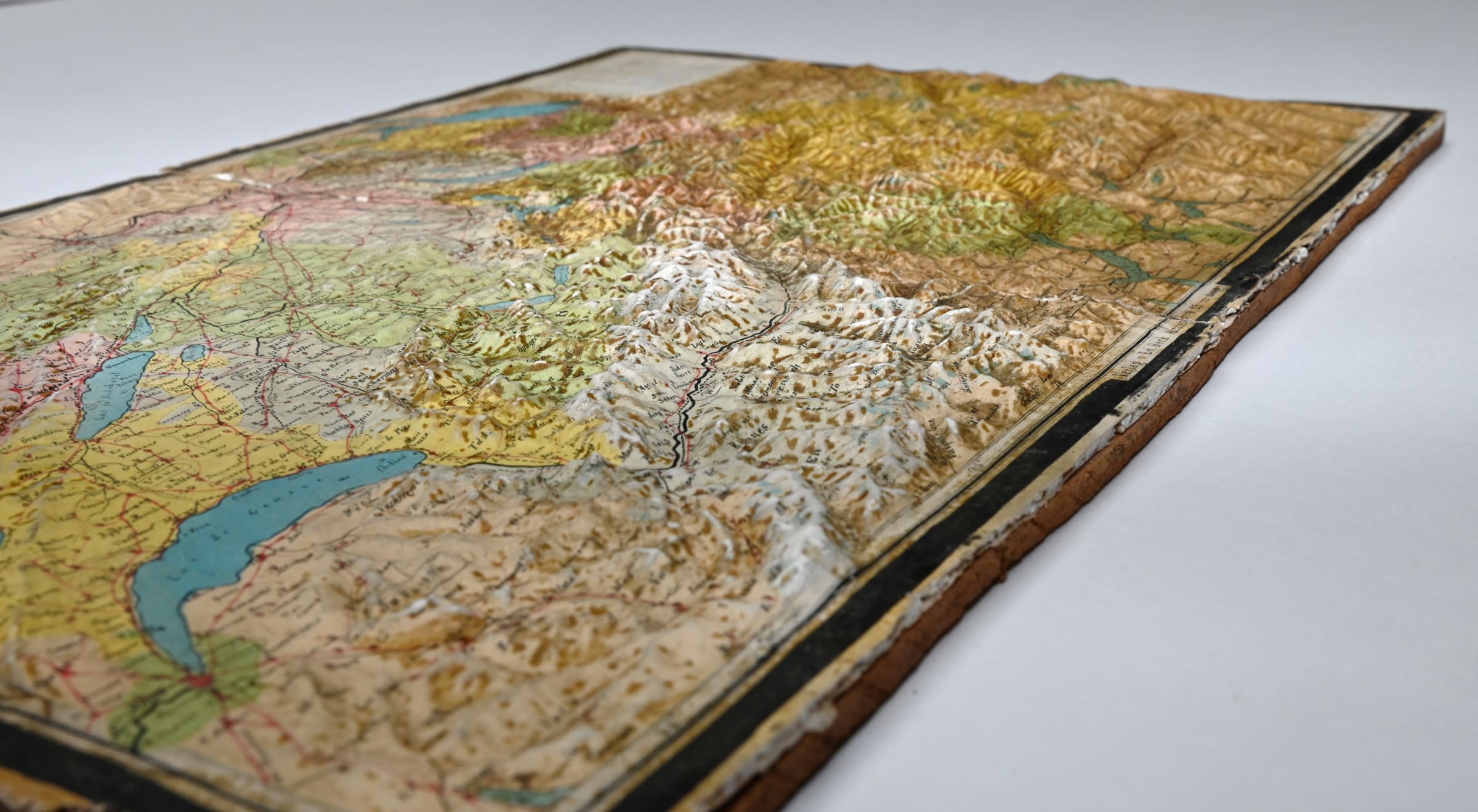
Colourful relief map of Switzerland by Edouard Beck (1820-1895), published in Bern in 1874. The map depicts the entirety of Switzerland and the Swiss Alps in attractive three-dimensional relief. The topography of this map is representative of the uniquely chromatic style of 19th century Swiss-style reliefs, which combines contour lines, cliff drawing, relief shading and vivid colours.
The publisher, Edouard Beck began developing a style known as 'geoplastics' starting in the 1850s. The map is produced by overlaying a lithographed map on a plaster relief model. The split down the centre of the map is part of the map's original design - it was originally housed in a hinged frame which closed like a book to protect the delicate map.
The map features a key in the upper-right corner, identifying landmarks in both French and German. The key identifies civil landmarks in the right-hand column, such as villages and chateaus, whilst the left-hand column generally identifies natural landmarks, such as glaciers and caverns.
Printed colour. [SWAS1545]