James Wyld
35 x 52 cm
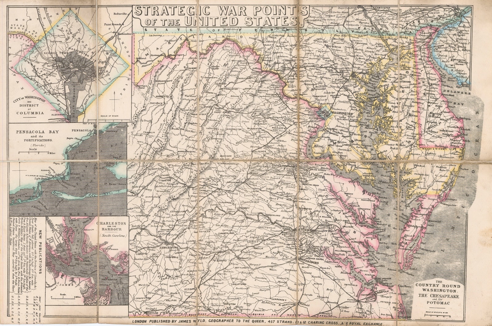
A US Civil War-era folding map showing the primary battlefields in the early days of the war. These include Charleston Harbour, Pensacola, Virginia, Maryland, and the region surrounding Washington, D.C.
The map's crude lithography is typical of James Wyld's current events maps, which sought to satisfy the London public's interest in the latest global news stories. Though undated, it is likely that this map was published within a month or two of the start of the war, hence the prominence given to Fort Sumter and Pensacola, two of the first engagements between the Union and the Confederacy.
Ever the businessman, Wyld also includes a list of four other newly published maps of the United States which might also have been relevant to customers interested in the US Civil War. These lithographic current event maps were rarely published in large numbers as they were only commercial until the public's interest shifted. As such, they are often quite rare. This map exists in several institutions, but is uncommon on the open market.
Original colour. [USA9587]


