Capt. James Cook
30 x 30 cm
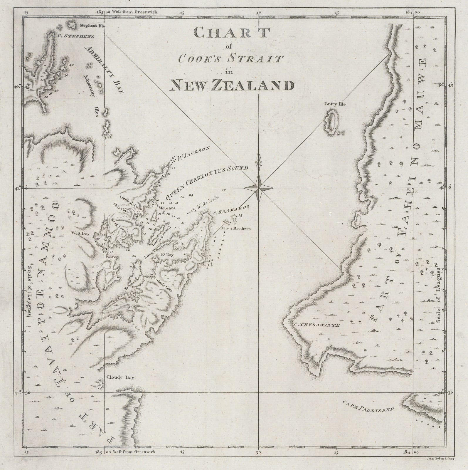
First edition of Cook’s remarkable chart of the Straits which separate the North and South Islands of New Zealand and which shortly after were named in his honour. It is the first map of any accuracy charting the two local coastlines.
The map was included in “An Account of the Voyages Undertaken by the Order of his Present Majesty for making Discoveries in the Southern Hemisphere” edited by John Hawkesworth. Although Cook was the main subject of the work, it did include voyages by other luminaries, such as Philip Carteret and John Byron.
Cook’s map of the Strait was part of a series of maps charting the newly discovered coastlines of the two islands and hence are a fundamental map for any collection of both New Zealand and Pacific island maps.
Published by Strahan and Cadell.
[AUNZ2952]


