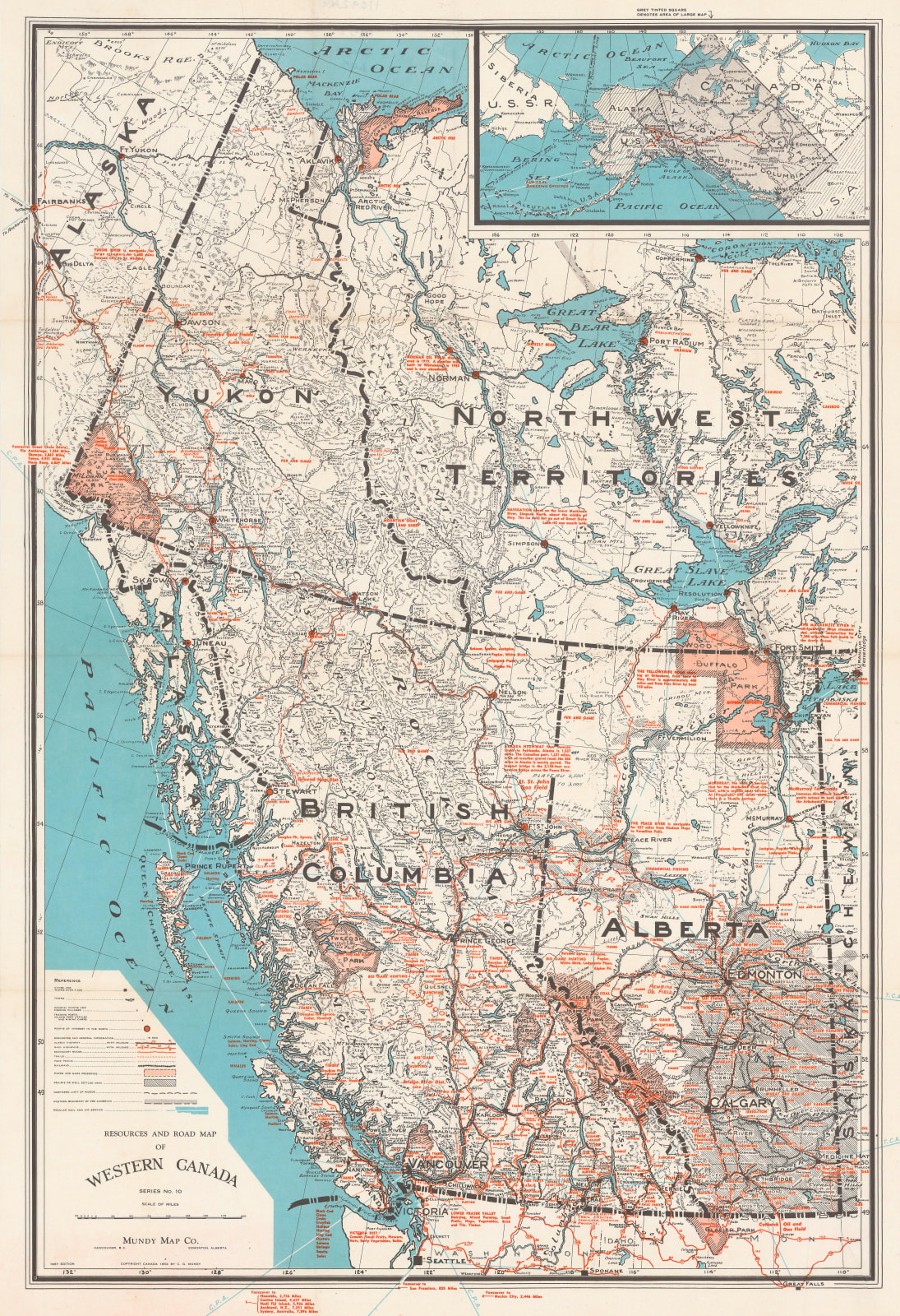
Mundy Map Co.
80 x 54 cm
A vintage folding map of Western Canada, including British Columbia, Alberta, Yukon, and the Northwest Territories. Resources and industries are noted in red. National parks, points of interest, railroads, highways, and air service routes are also marked on the map. Printed colour.
[CAN3052]


