Ente Nazionale Industrie Turistiche (ENIT)
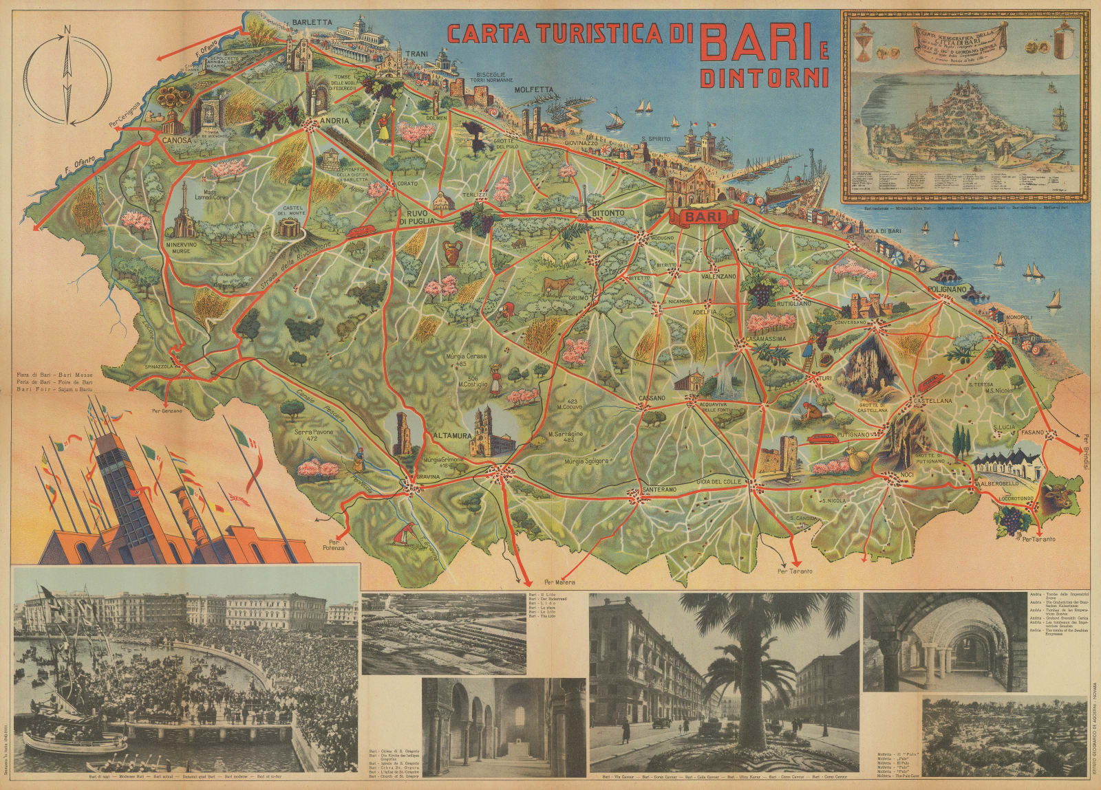
49 x 67 cm
The descriptive text on the back of the map is printed in six languages, suggesting that this map was aimed at both international and domestic tourists. A brief history of the region is given from Roman times to the 'modern' era, culminating in a few lines of Fascist propaganda about how the city had flourished during the 20 years of Mussolini's rule. The map is also dated using both the standard Gregorian calendar (1940) and the Italian Fascist calendar (year XVIII), adopted in 1927.
Printed colour. [IT3528]


