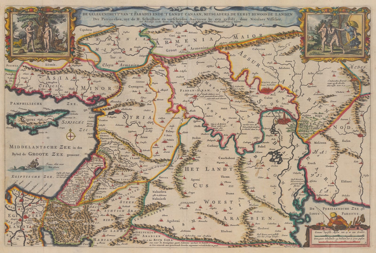
Nicolas Visscher
30 x 46 cm
The map is derived from Visscher’s map of approximately fifty years earlier and published within a Bible by the Keur family.
In the mid 17th century, Nicholas Visscher introduced the concept of binding a series of maps within Bibles to help illustrate the geographical panorama of the Biblical world. This series of maps varied from the editions of the Bible but usually included a plan of Jerusalem, a series of maps of the Holy Land focusing on specific Biblical epochs, a map showing Paradise and one “modern” double hemisphere map. This concept proved extremely popular and Visscher soon gained several imitators, including the Keur family, who had a long association with the publishing of Bibles.
This map stretches from modern day Cyprus to Iran by way of Turkey, Iraq, Egypt and the northern Gulf. Numerous Biblical references are dotted on the map, including Babel, Niniveh, Antioch, Canaan and Egypt among several others. The mythical region of Paradise is located a short distance east of Babel. Two large vignettes illustrate the Temptation of Adam and Eve on the left and the Expulsion from Paradise on the right.
Coloured. [MEAST4563]


