Alexandre Vuillemin
Paris showing the Thiers Wall, 1869
8 x 9 in
20 x 23 cm
20 x 23 cm
FR3642
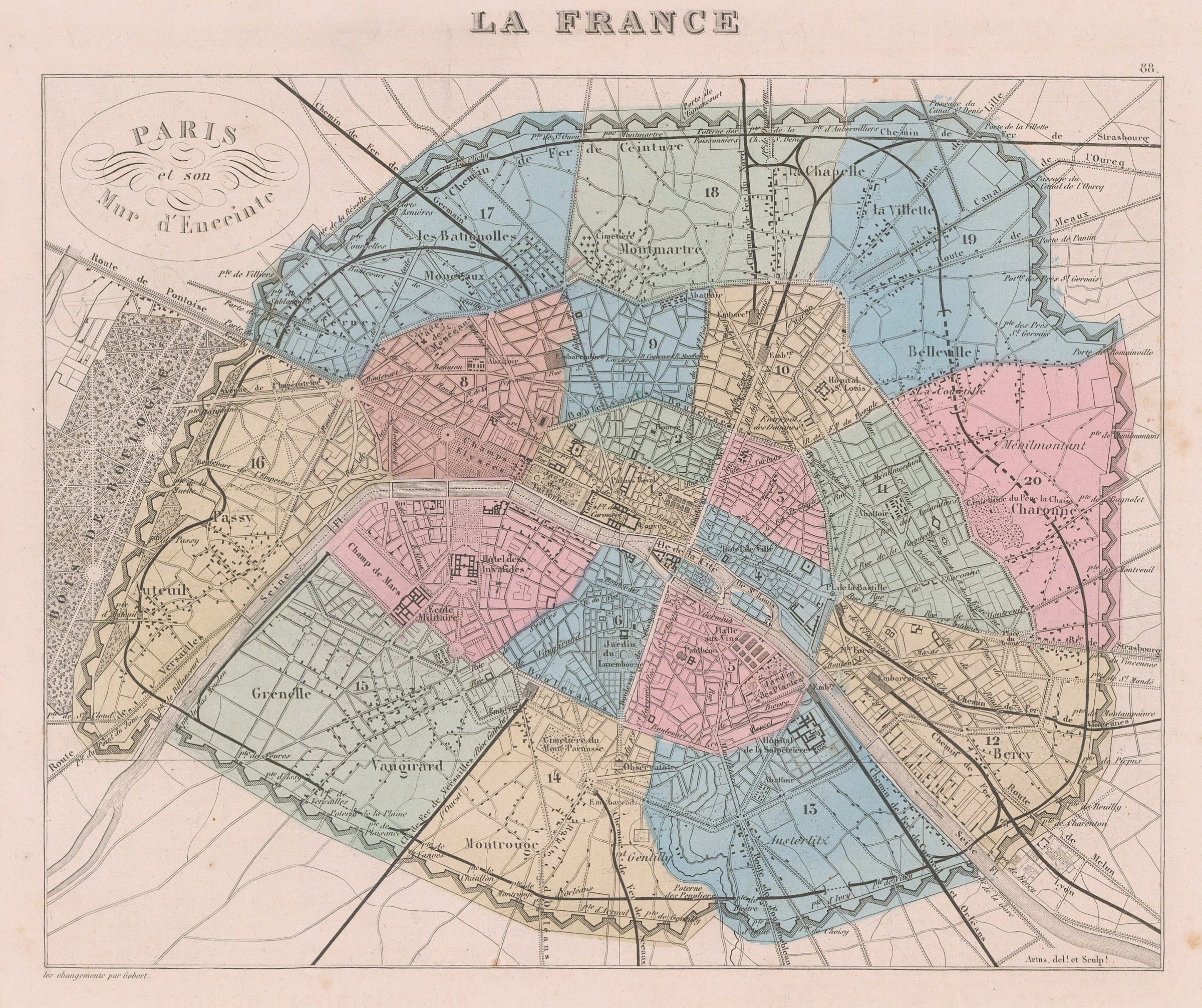
Paris et son Mur d'Enceinte Plan of Paris showing the line of the Thiers Wall, the city's last defensive walls, constructed between 1841 and1846. This map was published shortly...
Paris et son Mur d'Enceinte
Plan of Paris showing the line of the Thiers Wall, the city's last defensive walls, constructed between 1841 and1846. This map was published shortly before the Franco-Prussian War, during which the city was besieged and the walls heavily bombarded. Colour is used to differentiate the city's 20 arrondissements. Dark black lines mark the railways.
Printed colour. Framed. [FR3642]