John Chapman & Peter André
226 x 296 cm
Further images
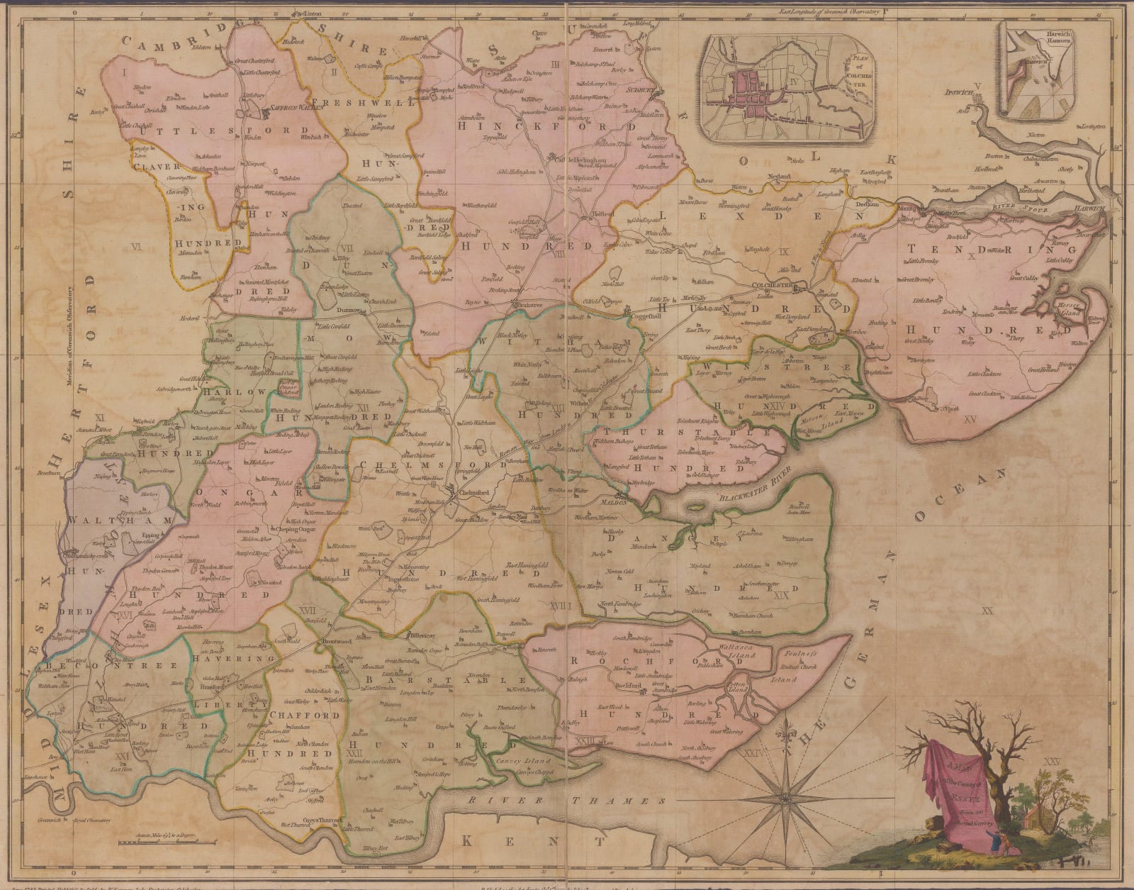
Chapman and Andre were both experienced surveyors. Chapman had worked for Mary Ann Rocque, widow of John Rocque who was probably the greatest of all the early pioneers specializing in English large scale maps. Chapman is recorded as having worked on large scale maps of Durham, Staffordshire and Nottinghamshire. Andre was not known to have such illustrious connections but he is recorded as having worked on a large scale map of Surrey.
As stated on the map, their survey was performed between 1772-4 and they used the unusual scale of two miles to the inch. This allowed them to include extraordinary detail. The main publishing format was as a set of twenty-six sheets, which the buyer could also have coloured at extra cost. A further cost could also offer a binding service for the set of sheets. An option of laying the map on linen and then segmenting must have also been offered hence the present example.
The project garnered considerable interest, hence the long list of subscribers on the right. Indeed, it even attracted Royal patronage as pride of place is taken by the Dukes of Cumberland and Gloucester, both Royal Princes. According to the list, they each purchased two sets. Unlike many similar projects, this one must have been extremely successful as several editions of the map have been recorded. The first in 1777 was followed by a second edition in 1785 with another in 1833.
The example offered here has been laid down on linen segmented and then separated into three vertical sections. It has been beautifully coloured at time of publishing, a process which must have been commissioned specifically.
Original colour. [ESSEX1289]


