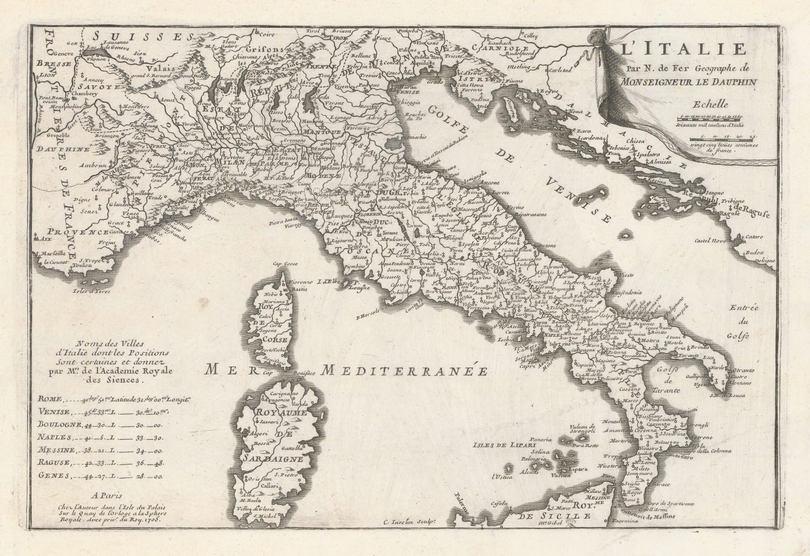
Nicolas de Fer
23 x 35 cm
De Fer (1646-1720) was the son of a prominent engraver and produced his first map in 1669. He joined his father's business in 1673 and ultimately took over in 1687. He was a prolific map maker who produced over six hundred separate maps in multiple forms; as separate issues, bound within history and travel books, and as atlases. In the late 17th century he was made Geographer to the Dauphin.
Like many of de Fer's maps, it bears a close resemblance to Sanson's earlier map of Italy, although the latitude and longitude co-ordinates for major Italian cities is a new development by de Fer. [IT3564]


