Royal Geographical Society (RGS)
61 x 64 cm
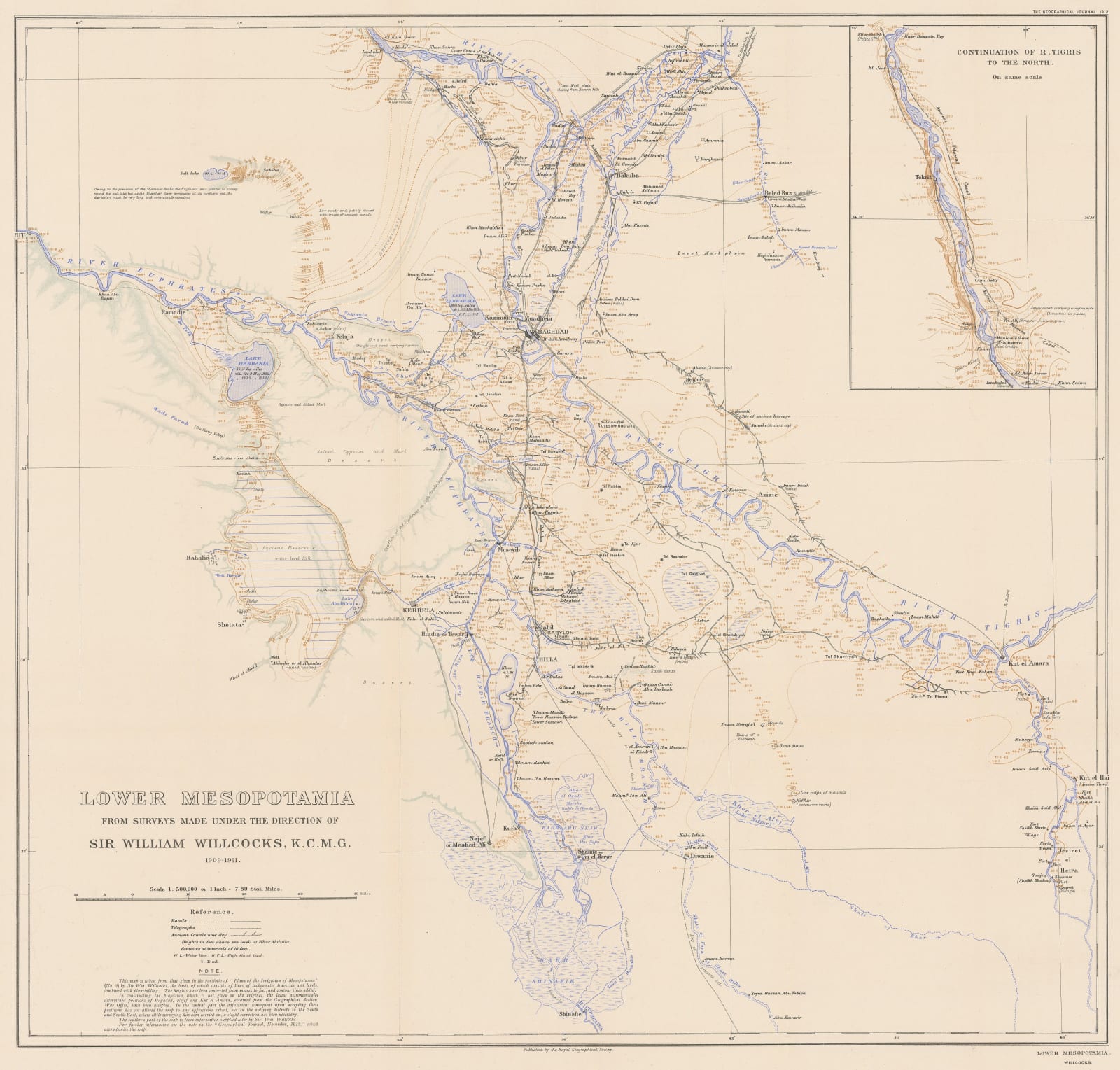
The survey was conducted under the direction of Sir William Willcocks, a British irrigation engineer who built the Aswan Dam in Egypt and later became the head of irrigation for the Ottoman Empire. The results of his preliminary work produced some of the earliest scientifically accurate maps of Lower Mesopotamia. They were used extensively during World War I.
Roads, rivers, and ancient canals are marked, as are the areas prone to flooding along the Tigris and the Euphrates. A smaller inset map shows the course of the River Tigris north to Tikrit.
Printed colour. [MEAST4577]


