Francois Santini
49 x 62 cm
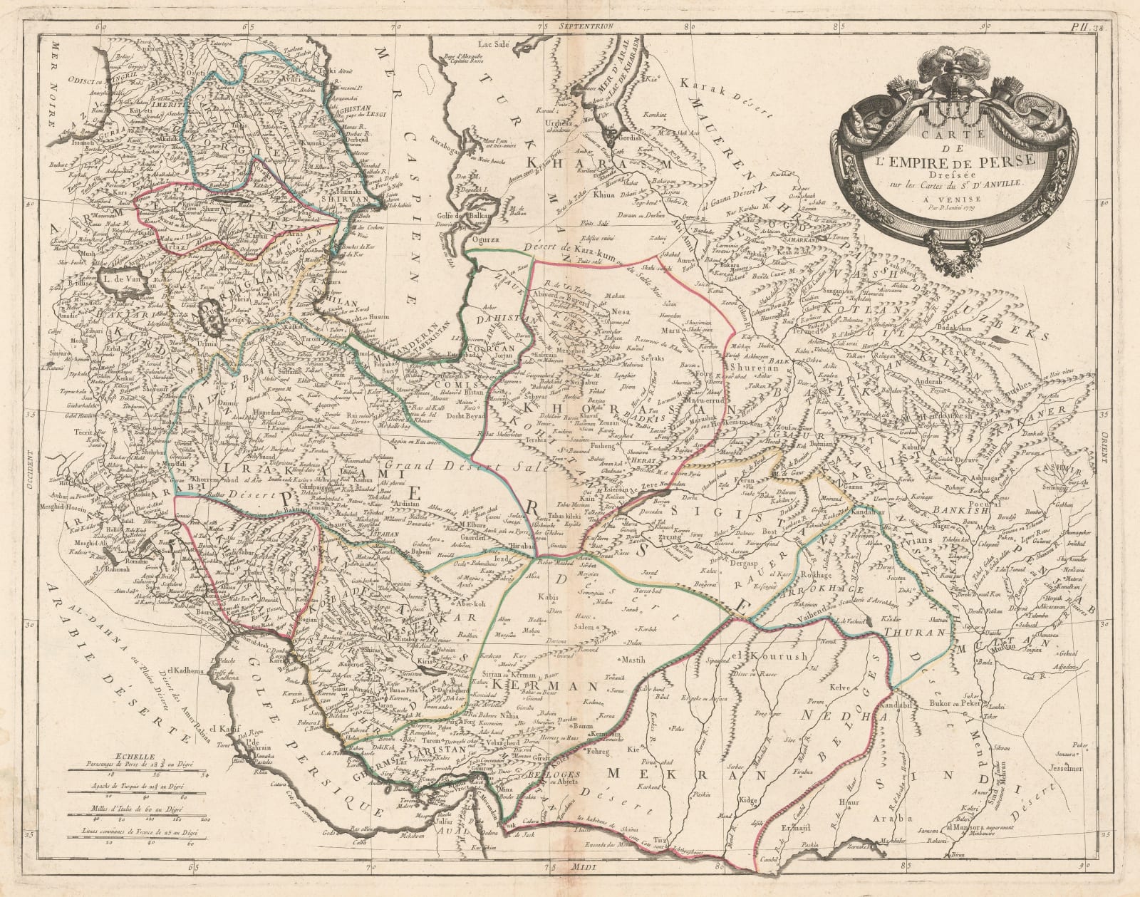
Large map of the Persian Empire (modern-day Iran) with provincial divisions marked and an ornate title cartouche. Based on d'Anville, one of the leading scientific mapmakers of the period.
This map would have been one of the most detailed maps of Persia available to Europeans in the late-18th century.
Original hand-colour. [MEAST4578]


