
Harry Beck
Unpublished Annotated Proof of 1940 Edition, 1939
7 ½ x 12 in
19 x 31 cm
19 x 31 cm
LDN6954
This one-of-a-kind annotated proof for an unpublished 1940 Tube map pamphlet shows Harry Beck, grappling with the question of how to reduce his wall map to pamphlet size whilst keeping...
This one-of-a-kind annotated proof for an unpublished 1940 Tube map pamphlet shows Harry Beck, grappling with the question of how to reduce his wall map to pamphlet size whilst keeping the diagram as legible as possible. From 1938 to 1941, London Transport had employed another artist, Hans Schleger, to design their folding pamphlet maps, much to Harry Beck's chagrin. Whilst Beck's maps continued to be displayed on the walls in stations, he felt that control of the schematic Tube map diagram should be his and his alone. This proof appears to be an attempt to reassert himself as the lead designer of the pamphlet map.
The underlying map is a direct copy of Harry Beck's 1940 poster which was published and displayed across London. This sketch proposes cropping the lower section of the poster map entirely along with the far western edge. This would have meant losing all of the stations south of Stockwell on the Northern Line and those south of East Putney on the District Line, as well as the western ends of the Piccadilly, District and Metropolitan lines. Text boxes would be inserted to reassure the reader that these lines continued to Aylesbury, Hounslow West, Uxbridge, Wimbledon, and Morden. Though this might sound like a radical departure from earlier Tube Map designs, it is worth remembering that one of the great innovations of Harry Beck's 1933 diagram compared to Fred Stingemore's earlier geographical maps was the cropping of the western end of the Metropolitan Line and the eastern end of the District Line to reduce the map's sprawl.
In order to facilitate the loss of the lower section, Beck also suggested moving the Underground logo back to the bottom-right corner where he had always placed it on pamphlet maps dating back to 1933. Schleger's maps had removed the logo altogether, something which Beck clearly felt needed correcting. The legend explaining the colours of the lines would be squeezed into a small gap below the Thames and west of the Northern Line. Beck has circled two problem areas which he felt were in need of improvement: a section of the district line between Aldgate and Whitechapel, and a section of the Metropolitan/Bakerloo Lines between Finchley Road and Wembley Park. The first of these sections is just too cramped and confused with Liverpool Street, Aldgate, Aldgate East, Bethnal Green, and Whitechapel all jostling for space. The second section represents a long-time irritant for Harry Beck - the insistence of his bosses in the Publicity Department that stations which appeared on two lines must have their name printed twice even though this just created clutter.
Despite Beck's efforts, his pamphlet map design was not adopted in 1940, largely due to circumstances entirely outside of his control. Wartime austerity measures forced London Transport to reduce the colour on their maps, resulting in three monochrome editions of Schleger's design printed entirely in brown ink with only the Thames and mainline station icons printed in blue.
Ultimately, printed colour, and along with it Beck's pamphlet map, did make a return by July 1941 as wartime measures eased slightly, though no Tube maps were printed in 1942 or 1944, suggesting that some restrictions did still apply. Beck's 1941 map shows none of the changes marked on this map, the only addition being a note that Aldwych Station was closed until further notice (it had been repurposed by Westminster Council as an air raid shelter for the duration of the war).
This rare and fascinating proof copy not only shows how much thought Harry Beck devoted to improving his design, but also how much difficulty he often faced in gaining approval for his proposals. Beck's willingness to compromise and mould his design to suit the whims of his superiors, despite his own misgivings, allowed him to retain sole control of the design until his sudden ouster in 1960.
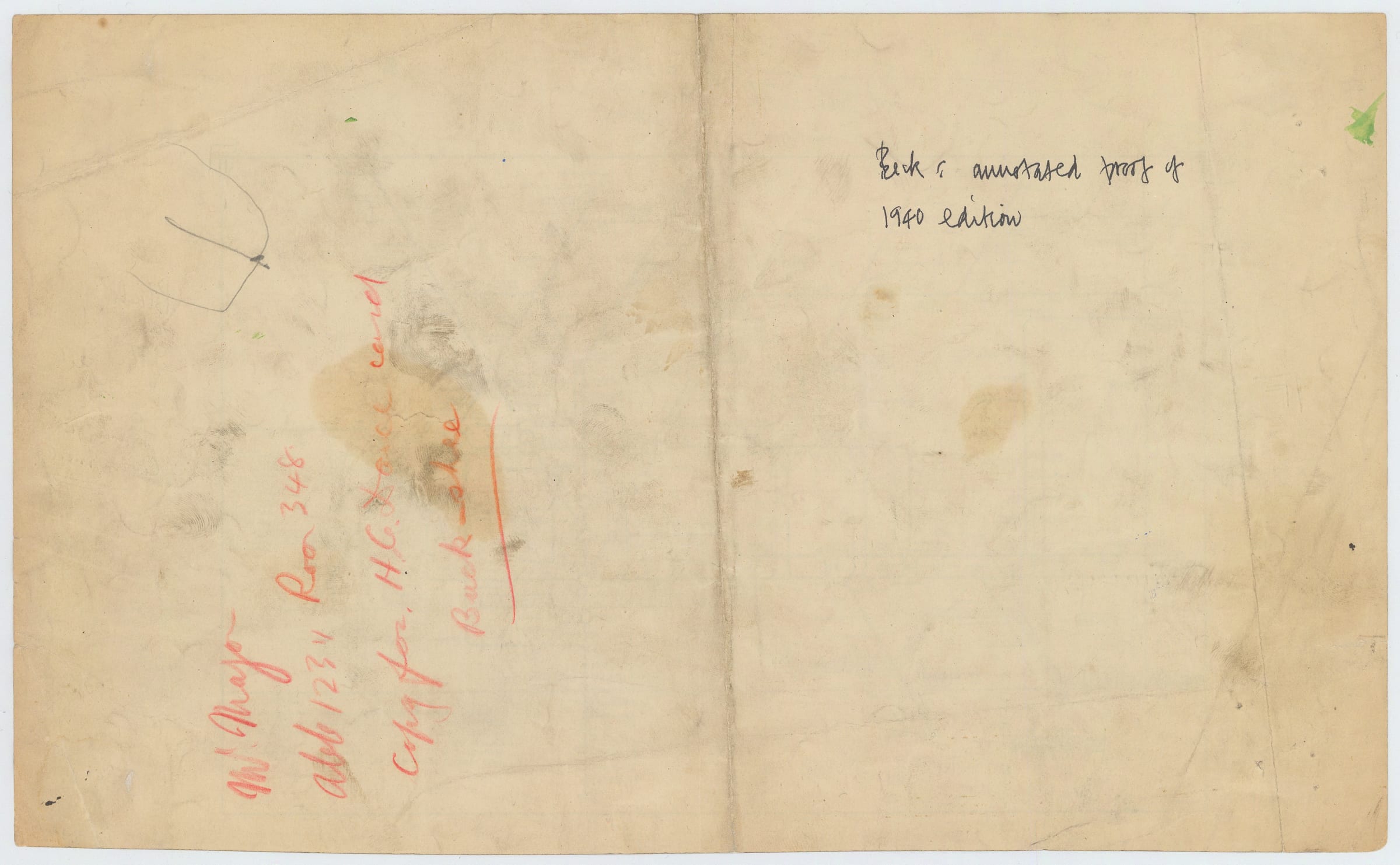
Only a handful of annotated Beck manuscripts survive, the majority of which are in the London Transport Museum's collection. This map was acquired by Harry Beck's friend and biographer, the graphic designer Ken Garland, directly from Beck himself. A hand-written note on the back of the map in Garland's hand names this as "Beck's annotated proof of 1940 edition".
Provenance: Ken Garland's personal collection given to him by Harry Beck
The underlying map is a direct copy of Harry Beck's 1940 poster which was published and displayed across London. This sketch proposes cropping the lower section of the poster map entirely along with the far western edge. This would have meant losing all of the stations south of Stockwell on the Northern Line and those south of East Putney on the District Line, as well as the western ends of the Piccadilly, District and Metropolitan lines. Text boxes would be inserted to reassure the reader that these lines continued to Aylesbury, Hounslow West, Uxbridge, Wimbledon, and Morden. Though this might sound like a radical departure from earlier Tube Map designs, it is worth remembering that one of the great innovations of Harry Beck's 1933 diagram compared to Fred Stingemore's earlier geographical maps was the cropping of the western end of the Metropolitan Line and the eastern end of the District Line to reduce the map's sprawl.
In order to facilitate the loss of the lower section, Beck also suggested moving the Underground logo back to the bottom-right corner where he had always placed it on pamphlet maps dating back to 1933. Schleger's maps had removed the logo altogether, something which Beck clearly felt needed correcting. The legend explaining the colours of the lines would be squeezed into a small gap below the Thames and west of the Northern Line. Beck has circled two problem areas which he felt were in need of improvement: a section of the district line between Aldgate and Whitechapel, and a section of the Metropolitan/Bakerloo Lines between Finchley Road and Wembley Park. The first of these sections is just too cramped and confused with Liverpool Street, Aldgate, Aldgate East, Bethnal Green, and Whitechapel all jostling for space. The second section represents a long-time irritant for Harry Beck - the insistence of his bosses in the Publicity Department that stations which appeared on two lines must have their name printed twice even though this just created clutter.
Despite Beck's efforts, his pamphlet map design was not adopted in 1940, largely due to circumstances entirely outside of his control. Wartime austerity measures forced London Transport to reduce the colour on their maps, resulting in three monochrome editions of Schleger's design printed entirely in brown ink with only the Thames and mainline station icons printed in blue.
Ultimately, printed colour, and along with it Beck's pamphlet map, did make a return by July 1941 as wartime measures eased slightly, though no Tube maps were printed in 1942 or 1944, suggesting that some restrictions did still apply. Beck's 1941 map shows none of the changes marked on this map, the only addition being a note that Aldwych Station was closed until further notice (it had been repurposed by Westminster Council as an air raid shelter for the duration of the war).
This rare and fascinating proof copy not only shows how much thought Harry Beck devoted to improving his design, but also how much difficulty he often faced in gaining approval for his proposals. Beck's willingness to compromise and mould his design to suit the whims of his superiors, despite his own misgivings, allowed him to retain sole control of the design until his sudden ouster in 1960.
Only a handful of annotated Beck manuscripts survive, the majority of which are in the London Transport Museum's collection. This map was acquired by Harry Beck's friend and biographer, the graphic designer Ken Garland, directly from Beck himself. A hand-written note on the back of the map in Garland's hand names this as "Beck's annotated proof of 1940 edition".
Provenance: Ken Garland's personal collection given to him by Harry Beck