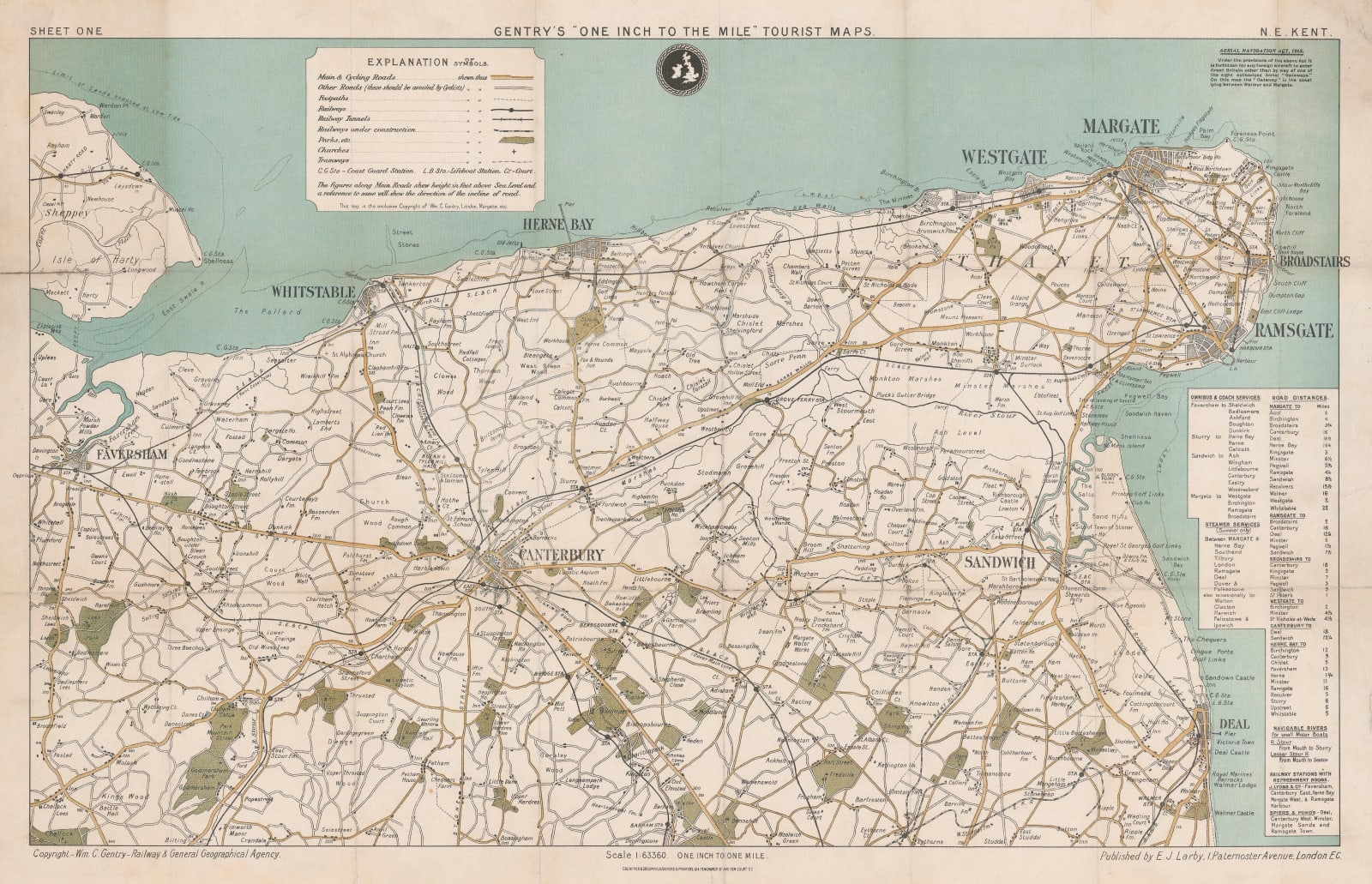
Wm. C. Gentry
69 x 43 cm
The map is based on the Ordnance Survey but with an emphasis on the rail and road network. A chart on the right shows distances, rail connections, steamer connections as well as "railway stations with refreshment rooms".
Original colour. [KENT676]


