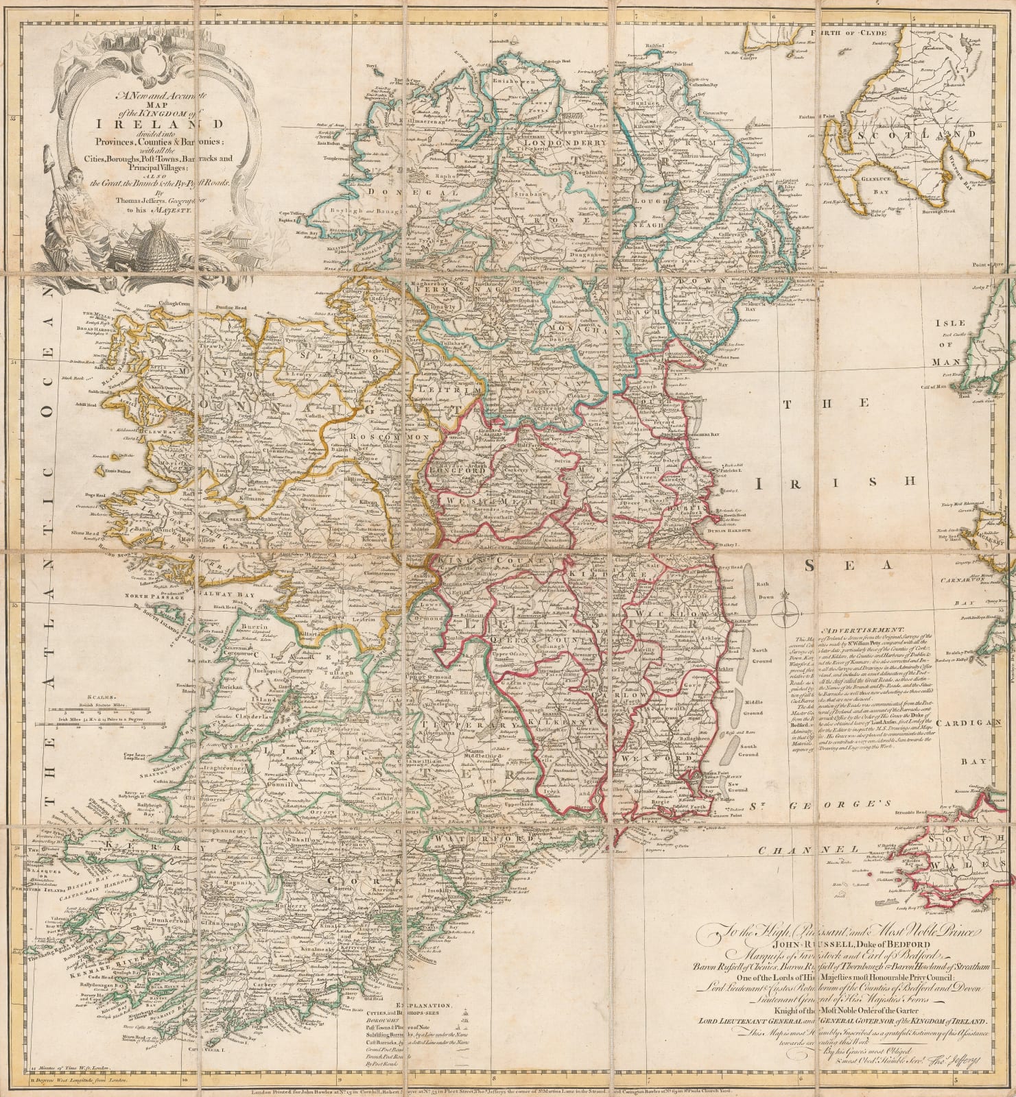
Thomas Jefferys
65 x 60 cm
Separately issued folding map of Ireland based on Sir William Petty's surveys.
This map was originally published in 1759. As stated on the text panel on the right, its source is mainly from the surveys of Sir William Petty made in 1656. A further source mentioned is the Navy under Lord Anson, whose permission is also mentioned in the same panel.
This example is the 1775 issue with a different publishing imprint on the lower margin and issued after the death of Jefferys in 1771.
Original colour. [IRE2109]


