Thomas Bowen
33 x 46 cm
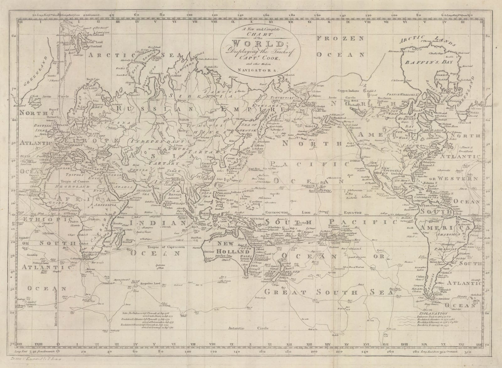
World map on Mercator's Projection focusing on the routes and discoveries made on the three voyages made by Captain Cook.
This map was originally included in Bankes's New System of Geography, although this 1790 edition is a little later than usual and this attribution has been removed from above the upper border although there are still faint traces visible.
The map is centred on the Pacific and focuses on the routes and discoveries of Cook and his accompanying ships made during his three great voyages. These are shown in Oceania, the east coast of Australia, New Zealand and the North Pacific. Despite this very recent information, the map still bears several legacy myths and mistakes; there are no political borders inland although the various major countries are marked. North America in particular suffers from the persistent belief that the Northwest Passage was awaiting discovery, hence the presence of the mythical River of the West. The coast of modern British Columbia bears the name "Fou Sang" a mythical Chinese outpost in North America as popularised by the 18th century French historian Joseph de Guignes.
Finally, the map is also adept at depicting Cook's attempt to reach the South Pole. Due to a particularly warm year, he was able to reach an extraordinarily long way into the ice pack before being forced to turn back. His description of this episode convinced many authorities that there was very little to find further south.
[WLD4745]


