G. & J. Bartholomew
77 x 98 cm
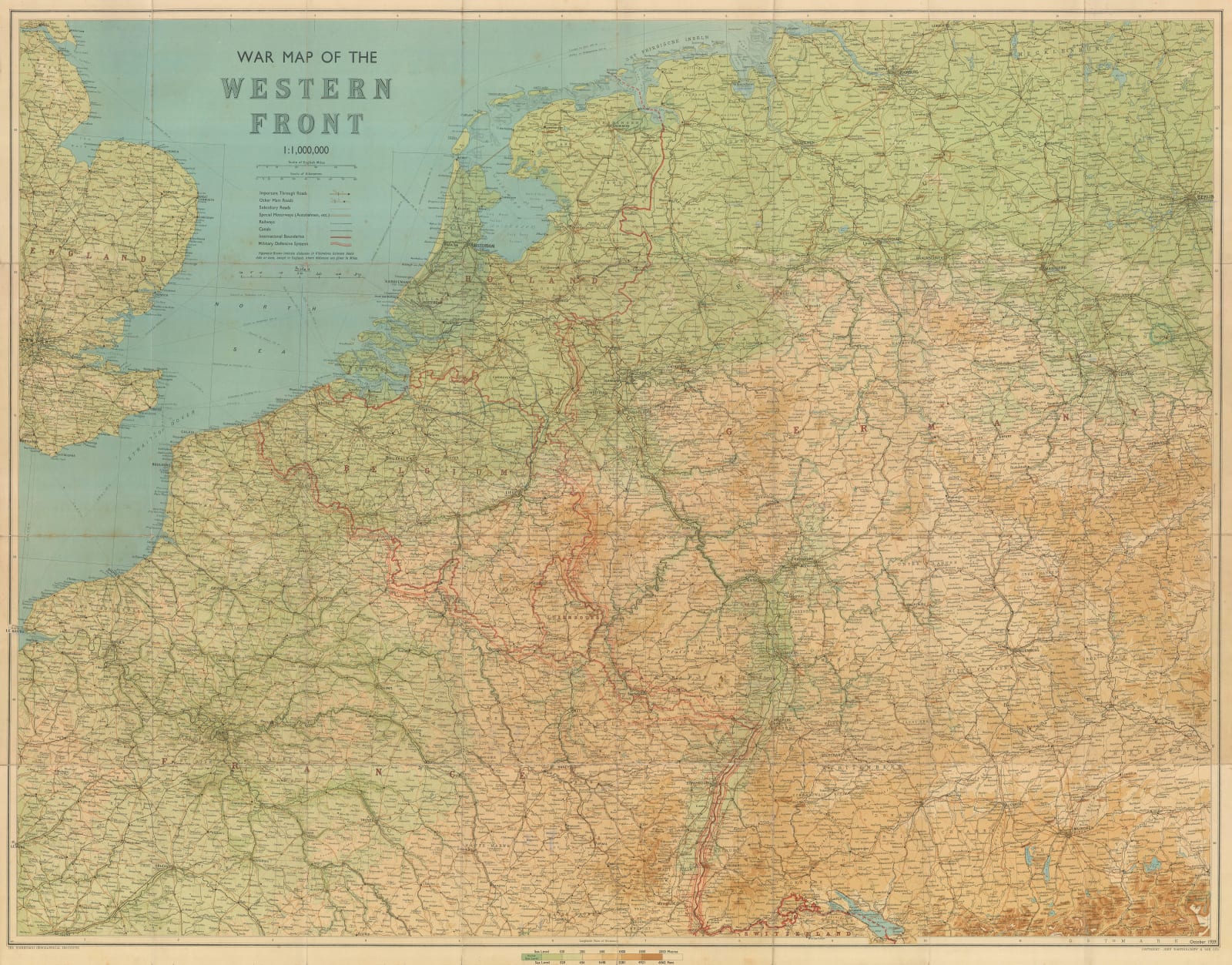
Similar maps of the "Western Front" were published by Bartholomew and other London publishers throughout the First World War as trench warfare resulted in a fairly stable battlefield. It is likely that Bartholomew expected the Second World War to follow a similar trajectory with the Maginot and Siegfried fortifications creating almost impenetrable defensive lines. The design of the map's front cover with an illustration of a Great War tank suggests that Bartholomew may have even reprinted WW1 maps with only minor changes and additions.
However, the rapid and unforeseen success of the German Blitzkrieg made such maps of the Western Front virtually obsolete for the first few years of the war, and it does not appear that Bartholomew re-issued this map again after October 1939.
Numerous manuscript notations of unknown origin in either coloured pencil or crayon. Printed colour. [EUR1544]


