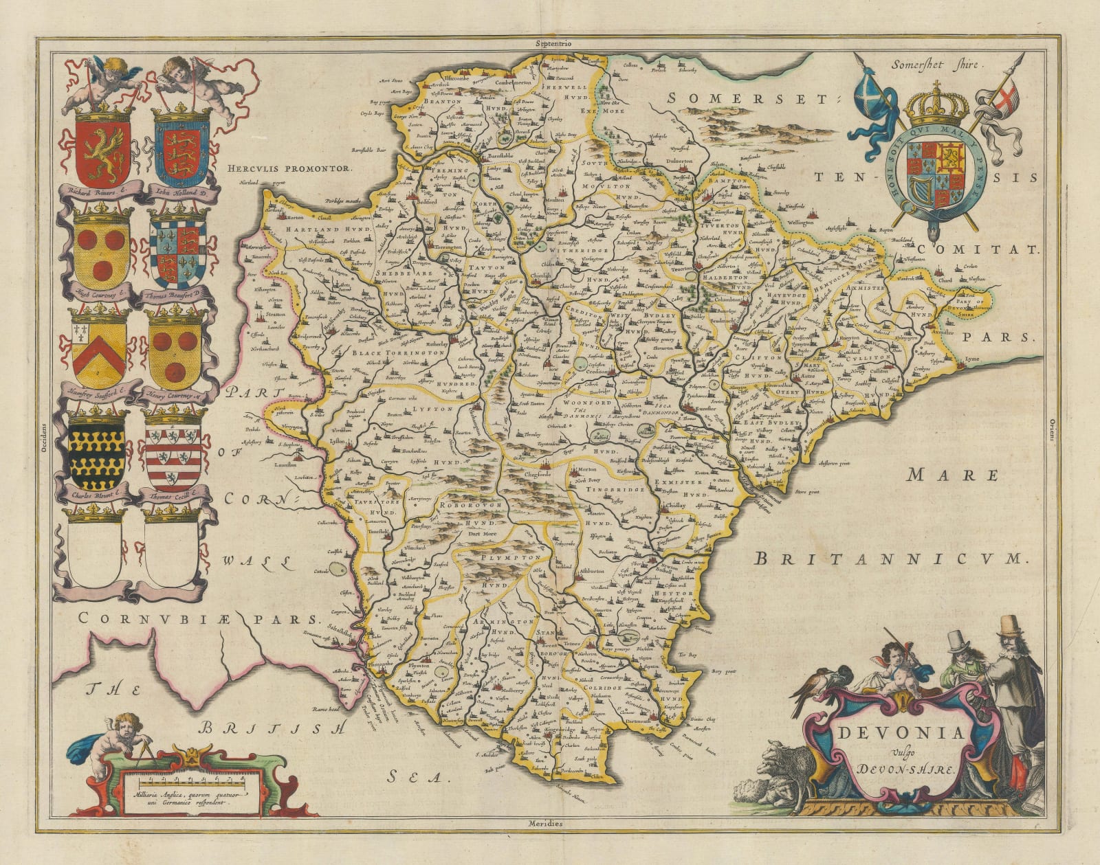
Jan Blaeu
39 x 50 cm
Attractive Dutch Golden Age map of Devon with a decorative cartouche and the coats of arms of important local nobles, including members of the Blount, Courtenay. Cecil, and Beaufort families. Geographically, the map is based on John Speed's map of 1611, which in turn is based on Christopher Saxton's survey made in the 1570s. Speed's mistake of placing Edgcombe, a small town just west of Plymouth, in Cornwall as opposed to Devon is replicated on this map.
Latin descriptive text on the verso provides a contemporary description of the county. Fine original hand colour.
[DEVON585]


