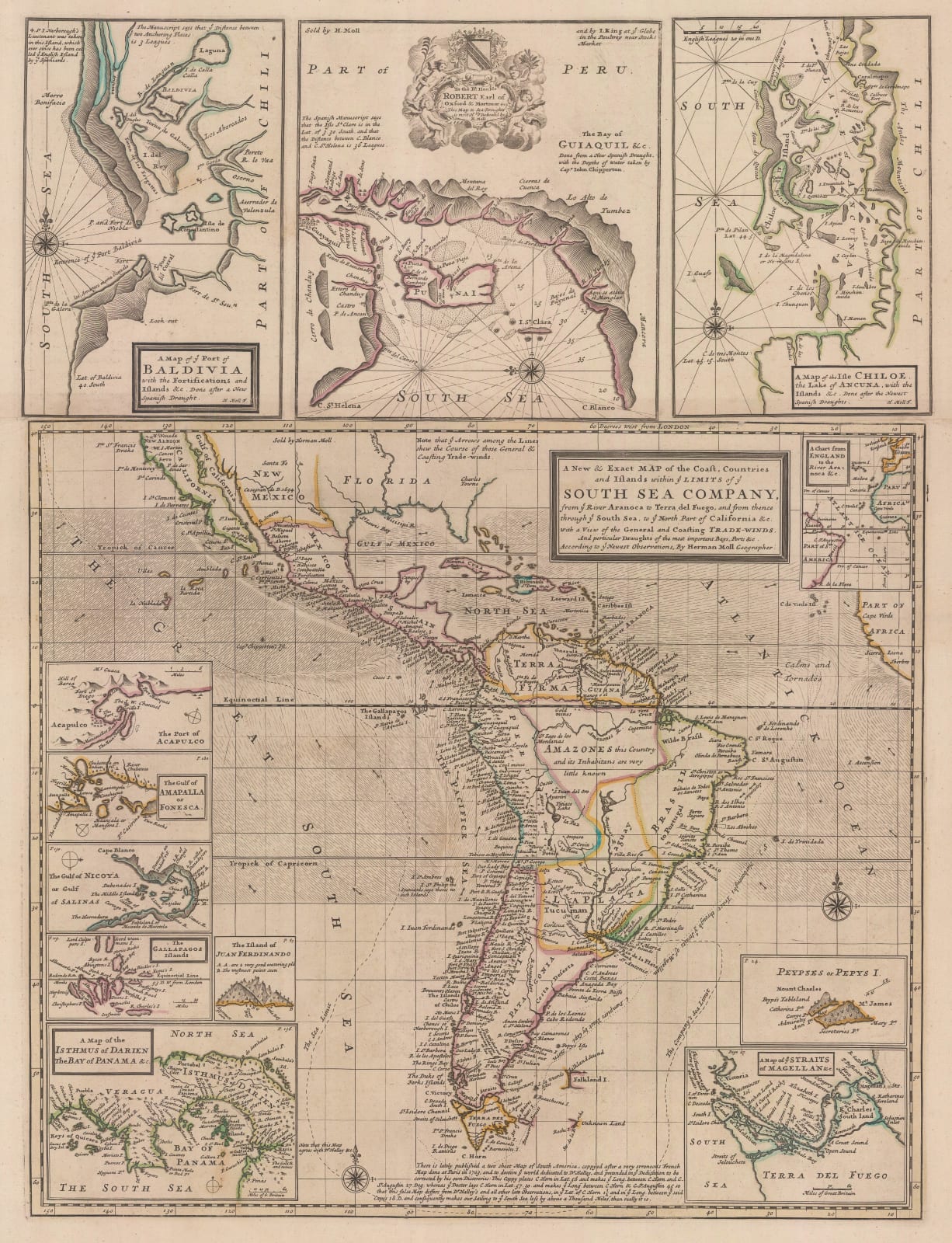
Herman Moll
66 x 50 cm
A map of South and Central America promoting the South Sea Company, a British stock company founded in 1711 to consolidate and reduce national debt. The company was granted a monopoly to trade with South America and nearby islands. The name "South Seas" was used rather than referring to the then unknown South Pacific.
When the company was created, Britain was involved in the War of the Spanish Succession and Spain was in control of South America. There was no realistic prospect that trade would take place, and the company never realised any significant profit. However, stock rose greatly in value as it expanded its operations dealing in government debt, peaking in 1720 at the time of this map being published before collapsing to little above its original flotation price; this became known as the "South Sea Bubble". In Great Britain, a considerable number of investors were ruined by the collapse and damaged the British economy as a result.
The map shows the exploration routes of Captain William Dampier (1651-1715), an English explorer and Naval officer who became the first Englishman to explore and map parts of Australia, and the first person to circumnavigate the world three times. This map includes several important insets, including Pepys Island (an entirely fictional island located off the coast of Argentina), the Magellan Straits, the Galapagos Islands, and the rich Spanish ports of Guayaquil and Valdivia.
Original colour. [SAM3505]


