Isaac Taylor
135 x 119 cm
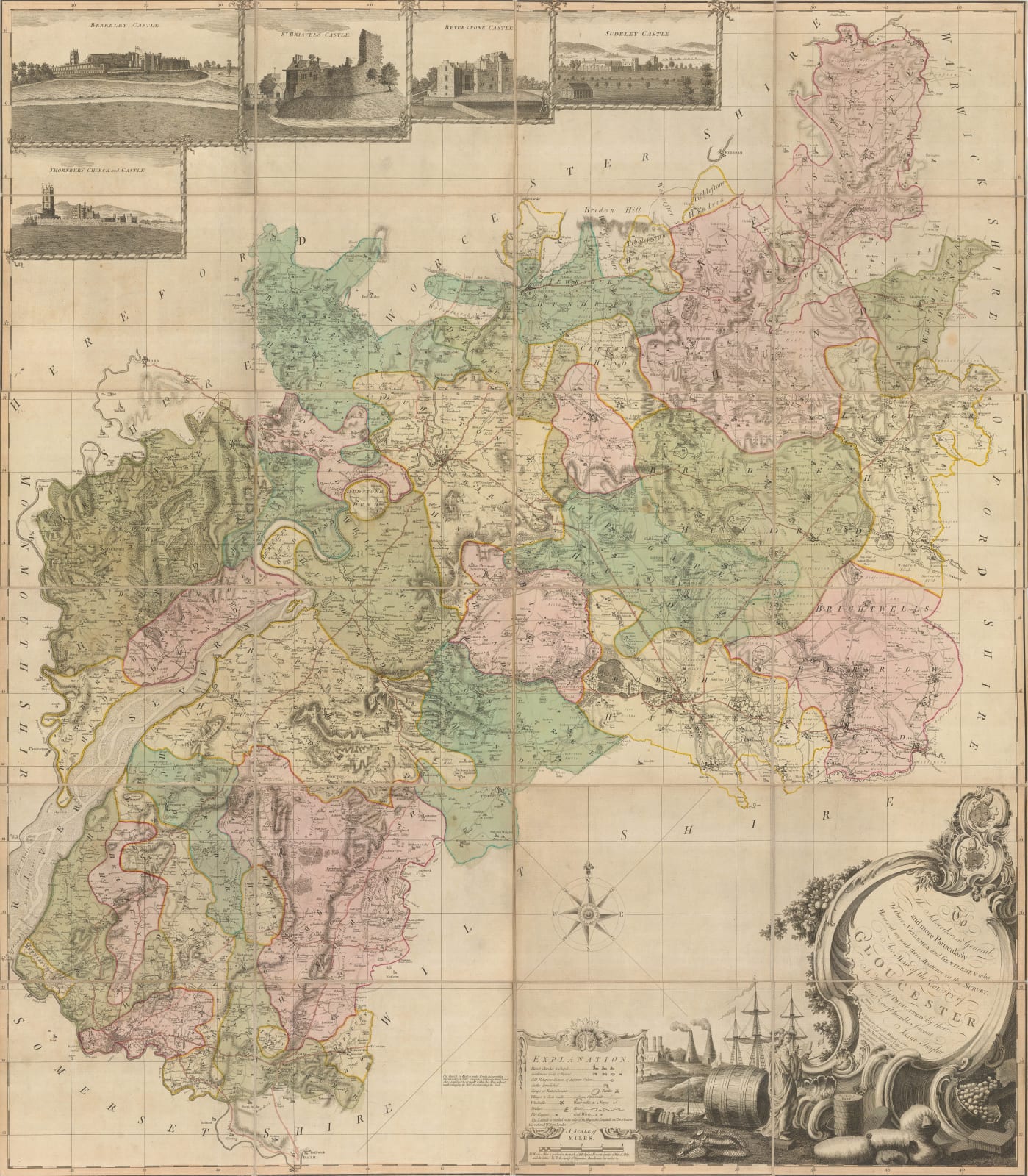
Spectacular and rare wall map of Gloucestershire published by Isaac Taylor and with a label indicating its availability for sale by William Faden.
Taylor was born in Worcester in 1730 and gained experience in surveying in his youth. He was related by marriage to the famous map maker Thomas Jefferys and produced five county wall maps in total, Gloucestershire being the last in 1777. He is far better known as a highly successful book illustrator, publisher and engraver. He had a particular interest in architecture and his “Builder’s Price Book,” first published in 1776, became the standard guide on the subject for over a century. He was Director of the Society of Artists in 1772-3 and became the Secretary in 1775.
His glorious map of Gloucestershire is based on his own survey and as with most of his other maps, is illustrated with five large vignettes of castles present in the county. On the lower right, a very large illustrated cartouche features the bounties of the county. The cartouche also mentions the sources for Taylor’s survey, namely the “Gentlemen and Noblemen who honoured me with their assistance in the Survey”. This suggests that he had access to private estate plans and manuscripts.
This example of the map is in full original colour. Folded. [GLOS452]


