-
 Antonio Zatta, Scandinavia, 1780 c.£ 325.00
 -
 Antonio Zatta, Denmark, 1781£ 325.00
 -
 Antonio Zatta, Southern Norway, 1781£ 695.00
 -
 Antonio Zatta, Sweden & Finland, 1781£ 395.00
 -
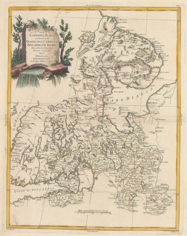
 Antonio Zatta, Northern Russia and Southern Finland, 1782£ 175.00
 -
 Robert Sayer, Scandinavia, 1790£ 385.00
 -
 William Faden, Scandinavia, 1794£ 1,150.00
 -
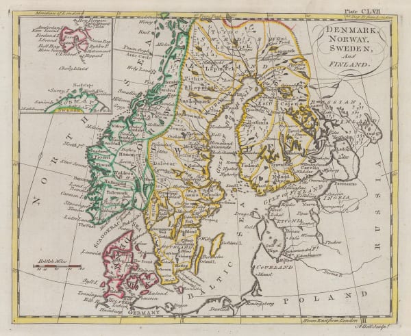
 Andrew Bell, Denmark, Norway, Sweden and Finland, 1797£ 72.00
 -
 John Cary, Scandinavia, 1801£ 350.00
 -
 William Faden, Chart of the Øresund, 1801£ 375.00
 -
 John Luffman, The Øresund , 1801£ 625.00
 -
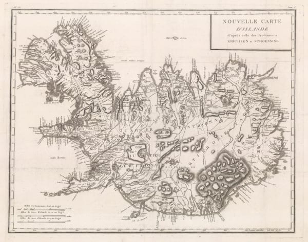
 Jon Eiríksson & Gerhard Schøning, Iceland, 1802£ 945.00
 -
 John Wilkes, Denmark, 1803£ 62.00
 -
 William Faden, Chart of the Baltic Sea, 1803£ 1,150.00
 -
 William Heather, Chart of the Kattegat, 1803£ 1,350.00
 -
 William Heather, Sea Chart of the Øresund & Copenhagen, 1803£ 1,850.00
 -
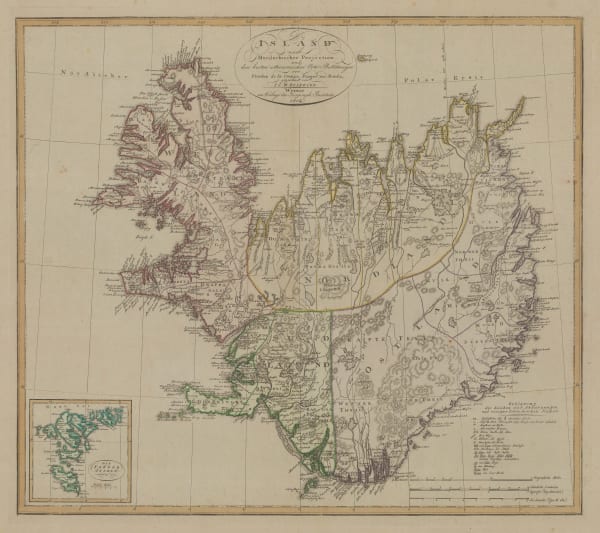
 Johann Christoph Reinecke, Iceland, 1804£ 775.00
 -
 George Steuart MacKenzie, Southwest Coast of Iceland, 1811£ 1,250.00
 -
 John Thomson, Chart of the North and Baltic Seas, 1816£ 485.00
 -
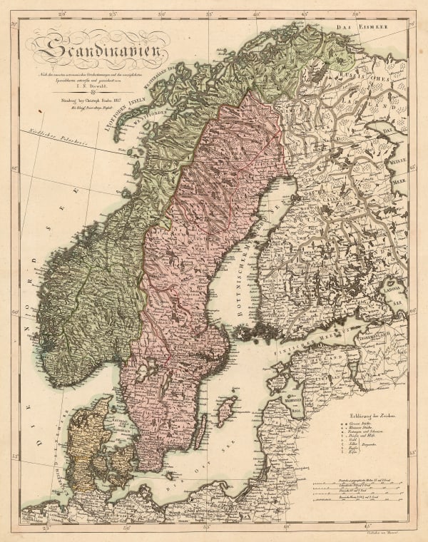
 Christoph Melchior Fembo, Scandinavia, 1817£ 295.00
 -
 William Faden, Scandinavia, 1819£ 92.00
 -
 Vasilii Petrovich Piadischeff, Estonia & Latvia, 1820£ 425.00
 -
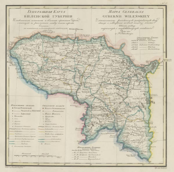
 Vasilii Petrovich Piadischeff, Vilnius Governorate, 1820£ 595.00
 -
 Conrad Malte-Brun, Sweden & Norway, 1820 c.£ 60.00
 -
 Felix Delamarche, Scandinavia, 1824£ 180.00
 -
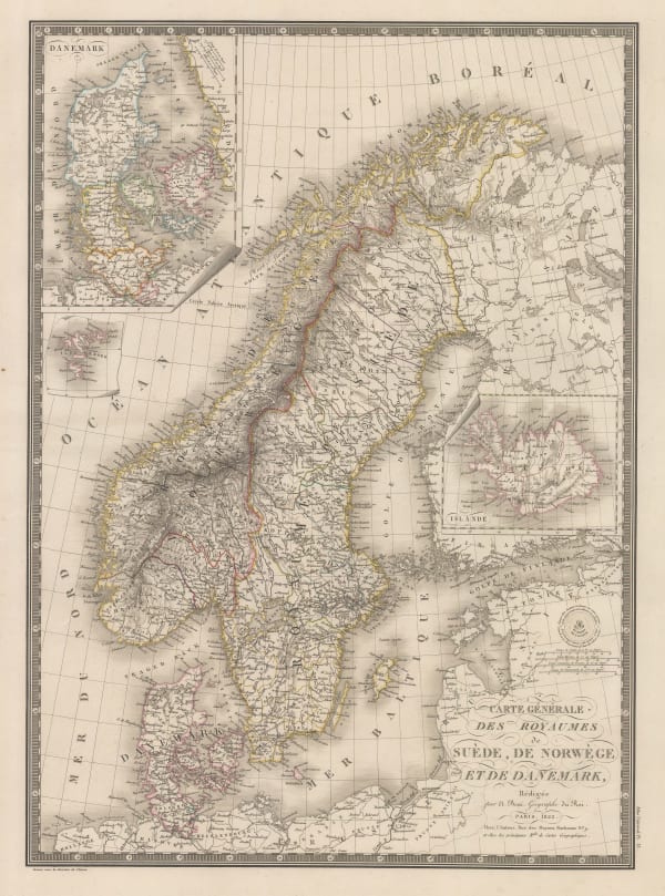
 Adrien Brue, Sweden, Norway & Denmark, 1825£ 95.00
 -
 John Thomson, Denmark, 1828£ 145.00
 -
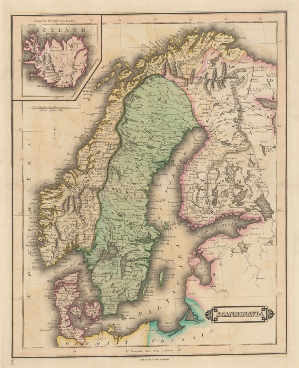
 John Thomson, Scandinavia, 1828£ 175.00
 -
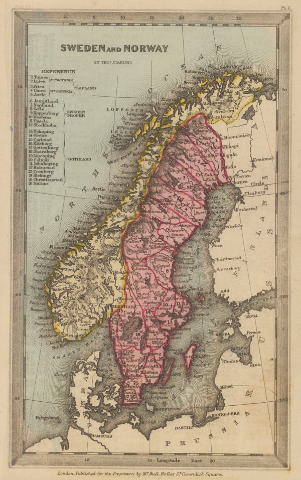
 Thomas Starling, Sweden and Norway, 1830 c.£ 80.00
 -
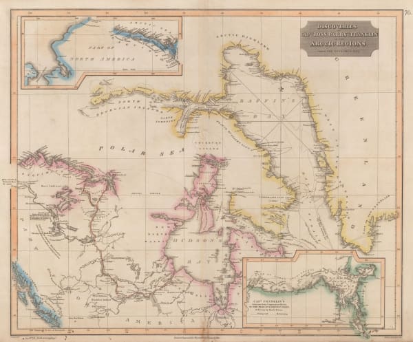
 John Thomson, Discoveries of Ross, Parry & Franklin in the Arctic , 1830 c.£ 2,950.00
 -
 Thomas Bradford, Denmark, Sweden, Norway, and Lapland, 1834£ 40.00
 -
 Rest Fenner, Sweden and Norway, 1836£ 65.00
 -
 James Wyld, A New Map of Sweden and Norway, 1840£ 450.00
 -
 Daniel & William Lizars, Scandinavia, 1840 c.£ 175.00
 -
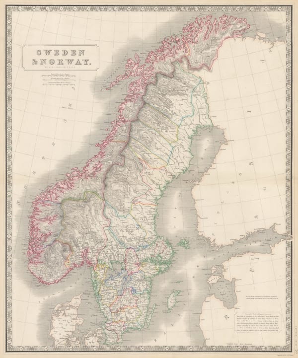
 W. & A.K. Johnston, Sweden & Norway, 1840 c.£ 125.00
 -
 Thomas Kelly, Sweden & Norway, 1840 c.£ 95.00
 -
 Joseph Meyer, Sweden & Norway, 1844£ 175.00
 -
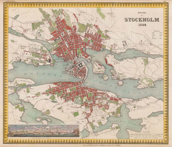
 Joseph Meyer, Stockholm, 1844£ 625.00
 -
 Joseph Meyer, Scandinavia, 1849£ 68.00
 -
 Olaf Nikolas Olsen, Iceland, 1849£ 3,250.00
 -
 Samuel Augustus Mitchell, Denmark, 1850£ 48.00
 -
 Samuel Augustus Mitchell, Sweden and Norway, 1850£ 60.00
 -
 John Tallis, Denmark, 1851£ 225.00
 -
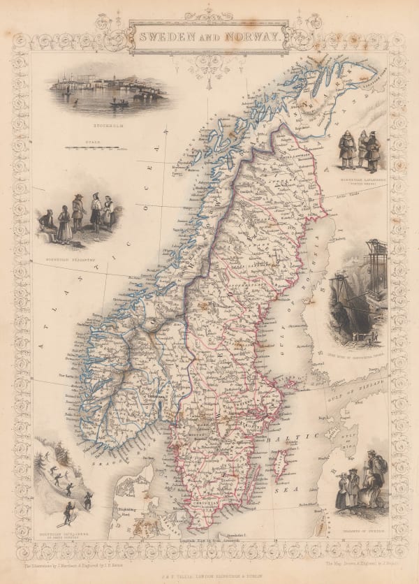
 John Tallis, Sweden and Norway, 1851£ 265.00
 -
 Carl Fredrik Ström, Sweden and Norway, 1853£ 495.00
 -
 British Admiralty, Baltic Sea, 1854£ 985.00
 -
 James Wyld, Baltic Sea & Southern Scandinavia, 1854£ 675.00
 -
 Society for the Diffusion of Useful Knowledge (SDUK), Sweden, Norway and Denmark, 1854£ 44.00
 -
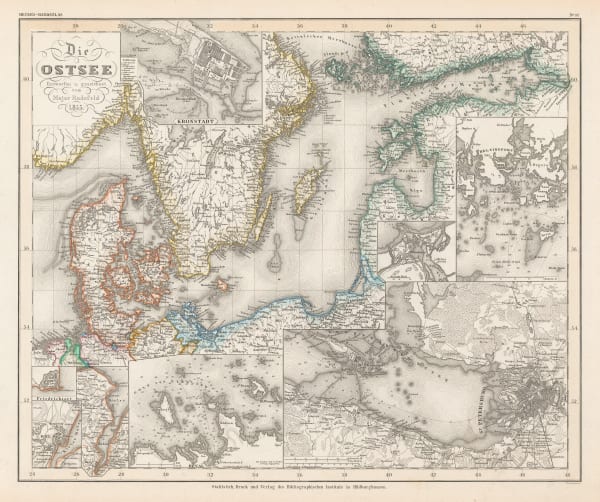
 Joseph Meyer, Baltic Sea, 1855£ 145.00
 -
 John Dower, Sweden and Norway, 1860 c.£ 58.00
 -
 Blackie & Son, The Shores of the Baltic Sea and of the Gulfs of Bothnia & Finland, 1866£ 74.00
 -
 Aleph, Denmark, 1869£ 650.00
 -
 Justus Perthes, Die Meeres-Temperatur des Grönländischen Meeres, 1869£ 88.00
 -
 Royal Geographical Society (RGS), Surface Temperatures of the North Atlantic between Shetland & Greenland, 1870£ 155.00
 -
 James Wyld, Norway & Sweden, 1874£ 125.00
 -
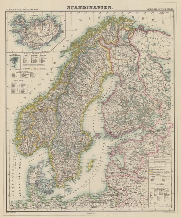
 Heinrich C. Kiepert, Scandinavia, 1877£ 82.00
 -
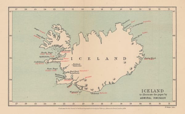
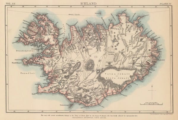
 Royal Geographical Society (RGS), Iceland, 1879£ 68.00
 -
 A. Simon, Liepāja (Libau), 1879£ 175.00
 -
 W. & A.K. Johnston, Iceland, 1880 c.£ 125.00
 -
 George W. Bacon, Iceland, Greenland, and the Faroe Islands, 1880 c.£ 175.00
 -
 A. Simon, Riga, 1881£ 495.00
 -
 Letts & Son, Estonia & Latvia, 1882£ 78.00
 -
 Karl von Löwis, Latvia & Estonia, 1883£ 125.00
 -
 A. Simon, Port of Bergen, 1885£ 265.00
 -
 A. Simon, Port of Gothenburg, 1885£ 82.00
 -
 Scottish Geographical Society (SGS), The Geographical Discoveries of Lieut. Greely's Expedition, 1882-3., 1885£ 225.00
 -
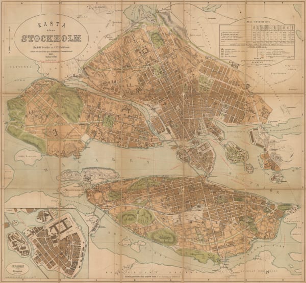
 Rudolf Brodin, Stockholm, 1885£ 450.00
 -
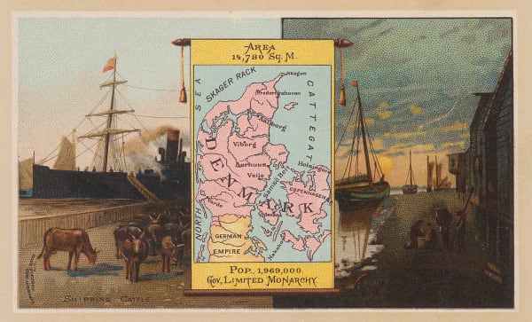
 Arbuckle Brothers Company, Denmark, 1889£ 60.00
 -
 Arbuckle Brothers Company, Norway & Sweden, 1889£ 92.00
 -
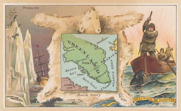
 Arbuckle Brothers Company, Greenland, 1889£ 65.00
 -
 Royal Geographical Society (RGS), Nansen's First Crossing of Greenland, 1889£ 195.00
 -
 Scottish Geographical Society (SGS), Sketch Map of Greenland and Surrounding Seas, 1890£ 385.00
 -
 Justus Perthes, Die Arktische Windscheide und die Neuesten Polarprojekte, 1891£ 92.00
 -
 J. Migeon, Sweden & Norway, 1891£ 75.00
 -
 Scottish Geographical Society (SGS), Sketch Map of Arctic Regions Showing Dr. Nansen's Projected Route, 1892£ 225.00
 -
 G. & J. Bartholomew, Copenhagen, 1893£ 58.00
 -
 I. Uschakoff, Southern Finland, 1898£ 345.00
 -
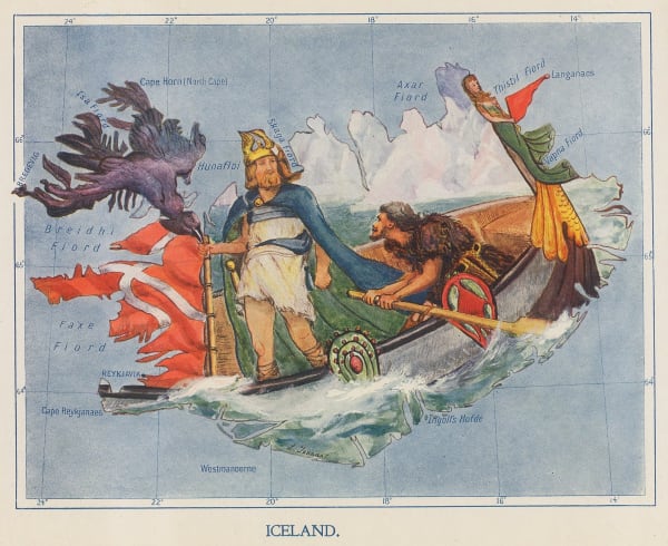
 Lilian Tennant, Iceland, 1912£ 395.00
 -
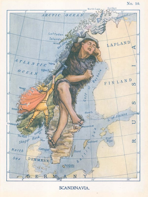
 Lilian Tennant, Sweden & Norway, 1912£ 345.00
 -
 Royal Geographical Society (RGS), Sketch Map to Illustrate Einar Mikkelsen's Expedition to North East Greenland 1909-12, 1913£ 88.00
Page
2
of 3


