-
 Lucas Waghenaer, Description des Costes Marines d'Angleterre, entre Pleymouth & Portlandt, avec les principaulx haures d'icelles, 1590£ 3,500.00
 -

-
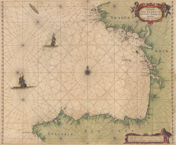
 Abraham Goos, The Bay of Biscay, 1670 c.£ 1,385.00
 -
 Valk & Schenk, Cape Verde Islands, 1690 c.£ 700.00
 -
 Jeremiah Seller, Chart of the Atlantic and the West Indies, 1703£ 1,750.00
 -
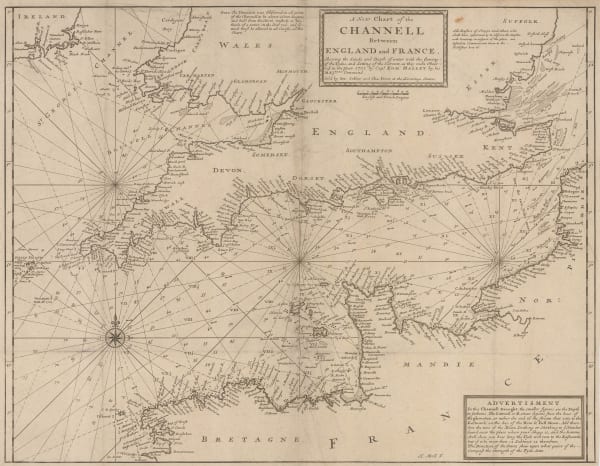
 Herman Moll, A New Chart of the Channell between England and France, 1705 c.£ 625.00
 -
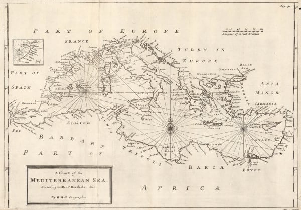
 Herman Moll, A Chart of the Mediterranean Sea, 1720 c.£ 625.00
 -
 Mount & Page, A New and Correct Chart of England, Scotland and Ireland, 1740 c.£ 895.00
 -
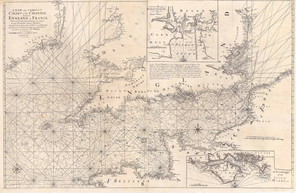
 Mount & Page, A New and Correct Chart of the Channel, 1740 c.£ 1,750.00
 -
 Jacques-Nicolas Bellin, Chart of the Pacific Ocean, 1742£ 3,750.00
 -
 Herman Moll, A General Chart of the Sea Coast of Europe, Africa and America, 1745£ 895.00
 -
 Emanuel Bowen, Chart of the Atlantic Ocean, 1748£ 825.00
 -
 Mount & Page, Chart of Hispaniola or Haiti and the Dominican Republic, 1750 c.£ 1,750.00
 -
 Mount & Page, English chart of the Caribbean and Gulf of Mexico, 1750 c.£ 4,500.00
 -
 Jacques-Nicolas Bellin, Carte Réduite Dea Isles Açores, 1755£ 475.00
 -
 Jacques-Nicolas Bellin, French sea chart of the Atlantic Ocean, 1757£ 985.00
 -
 Jacques-Nicolas Bellin, Carte des Entrees de la Tamise, 1759£ 625.00
 -
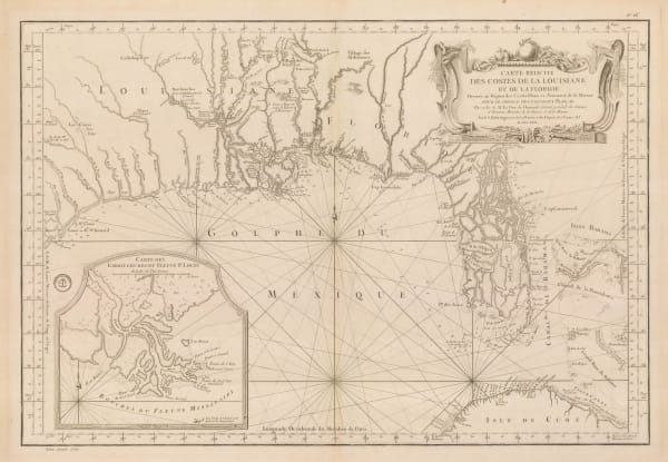
 Jacques-Nicolas Bellin, Florida and Louisiana coast, 1764£ 4,950.00
 -
 Jacques-Nicolas Bellin, Essex, Kent & the Mouth of the Thames, 1764£ 165.00
 -
 Jacques-Nicolas Bellin, Chart of the West Indies and Gulf of Mexico, 1774£ 1,950.00
 -
 Sayer & Bennett, Sea Chart of the Atlantic Ocean, 1775£ 675.00
 -
 William Faden, Chart of the Coast of the Iberian Peninsula and Western Mediterranean, 1780£ 425.00
 -
 Jacques-Nicolas Bellin, The Bay of Biscay, 1780 c.£ 575.00
 -
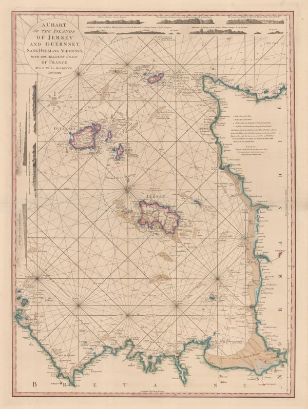
 William Faden, Chart of the Channel Islands, 1781£ 2,250.00
 -
 William Faden, Leeward and Windward Islands, 1784£ 3,650.00
 -
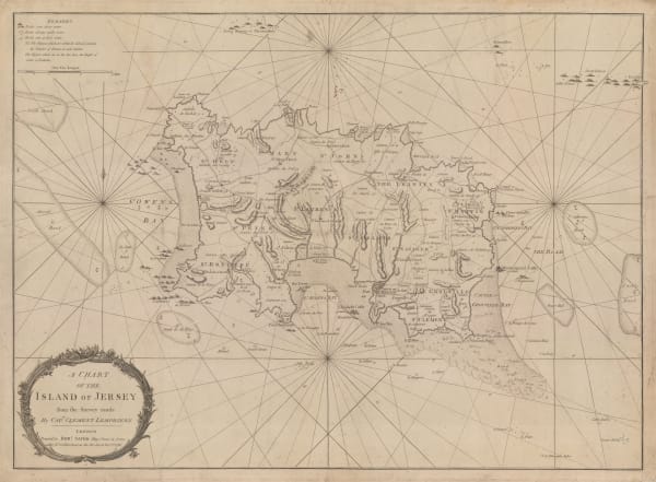
 Robert Sayer, A Chart of the Island of Jersey, 1786£ 1,850.00
 -
 Jacques-Nicolas Bellin, Chart of the North Atlantic Ocean, 1786£ 1,200.00
 -
 Jacques-Nicolas Bellin, Chart of Turks and Caicos, 1787£ 1,275.00
 -
 Laurie & Whittle, A Chart of the Coast of India, from Goa to Cape Comorin, 1794£ 1,250.00
 -
 Laurie & Whittle, Madeira & the Canary Islands, 1794£ 925.00
 -
 Laurie & Whittle, A Chart of the Northern Part of the Indian Ocean, 1794£ 2,850.00
 -
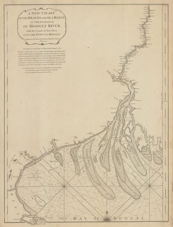
 Laurie & Whittle, Chart of entrance to the Hooghly River, 1794£ 1,650.00
 -
 Laurie & Whittle, A Plan of Table Bay with the Road of the Cape of Good Hope, 1794£ 2,950.00
 -
 Laurie & Whittle, Bay of Biscay, 1794£ 1,250.00
 -
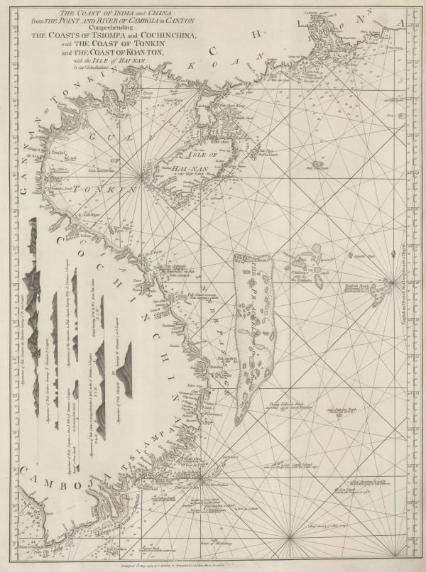
 Laurie & Whittle, The Coast of India and China from the Point and River of Camboja to Canton, 1794£ 2,250.00
 -
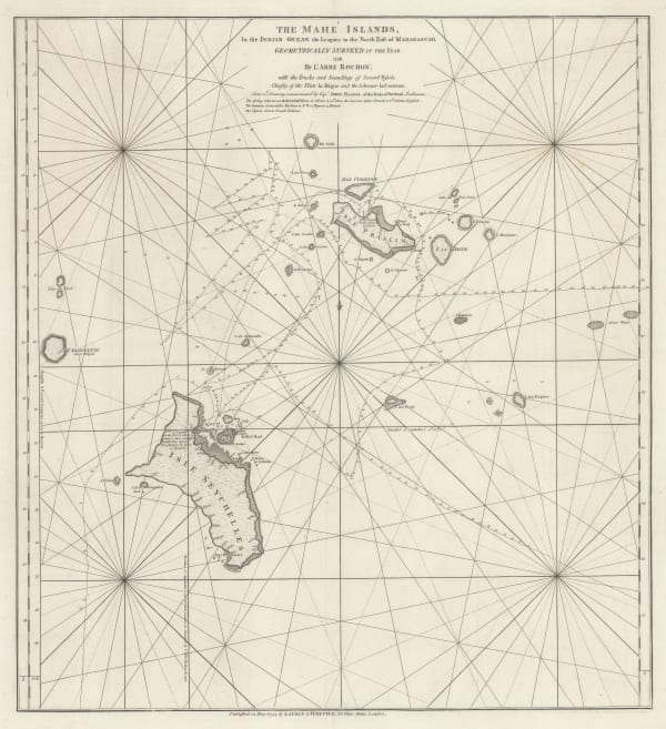
 Laurie & Whittle, The Seychelles, or Mahe Islands, 1794£ 2,450.00
 -
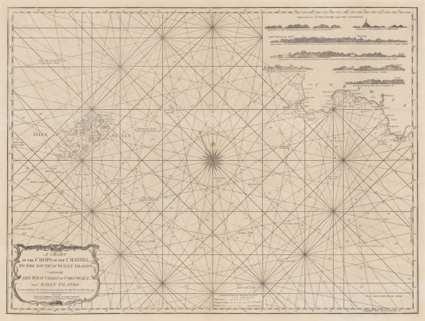
 Laurie & Whittle, A Chart of the Chops of the Channel, to the South of Scilly Islands: Containing the West Coast of Cornwall and Scilly Islands, 1795£ 545.00
 -
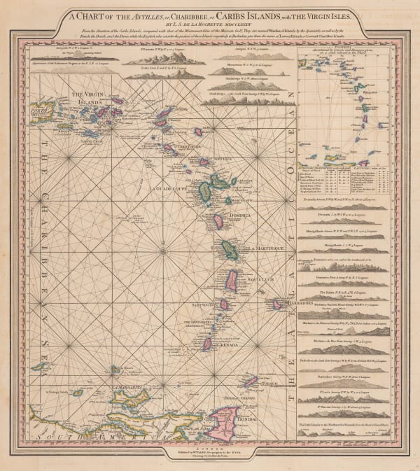
 William Heather, Caribbean Islands from the Virgin Islands to Trinidad and Tobago, 1795£ 1,950.00
 -
 Sir George Staunton, A Chart of part of the Coast of Cochin-China including Turon Harbour and the Island of Callao, 1796£ 325.00
 -
 Sir George Staunton, A General Chart on Mercator's Projection, 1796£ 1,450.00
 -
 Laurie & Whittle, A Hydrographic Survey of False Bay or Bay False, 1798£ 1,650.00
 -
 Laurie & Whittle, Plymouth Sound, Hamoaze & Catwater, 1798£ 595.00
 -
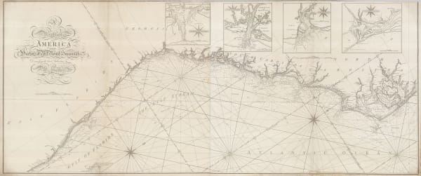
 William Heather, Chart of the East coast from the Outer Banks of North Carolina to Fort Lauderdale, 1799£ 4,250.00
 -

-
 William Heather, Sea Chart of the South Atlantic & South America, 1799£ 2,250.00
 -
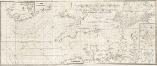
 Laurie & Whittle, A New Chart of the British Channel, 1800£ 1,750.00
 -
 William Heather, Chart of the coast of Portugal and Spain, 1800£ 1,550.00
 -
 William Heather, A New Chart of the Cape Verde Islands, 1800 c.£ 325.00
 -
 William Heather, Plymouth Sound, Portland and Falmouth & Helford, 1800 c.£ 950.00
 -

-
 William Faden, Chart of the Øresund, 1801£ 375.00
 -
 William Heather, The Entrances to the River Thames, 1801£ 1,650.00
 -
 Laurie & Whittle, Extraordinary chart of the Atlantic Ocean, 1802£ 4,450.00
 -
 William Heather, Chart of the East Coast of England, 1802£ 950.00
 -
 William Heather, Bay of Biscay, 1802£ 1,950.00
 -
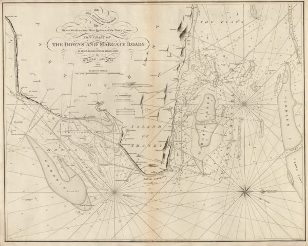
 William Heather, The Downs and Margate Roads, 1802£ 750.00
 -

-
 William Heather, A New Chart of the Azores or Western Isles, 1803£ 850.00
 -
 William Heather, A New Chart of the Bristol Channel, 1803£ 1,450.00
 -

-
 William Heather, Heather's New and Improved Chart of the Orkney Isles. Drawn from the Most Accurate Surveys., 1804£ 1,650.00
 -
 William Heather, Sea Chart of the British Isles, 1804£ 1,850.00
 -

-

-
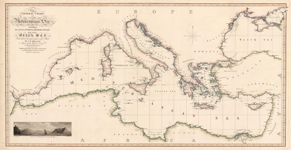
 William Faden, General Chart of the Mediterranean Sea, 1805£ 2,250.00
 -
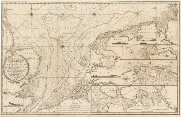
 William Heather, New Chart of the Coasts of England and Holland from the Latest Surveys, 1805£ 1,750.00
 -
 William Heather, Chart of the Atlantic Ocean, 1807£ 4,500.00
 -
 Capt. James Horsburgh, Sea Chart of South Africa & Madagascar, 1812£ 785.00
 -
 British Admiralty, A Survey of the Island of Trinidad, 1816£ 1,450.00
 -
 John Thomson, Chart of the North and Baltic Seas, 1816£ 485.00
 -
 John William Norie, Chart of the White Sea, 1819£ 2,250.00
 -
 John Thomson, Chart of the Mediterranean Sea, 1820 c.£ 575.00
 -
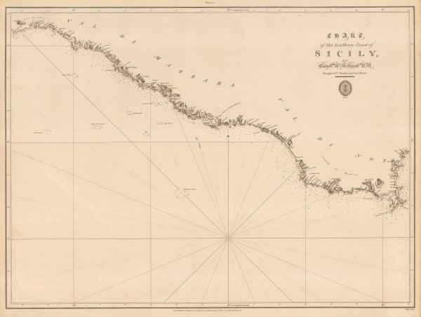
 British Admiralty, Chart of the Southern Coast of Sicily, 1823£ 175.00
 -
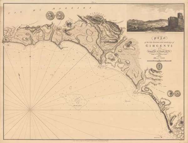
 British Admiralty, Plan of the City, Environs and Anchorage of Girgenti, 1823£ 275.00
 -
 John William Norie, A New Chart of the Coasts of England and Holland, 1824£ 2,250.00
 -
 British Admiralty, Chart of the Coast of France, 1826£ 160.00
 -
 British Admiralty, The Coast of Italy from Naples to Cape Vaticano, 1827£ 200.00
 -
 British Admiralty, Chart of the North Coast of Africa from Ras al Halal to Alexandria, 1833£ 180.00
 -
 Spanish Admiralty, Chart of Florida, Bahamas and Cuba , 1838£ 4,850.00
 -
 Daniel & William Lizars, Chart of the Atlantic Ocean, 1840 c.£ 145.00
Page
1
of 3


