-
 Sebastian Münster, Important woodcut map of the Holy Roman Empire, 1558£ 385.00
 -

-
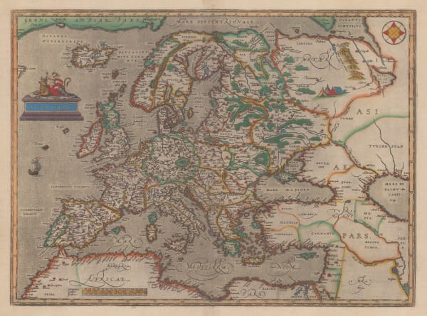
 Abraham Ortelius, First atlas map of Europe, 1595£ 3,450.00
 -
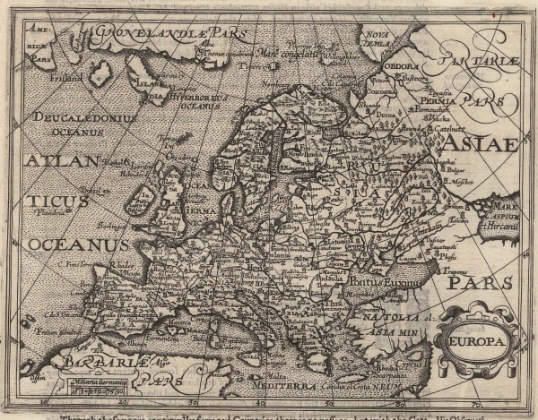
 Giovanni Antonio Magini, Early map of Europe, 1596£ 425.00
 -
 Mercator Hondius, Dutch Golden Age map of Europe, 1620 (c.)£ 1,850.00
 -
 Samuel Purchas, Early map of Europe, 1625£ 425.00
 -
 John Speed, The Ancient Roman Empire , 1627£ 3,950.00
 -
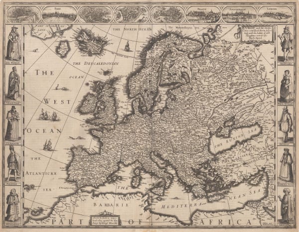
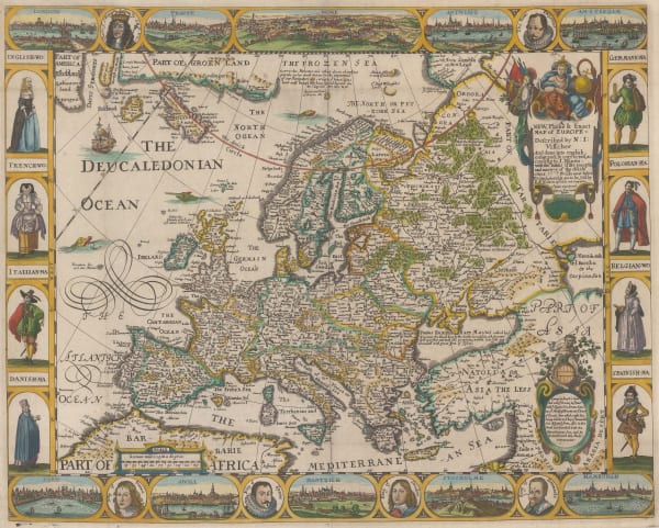
 John Speed, John Speed's celebrated map of Europe, 1627£ 4,250.00
 -
 Pieter van den Keere, Early miniature map of Europe, 1627£ 325.00
 -

-
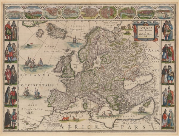
 Henricus Hondius, Hondius’s important map of Europe, 1638 c£ 3,250.00
 -
 Matthäus Merian, Europe, 1646£ 975.00
 -

-
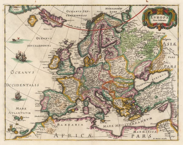
 Mercator Hondius, Europe, 1661£ 395.00
 -
 Nicolas Sanson, Europe, 1679£ 395.00
 -
 Pierre Duval, Europe, 1680 c.£ 275.00
 -
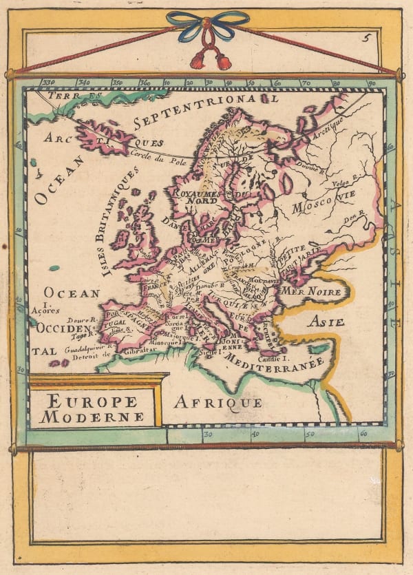
 Alain Manesson Mallet, Miniature map of Europe, 1683£ 145.00
 -
 Carolus Allard, Uncommon map of Europe, 1690 c.£ 2,750.00
 -
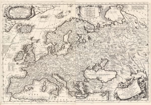
 Vincenzo Coronelli, Europe, 1691£ 4,750.00
 -
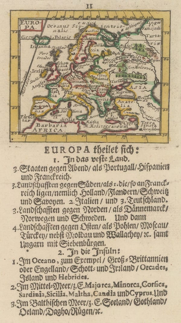
 Johann Ulrich Muller, Miniature map of Europe, 1692£ 245.00
 -
 Robert Morden, Europe, 1693£ 345.00
 -
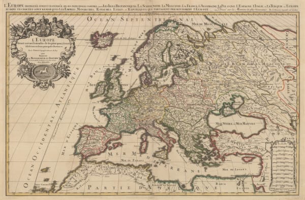
 Alexis-Hubert Jaillot, Europe, 1696£ 3,750.00
 -
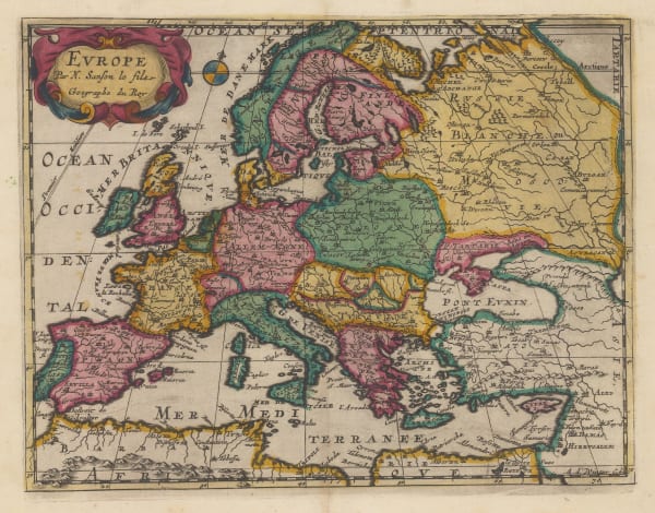
 Nicolas & Guillaume Sanson, Europe, 1700£ 495.00
 -
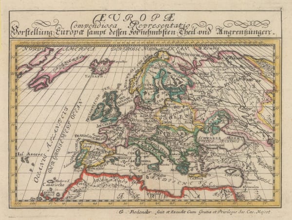
 Gabriel Bodenehr, Europe, 1704£ 245.00
 -
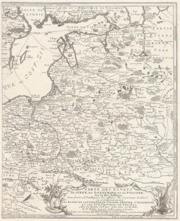
 Nicolas de Fer, Poland & the Baltic States, 1705£ 550.00
 -
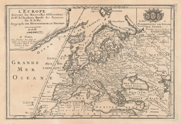
 Nicolas de Fer, Europe, 1705£ 495.00
 -
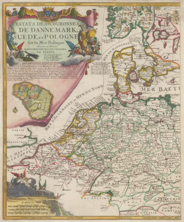
 Nicolas de Fer, Netherlands, Germany, and Denmark, 1705 c.£ 185.00
 -
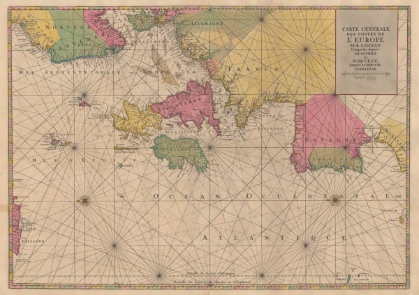
 Pierre Mortier, Chart of the Atlantic coast of Europe, 1708£ 1,450.00
 -
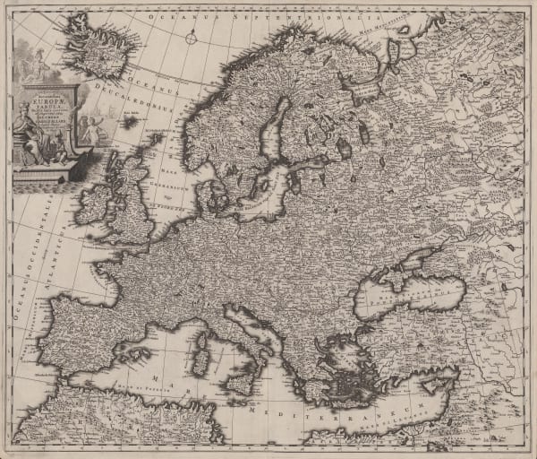
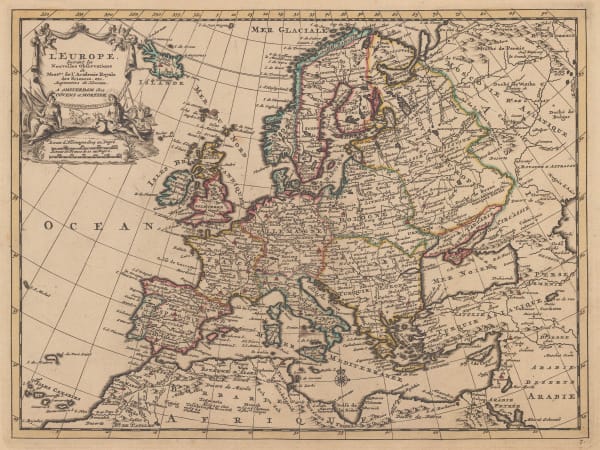
 Pieter van der Aa, Europe, 1714£ 495.00
 -
 Jacques Chiquet, Europe, 1719£ 275.00
 -
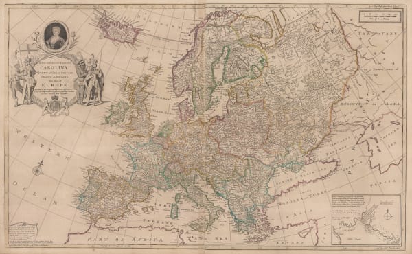
 Herman Moll, Europe, 1723£ 325.00
 -
 Herman Moll, Historical Map of the Roman Empire, 1730 c£ 2,450.00
 -
 Herman Moll, Map of Europe, 1730 c£ 4,750.00
 -
 Covens (Jean) & Mortier (Cornelius), Europe, 1730 c.£ 495.00
 -
 Herman Moll, Political map of Europe, 1745£ 245.00
 -
 Jacques-Nicolas Bellin, France and Spain, 1746£ 125.00
 -
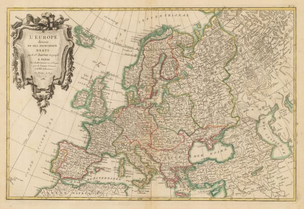
 Georges-Louis Le Rouge, Europe, 1746£ 295.00
 -
 Isaac Tirion, Trade route map of Europe, 1750 c.£ 925.00
 -
 Jonas Hanway, The Author's Routes from London as Far as Zaritzen, & back through Russia Germany and Holland, 1754£ 295.00
 -
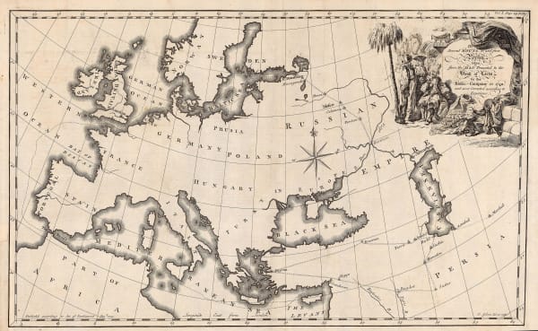
 Jonas Hanway, Map of Europe with trade routes to Persia, 1754£ 445.00
 -
 Tobias Conrad Lotter, Miniature map of Europe, 1755 c.£ 195.00
 -
 Thomas Salmon, Europe, 1759£ 375.00
 -
 Andrew Dury, Europe, 1761£ 175.00
 -
 Thomas Bowen, 'Age of Reason' map of Europe, 1777£ 395.00
 -
 Thomas Conder, Europe, 1779£ 295.00
 -
 John Harrison, Europe prior to the Napoleonic Wars, 1782£ 125.00
 -
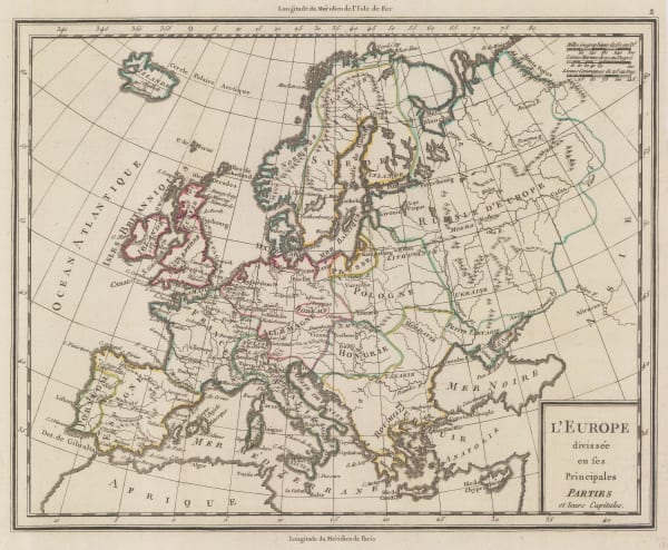
 Jean Denis Janvier, Europe, 1782£ 475.00
 -
 John Harrison, A Chart of the English Channel with the Coasts of France, Spain, and Portugal, 1784£ 95.00
 -
 Pierre Tardieu, Europe showing political borders, 1785£ 75.00
 -
 William Guthrie, Europe from the best Authorities, 1792£ 85.00
 -
 Francois Bohn, Anthropomorphic map of Europe, 1794£ 950.00
 -

-
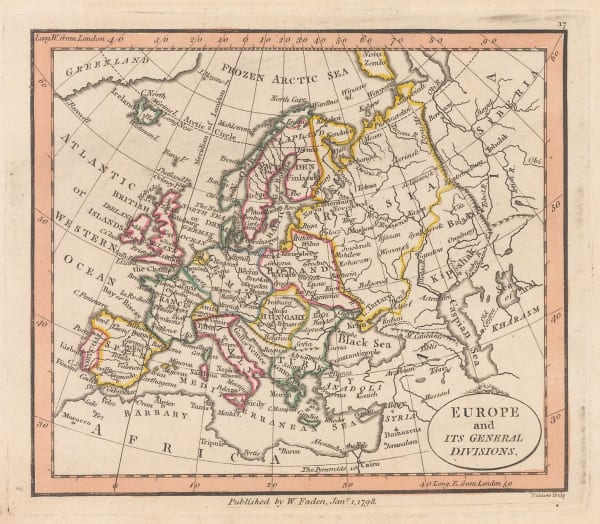
 William Faden, Europe and its General Divisions, 1798£ 245.00
 -
 Robert Wilkinson, Roman Empire, 1798£ 195.00
 -

-
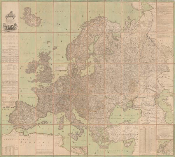
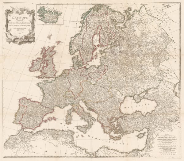
 Charles Francois Delamarche, Wall map of Europe with Napoleon's conquests, 1805£ 3,950.00
 -

-
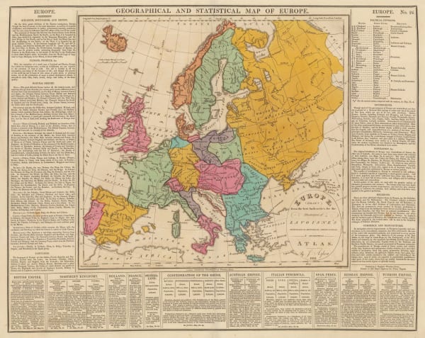
 C.V. Lavoisne, Geographical and Statistical Map of Europe, 1813£ 285.00
 -
 John Thomson, Europe After the Congress of Vienna, 1816£ 1,550.00
 -

-
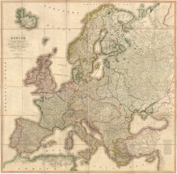
 John Thomson, Europe, 1828£ 425.00
 -
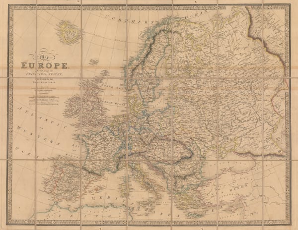
 James Wyld, Map of Europe, 1844£ 895.00
 -
 James Wyld, Post Map of Europe, 1845£ 450.00
 -
 Edward Wallis, European Travellers - An Instructive Game, 1845 c.£ 4,950.00
 -
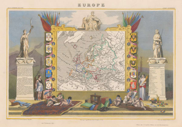
 Victor Levasseur, Europe, 1847£ 125.00
 -
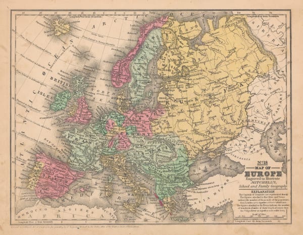
 Samuel Augustus Mitchell, Map of Europe, 1847 (c.)£ 95.00
 -
 Aaron Arrowsmith, Map Exhibiting the Great Post Roads, Physical and Political Divisions of Europe, 1848£ 3,450.00
 -
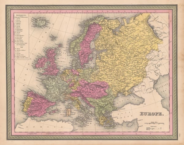
 Samuel Augustus Mitchell, Europe, 1849£ 245.00
 -
 Ferdinand Schroders, German caricature of central Europe, 1849£ 950.00
 -
 John Tallis, Europe, 1851£ 445.00
 -

-
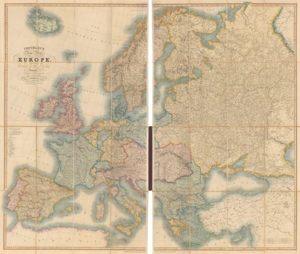
 George Frederick Cruchley, Folding wall map of Europe, 1855£ 2,750.00
 -
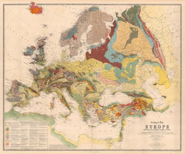
 W. & A.K. Johnston, Geological Map of Europe, 1856£ 3,500.00
 -

-
 F.A. Brockhaus, Decorative map of Europe, 1859£ 485.00
 -
 Jan van Brederode, Dutch caricature map of Europe during the Franco-Austrian War, 1859£ 1,250.00
 -
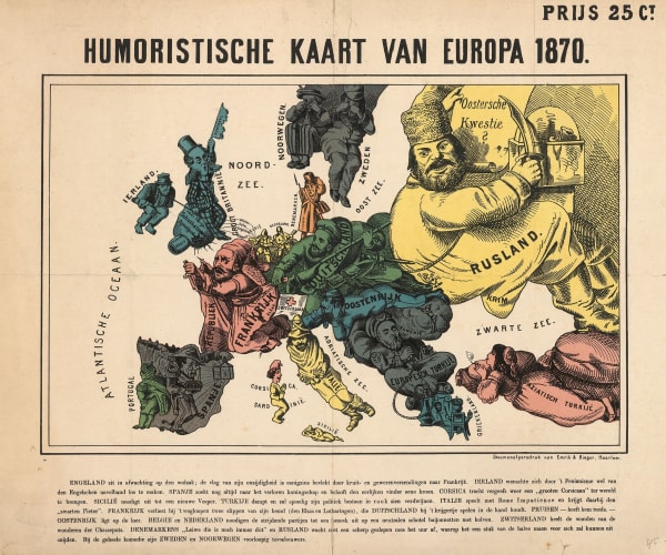
 Arnold Neumann, Dutch edition of a rare German caricature map of Europe during the Franco-Prussian War, 1870£ 3,500.00
 -
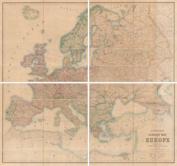
 Edward Stanford, Stanford's Library Map of Europe, 1871£ 3,950.00
 -
 Board of Trade Wreck Register, Chart of Europe Shewing the Wrecks & Casualties to British Vessels Elsewhere than on the Coast of United Kingdom, 1875£ 385.00
 -
 A. Simon, French Ministry of Works import and export map of Europe, 1884£ 98.00
Page
1
of 2


