-
 Lucas Waghenaer, Sea Chart of the Algarve, 1584 c.£ 1,100.00
 -
 Lucas Waghenaer, Description des Costes Marines d'Angleterre, entre Pleymouth & Portlandt, avec les principaulx haures d'icelles, 1590£ 3,500.00
 -

-
 Robert Dudley, Carta Particolare che comincia con il Fiume Juntas nella Guinea, 1661£ 2,250.00
 -
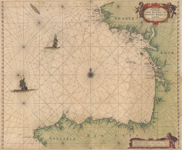
 Abraham Goos, The Bay of Biscay, 1670 c.£ 1,385.00
 -
 Abraham Goos, Coast of Brazil, 1675£ 3,950.00
 -
 Abraham Goos, Canadian Arctic and Hudson Bay, 1680 c.£ 985.00
 -
 Valk & Schenk, Cape Verde Islands, 1690 c.£ 700.00
 -
 Vincenzo Coronelli, Isole Canarie, 1690 c.£ 695.00
 -
 Jeremiah Seller, Chart of the Atlantic and the West Indies, 1703£ 1,750.00
 -
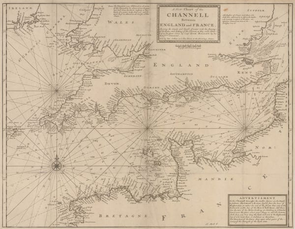
 Herman Moll, A New Chart of the Channell between England and France, 1705 c.£ 625.00
 -
 Samuel Thornton, Chart of Mumbai (Bombay) to Diu Head, 1711£ 1,100.00
 -
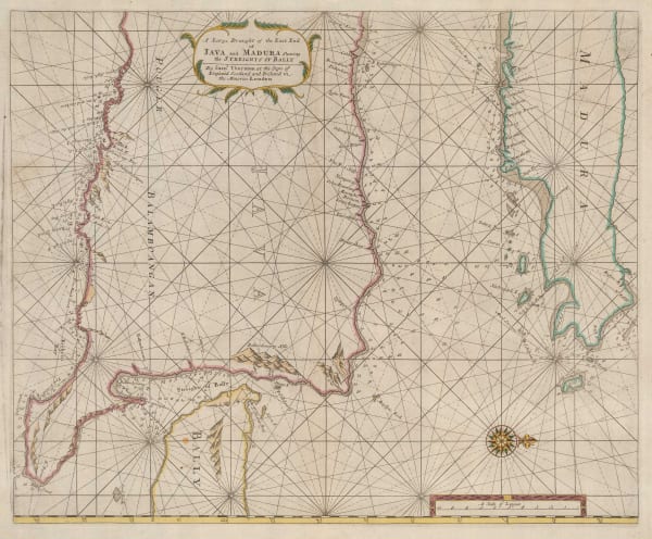
 Samuel Thornton, A Large Draught of the East End of Java and Madura shewing the Streights of Bally, 1711£ 665.00
 -
 Samuel Thornton, A Large Draught of the North Part of China, shewing all the Passages and Chanells into the Harbour of Chusan, 1711£ 650.00
 -
 Samuel Thornton, A Large Draught of the South Part of Borneo, 1711£ 320.00
 -
 Samuel Thornton, A New Chart of the Coast of Orixa and Galconda, 1711£ 450.00
 -
 Samuel Thornton, Chart of the Coast of Barbaria, 1711£ 950.00
 -
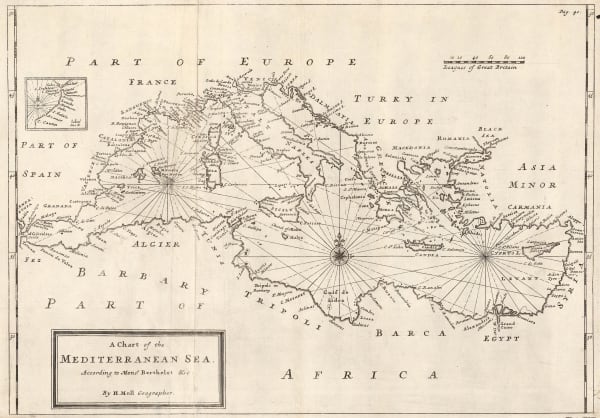
 Herman Moll, A Chart of the Mediterranean Sea, 1720 c.£ 625.00
 -
 George Anson, A Chart of the Channel in the Philippine Islands, through which the Manila Galeon Passes, 1740 c.£ 1,250.00
 -
 Mount & Page, A New and Correct Chart of England, Scotland and Ireland, 1740 c.£ 895.00
 -
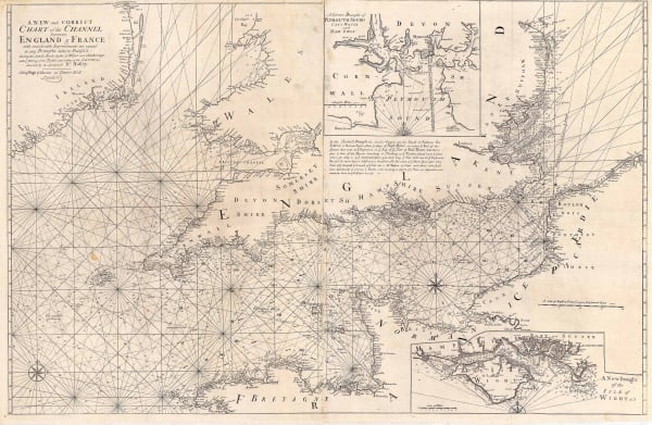
 Mount & Page, A New and Correct Chart of the Channel, 1740 c.£ 1,750.00
 -
 Jacques-Nicolas Bellin, Chart of the Pacific Ocean, 1742£ 3,750.00
 -
 Jacques-Nicolas Bellin, Chart of the Pacific Coast of South and Central America, 1744£ 525.00
 -
 Johann Wolfgang Heydt, Particular See - Charte der Strats Sunda, 1744£ 595.00
 -
 Herman Moll, A General Chart of the Sea Coast of Europe, Africa and America, 1745£ 895.00
 -
 Jacques-Nicolas Bellin, South Atlantic Ocean, 1746£ 395.00
 -
 Emanuel Bowen, Chart of the Atlantic Ocean, 1748£ 825.00
 -
 Mount & Page, Chart of Hispaniola or Haiti and the Dominican Republic, 1750 c.£ 1,750.00
 -
 Mount & Page, English chart of the Caribbean and Gulf of Mexico, 1750 c.£ 4,500.00
 -
 Jonas Hanway, Chart of the Caspian Sea, 1753£ 985.00
 -
 Jacques-Nicolas Bellin, French sea chart of the South Atlantic, 1753£ 985.00
 -
 Jacques-Nicolas Bellin, Chart of the Magellan Straits, 1753£ 165.00
 -
 Jacques-Nicolas Bellin, Portobelo, Panama, 1754£ 175.00
 -
 Jacques-Nicolas Bellin, Carte Réduite Dea Isles Açores, 1755£ 475.00
 -
 Jacques-Nicolas Bellin, Chart of the Bay of Trincomalee (Gokanna or Gokarna), 1757£ 185.00
 -
 Jacques-Nicolas Bellin, French sea chart of the Atlantic Ocean, 1757£ 985.00
 -
 Jacques-Nicolas Bellin, North Atlantic & Scandinavia, 1758£ 395.00
 -
 Jacques-Nicolas Bellin, Carte des Entrees de la Tamise, 1759£ 625.00
 -
 Jacques-Nicolas Bellin, Chart of the Bay of Cadiz, 1762£ 785.00
 -
 Jacques-Nicolas Bellin, Bay and harbour of Brest, 1764£ 115.00
 -
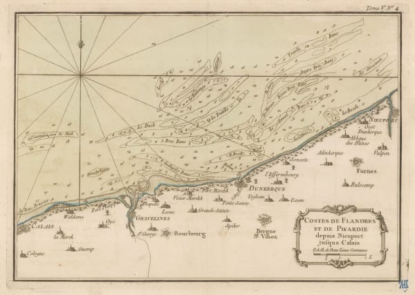
 Jacques-Nicolas Bellin, Dunkirk and environs, 1764£ 62.00
 -
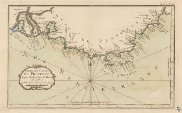
 Jacques-Nicolas Bellin, Coast of Provence from La Crau d'Arles to Nice, 1764£ 195.00
 -
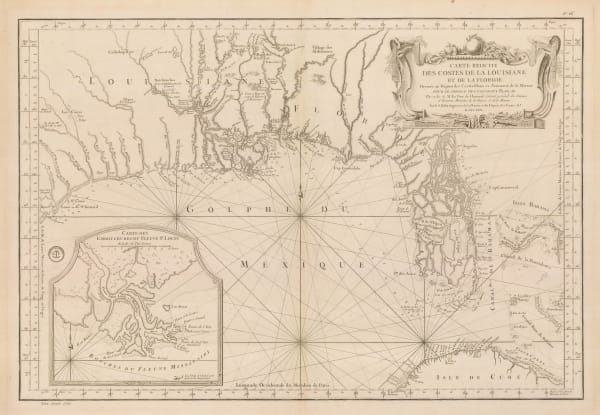
 Jacques-Nicolas Bellin, Florida and Louisiana coast, 1764£ 4,950.00
 -
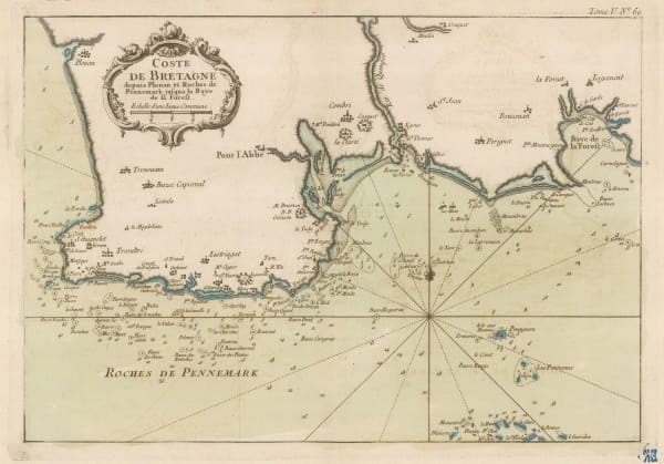
 Jacques-Nicolas Bellin, Coast of Brittany, 1764£ 88.00
 -
 Jacques-Nicolas Bellin, Chart from Calais to Nieuwpoort, 1764£ 65.00
 -
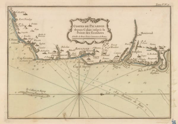
 Jacques-Nicolas Bellin, Picardie coast, 1764£ 62.00
 -
 Jacques-Nicolas Bellin, Le Havre and environs, 1764£ 72.00
 -
 Jacques-Nicolas Bellin, Plymouth & the Tamar, 1764£ 165.00
 -
 Jacques-Nicolas Bellin, Essex, Kent & the Mouth of the Thames, 1764£ 165.00
 -
 Jacques-Nicolas Bellin, Carte Reduite des Costes Occidentales D'Afrique, 1765£ 225.00
 -
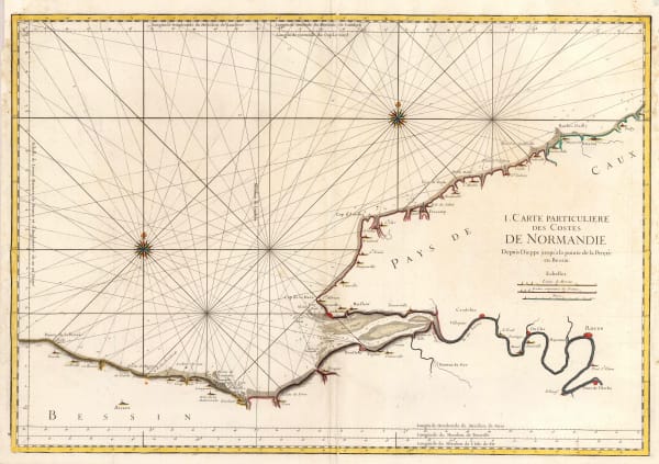
 Jacques-Nicolas Bellin, Coast of Normandy from Dieppe to Bayeux, 1765 c.£ 350.00
 -
 Jacques-Nicolas Bellin, Chart of the Sea of Marmara, 1772£ 985.00
 -
 Jacques-Nicolas Bellin, Chart of the West Indies and Gulf of Mexico, 1774£ 1,950.00
 -
 Thomas Jefferys, Chart of the St Lawrence River, 1775£ 1,250.00
 -
 Sayer & Bennett, Sea Chart of the Atlantic Ocean, 1775£ 675.00
 -
 Sayer & Bennett, Amelia Island, 1776£ 1,800.00
 -
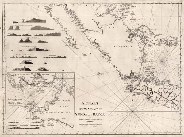
 Robert Sayer, A Chart of the Straits of Sunda and Banca, 1778£ 775.00
 -
 William Faden, Chart of the Coast of the Iberian Peninsula and Western Mediterranean, 1780£ 425.00
 -
 Jacques-Nicolas Bellin, The Bay of Biscay, 1780 c.£ 575.00
 -
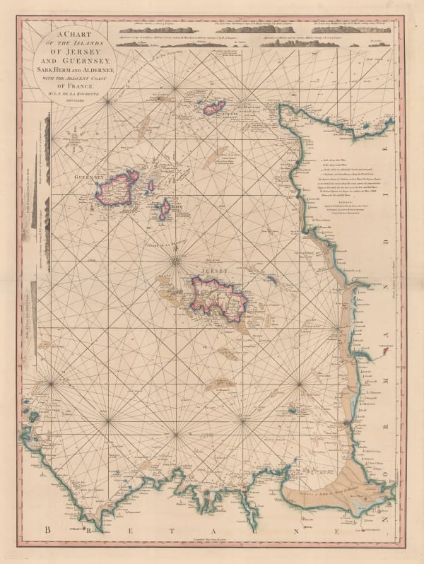
 William Faden, Chart of the Channel Islands, 1781£ 2,250.00
 -
 John Bew, A Map and Chart of the Cape of Good Hope, with the Soundings in Table Bay, False Bay & Saldaniia Bay, 1781£ 595.00
 -
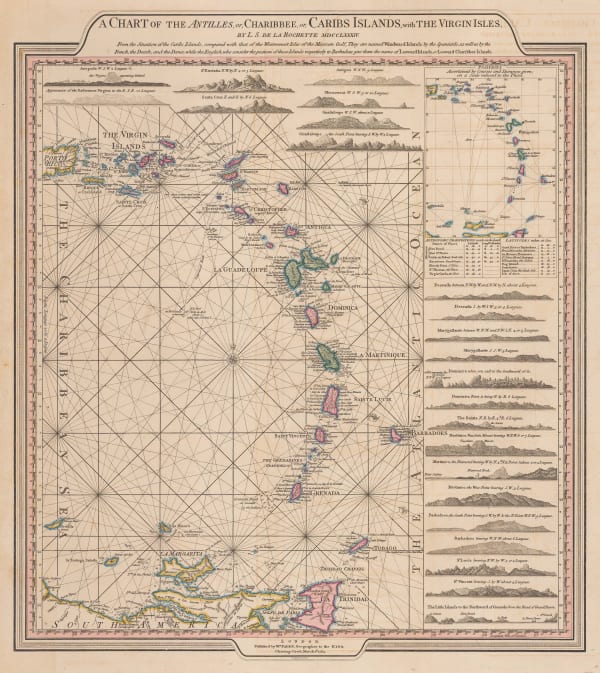
 William Faden, Leeward and Windward Islands, 1784£ 3,650.00
 -
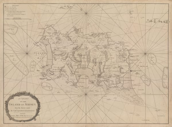
 Robert Sayer, A Chart of the Island of Jersey, 1786£ 1,850.00
 -
 Robert Sayer, A New Hydrographic Sketch of the North, South and Middle Channels, 1786£ 495.00
 -
 Jacques-Nicolas Bellin, Chart of the North Atlantic Ocean, 1786£ 1,200.00
 -
 Jacques-Nicolas Bellin, Chart of Turks and Caicos, 1787£ 1,275.00
 -
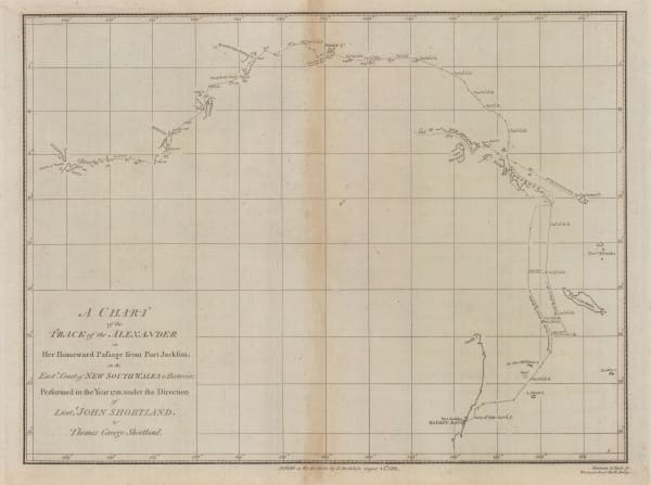
 John Stockdale, Store ship Alexander's voyage from Port Jackson to Batavia, 1789£ 195.00
 -
 John Stockdale, Chart of the Track of the Scarborough from Port Jackson to Guam, 1789£ 245.00
 -
 William Faden, Plan of the Road to Funchal, 1791£ 785.00
 -
 Laurie & Whittle, A Chart of the Coast of India, from Goa to Cape Comorin, 1794£ 1,250.00
 -
 Laurie & Whittle, Madeira & the Canary Islands, 1794£ 925.00
 -
 Laurie & Whittle, A Chart of the Mahe and Amirantes Islands, 1794£ 2,450.00
 -
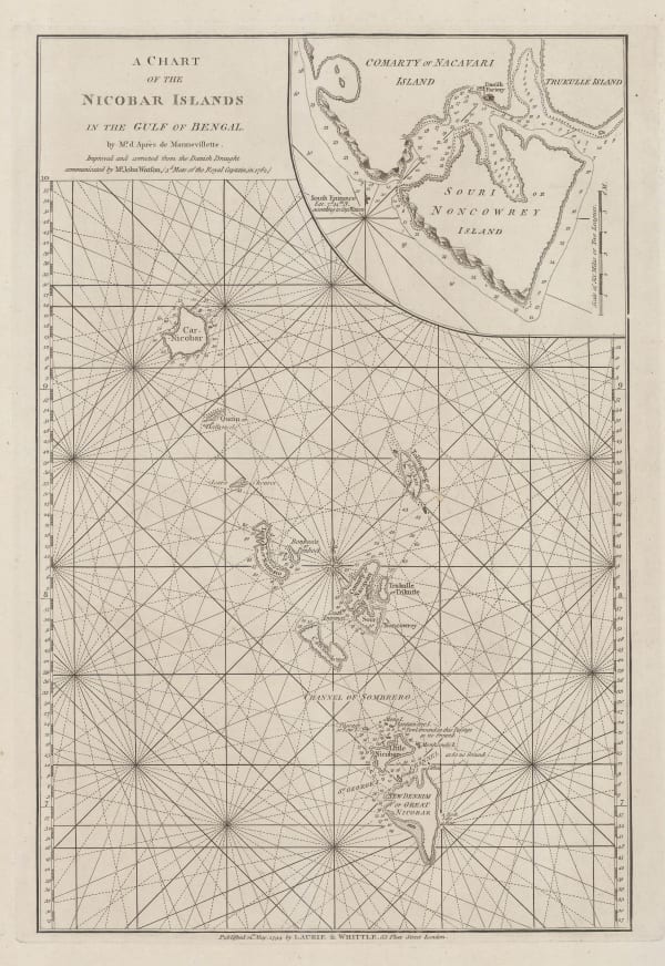
 Laurie & Whittle, A Chart of the Nicobar Islands in the Gulf of Bengal, 1794£ 750.00
 -
 Laurie & Whittle, A Chart of the Northern Part of the China Sea, 1794£ 2,450.00
 -
 Laurie & Whittle, A Chart of the Northern Part of the Indian Ocean, 1794£ 2,850.00
 -
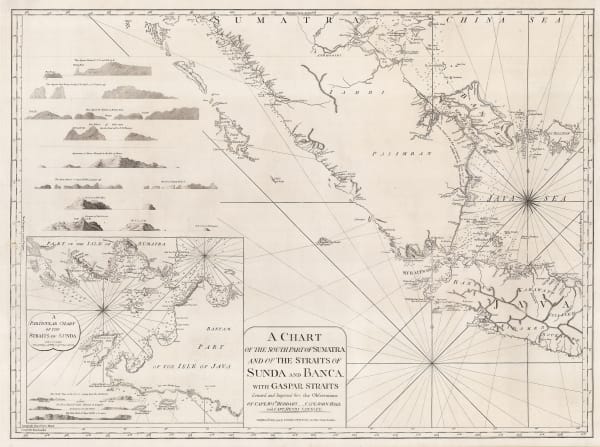
 Laurie & Whittle, A Chart of the Southern Part of Sumatra and of the Straits of Sunda and Banca, 1794£ 925.00
 -
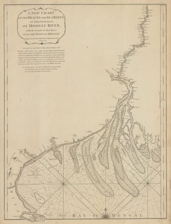
 Laurie & Whittle, Chart of entrance to the Hooghly River, 1794£ 1,650.00
 -
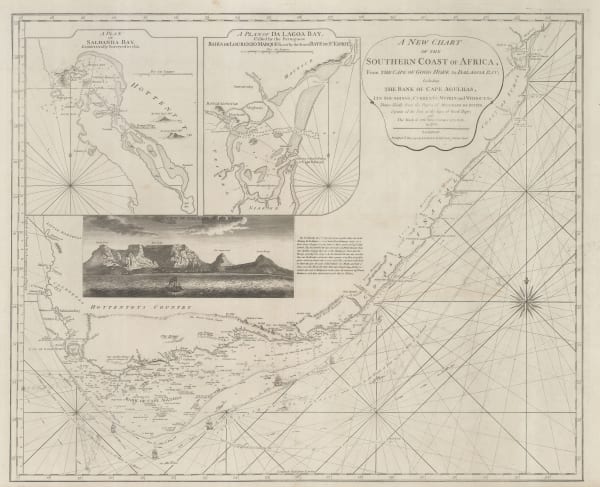
 Laurie & Whittle, A New Chart of the Southern Coast of Africa, 1794£ 3,250.00
 -
 Laurie & Whittle, Chart of the South Atlantic, 1794£ 750.00
 -
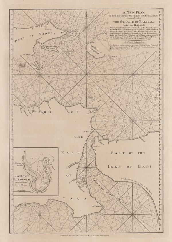
 Laurie & Whittle, Bali Strait, 1794£ 395.00
Page
1
of 5


