-
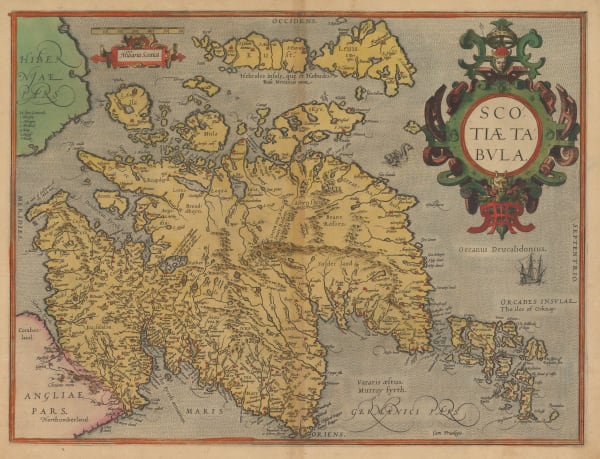
 Abraham Ortelius, Scotiae Tabula, 1573£ 3,750.00
 -
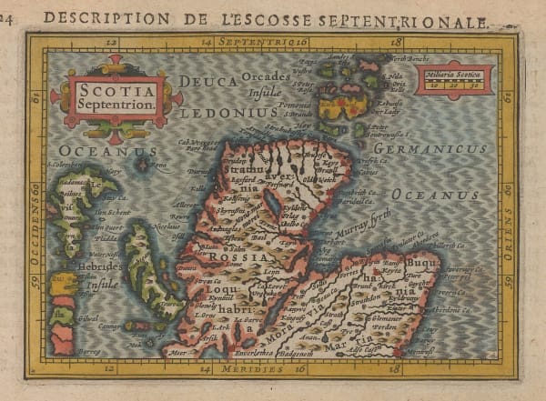
 Petrus Bertius, Description de L'Escosse Septentrionale, 1618£ 245.00
 -
 Mercator Hondius, Northern Scotland, 1620 c£ 950.00
 -
 Mercator Hondius, Southern & Central Scotland, 1620 c£ 950.00
 -
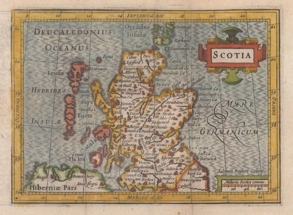
 Petrus Bertius, Scotia, 1620 c.£ 295.00
 -
 Mercator Hondius, Scotiae Tabula II, 1635£ 295.00
 -
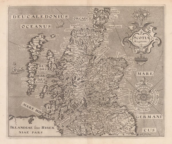
 William Hole, Scotia Regnum, 1637£ 825.00
 -
 William Hole, Scotia Regnum, 1637£ 1,150.00
 -
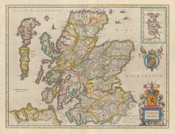
 Willem & Jan Blaeu, Scotia Regnum, 1640 c£ 1,450.00
 -
 Willem & Jan Blaeu, Evia et Escia Scotis Evsdail et Eskdail, 1640 c.£ 450.00
 -

-
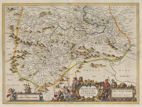
 Willem & Jan Blaeu, Glottiana Praefectvra Svperior, 1653£ 525.00
 -
 Willem & Jan Blaeu, Laudelia sive Lauderdalia, 1653£ 495.00
 -
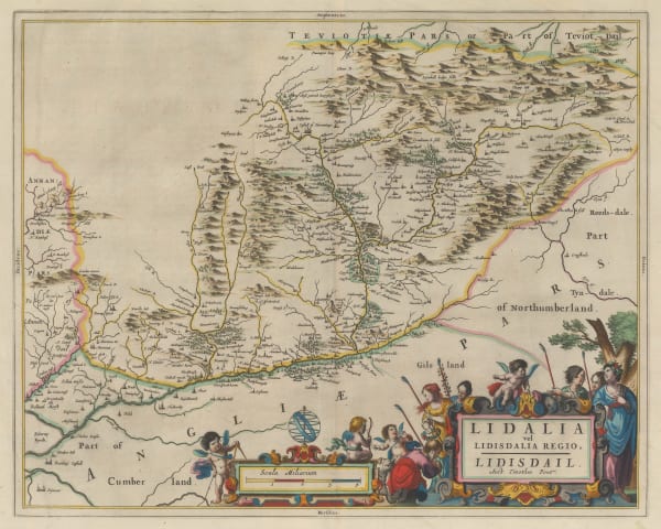
 Willem & Jan Blaeu, Lidalia vel Lidisdalia Regio, Lidisdail, 1653£ 450.00
 -
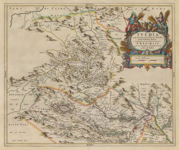
 Willem & Jan Blaeu, Tvedia cum Vicecomitatu Etterico Forestae etiam Selkirkae dictus, 1653£ 450.00
 -
 Jan Blaeu, Annandiae Praefectura, Vulgo The Stewartrie of Annandais, 1654£ 565.00
 -
 Willem & Jan Blaeu, Buthe Insula Vulgo The Yle of Boot, 1654£ 495.00
 -
 Willem & Jan Blaeu, Extima Scotiae Septentrionalis Ora, 1654£ 850.00
 -
 Jan Blaeu, Glottiana Praefectvra Inferior, cvm Baronia Glascvensi, 1654£ 795.00
 -
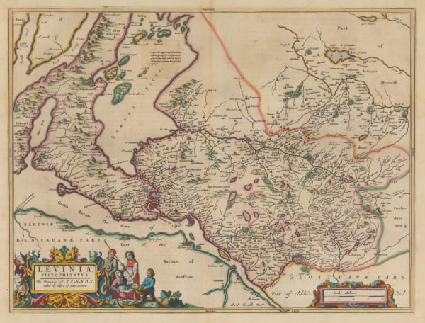
 Jan Blaeu, Levinia, Vice Comitatvs. The Province of Lennox, called the Shyre of Dun-Britton., 1654£ 645.00
 -
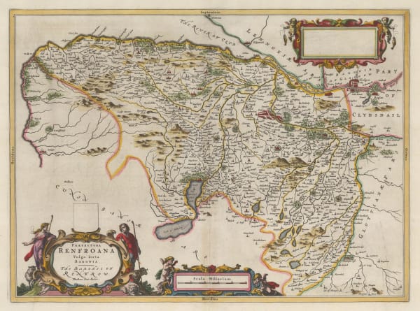
 Willem & Jan Blaeu, Praefectura Renfroana Vulgo dicta Baronia, 1654£ 695.00
 -
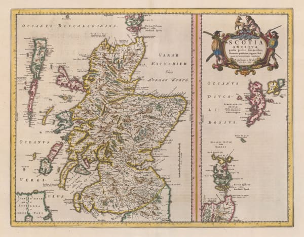
 Willem & Jan Blaeu, Scotia Antiqua, 1654£ 1,450.00
 -
 Jan Blaeu, Strath-Navernia, 1654£ 535.00
 -
 Jan Jansson, Provincae Lauden seu Lothien et Linlitouo, 1666£ 785.00
 -
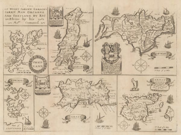
 Richard Blome, Isles of Wight, Channel Islands, Isle of Man, Orkneys and Shetland, 1673£ 265.00
 -
 Richard Blome, A Mapp of the Kingdome of Scotland, 1673£ 1,450.00
 -
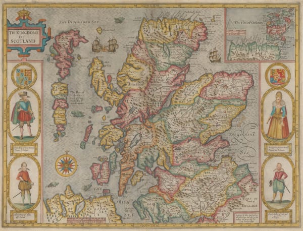
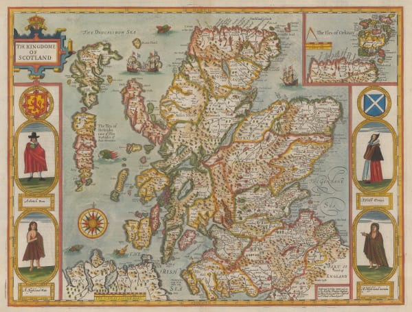
 John Speed, The Kingdome of Scotland, 1676£ 4,250.00
 -
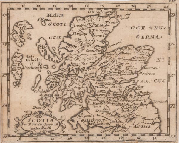
 Pierre Duval, Scotia, 1681£ 245.00
 -
 Alain Manesson Mallet, Ecosse, 1683£ 185.00
 -
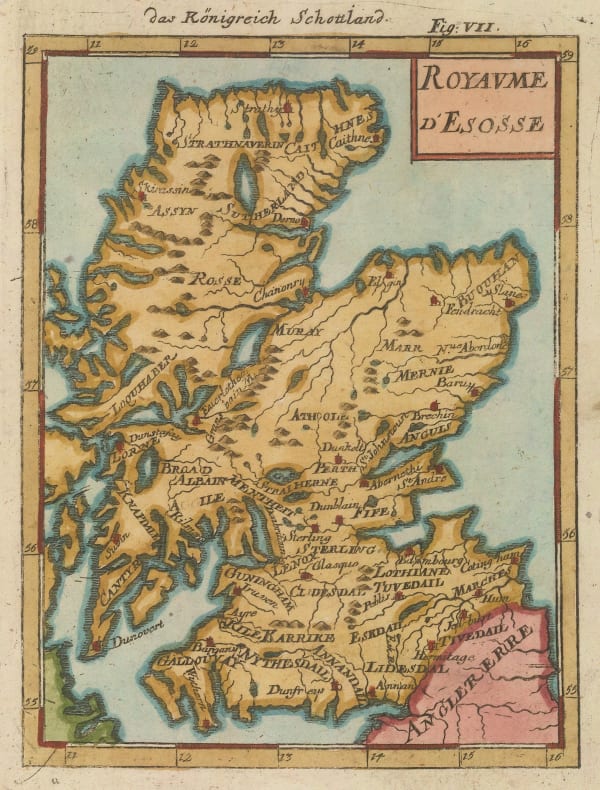
 Alain Manesson Mallet, Royaume d'Ecosse, 1683£ 265.00
 -
 Alexis-Hubert Jaillot, Le Royaume D'Ecosse, 1693£ 1,750.00
 -
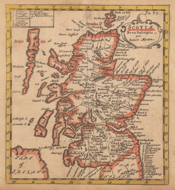
 Robert Morden, Scotiae, 1693£ 345.00
 -
 Herman Moll, Scotland, 1708£ 475.00
 -
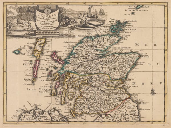
 Pieter van der Aa, L'Ecosse, 1713£ 475.00
 -
 Herman Moll, The North Part of Great Britain Called Scotland, 1714£ 3,250.00
 -
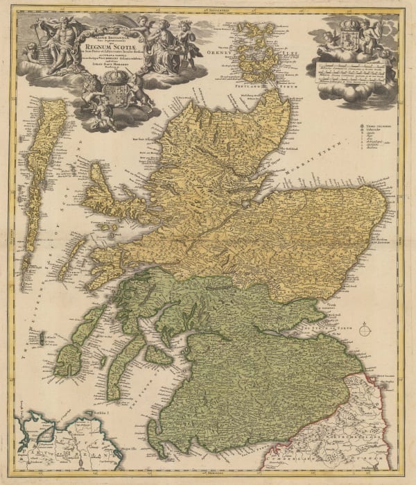
 Johann Baptist Homann, Magnae Britanniae Pars Septenttrionalis qua Regnum Scotiae, 1720 c.£ 795.00
 -
 Herman Moll, North-Britain; Or, Scotland, 1723£ 325.00
 -
 Covens (Jean) & Mortier (Cornelius), L'Ecosse, 1730 c.£ 325.00
 -
 Gerard van Keulen, Chart of the west coast of Scotland , 1734 c£ 1,850.00
 -
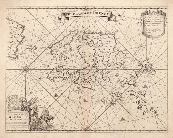
 Capt. Greenvile Collins, The Islands of Orkney, 1740 c.£ 895.00
 -
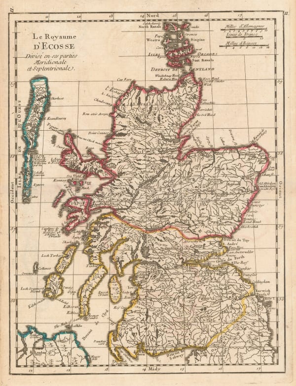
 Georges-Louis Le Rouge, Le Royaume D'Ecosse, 1740 c.£ 295.00
 -
 Herman Moll, A New and Correct Map of Scotland & the Isles, containing all of ye Cities, Market towns, Boroughs &c, the principal Roads, with ye Computed Miles from Town to Town, 1755 c.£ 525.00
 -
![Johannes [II] van Keulen, Nieuwe Generaale Caart von de Orcades, 1760 c.](data:image/gif;base64,R0lGODlhAQABAIAAAAAAAP///yH5BAEAAAAALAAAAAABAAEAAAIBRAA7) Johannes [II] van Keulen, Nieuwe Generaale Caart von de Orcades, 1760 c.£ 685.00
Johannes [II] van Keulen, Nieuwe Generaale Caart von de Orcades, 1760 c.£ 685.00 -
![Johannes [II] van Keulen, Schotlandt, 1760 c.](data:image/gif;base64,R0lGODlhAQABAIAAAAAAAP///yH5BAEAAAAALAAAAAABAAEAAAIBRAA7) Johannes [II] van Keulen, Schotlandt, 1760 c.£ 675.00
Johannes [II] van Keulen, Schotlandt, 1760 c.£ 675.00 -
 London Magazine, A New Map of the County of Sutherlandshire, 1764£ 125.00
 -
 Jacques-Nicolas Bellin, Carte des Isles de Hetland ou Schetland, 1764£ 275.00
 -
 Jacques-Nicolas Bellin, Carte de l'Ecosse, 1764£ 145.00
 -
 Jacques-Nicolas Bellin, Carte des Isles d'Orkney ou Orcades, 1764£ 245.00
 -
 London Magazine, A New Map of Edinburgh Shire, 1768£ 125.00
 -
 London Magazine, A New Map of Linlithgow Shire, 1768£ 125.00
 -
 London Magazine, A New Map of Cathness Shire, 1772£ 125.00
 -
 London Magazine, A New Map of Selkirkshire, 1772£ 125.00
 -
 London Magazine, A New Map of Dumbartonshire, 1773£ 115.00
 -
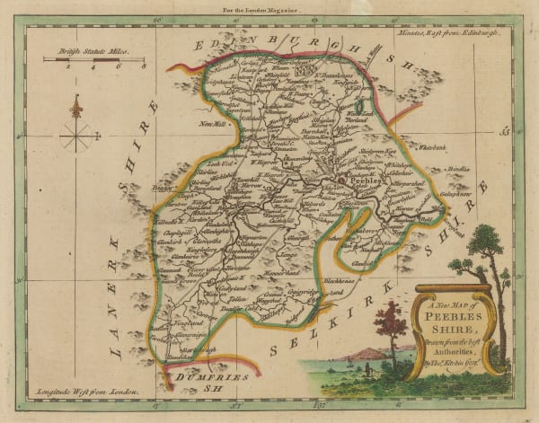
 London Magazine, A New Map of Peebles Shire, 1773£ 85.00
 -
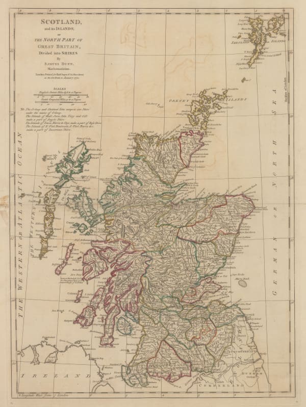
 Samuel Dunn, Scotland and It's Islands; or the north Part of Great Britain, 1774£ 195.00
 -
 John Hamilton Moore, A New and Correct Map of Scotland, 1780 c.£ 175.00
 -
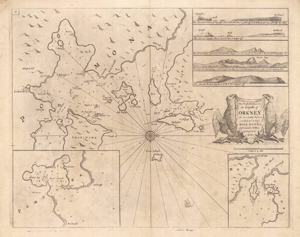
 Capt. Greenvile Collins, The Chief Harbours in the Islands of Orkney, 1785£ 345.00
 -
 Capt. Greenvile Collins, The East Coast of Scotland, 1785£ 445.00
 -
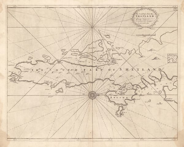
 Capt. Greenvile Collins, The South Part of the Isles of Shetland, 1785£ 385.00
 -
 Capt. Greenvile Collins, Sea Chart of the Harbours of Dundee, Aberdeen & Montrose, 1785£ 495.00
 -
 Capt. Greenvile Collins, Sea Chart of Leith, Edinburgh, 1785£ 575.00
 -
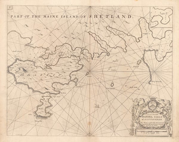
 Capt. Greenvile Collins, Shetland - Lerwick, Bressay & Noss, 1785£ 345.00
 -
 Franz Anton Schraembl, Karte von Scotland, 1787£ 575.00
 -
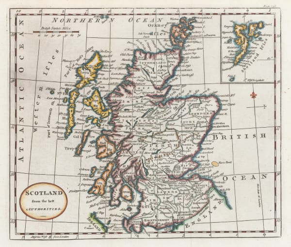
 William Guthrie, Scotland from the best Authorities, 1792£ 115.00
 -
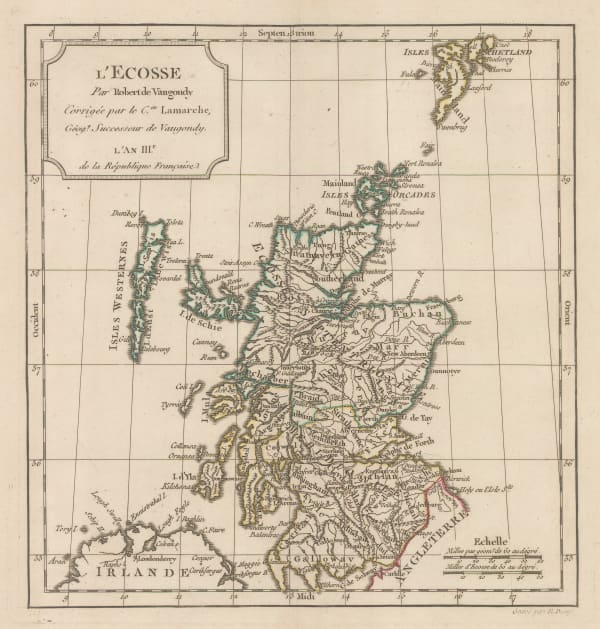
 Charles Francois Delamarche, L'Ecosse, 1795£ 275.00
 -
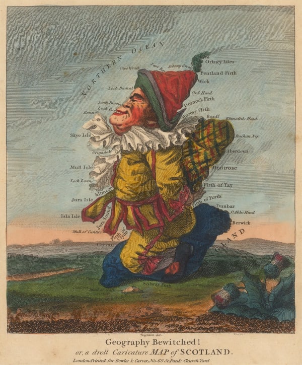
 Robert Dighton, Geography Bewitched! or, a droll Caricature Map of Scotland, 1797£ 4,000.00
 -
 John Ainslie, Scotland drawn and engraved from a series of Angles and Astronomical Observations, 1800£ 4,500.00
 -
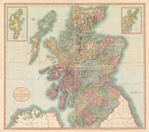
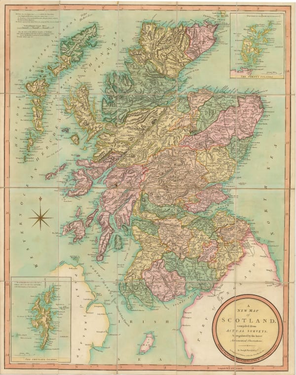
 John Cary, A New Map of Scotland, 1801£ 1,550.00
 -
 William Heather, Heather's New and Improved Chart of the Orkney Isles. Drawn from the Most Accurate Surveys., 1804£ 1,650.00
 -
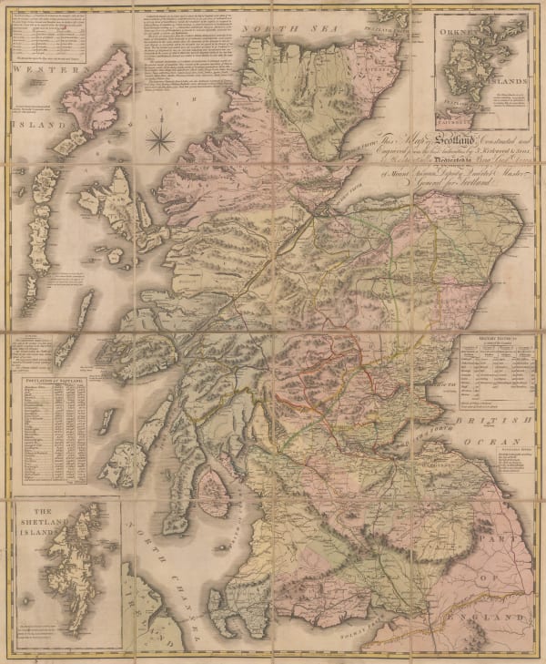
 James Kirkwood & Sons, Kirkwood & Sons' Travelling Map of Scotland, 1804£ 975.00
 -
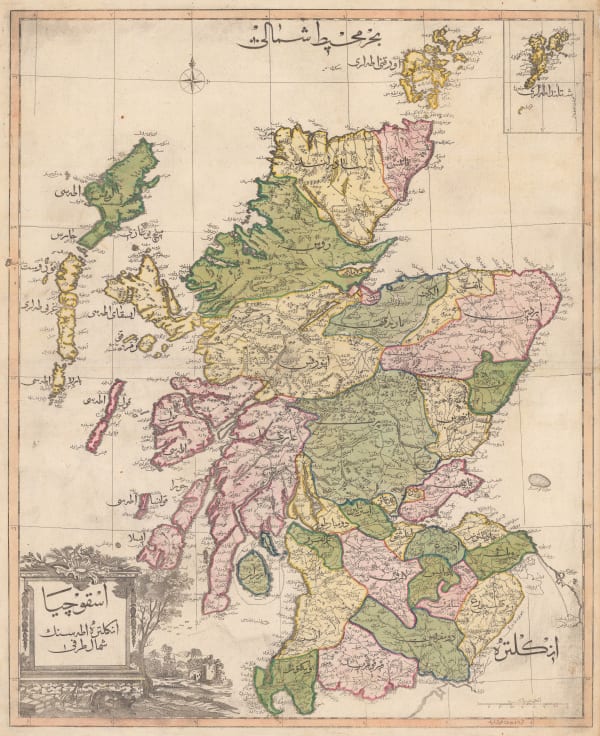
 Mahmoud Raif Efendi, Rare Ottoman Map of Scotland, 1804£ 4,450.00
 -
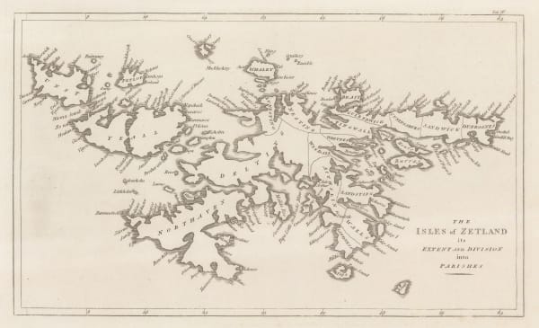
 John Cary, The Isles of Zetland, 1805£ 125.00
 -
 William Faden, Scotland with its Islands, 1813£ 950.00
 -
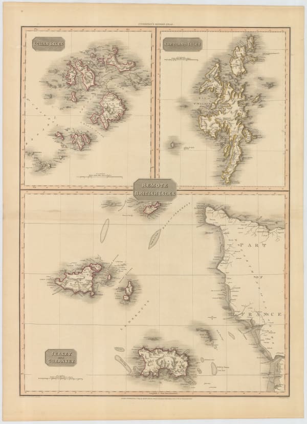
 John Pinkerton, Scilly Isles, Shetland and Channel Islands, 1814£ 225.00
 -
 John Bowles, Rare view of 17th century Edinburgh, 1814 (c.)£ 3,500.00
 -
 Richard Holmes Laurie, A New Map of Scotland, 1821£ 575.00
 -
 John Thomson, Berwickshire, 1821£ 375.00
 -
 John Thomson, Kircudbright-shire (North Sheet), 1821£ 325.00
 -
 John Thomson, Kirkcudbright-Shire, 1821£ 595.00
 -
 John Thomson, Peebles-shire, 1821£ 375.00
Page
1
of 3



















![Johannes [II] van Keulen, Nieuwe Generaale Caart von de Orcades, 1760 c.](https://artlogic-res.cloudinary.com/w_600,c_limit,f_auto,fl_lossy,q_auto/artlogicstorage/themaphouse/images/view/bfbbfe45b2f627581400a21685aee561j/themaphouse-johannes-ii-van-keulen-nieuwe-generaale-caart-von-de-orcades-1760-c..jpg)
![Johannes [II] van Keulen, Schotlandt, 1760 c.](https://artlogic-res.cloudinary.com/w_600,c_limit,f_auto,fl_lossy,q_auto/artlogicstorage/themaphouse/images/view/14be75c40dc33491d8eed533e0a20082j/themaphouse-johannes-ii-van-keulen-schotlandt-1760-c..jpg)


