-
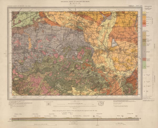
 Ordnance Survey, Geological Survey of England and Wales, 1920£ 150.00
 -
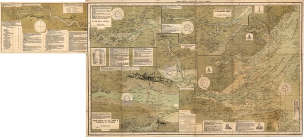
 E.L. Dixon, Geological Map of the Coalfields of South Wales, 1920 c.£ 150.00
 -
 James Reynolds, Reynolds's New Chart of the Thames Estuary, 1923£ 265.00
 -
 Ordnance Survey, Geological Map of the British Isles, 1924£ 885.00
 -
 James Imray, Mouth of the River Thames, 1924£ 525.00
 -
 Ordnance Survey, Geological Survey of England and Wales, 1925£ 120.00
 -
 British Admiralty, Guernsey, Herm and Sark, 1927£ 675.00
 -
 British Admiralty, Island of Jersey, 1927£ 675.00
 -
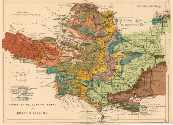
 Edward Stanford, Dorsetshire, Somersetshire and South Wiltshire, 1928£ 56.00
 -
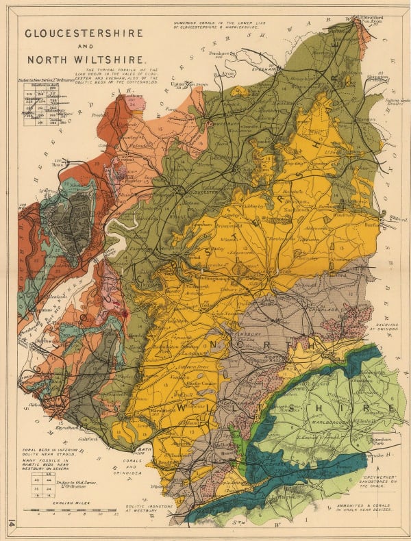
 Edward Stanford, Gloucestershire and North Wiltshire, 1928£ 48.00
 -
 Edward Stanford, Hampshire, 1928£ 52.00
 -
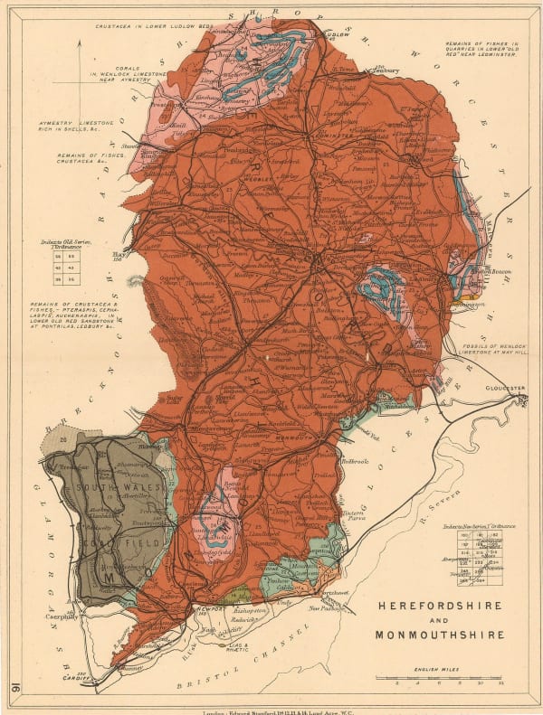
 Edward Stanford, Herefordshire and Monmouthshire, 1928£ 28.00
 -
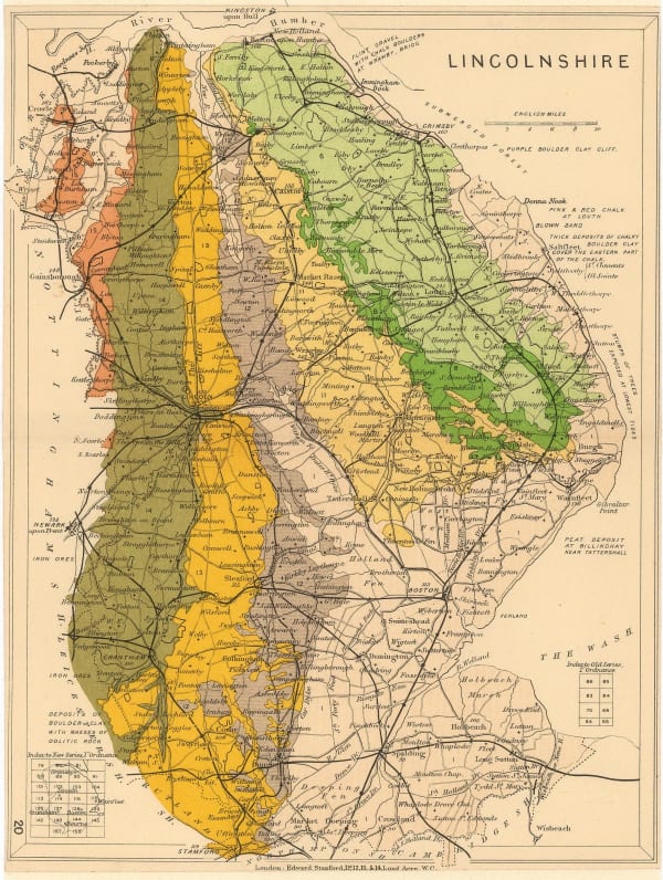
 Edward Stanford, Lincolnshire, 1928£ 36.00
 -
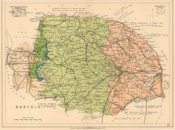
 Edward Stanford, Norfolk, 1928£ 42.00
 -
 Edward Stanford, Northumberland, 1928£ 28.00
 -
 Edward Stanford, Suffolk, 1928£ 42.00
 -
 British Admiralty, The Channel Islands and Adjacent Coasts of France, 1928£ 675.00
 -
 French Admiralty, French chart of Guernsey, Herm and Sark, 1930£ 675.00
 -
 Ernest Dudley Chase, A Pictorial Map of the British Isles, 1935£ 950.00
 -
 Edward Stanford, Chart of the Thames Estuary, 1936£ 345.00
 -
 War Office, Air Services of the British Isles, 1937£ 395.00
 -
 S.P.K., Vichy French Churchill Octopus Map, 1942£ 2,500.00
 -
 Anonymous, Portuguese WW2 Propaganda, 1943 c.£ 650.00
 -

-

-
 F. Mahon-Brown, Jersey, 1948£ 450.00
 -
 Ordnance Survey, Cirencester, 1952£ 120.00
 -
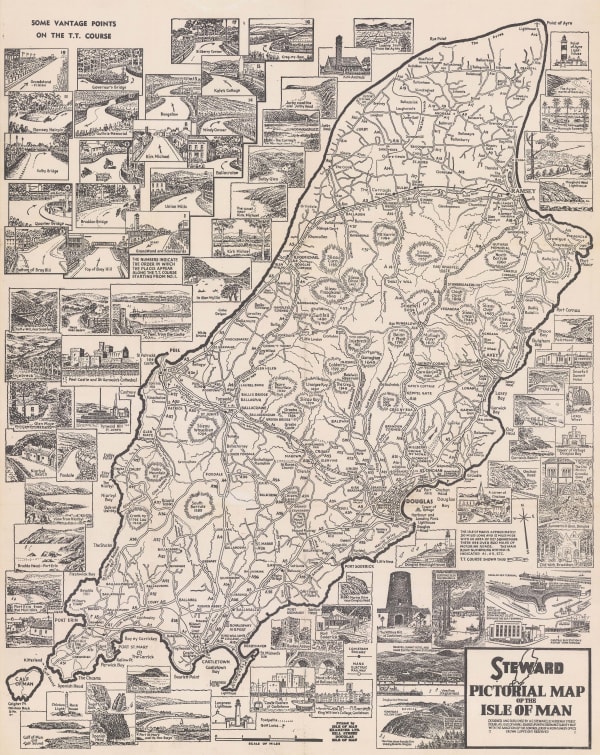
 H. G. Steward, Pictorial Map of the Isle of Man, 1960 c.£ 100.00
Page
3
of 3

