-

-
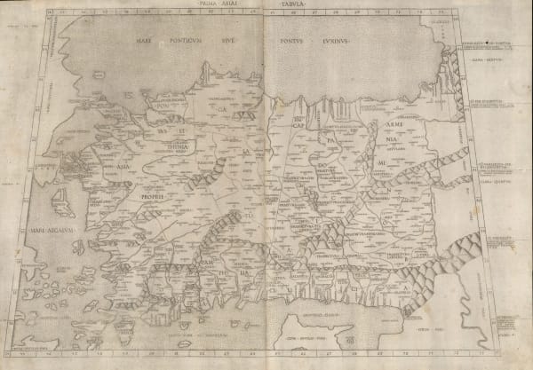
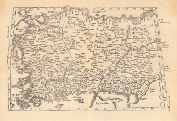
 Claudius Ptolemy & Laurent Fries, Ptolemaic woodcut map of Anatolia, Turkey, 1541£ 2,650.00
 -
 Abraham Ortelius, Ottoman (Turkish) Empire, 1592£ 3,950.00
 -
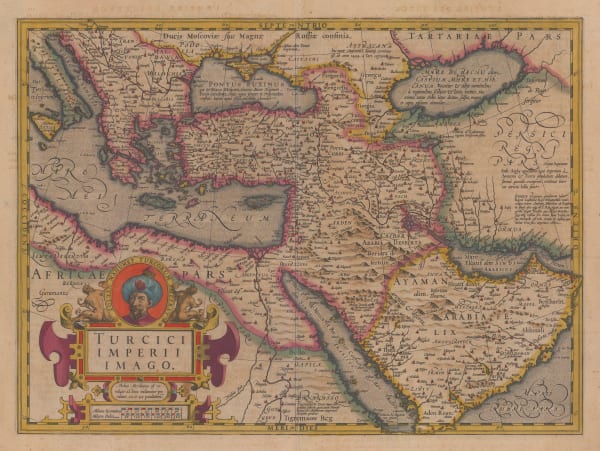
 Mercator Hondius, Dutch Golden Age map of the Middle East , 1620 c.£ 2,750.00
 -
 Samuel Purchas, Early map of Turkey, 1625£ 265.00
 -
 Jan Jansson, Turkey or Asia Minor, 1661£ 195.00
 -
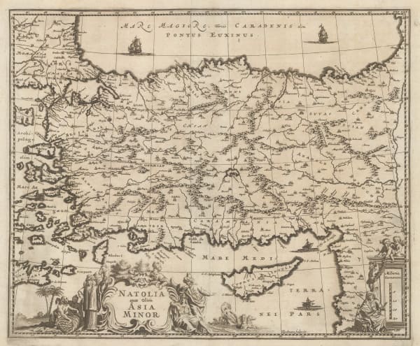
 Olfert Dapper, Anatolia and Cyprus at the height of Ottoman rule, 1681£ 525.00
 -
 Giovanni Giacomo Rossi, Anatolia (Turkey) and Cyprus, 1686£ 485.00
 -
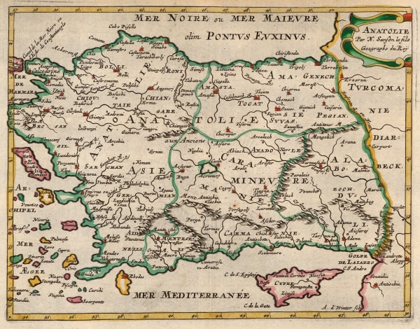
 Nicolas & Guillaume Sanson, Anatolia (Turkey) and Cyprus, 1692£ 225.00
 -
 Nicolas & Guillaume Sanson, Ottoman empire or Turkey, Syria, the Levant and Caucasus, 1692£ 345.00
 -
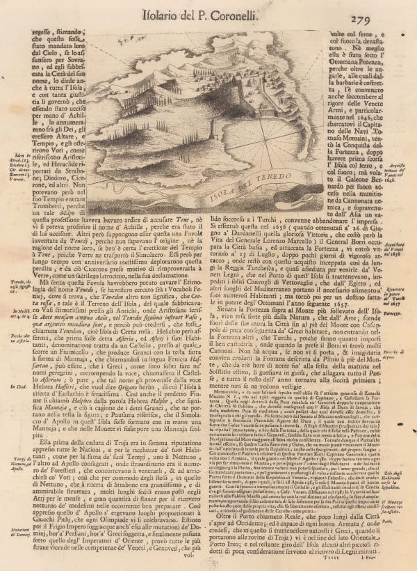
 Vincenzo Coronelli, Tenedos / Bozcaada Island, 1696£ 425.00
 -
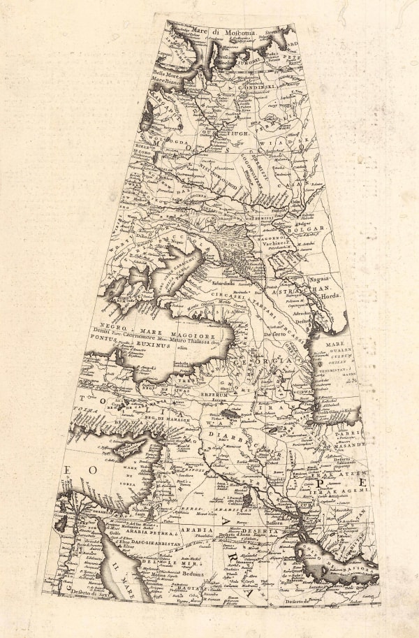
 Vincenzo Coronelli, Globe Gore with the Middle East, Caucasus, and Russia, 1696£ 1,750.00
 -
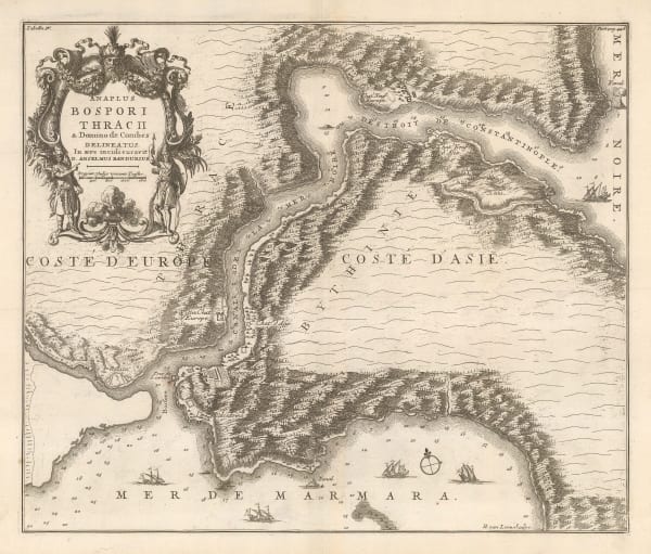
 Nicolas & Guillaume Sanson, Rare map of the Bosphorous, 1711£ 1,950.00
 -
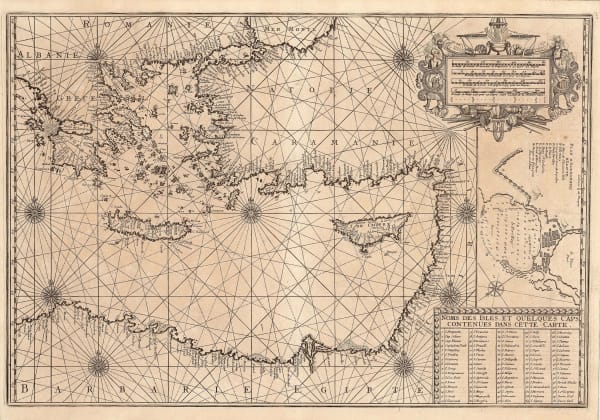
 Henri Michelot and Laurent Brémond, Eastern Mediterranean Sea Chart, 1726£ 2,650.00
 -
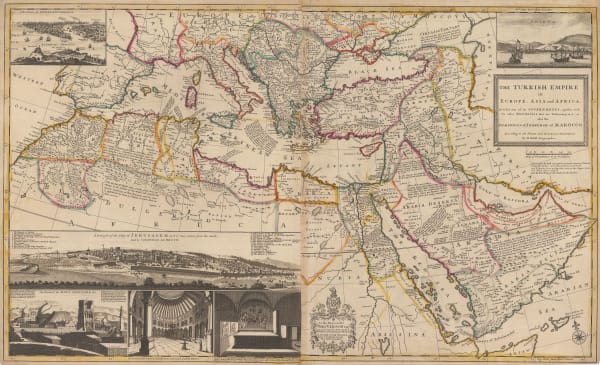
 Herman Moll, The Turkish Empire in Europe, Asia and Africa, 1730 c£ 4,450.00
 -
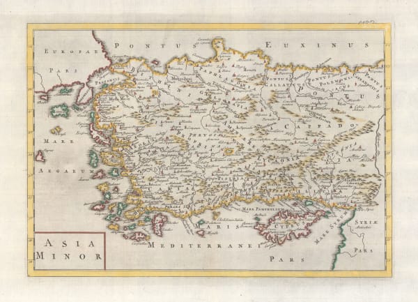
 Herman Moll, Asia Minor / Turkey, 1745£ 345.00
 -
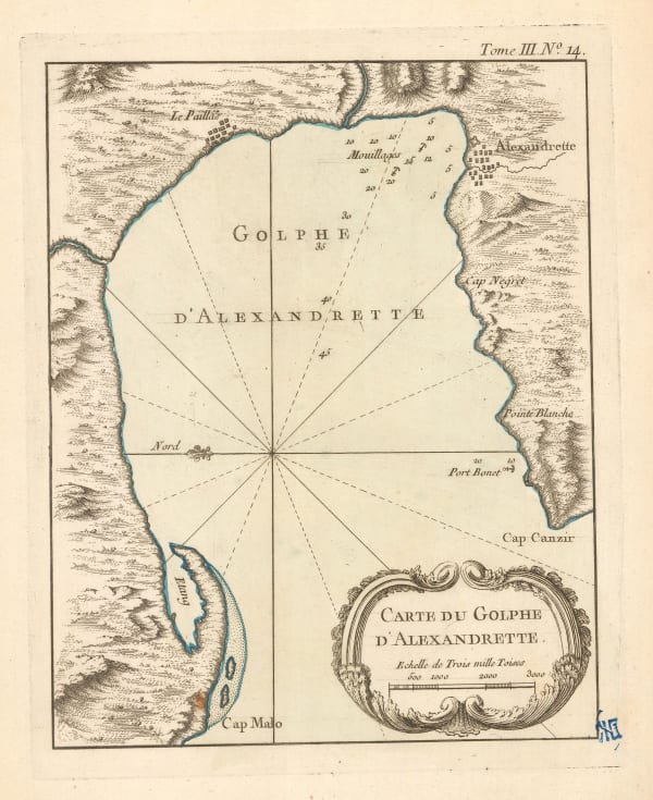
 Jacques-Nicolas Bellin, Chart of the Gulf of İskenderun, 1750£ 65.00
 -
 Jacques-Nicolas Bellin, Chart of the Black Sea, Istanbul and the Bosphorus, 1764£ 245.00
 -
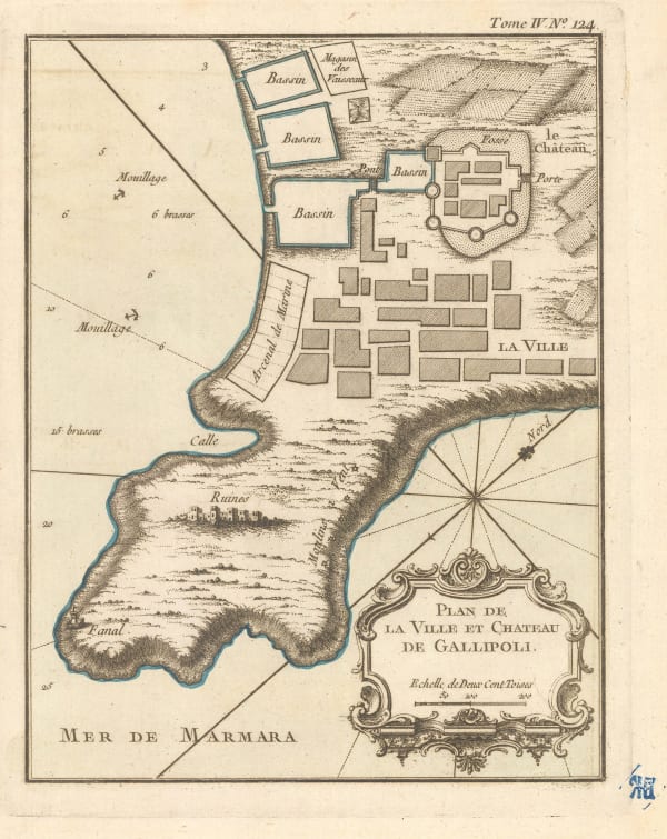
 Jacques-Nicolas Bellin, Town plan of Gallipoli, 1764£ 42.00
 -
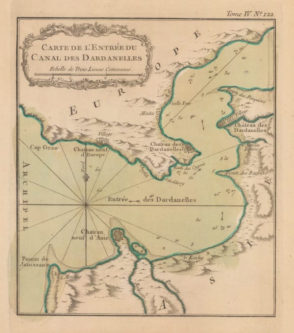
 Jacques-Nicolas Bellin, Dardanelles, 1764£ 195.00
 -
 Jacques-Nicolas Bellin, Chart of the Sea of Marmara, 1772£ 985.00
 -
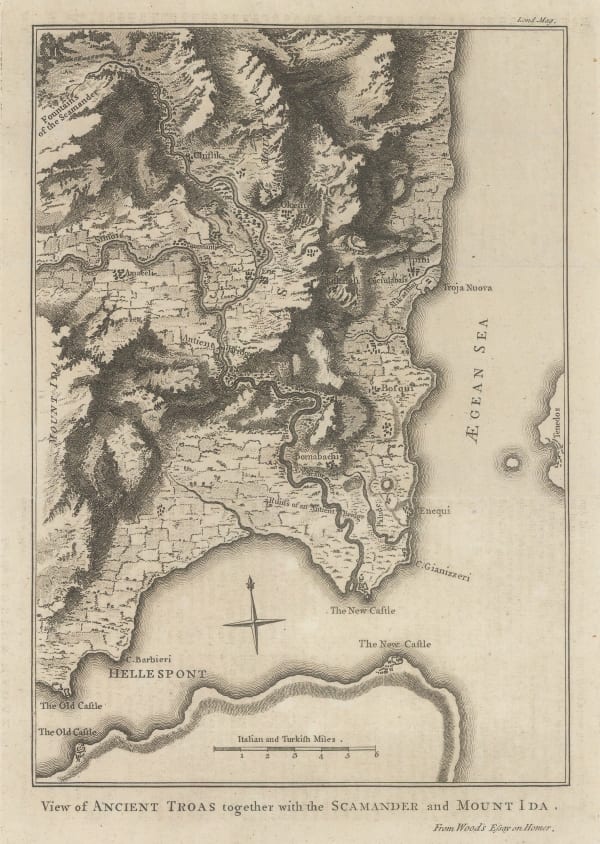
 London Magazine, View of Ancient Troas together with the Scamander and Mount Ida, 1775£ 175.00
 -
 Francois Santini, Anatolia, Turkey divided into its provinces, 1779£ 325.00
 -
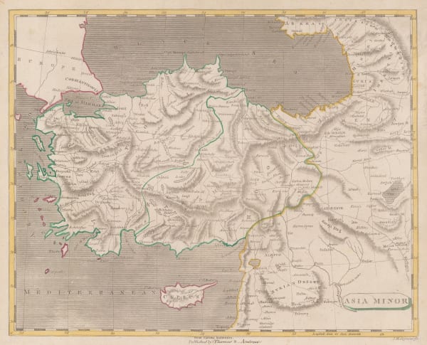
 Thomas and Andrews, Asia Minor, 1805£ 145.00
 -
 Rest Fenner, Asia Minor, 1836£ 65.00
 -
 A.D. Noel and Louis Vivian de St. Martin, Ottoman Empire, 1840£ 3,250.00
 -
 John Arrowsmith, Asia Minor or Turkey, 1842£ 445.00
 -
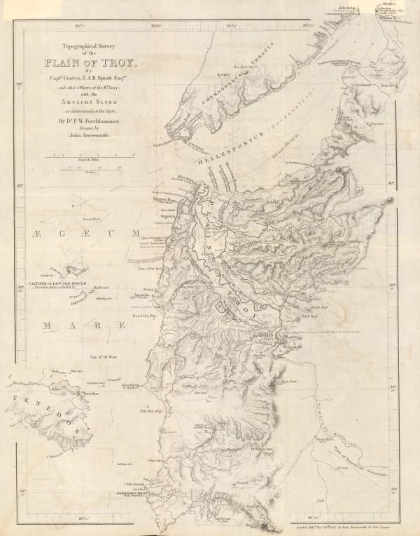
 Royal Geographical Society (RGS), Topographical Survey of the Plain of Troy with the Ancient Sites, 1842£ 380.00
 -
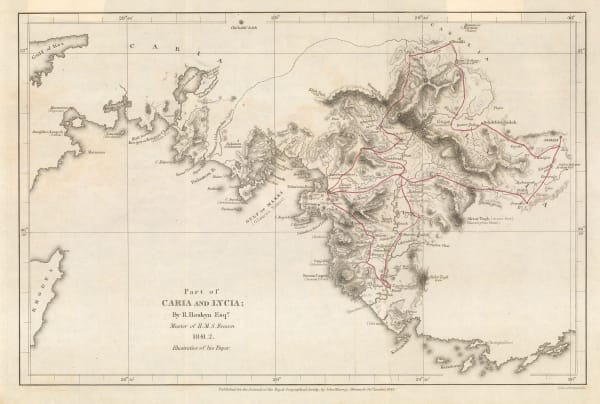
 Royal Geographical Society (RGS), Part of Caria and Lycia / Muğla Province, 1843£ 115.00
 -
 Gall & Inglis, Turkey and Cyprus, 1850£ 75.00
 -
 Joseph Meyer, Anatolia (Turkey) in extraordinary detail, 1850 c.£ 425.00
 -
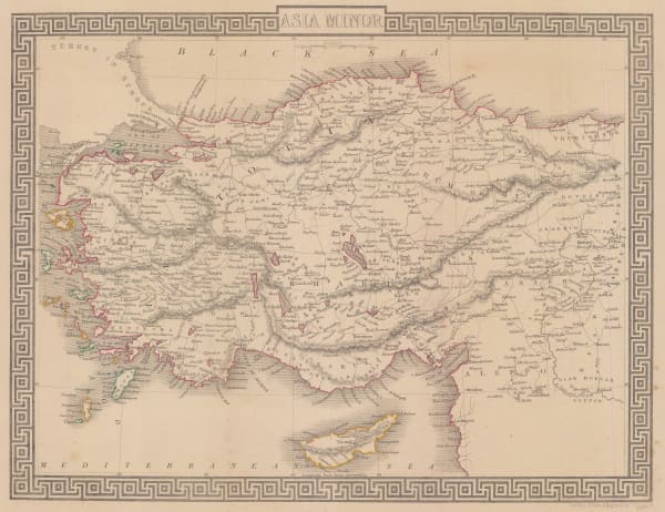
 John Tallis, Turkey in Asia, 1851£ 225.00
 -
 Willmer & Rogers, A New Map of the Frontier Provinces of Turkey, Russia & Austria, the Black Sea &c, 1854£ 550.00
 -
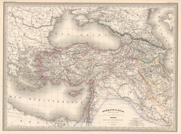
 Auguste-Henri Dufour, Turkey, Syria, Iraq, Cyprus, the Levant and the Black Sea, 1860£ 225.00
 -
 John Rapkin, Anatolia (Turkey) Cyprus and Rhodes, 1860 c.£ 82.00
 -
 John Dower, Turkey, Syria, Iraq, Cyprus, and the Levant, 1860 c.£ 88.00
 -
 Society for the Diffusion of Useful Knowledge (SDUK), Turkey (Anatolia) divided into provinces and Cyprus, 1870 c.£ 115.00
 -
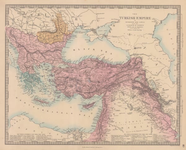
 Society for the Diffusion of Useful Knowledge (SDUK), The Turkish Empire in Europe and Asia, 1875£ 295.00
 -
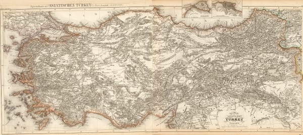
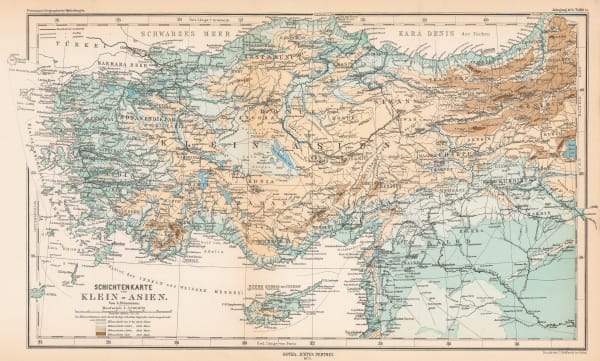
 Justus Perthes, Asia Minor, 1875£ 145.00
 -
 Letts & Son, Turkey & the Balkans, 1878£ 850.00
 -
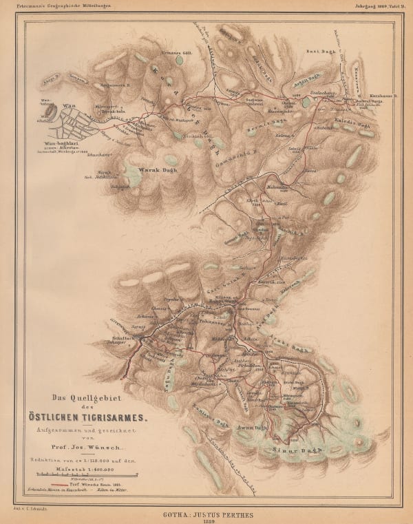
 Justus Perthes, Source of the eastern arm of the Tigris River., 1889£ 85.00
 -
 Arbuckle Brothers Company, Turkey, 1889£ 75.00
 -
 Justus Perthes, Asia Minor, 1892£ 165.00
 -
 Edward Stanford, The Dardanelles and the Troad, 1896£ 145.00
 -
 Royal Geographical Society (RGS), Map of Asia Minor, 1902£ 225.00
 -
 George Philip & Son Ltd., Balkan States & Asia Minor: Industries & Communications, 1910 c.£ 125.00
 -
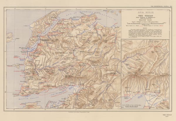
 Royal Geographical Society (RGS), The Troad / Biga Peninsula, 1912£ 135.00
 -
 Geographical Section, General Staff (GSGS), Izmir (Smyrna), 1916£ 395.00
 -
 British Admiralty, Smyrna Harbour, 1926£ 985.00
 -
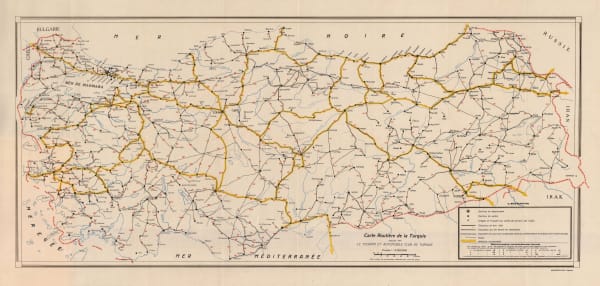
 Basimevi Emel, Road map of Turkey, 1930 c.£ 125.00
 -
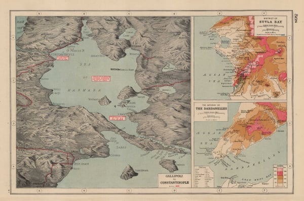
 Harmsworth, Gallipoli and Suvla Bay, 1930 c.£ 65.00
 -
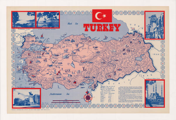
 Turkish Info Office, Turkey, 1950 c.£ 950.00
 -
 General Directorate of Highways, Ankara, 1960 c£ 395.00
Close
Search Inventory
Our entire inventory of over 10,000 antique and vintage maps is now available to browse by region, date, cartographer, and subject

