-
 Carsten Niebuhr, Detailed map of Oman, 1770 c£ 985.00
 -
Tobias & Gustav Lotter, Yemen, 1774 c.£ 1,250.00
-
Carsten Niebuhr, Port of Qishn, Yemen, 1779£ 195.00
-
Carsten Niebuhr, Yemen, 1779£ 985.00
-
Antonio Zatta, L'Arabia, 1784£ 795.00
-
Philippe Vandermaelen, Southern Arabia and Yemen, 1827£ 545.00
-
Royal Geographical Society (RGS), Sketch of The Northern Route from Mokha to Sana, 1838£ 115.00
-
Royal Geographical Society (RGS), Sketch of The Kuria-Muria Islands., 1842£ 68.00
-
Society for the Diffusion of Useful Knowledge (SDUK), Arabia with Egypt, Nubia and Abyssinia, 1843£ 595.00
-
Survey of Part of the South East Coast of Arabia, 1847Royal Geographical Society (RGS)Series: LondonRoyal Geographical Society (RGS), Survey of Part of the South East Coast of Arabia, 1847£ 145.00
-
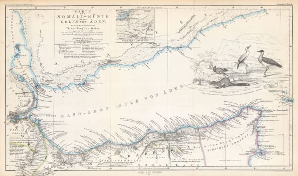
Justus Perthes, Gulf of Aden, 1860£ 225.00
-
Edward Weller, Arabia, 1863£ 375.00
-
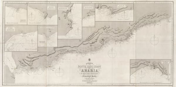
British Admiralty, Chart of the South East Coast of Arabia, 1865£ 3,500.00
-
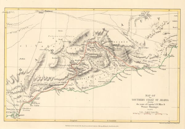
Royal Geographical Society (RGS), Map of the Southern Coast of Arabia, 1872£ 135.00
-
Justus Perthes, Yemen, 1872£ 245.00
-
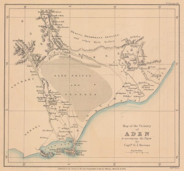
Royal Geographical Society (RGS), Map of the Vicinity of Aden, 1873£ 175.00
-
Richard Holmes Laurie, Chart of the Port of Aden, 1882£ 48.00
-
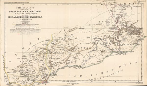
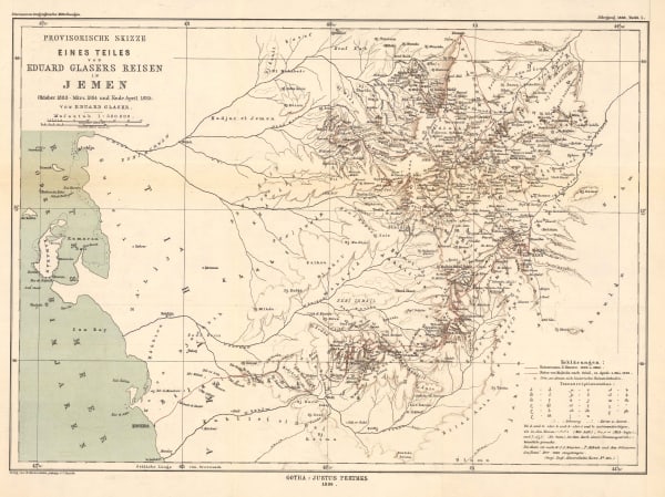
Justus Perthes, North-western Yemen, 1886£ 285.00
-
Royal Geographical Society (RGS), Sketch Map of the Wadi Tyin in Oman, 1896£ 245.00
-
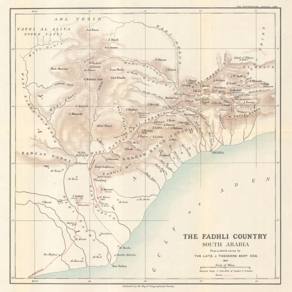
Royal Geographical Society (RGS), The Fadhli Country, 1898£ 395.00
-
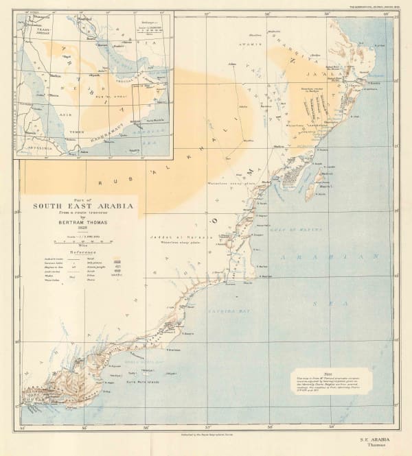
Royal Geographical Society (RGS), Part of South East Arabia, 1929£ 140.00
-
Royal Geographical Society (RGS), Arabia - Sketch map of Hadhramaut, 1931£ 145.00
-
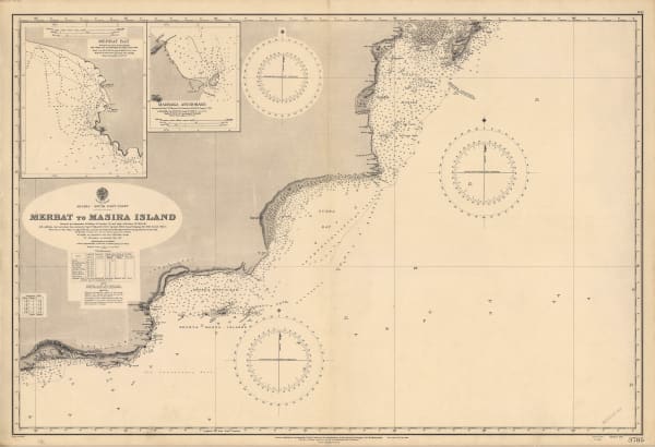
British Admiralty, Merbat to Masira Island., 1931£ 1,550.00
-
British Admiralty, Chart of the South Arabian coast, 1931£ 1,550.00
-
Royal Geographical Society (RGS), Aden Protectorate: Route traverse through the Hadhramaut from Mukalla to Seihut, 1934, 1936£ 245.00
-
British Admiralty, Arabian Sea, 1937£ 1,565.00
-
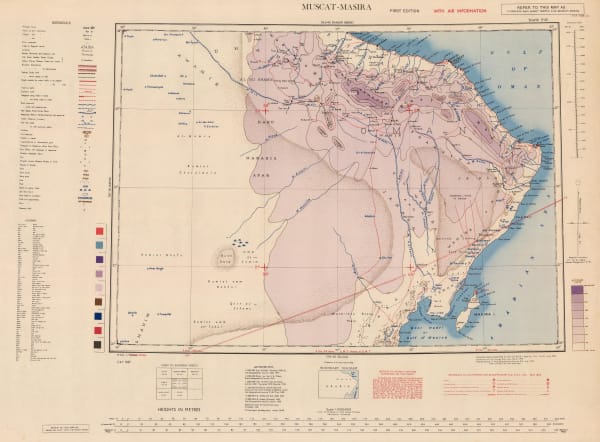
Geographical Section, General Staff (GSGS), Muscat-Masira, 1945£ 845.00
-
Royal Geographical Society (RGS), Southern Arabia, 1946£ 785.00
Close
Search Inventory
Our entire inventory of over 10,000 antique and vintage maps is now available to browse by region, date, cartographer, and subject


Join our mailing list
* denotes required fields
We will process the personal data you have supplied to communicate with you in accordance with our Privacy Policy. You can unsubscribe or change your preferences at any time by clicking the link in our emails.
![]()
Join our mailing list
* denotes required fields
We will process the personal data you have supplied to communicate with you in accordance with our Privacy Policy. You can unsubscribe or change your preferences at any time by clicking the link in our emails.