-
 Hartmann Schedel, Early incunable woodcut view of Damascus , 1493£ 750.00
 -
Claudius Ptolemy & Laurent Fries, Ptolemaic woodcut map of the Levant, Syria, Cyprus, and Iraq, 1541£ 4,500.00
-
Martin Waldseemüller & Laurent Fries, Woodcut map of the Holy Land, 1541£ 3,250.00
-
Antoine Du Pinet, Wood-cut view of the fortress at Acre, Israel, 1564£ 345.00
-
Georg Braun & Frans Hogenberg, Damascus, 1575£ 1,950.00
-
Abraham Ortelius, Holy Land, 1598£ 275.00
-
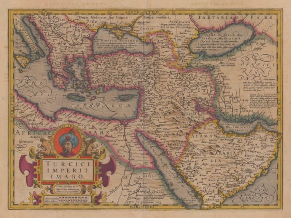
Mercator Hondius, Dutch Golden Age map of the Middle East , 1620 c.£ 2,750.00
-
Samuel Purchas, Holy Land during Biblical times, 1625£ 395.00
-
Jan Jansson, Dutch Golden Age map of the Holy Land, 1661£ 295.00
-
C. & N. Visscher, Holy Land, 1665 c£ 750.00
-
-
John Speed, Famous map of the Holy Land with Biblical vignettes, 1676£ 3,950.00
-
Robert Morden, Miniature map of the Holy Land, 1688£ 345.00
-
Johann Ulrich Muller, Early miniature map of the Holy Land, 1692£ 220.00
-
Romeyn De Hooghe, Unusual map of the Middle East illustrating Biblical geography, 1700 c.£ 825.00
-
Valk & Schenk, Lebanon and Syria, 1700 c.£ 825.00
-
John Senex, Map of the Garden of Eden or the Levant, Arabia, Egypt and the Nile, 1711£ 395.00
-
Covens (Jean) & Mortier (Cornelius), Holy Land, 1730 c.£ 425.00
-
-
Carington Bowles, A Map of the Land of Canaan or Holy Land, 1760£ 475.00
-
Jacques-Nicolas Bellin, Acre & Haifa, Israel, 1764£ 115.00
-
Jacques-Nicolas Bellin, Tripoli, Lebanon, 1764£ 125.00
-
Jacques-Nicolas Bellin, Syria, Lebanon, Israel & Palestine, 1764£ 375.00
-
Jacques-Nicolas Bellin, Sidon, Lebanon, 1764£ 145.00
-
Jacques-Nicolas Bellin, Tyre, Lebanon, 1764£ 95.00
-
Willem Albert Bachiene, Holy Land, 1774£ 445.00
-
Charles Francois Delamarche, Holy Land, 1795£ 175.00
-
Robert Wilkinson, Holy Land during the classical period, 1806£ 250.00
-
Robert Wilkinson, Kingdom of Jerusalem, 1807£ 125.00
-
William Faden, Miniature atlas map of the Holy Land, 1819£ 195.00
-
John Tallis, Syria, Lebanon, Israel & Palestine, 1851£ 395.00
-
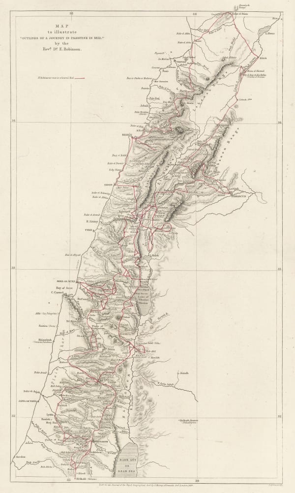
Royal Geographical Society (RGS), Map to Illustrate 'Outlines of a Journey in Palestine in 1852' by Rev. Robinson, 1854£ 245.00
-
Sir Archibald Alison, Siege of St. Jean d'Acre, 1855£ 65.00
-
Royal Geographical Society (RGS), Sketch map of Lebanon and Syria, 1856£ 225.00
-
Joseph Hutchins Colton, Palestine, 1861£ 245.00
-
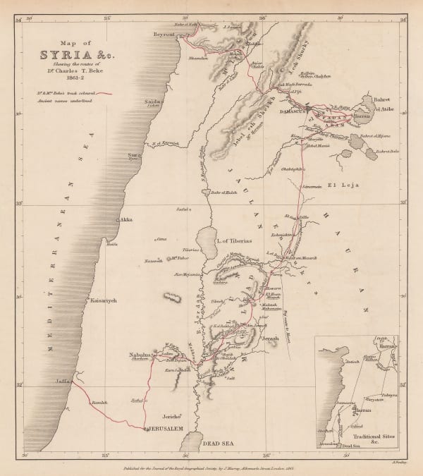
Royal Geographical Society (RGS), Map of Syria &c., 1863£ 150.00
-
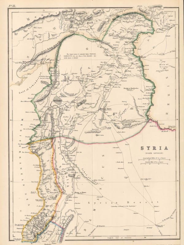
Blackie & Son, Syria, 1866£ 78.00
-
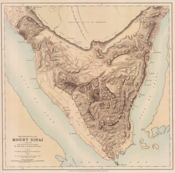
Royal Geographical Society (RGS), Sinai Peninsula, 1868£ 345.00
-
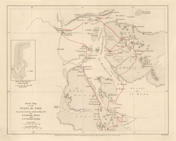
Royal Geographical Society (RGS), Route Map of the Tulul el Safa, 1872£ 185.00
-
Society for the Diffusion of Useful Knowledge (SDUK), Ancient Syria, 1879£ 325.00
-
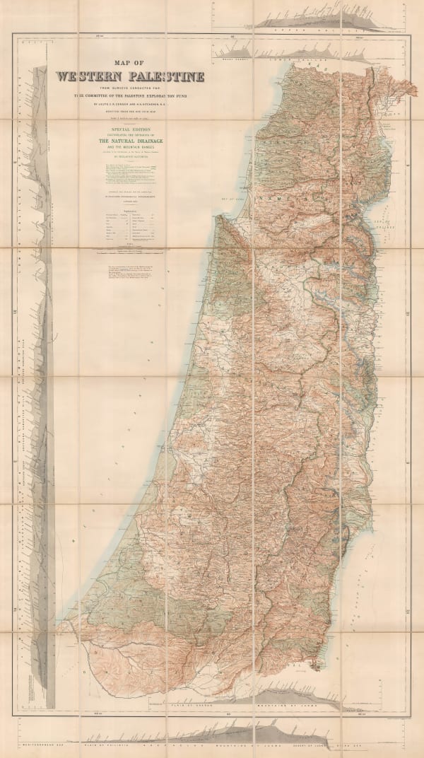
Edward Stanford, Monumental wall map of Israel and Palestine, 1882£ 2,500.00
-
George W. Bacon, Palestine, 1894£ 125.00
-
Edward Stanford, The Holy Land, 1896£ 145.00
-
Royal Geographical Society (RGS), Sketch map of the overland route from Baghdad to Damascus, 1909£ 295.00
-
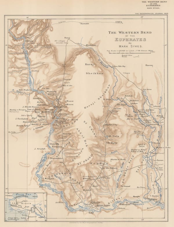
Royal Geographical Society (RGS), The Western Bend of the Euphrates, 1909£ 175.00
-
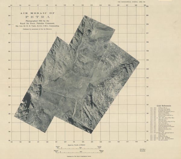
Royal Geographical Society (RGS), Aerial photomosaic of Petra, Jordan, 1924£ 225.00
-
Royal Geographical Society (RGS), Petra, 1930£ 225.00
-
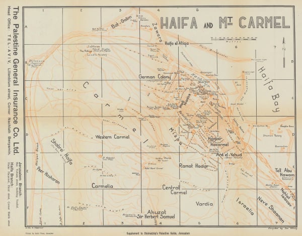
Zev Vilnay, Haifa and Mt. Carmel, 1935£ 95.00
-
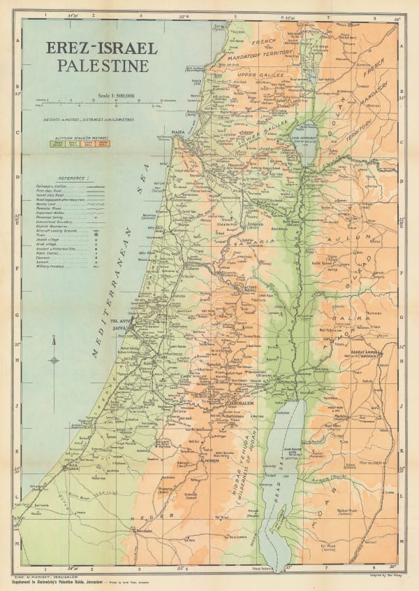
Zev Vilnay, Israel, 1935£ 295.00
-
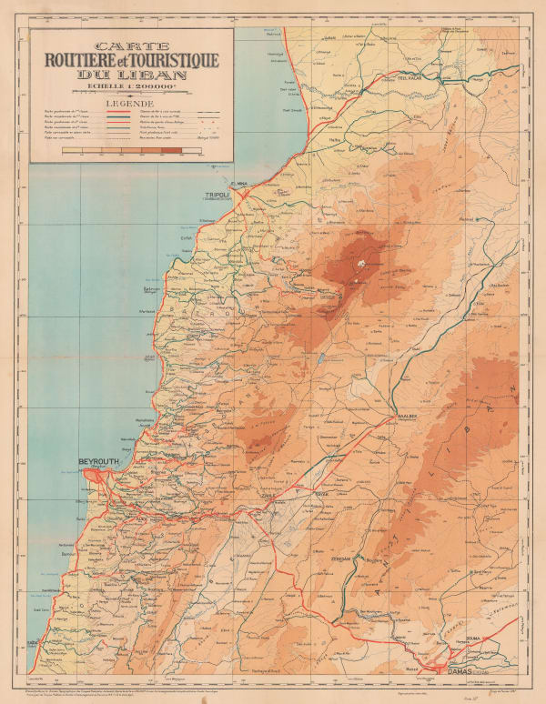
Bureau Topographique, Vintage road map of Lebanon, 1937£ 445.00
-
Survey of Palestine, Tel Aviv, 1944£ 745.00
-
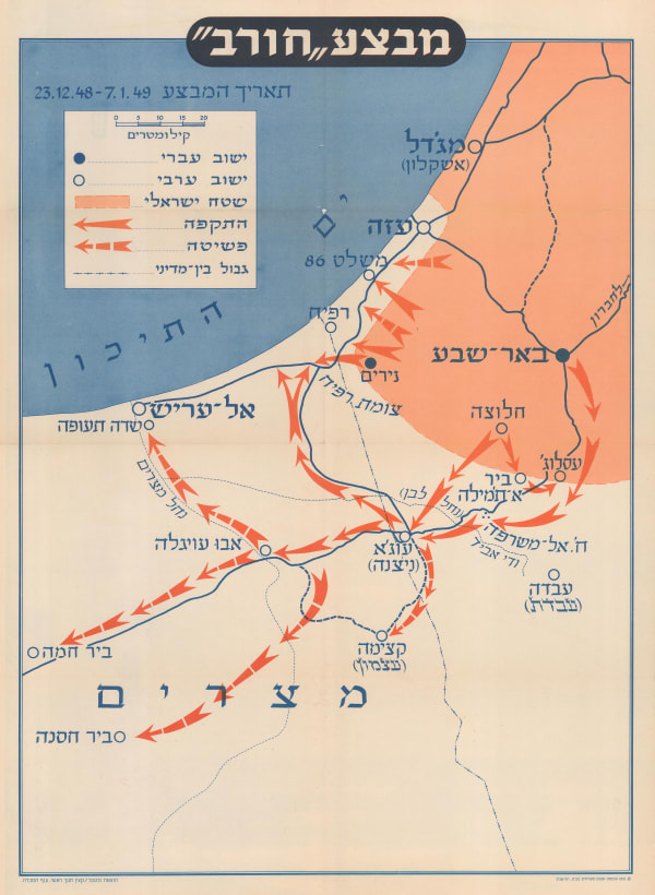
Israel Defense Forces (IDF), Operation Horev, 1950£ 450.00
-
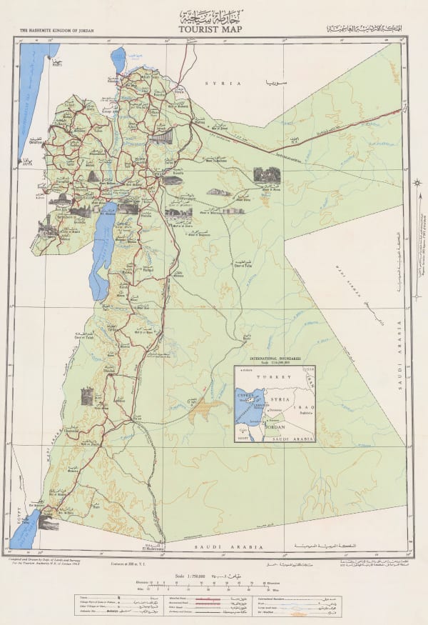
Tourism Authority H.K. of Jordan, The Hashemite Kingdom of Jordan Tourist Map | المملكة الاردنية الهاشمية, 1955£ 550.00
-
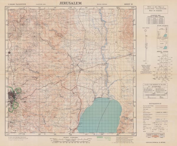
Survey of Palestine, Jerusalem, 1956£ 365.00
-
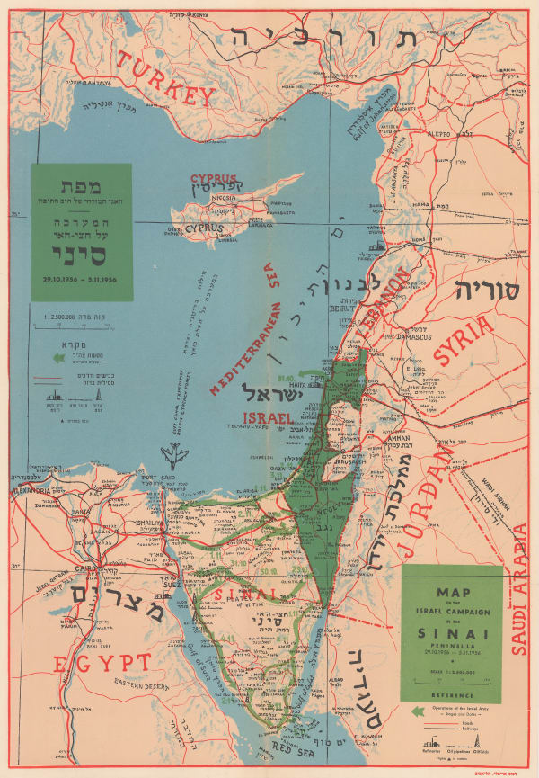
Dr. J Shapiro, Map of the Israel Campaign in the Sinai Peninsula, 1956£ 585.00
-
Ibrahim Hilmi al-Ghouri, Palestine, Transjordan, Lebanon, Syria and Egypt, 1959 c£ 950.00
-
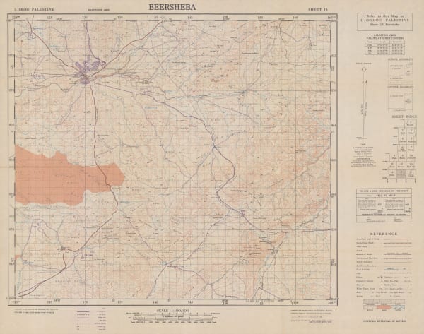
Survey of Palestine, Beersheba, 1960£ 295.00
-
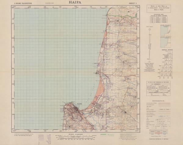
Survey of Palestine, Haifa, 1960£ 295.00
-
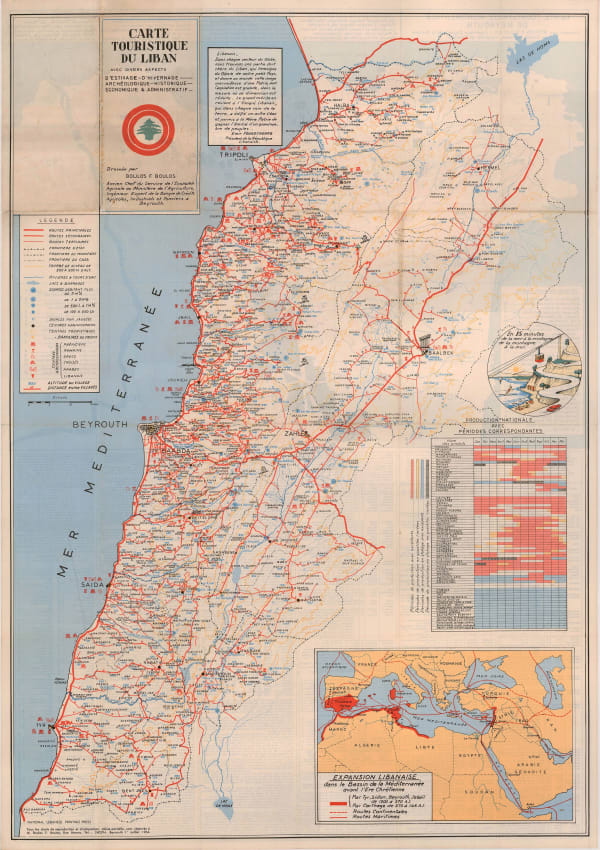
Boulos F. Boulos, Vintage map of Lebanon, 1964£ 2,500.00
-
Liban Conseil Nation, Beirut, Lebanon, 1972 c.£ 300.00
Close
Search Inventory
Our entire inventory of over 10,000 antique and vintage maps is now available to browse by region, date, cartographer, and subject


Join our mailing list
* denotes required fields
We will process the personal data you have supplied to communicate with you in accordance with our Privacy Policy. You can unsubscribe or change your preferences at any time by clicking the link in our emails.
![]()