-
 John Tallis, Southern India, 1851£ 385.00
 -
 John Tallis, Northern India, 1851£ 385.00
 -
 Royal Geographical Society (RGS), Part of the Himalaya Mountains, 1851£ 185.00
 -
 John Tallis, Cabool, The Punjab and Beloochistan, 1851£ 525.00
 -
 J. & C. Walker, Map of the Punjab, Western Himalaya, and adjoining parts of Tibet, 1854£ 2,450.00
 -
 Justus Perthes, Prince Waldemar of Prussia's route to Kathmandu, 1855£ 225.00
 -
 John Walker, Mumbai & Western Maharashtra, 1855£ 595.00
 -
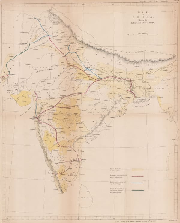
 Hansard, Railway and Cotton District Map of India, 1857£ 950.00
 -
 Survey of India, Map of Kashmir with Part of Adjacent Mountains, 1859£ 2,450.00
 -
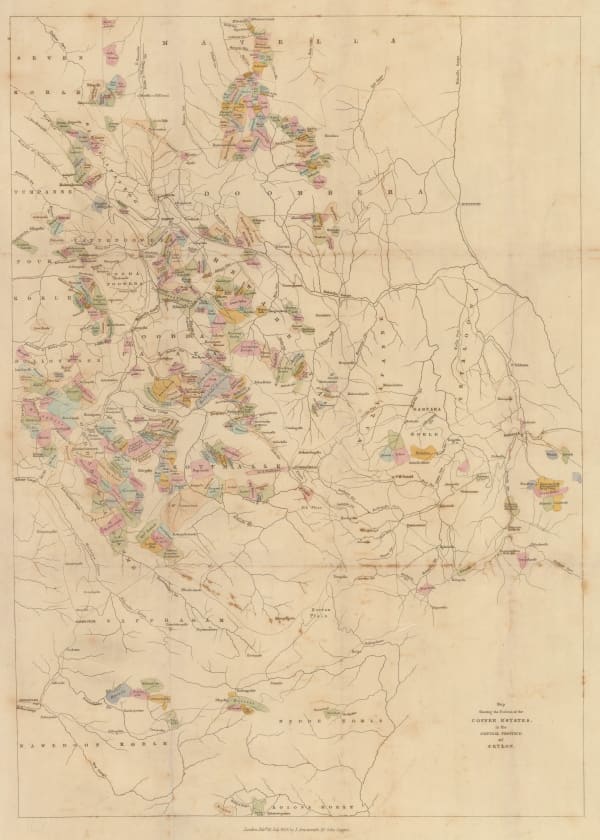
 John Arrowsmith, Map Showing the Positions of the Coffee Estates in the Central Province of Ceylon, 1859£ 495.00
 -
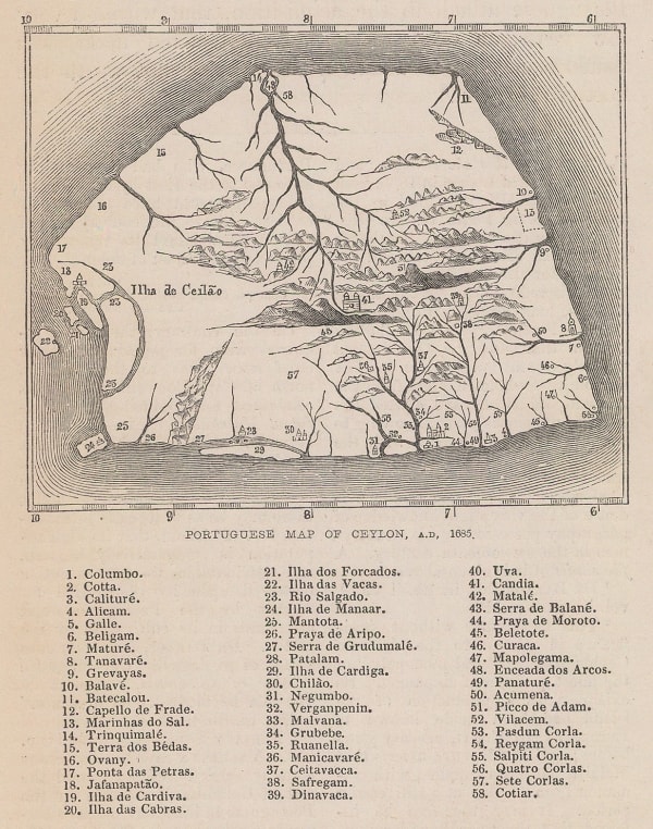
 J. Emerson Tennent, Portuguese Map of Ceylon, A.D. 1685, 1859£ 42.00
 -
 Auguste-Henri Dufour, Indes, 1860£ 375.00
 -
 Archibald Fullarton, British Possessions in the Indian Seas, 1860 c.£ 475.00
 -
 Justus Perthes, Sikkim and the Nepalese frontier, 1861£ 66.00
 -
 Royal Geographical Society (RGS), Map of the Valley of Kashmir, 1861£ 195.00
 -
 Royal Geographical Society (RGS), Map of the Coast from Kurrachee to Gwadur, 1863£ 335.00
 -
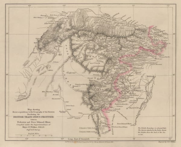
 Royal Geographical Society (RGS), Map Showing Recent Acquisitions to the Geography of the Districts Bordering the British Trans-Indus Frontier between Peshawur and DeraIshmael Khan, 1863£ 295.00
 -
 Edward Weller, The Residency, Palaces &c of Lucknow, 1863£ 225.00
 -
 Edward Weller, Northeast Indian states of Tripura, Meghalaya and Manipur and Sri Lanka, 1863£ 65.00
 -
 Justus Perthes, North-central India, 1864£ 55.00
 -
 Royal Geographical Society (RGS), Sketch Map of the Basin of the Mahanuddy, 1865£ 120.00
 -
 Royal Geographical Society (RGS), Map of the Coast of Travancore Coast and Black Waters, showing the anchorage at Alipee, 1866£ 98.00
 -
 Royal Geographical Society (RGS), The Wurkallay Barrier, 1866£ 98.00
 -
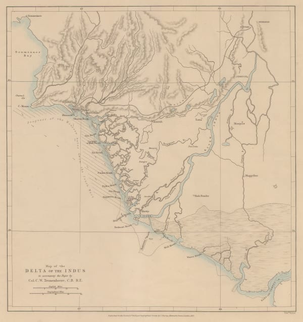
 Royal Geographical Society (RGS), Indus River Delta, 1867£ 195.00
 -
 Royal Geographical Society (RGS), Sketch map of North Eastern India with portions of Burmah & China, 1867£ 86.00
 -
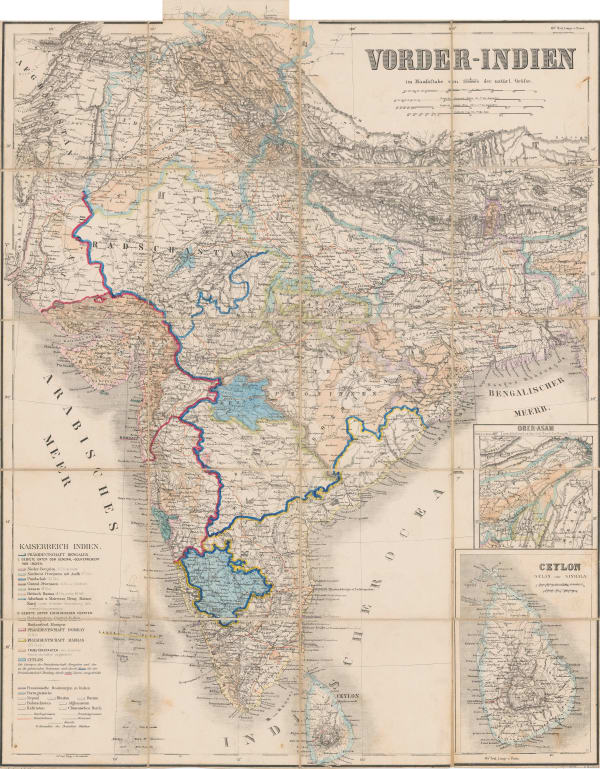
 Heinrich C. Kiepert, India, 1867£ 395.00
 -
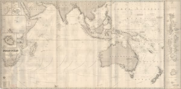
 James Imray, Indian Ocean, 1868£ 1,500.00
 -
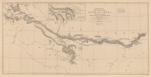
 Royal Geographical Society (RGS), Map Showing the Route Survey from Nepal to Lhasa and thence through the Upper Valley of the Brahmaputra, Made by Pundit ___, 1868£ 575.00
 -
 James Wyld, Wyld's Military Staff Map of Central Asia and Afghanistan, 1870 c.£ 1,950.00
 -
 Royal Geographical Society (RGS), A Map to Illustrate Captain Harcourts Paper on the Himalayan Valleys of Kooloo, Lahoul & Spiti, 1871£ 325.00
 -
 Justus Perthes, G.W. Hayward’s journey from Leh to Kashgar, 1871£ 98.00
 -
 Royal Geographical Society (RGS), Pakistan and north-west India, 1871£ 195.00
 -
 James Wyld, Road, Railway & Telegraphic Map of India, 1872 c.£ 1,550.00
 -
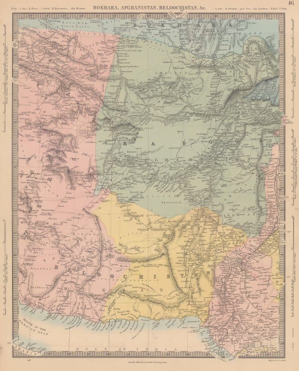
 Society for the Diffusion of Useful Knowledge (SDUK), Bokhara, Afghanistan, Beloochistan, &c., 1875£ 325.00
 -
 James Mackenzie Maclean, City plan of Mumbai (Bombay), 1875£ 595.00
 -
 Royal Geographical Society (RGS), Map Showing Routes of Native Explorers in Tibet and Nepal, 1875£ 745.00
 -
 Edward Weller, Map of Sikkim, 1876 c.£ 345.00
 -
 Royal Geographical Society (RGS), Map Illustrating the Journey of the Pundit Nain Singh through Great Tibet, 1877£ 395.00
 -
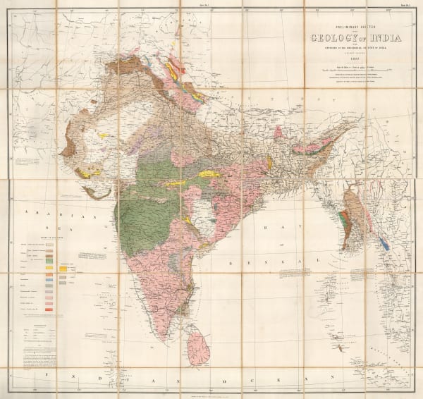
 Survey of India, Preliminary Sketch of the Geology of India, 1877£ 1,750.00
 -
 Justus Perthes, Pamir and Kashgar, 1877£ 425.00
 -
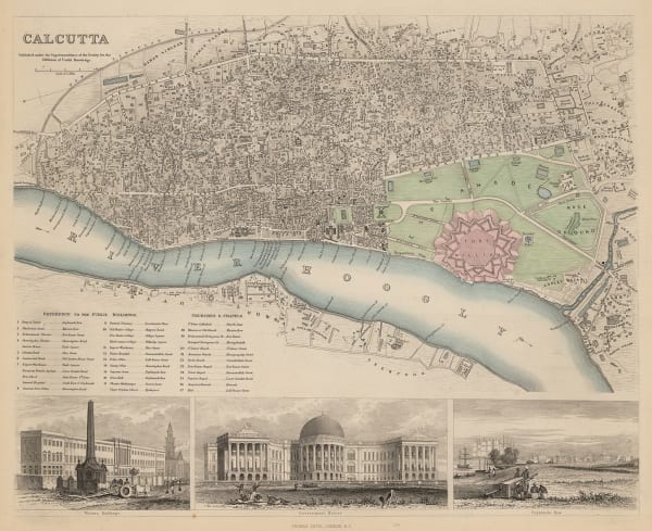
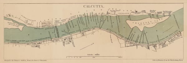
 Society for the Diffusion of Useful Knowledge (SDUK), Kolkata (Calcutta), 1879£ 345.00
 -
 Society for the Diffusion of Useful Knowledge (SDUK), Southeastern Pakistan, Gujarat and Rajastan, 1879£ 125.00
 -
 Society for the Diffusion of Useful Knowledge (SDUK), Maharashtra and Karnataka provinces, 1879£ 125.00
 -
 Nepal, Bihar & Uttar Pradesh, 1879Society for the Diffusion of Useful Knowledge (SDUK)Series: LondonSociety for the Diffusion of Useful Knowledge (SDUK), Nepal, Bihar & Uttar Pradesh, 1879£ 155.00
 -
 Royal Geographical Society (RGS), Sketch Map of a Portion of the March of the Tal-Chotiali Field-Force from Kandahar to India, 1879£ 295.00
 -
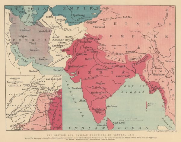
 The Graphic Magazine, The British and Russian Frontiers in Central Asia, 1879£ 95.00
 -
 Royal Geographical Society (RGS), The Sulimani Mountains on the Afghan Frontier of British India, 1879£ 625.00
 -
 Justus Perthes, Geology of India, 1879£ 325.00
 -
 A. Simon, French port atlas map of Kolkata (Calcutta, 1880£ 115.00
 -
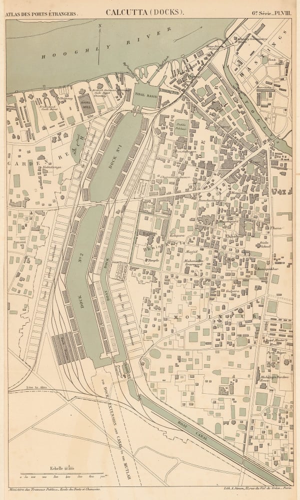
 A. Simon, Chart of the docklands in Kolkata (Calcutta), 1880£ 295.00
 -
 Royal Geographical Society (RGS), Map of The Country Between Sind and Candahar, 1880£ 295.00
 -
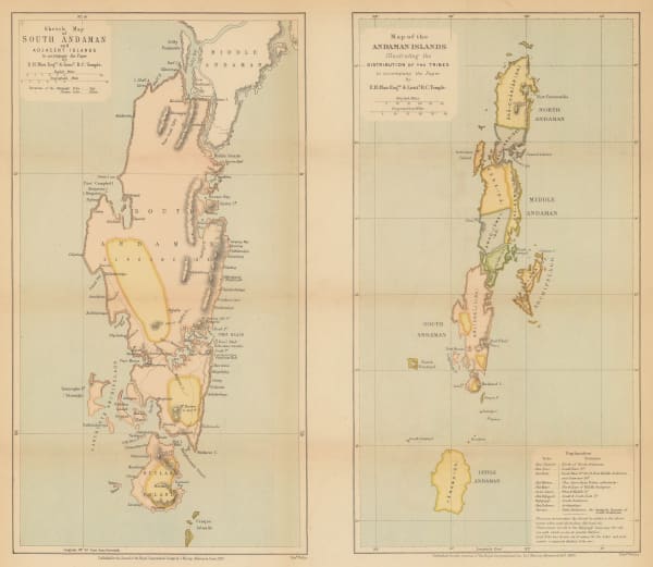
 Royal Geographical Society (RGS), The Andaman Islands, 1880£ 125.00
 -
 W. & A.K. Johnston, Himalaya, 1880 (c.)£ 72.00
 -
 Royal Geographical Society (RGS), Map of Sikkim and parts of the Adjacent Territories, 1881£ 125.00
 -
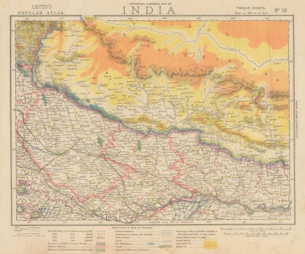
 Letts & Son, Eastern India and Nepal, 1882£ 85.00
 -
 Letts & Son, Southern India, 1882£ 85.00
 -
 Letts & Son, Southwestern India, 1882£ 85.00
 -
 Letts & Son, Bay of Bengal coast, 1882£ 85.00
 -
 Letts & Son, Central India - Chota Nagpur Division, 1882£ 85.00
 -
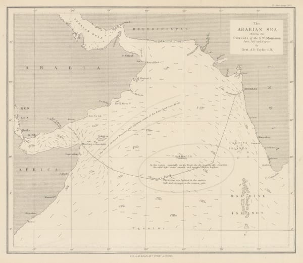
 Richard Holmes Laurie, The Arabian Sea, 1882£ 58.00
 -
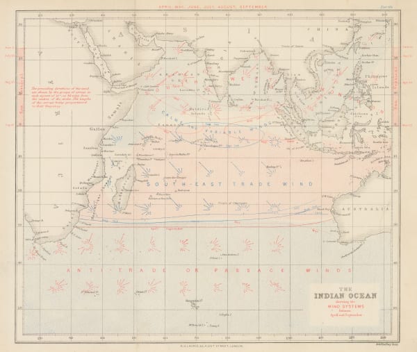
 James Imray, The Indian Ocean, 1882£ 52.00
 -
 James Imray, The Indian Ocean, 1882£ 52.00
 -
 James Imray, The Indian Ocean, 1882£ 52.00
 -
 James Imray, The Indian Ocean, 1882£ 52.00
 -
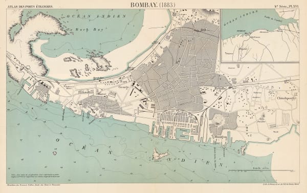
 A. Simon, City and port of Mumbai (Bombay), 1883£ 895.00
 -
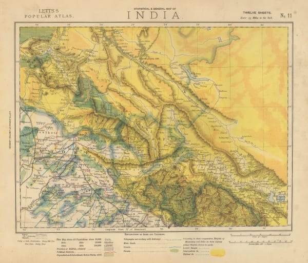
 Letts & Son, Northwest India - Lahore, Kashmir & Himachal Pradesh, 1883£ 78.00
 -
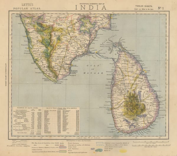
 Letts & Son, Southern India and Sri Lanka (Ceylon), 1883£ 295.00
 -
 Letts & Son, Afghanistan, Beluchistan and Punjab, 1883£ 145.00
 -
 A. Simon, Port of Kolkata (Calcutta), 1884£ 285.00
 -
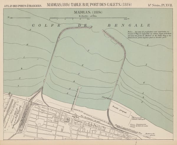
 A. Simon, Port of Chennai (Madras), 1884£ 98.00
 -
 Royal Geographical Society (RGS), Himalayas, 1884£ 485.00
 -
 G. & J. Bartholomew, Central Asia and Afghanistan, 1885£ 925.00
 -
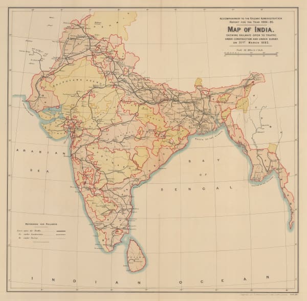
 Survey of India, Map of India shewing Railways open to traffic, under construction and under survey onm 31st March 1885, 1885£ 585.00
 -
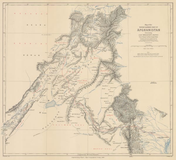
 Royal Geographical Society (RGS), Map of the South Eastern Part of Afghanistan illustrating Lieut. Broadfoot's Journey from Ghanzi to Dera Ismail Khan., 1885£ 295.00
 -
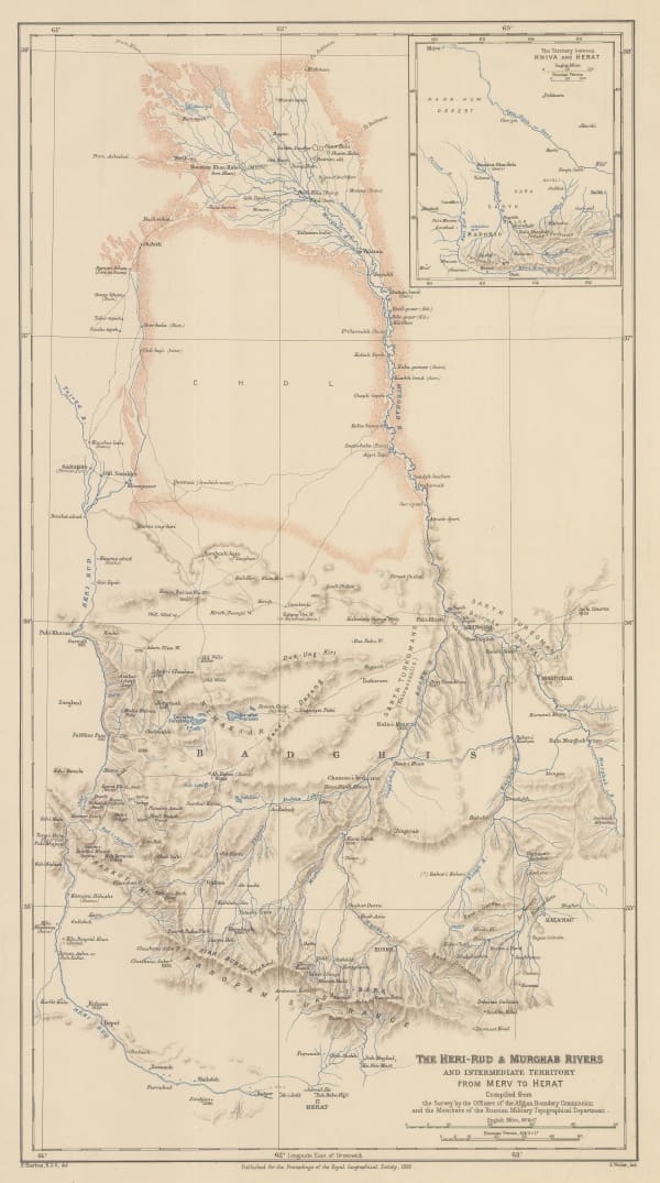
 Royal Geographical Society (RGS), The Heri-Rud & Murghab Rivers, 1885£ 210.00
 -
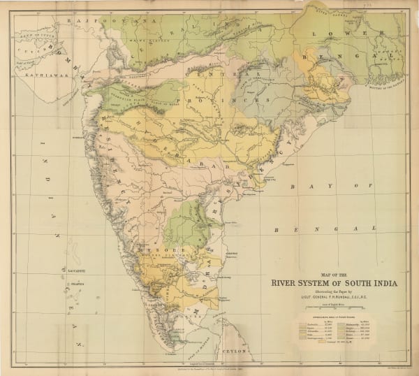
 Royal Geographical Society (RGS), Map of the River Systems of South India, 1886£ 445.00
 -
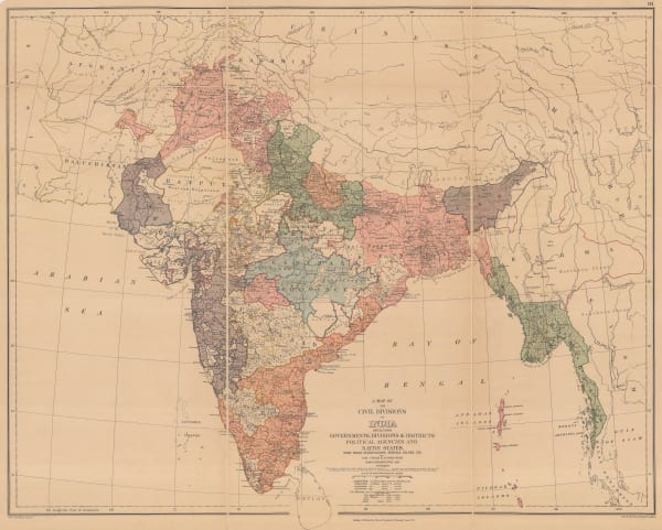
 Edward Stanford, A New Map of the Civil Divisions of India, 1889£ 1,250.00
 -
 Letts & Son, Delhi, Agra & Jaipur, 1889£ 85.00
 -
 Arbuckle Brothers Company, Afghanistan, 1889£ 125.00
 -
 Arbuckle Brothers Company, India, 1889£ 165.00
Page
3
of 5


