-
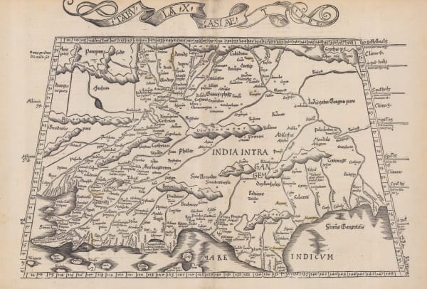
 Martin Waldseemüller & Laurent Fries, India, 1535£ 2,550.00
 -
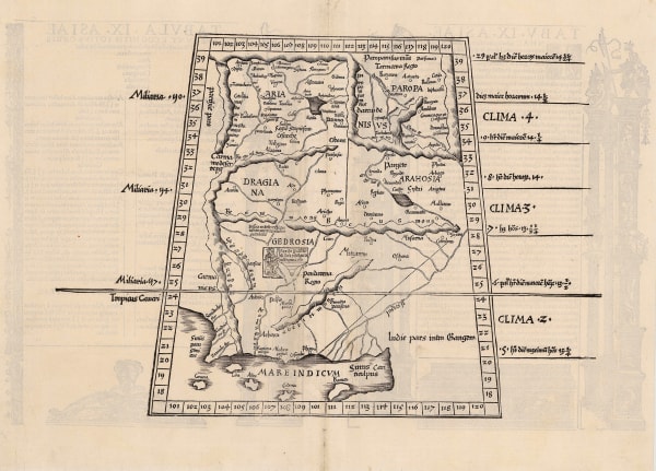
 Claudius Ptolemy, Rare woodcut map of Pakistan and Afghanistan, 1535£ 2,250.00
 -
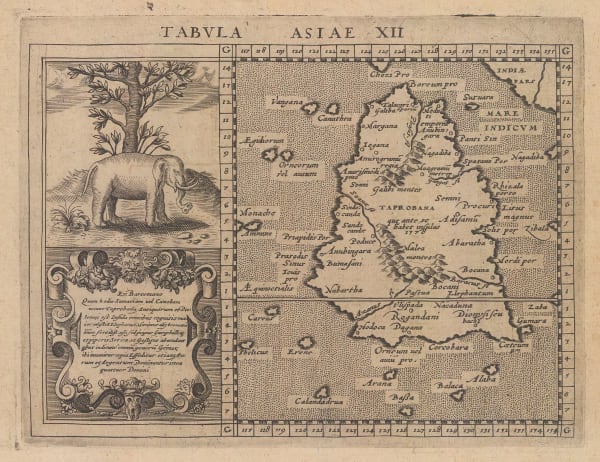
 Sebastian Münster, Early woodcut of Sri Lanka (Ceylon), 1542 c.£ 1,250.00
 -
 Andre Thevet, Early wood-cut panorama of Kozhikode (Calicut), 1575£ 985.00
 -
 Andre Thevet, Early wood-cut panorama of Diu, 1575£ 845.00
 -
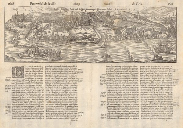
 Andre Thevet, Early wood-cut plan of Goa, 1575£ 1,250.00
 -
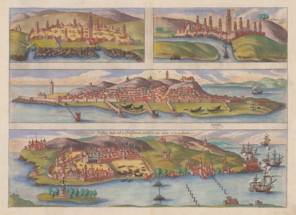
 Georg Braun & Frans Hogenberg, Casablanca, Azemmour, Diu & Goa, 1590 c.£ 1,750.00
 -
 Tomaso Porcacchi, Early map of Sri Lanka (Ceylon), 1604£ 275.00
 -
 Petrus Bertius, Early miniature map of the Malabar Coast, 1616£ 325.00
 -
 Giovanni Antonio Magini, Magini's map of Sri Lanka (Ceylon), 1617£ 425.00
 -
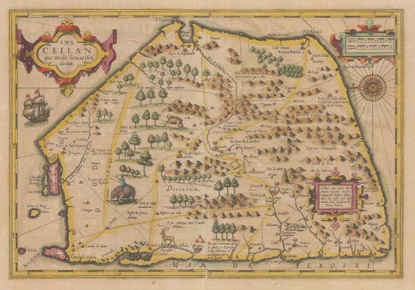
 Mercator Hondius, Sri Lanka (Ceylon) orientated with East at the top, 1620 c.£ 2,350.00
 -
 Samuel Purchas, Early miniature map of Sri Lanka (Ceylon), 1625£ 325.00
 -
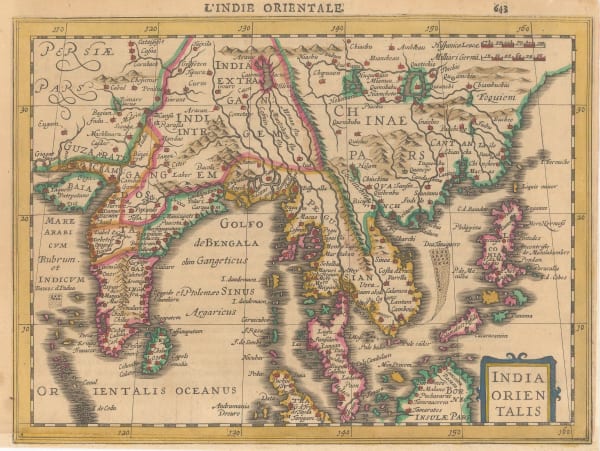
 Mercator Hondius, India and Southeast Asia, 1630£ 825.00
 -
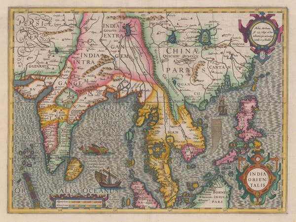
 Mercator Hondius, Important early map of India, Sri Lanka, Southeast Asia, and the Philippines, 1636 c.£ 2,950.00
 -
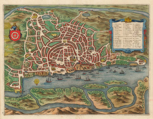
 Matthäus Merian, Bird's-eye view plan of Goa, 1649£ 545.00
 -
 Jan Jansson, Insula Zeilan, olim Taprobana, 1650 c.£ 1,750.00
 -
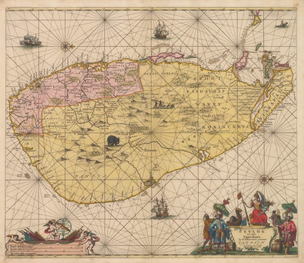
 Johannes van Keulen, Magnificent Dutch sea chart of Sri Lanka (Ceylon), 1683£ 4,450.00
 -
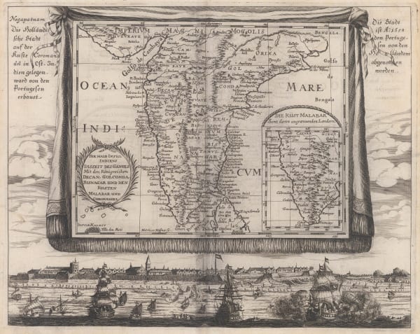
 Johann Christoph Wagner, Die Halb Insul Indiens, 1685£ 975.00
 -
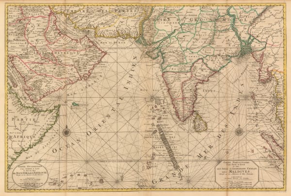
 Pierre Mortier, Chart of the Indian Ocean, 1690 c.£ 3,450.00
 -
 Pierre Duval, The Mughal Empire, or Northern India, 1694£ 275.00
 -
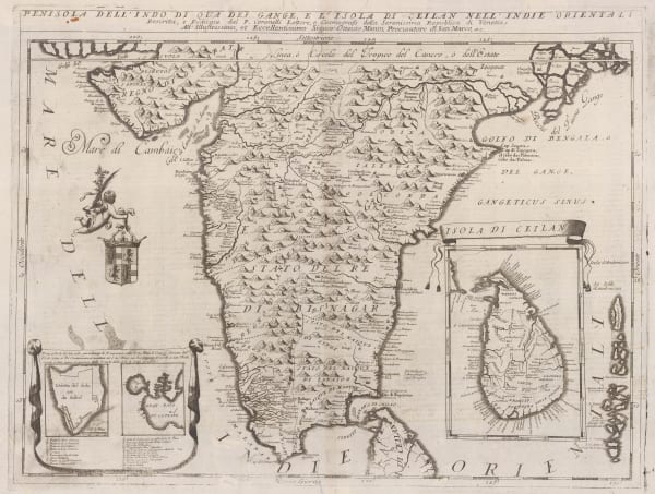
 Vincenzo Coronelli, Penisola Dell' Indo Di Qua Del Gange E L'Isola di Ceilan Nell' Indie Orientali, 1696£ 995.00
 -
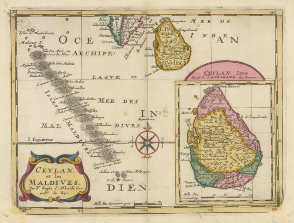
 Nicolas Sanson, Sri Lanka (Ceylon) and the Maldives, 1700£ 445.00
 -
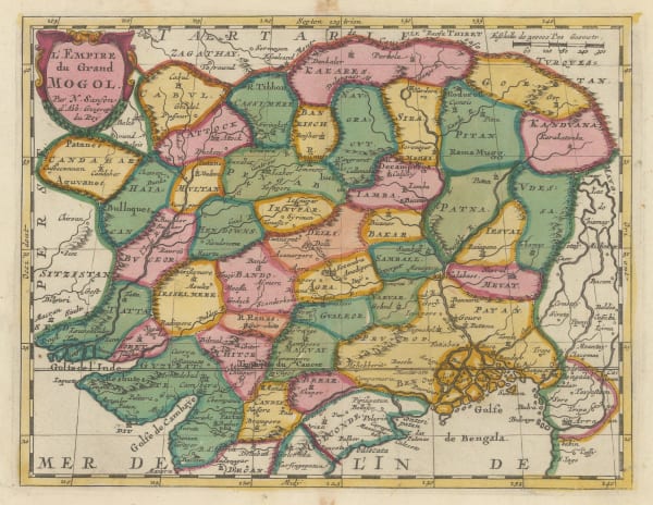
 Nicolas Sanson, L'Empire du Grand Mogol, 1700£ 640.00
 -
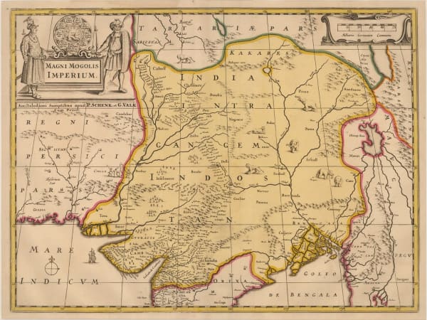
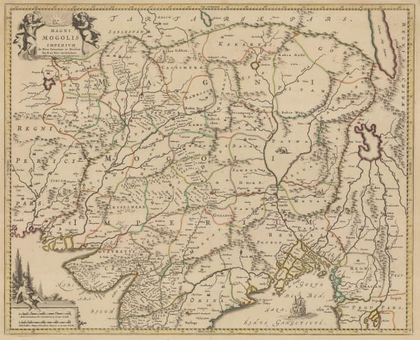
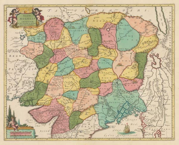
 Valk & Schenk, Magni Mogolis Imperium, 1700£ 1,400.00
 -

-
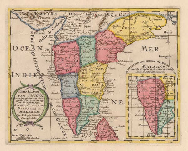
 Nicolas & Guillaume Sanson, T'Half Eilandt van Indien, 1705£ 325.00
 -
 Samuel Thornton, Chart of Mumbai (Bombay) to Diu Head, 1711£ 1,100.00
 -
 Samuel Thornton, A New Chart of the Coast of Orixa and Galconda, 1711£ 450.00
 -
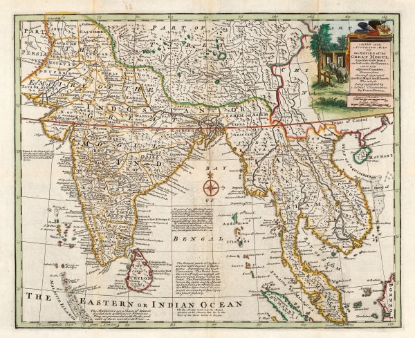
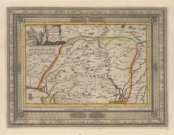
 Pieter van der Aa, 'T Ryk van den Grooten Mogol, 1714£ 325.00
 -
 Cornelis de Bruyn, Dutch trading routes between Bandar Abbas and Jakarta, 1714£ 445.00
 -
 Pieter van der Aa, Chart of the Ganges Delta, 1714£ 285.00
 -
 Pieter van der Aa, Gulf of Cambay, 1714£ 195.00
 -
 Herman Moll, The Indian Ocean, 1720 c.£ 975.00
 -
 Covens (Jean) & Mortier (Cornelius), Magni Mogolis Imperium, 1720 c.£ 885.00
 -
 Jean Baptiste Tavernier, Early bird's eye view of Kandahār, 1723£ 850.00
 -
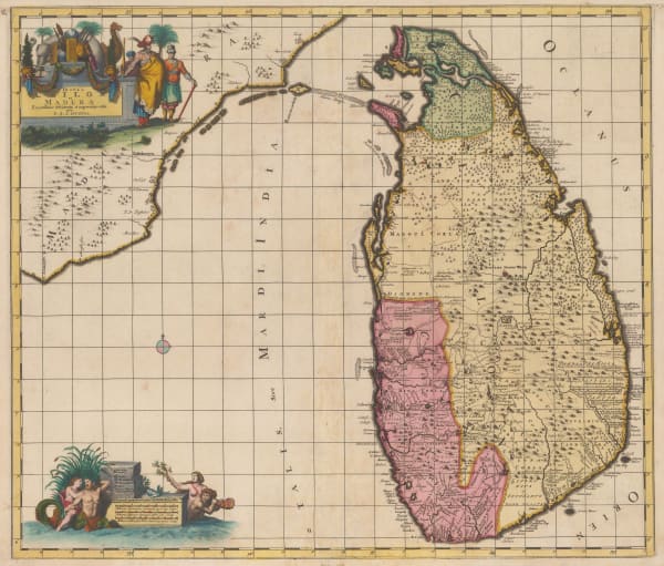
 Josua & Reinier Ottens, Sri Lanka (Ceylon) , 1725 c.£ 2,250.00
 -
 Covens (Jean) & Mortier (Cornelius), Magni Mogolis Imperivm, 1730 c.£ 985.00
 -
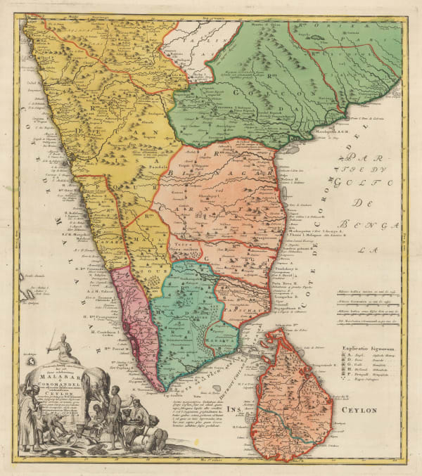
 Homann Heirs, Malabar & Coromandel, 1733£ 765.00
 -
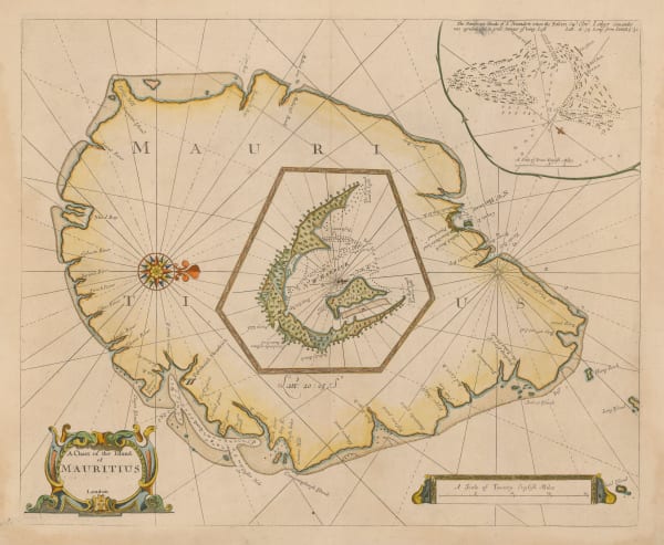
 Mount & Page, Mauritius, 1734 (c.)£ 3,850.00
 -
 Jacques-Nicolas Bellin, Arabian Sea, 1740£ 245.00
 -
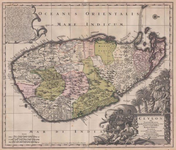
 Matthaus Seutter, Sri Lanka (Ceylon), 1740 c.£ 2,450.00
 -
 Awnsham & John Churchill, Colombo, Sri Lanka, 1740 c.£ 325.00
 -
 Herman Moll, Birds-eye view of Goa, 1740 c.£ 445.00
 -
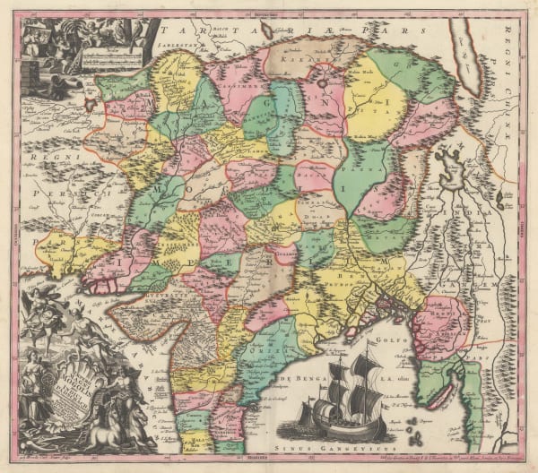
 Matthaus Seutter, Imperii Magni Mogolis sive Indici Padschah juxta recentissimas Navi gationaes accurata delineatio Geographica, 1740 c.£ 1,150.00
 -
 Awnsham & John Churchill, Mannar Island, Sri Lanka, 1740 c.£ 325.00
 -
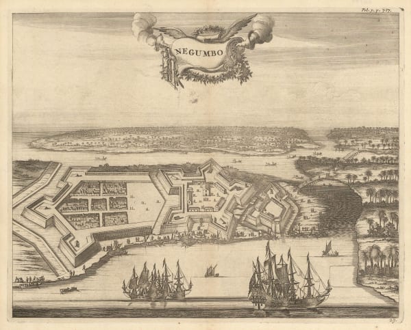
 Awnsham & John Churchill, Negombo, Sri Lanka, 1740 c.£ 285.00
 -
 Emanuel Bowen, The Deccan and Southern India, 1744£ 425.00
 -
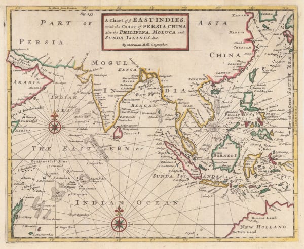
 Herman Moll, Chart of the East Indies, 1745£ 795.00
 -
 Jacob van der Schley, Western coast of the Indian Peninsula and the Maldives, 1747£ 185.00
 -
 Jacob van der Schley, Bird's eye view of Diu, 1747£ 265.00
 -
 Jacques-Nicolas Bellin, Early illustrated plan of Diu Island, 1749£ 125.00
 -
 Jacques-Nicolas Bellin, Sri Lanka (Ceylon), 1750£ 445.00
 -
![Johannes [II] van Keulen, Ganges Delta and the mouth of the Hooghly River, 1750 c.](data:image/gif;base64,R0lGODlhAQABAIAAAAAAAP///yH5BAEAAAAALAAAAAABAAEAAAIBRAA7) Johannes [II] van Keulen, Ganges Delta and the mouth of the Hooghly River, 1750 c.£ 2,950.00
Johannes [II] van Keulen, Ganges Delta and the mouth of the Hooghly River, 1750 c.£ 2,950.00 -
 Jacques-Nicolas Bellin, Southern India & Sri Lanka, 1750 c.£ 225.00
 -
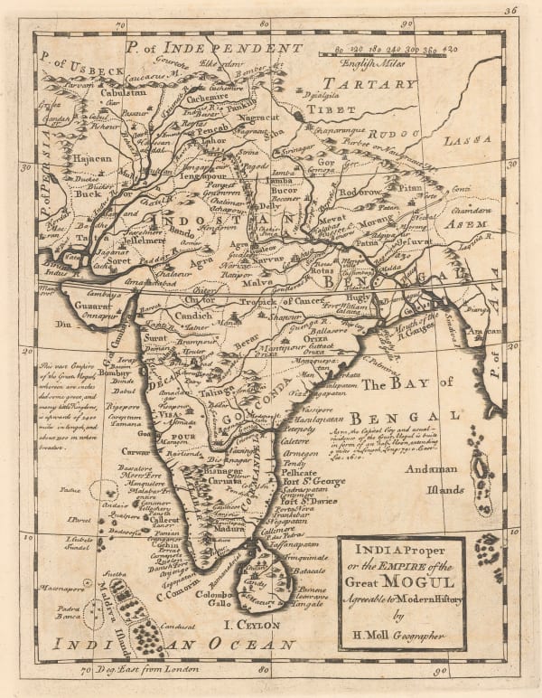
 Herman Moll, India proper or the Empire of the Great Mogul, 1750 c.£ 595.00
 -
 Jacques-Nicolas Bellin, Northwest India, 1752£ 365.00
 -
![Johannes [II] van Keulen, Chart of Mumbai (Bombay) Harbour, 1753](data:image/gif;base64,R0lGODlhAQABAIAAAAAAAP///yH5BAEAAAAALAAAAAABAAEAAAIBRAA7)
-
 London Magazine, The Coast of Andhra Pradesh, 1757£ 125.00
 -
 Jacques-Nicolas Bellin, Chart of the Bay of Trincomalee (Gokanna or Gokarna), 1757£ 185.00
 -
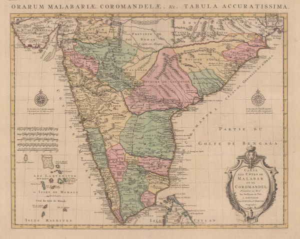
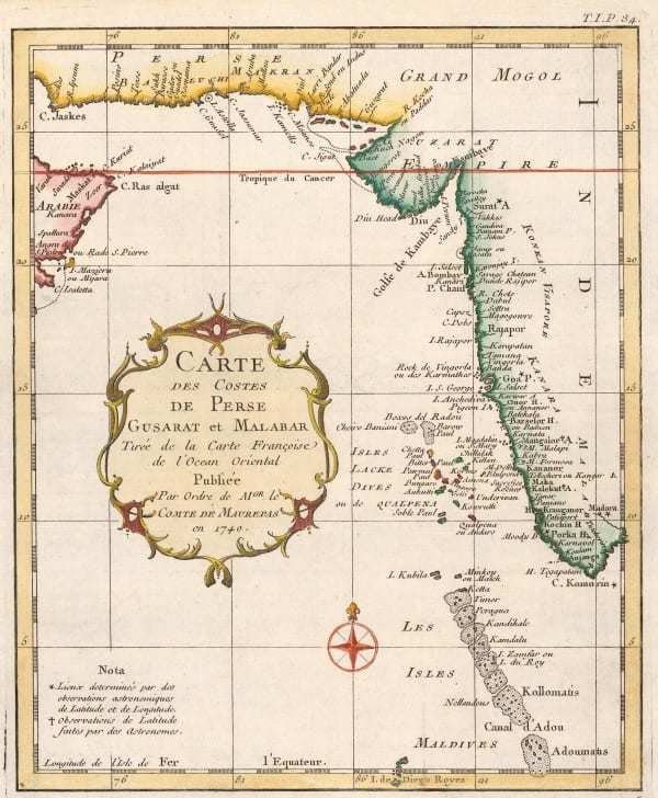
 Covens (Jean) & Mortier (Cornelius), Carte des Côtes de Malabar et de Coromandel, 1757£ 795.00
 -
 Jacques-Nicolas Bellin, Southeastern India during the Seven Years War, 1757£ 125.00
 -
 London Magazine, A Map of the Countries Round Surat and Bombay in the East Indies, 1759£ 145.00
 -
 Tobias Conrad Lotter, Sri Lanka (Ceylon) divided into regions, 1760 c.£ 1,650.00
 -
 João de Barros, Gulf of Khambhat (Cambay) and part of Gujarat, 1760 c.£ 295.00
 -
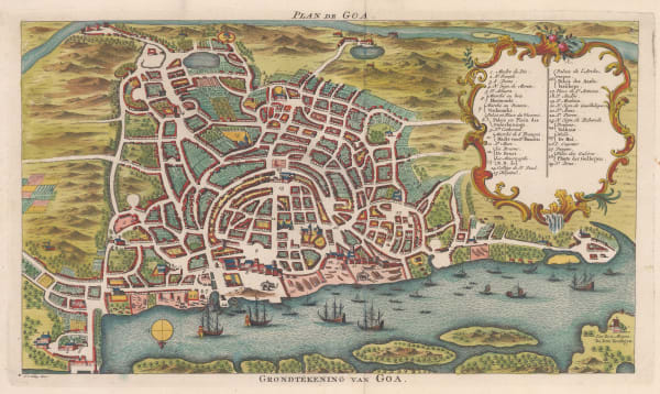
 Jacob van der Schley, Bird's eye view of Goa, 1760 c.£ 295.00
 -
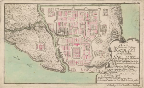
 Gabriel Nikolaus Raspe, Scarce map of Chennai (Madras), 1760 c.£ 445.00
 -
 London Magazine, Unusual English map of Isle Reunion, 1761£ 325.00
 -
 Jacques-Nicolas Bellin, Baye Ville et Forts D'Andarajapour, 1764£ 95.00
 -
 Jacques-Nicolas Bellin, Chart of the coast of Concan and Decan, 1764£ 115.00
 -
 Jacques-Nicolas Bellin, Chart of the Gulf of Khambhat (Cambay), 1764£ 115.00
 -
 Jacques-Nicolas Bellin, Jaffna, Sri Lanka, 1764£ 145.00
 -
 Jacques-Nicolas Bellin, Mahé (Mayé), Malabar coast, 1764£ 75.00
 -
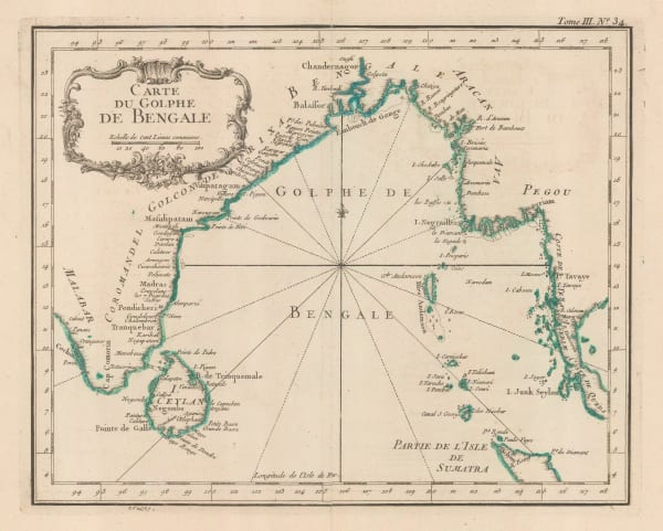
 Jacques-Nicolas Bellin, Gulf of Bengal, 1764£ 245.00
 -
 Jacques-Nicolas Bellin, Coasts of Malabar and Kanara, 1764£ 345.00
 -
 Thomas Kitchin, A Map of the Coast of Coromandel, 1765 c.£ 425.00
 -
 Emanuel Bowen, India, Ceylon and part of South East Asia, 1766£ 975.00
 -
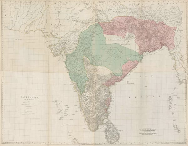
 Thomas Jefferys, The East Indies with the Roads, 1768£ 2,950.00
 -
 John Blair, The East Indies, 1773£ 485.00
 -
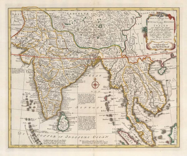
 Willem Albert Bachiene, Ryk des Grooten Mogols en dier Indien, 1774£ 985.00
 -
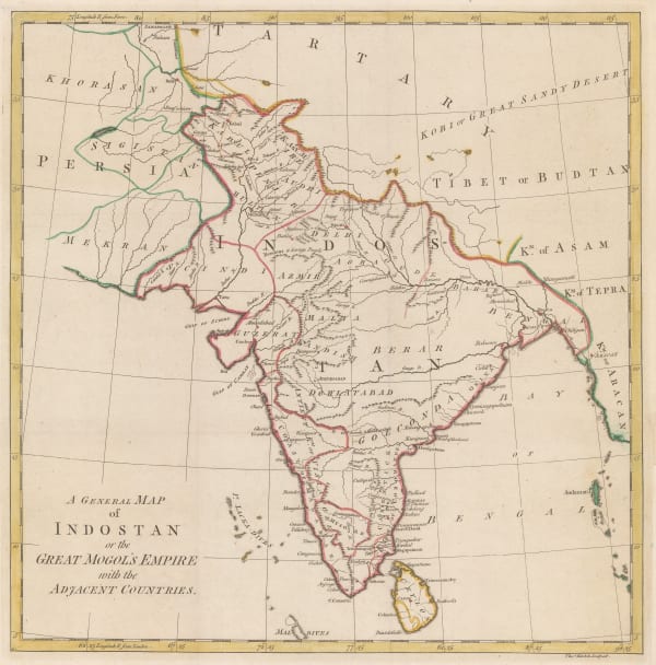
 Robert Orme, A General Map of Indostan or the Great Mogol's Empire with the Adjacent Countries, 1775£ 385.00
Page
1
of 6





















![Johannes [II] van Keulen, Ganges Delta and the mouth of the Hooghly River, 1750 c.](https://artlogic-res.cloudinary.com/w_600,c_limit,f_auto,fl_lossy,q_auto/artlogicstorage/themaphouse/images/view/dbba96bd7be787a573abc2324908a1d9j/themaphouse-johannes-ii-van-keulen-ganges-delta-and-the-mouth-of-the-hooghly-river-1750-c..jpg)


![Johannes [II] van Keulen, Chart of Mumbai (Bombay) Harbour, 1753](https://artlogic-res.cloudinary.com/w_600,c_limit,f_auto,fl_lossy,q_auto/artlogicstorage/themaphouse/images/view/97387ddcb04c30665724687ff69cbff7j/themaphouse-johannes-ii-van-keulen-chart-of-mumbai-bombay-harbour-1753.jpg)


