-
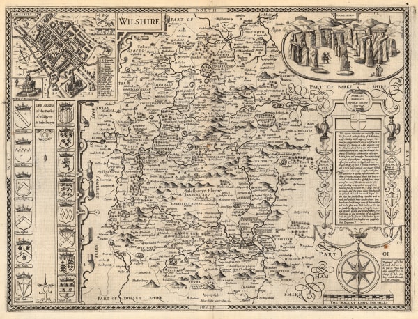
 John Speed, Wilshire, 1616£ 1,750.00
 -
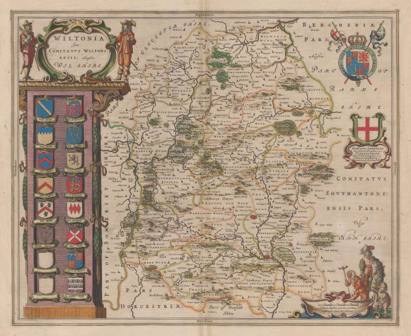
 Willem & Jan Blaeu, Wiltonia sive Comitatus Wiltoniensis; Anglis Wilshire, 1640 c.£ 850.00
 -
 Robert Morden, Wiltshire, 1695£ 335.00
 -
 John Ogilby, The Continuation of the Road from London to the Lands End, 1698£ 195.00
 -
 Robert Morden, Wiltshire, 1708£ 195.00
 -
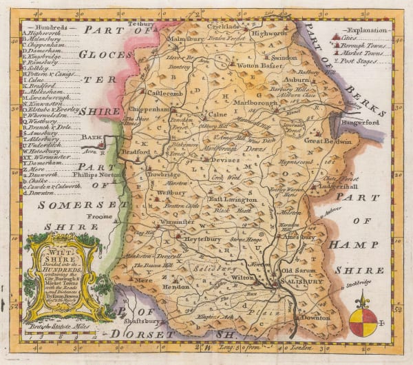
 Emanuel Bowen, Wiltshire, 1750 c.£ 88.00
 -
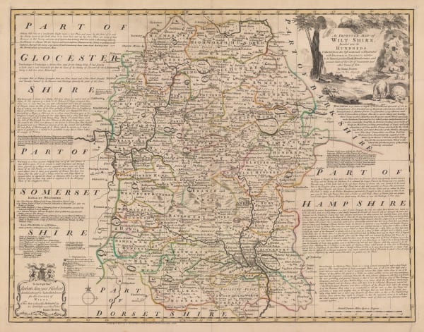
 Emanuel Bowen, An Improved Map of Wiltshire Divided into its Hundreds, 1760 c£ 1,150.00
 -
 John Seller, Wiltshire, 1787£ 62.00
 -
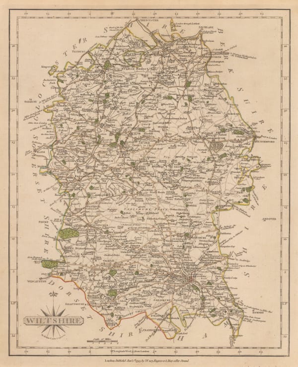
 John Cary, Wiltshire, 1809£ 82.00
 -
 Christopher & John Greenwood, Map of the County of Wilts, from Actual Survey in the Years 1819 & 1820, 1820£ 3,750.00
 -
 John Wilkes, Wiltshire, 1828£ 88.00
 -
 Christopher & John Greenwood, Map of the County of Wiltshire, 1829£ 745.00
 -
 Samuel Lewis, Wiltshire, 1840 c.£ 62.00
 -
 James Pigot, Wiltshire, 1840 c.£ 115.00
 -
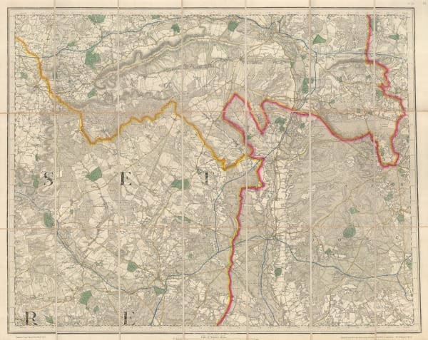
 Ordnance Survey, Wimborne, Blandford, Shaftesbury, Lynhurst, Salisbury & Ringwood, 1872£ 295.00
 -
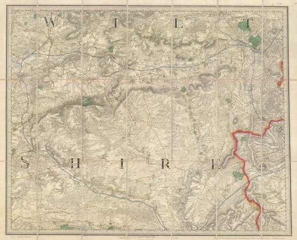
 Ordnance Survey, Warminster, Devizes, Marlborough & Amesbury, 1872£ 195.00
 -
 George Philip & Son Ltd., The County of Wiltshire, 1895£ 20.00
 -
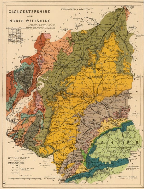
 Edward Stanford, Gloucestershire and North Wiltshire, 1928£ 48.00
Close
Search Inventory
Our entire inventory of over 10,000 antique and vintage maps is now available to browse by region, date, cartographer, and subject
Join our mailing list
* denotes required fields
We will process the personal data you have supplied to communicate with you in accordance with our Privacy Policy. You can unsubscribe or change your preferences at any time by clicking the link in our emails.

