-
 William Heather, Georgian chart of the Sunda Straits, 1803£ 1,950.00
 -
 William Heather, A New Chart Shewing the Navigation through the Sunda Straights to Batavia, 1803£ 2,950.00
 -
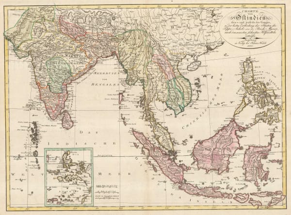
 Johann Walch, German map of India and Southeast Asia, 1805£ 1,150.00
 -
 Aaron Arrowsmith, Chart of the East India Islands, 1808£ 375.00
 -
 John Pinkerton, East India Isles, 1813£ 985.00
 -
 John Thomson, Southeast Asia, 1815 c.£ 495.00
 -
 John Cary, Southeast Asia, 1825£ 645.00
 -
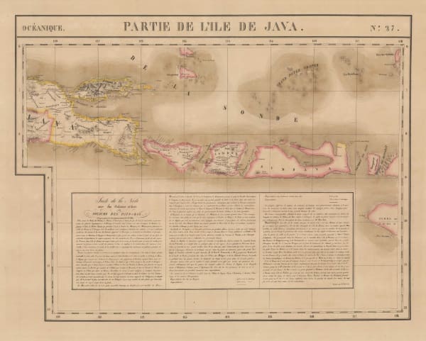
 Philippe Vandermaelen, Java, Bali and Lombok, 1827£ 645.00
 -
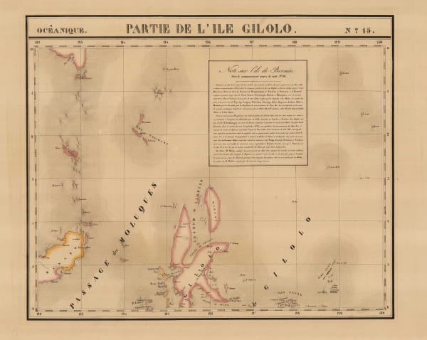
 Philippe Vandermaelen, Sulawesi, North Maluku, 1827£ 195.00
 -
 Philippe Vandermaelen, Central and South East Sulawesi, and the Gulf of Tomini, 1827£ 375.00
 -
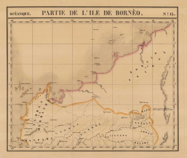
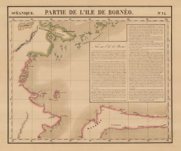
 Philippe Vandermaelen, North-western Borneo, 1827£ 325.00
 -
 Philippe Vandermaelen, North-eastern Borneo, 1827£ 325.00
 -
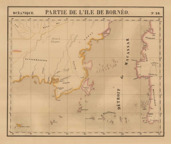
 Philippe Vandermaelen, South-eastern Borneo, 1827£ 395.00
 -
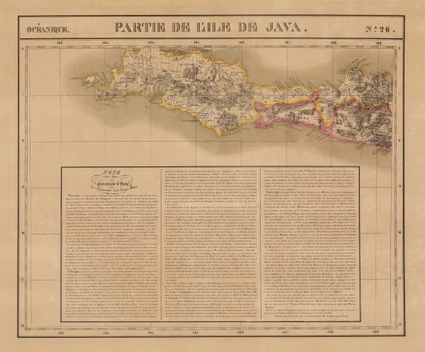
 Philippe Vandermaelen, Western Java, 1827£ 285.00
 -
 Philippe Vandermaelen, North Sumatra and Aceh, 1827£ 285.00
 -
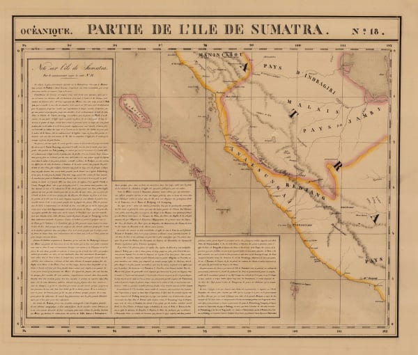
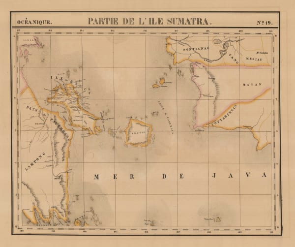
 Philippe Vandermaelen, West Sumatra and Riau, 1827£ 185.00
 -
 Philippe Vandermaelen, South-eastern Sumatra and south-western Borneo, 1827£ 395.00
 -
 John Walker, Thailand, Malaysia, Singapore, Vietnam, Laos and Cambodia., 1828£ 1,150.00
 -
 John Crawfurd, Early map of Bangkok, 1828£ 445.00
 -
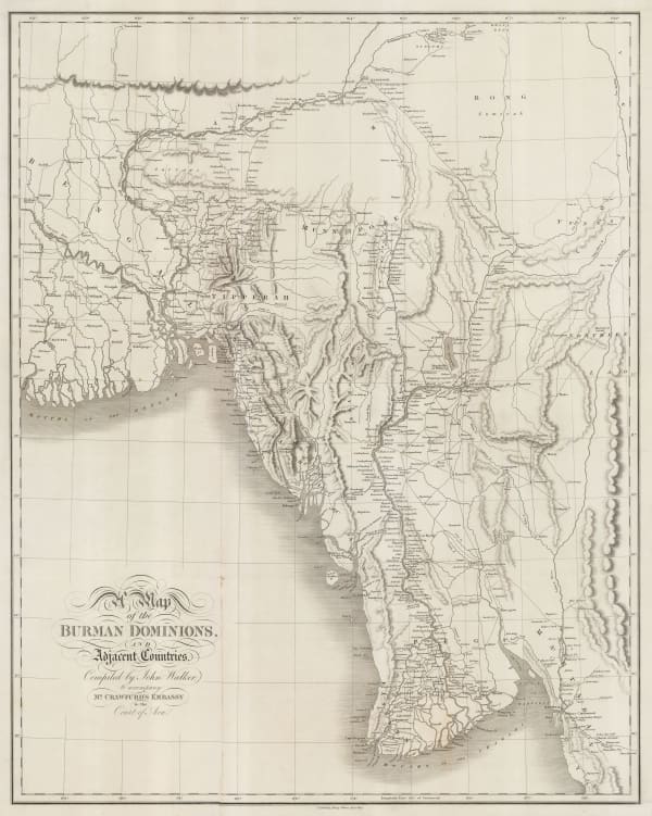
 John Crawfurd, Myanmar, John Crawfurd's journey to the Court of the King of Burma, 1829£ 785.00
 -
 Sophia Raffles, Sketch Map of the Island of Singapore, 1830£ 2,950.00
 -
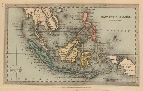
 Thomas Starling, Miniature map of Southeast Asia, 1830 c.£ 95.00
 -
 John Arrowsmith, Burma (Myanmar), Vietnam, Cambodia, Laos, and northern Thailand, 1832£ 1,450.00
 -
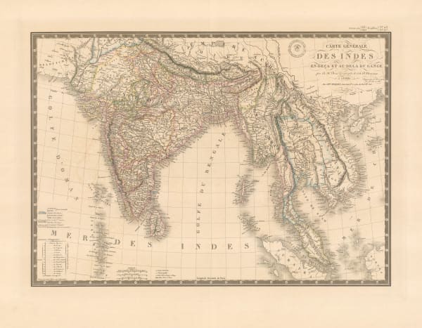
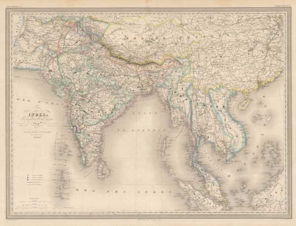
 Adrien Brue, Indian and Southeast Asia showing European colonial possessions, 1836£ 245.00
 -
 Rest Fenner, Miniature map of Southeast Asia, 1836£ 85.00
 -
 W. & A.K. Johnston, First cartographic document to use the name "Malaysia", 1840£ 745.00
 -

-
 Joseph Meyer, South East Asia, 1844£ 325.00
 -
 John Arrowsmith, Folding map of Myanmar (Burma), 1853£ 675.00
 -
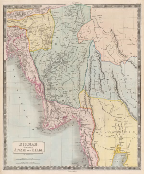
 Sidney Hall, Myanmar (Burma), northeast India and western Thailand, 1855 c.£ 395.00
 -
 Archibald Fullarton, Java - according to Van De Velde, 1856£ 76.00
 -
 Royal Geographical Society (RGS), Thailand (Siam) and the Chao Phraya (Menam) River, 1856£ 245.00
 -
 Royal Geographical Society (RGS), Myanmar (Burma), 1857£ 495.00
 -
 Adrian J. Bogaerts, Wall Map of the Dutch East Indies (Indonesia), 1857£ 2,850.00
 -
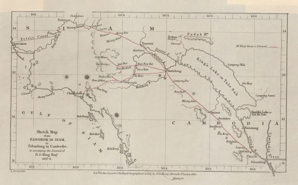
 Royal Geographical Society (RGS), Bangkok to Phnom Penh, 1859£ 85.00
 -
 Auguste-Henri Dufour, Southeast Asia showing French and Portuguese Colonies, 1860£ 375.00
 -
 John Dower, East India Isles, 1860 c.£ 195.00
 -
 John Rapkin, China and Myanmar, 1860 c.£ 175.00
 -
 Archibald Fullarton, British Possessions in the Indian Seas, 1860 c.£ 475.00
 -
 Archibald Fullarton, The East Indies, 1860 c.£ 445.00
 -
 Justus Perthes, Northern Borneo, 1861£ 68.00
 -
 Royal Geographical Society (RGS), Thailand, Cambodia and Laos, 1862£ 695.00
 -
 Archibald Fullarton, Java & Borneo, 1862£ 325.00
 -
 James Imray, East Indian Archipelago. (Eastern passages to China. Chart No. 5), 1863£ 885.00
 -
 James Imray, East Indian Archipelago. (Eastern Passages to China. Chart No.1), 1863£ 895.00
 -
 James Imray, East Indian Archipelago. (Eastern Passages to China. Chart No.2), 1863£ 975.00
 -
 James Imray, East Indian Archipelago. (Western Route to China. Chart No.1), 1863£ 1,250.00
 -
 James Imray, Coasts of Thailand, Cambodia and Vietnam, 1863£ 1,875.00
 -
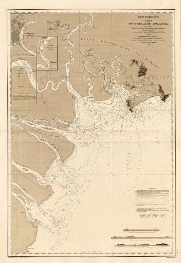
 L. Manen, Mekong Delta and Ho Chi Minh City (Saigon), 1865£ 450.00
 -
 L. Manen, Ho Chi Minh City (Saigon) and Saigon river delta, 1867£ 450.00
 -
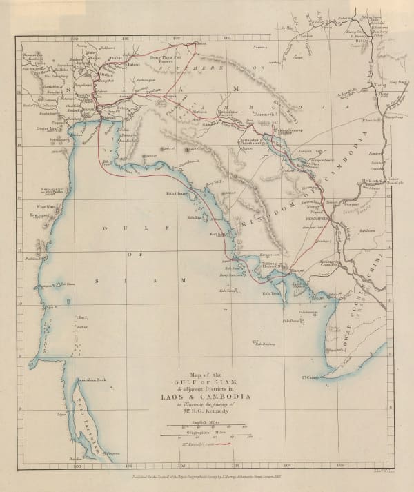
 Royal Geographical Society (RGS), Map of the Gulf of Siam, 1867£ 260.00
 -
 Aimé Robiquet, French chart of Indonesia and Malaysia, 1868£ 575.00
 -
 Joseph Meyer, Southeast Asia showing colonial possessions, 1868£ 245.00
 -
 Blackie & Son, Sumatra, Borneo, and the Philippines, 1870 c.£ 225.00
 -
 Justus Perthes, North Maluku, Salawati and Waigeu, Indonesia, 1873£ 125.00
 -
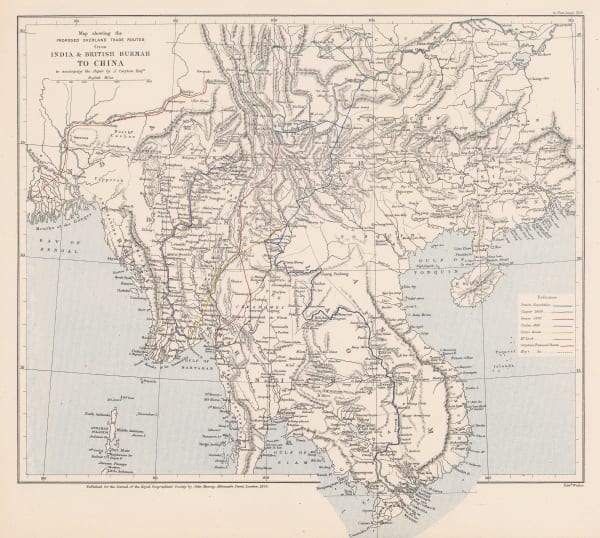
 Royal Geographical Society (RGS), Map Showing the Proposed Trade Routes from India & British Burmah to China, 1875£ 395.00
 -
 John Arrowsmith, Folding map of South East Asia, 1876£ 1,450.00
 -
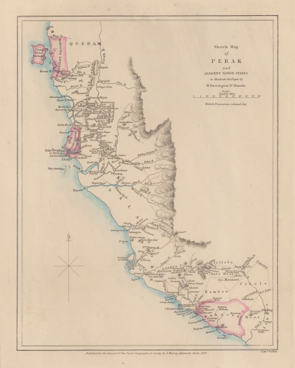
 Royal Geographical Society (RGS), Sketch Map of Perak, 1876£ 325.00
 -
 Society for the Diffusion of Useful Knowledge (SDUK), Southeast Asia, 1879£ 385.00
 -
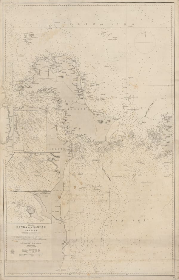
 British Admiralty, Banka and Gaspar Straits, 1881£ 595.00
 -
 British Admiralty, Riau Islands, Indonesia, 1881£ 595.00
 -
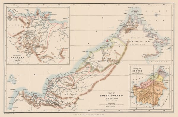
 Royal Geographical Society (RGS), Map of North Borneo, 1881£ 425.00
 -
 Royal Geographical Society (RGS), Map of the Northern Part of Perak (Malay Peninsula), 1882£ 365.00
 -
 British Admiralty, Strait of Malacca. From Diamond Pt. to the North Sands, 1882£ 795.00
 -
 Royal Geographical Society (RGS), Map of Southern China, 1882£ 165.00
 -
 Royal Geographical Society (RGS), Map of the Malay Peninsula, 1882£ 825.00
 -
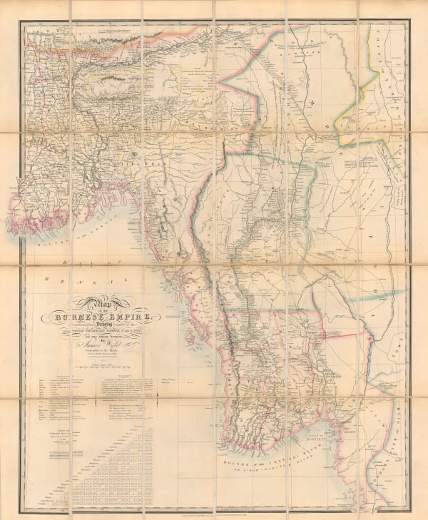
 James Wyld, Myanmar (Burma) after the Third Anglo-Burmese war, 1886£ 1,250.00
 -
 Myanmar (Burma) with parts of India and Thailand, 1886Royal Geographical Society (RGS)Series: LondonRoyal Geographical Society (RGS), Myanmar (Burma) with parts of India and Thailand, 1886£ 545.00
 -
 Royal Geographical Society (RGS), Northern Thailand, Shan States, 1886£ 595.00
 -
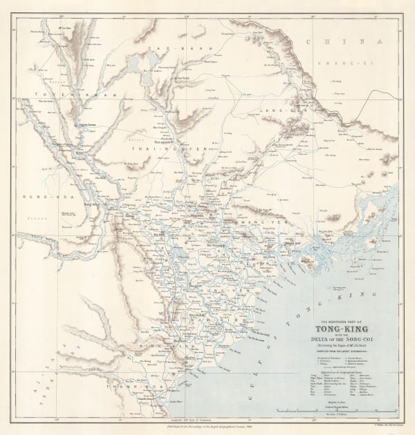
 Royal Geographical Society (RGS), The Northern Part of Tong-King with the Delta of the Song-Coi, 1886£ 395.00
 -
 John Bartholomew, Southeast Asia, 1887£ 64.00
 -
 A. Simon, Jakarta (Batavia) Port, 1888£ 325.00
 -
 Royal Geographical Society (RGS), Map of the Kingdom of Siam and its Dependencies, 1888£ 825.00
 -
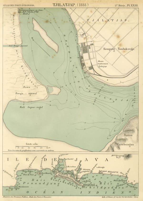
 A. Simon, Cilacap (Tjilatjap) harbour and environs, 1888£ 195.00
 -
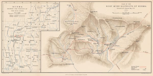
 Royal Geographical Society (RGS), Plan of the Ruby Mine Districts of Myanmar (Burma), 1888£ 695.00
 -
 Royal Geographical Society (RGS), Map of British North Borneo, 1888£ 695.00
 -
 Richard Holmes Laurie, Sandakan Bay, 1889£ 52.00
 -
 Arbuckle Brothers Company, Thailand (Siam), 1889£ 155.00
 -
 Richard Holmes Laurie, Chart of the trade winds and monsoons, South East Asia, 1889£ 115.00
 -
 Edward Stanford, The Rivers of India, 1889£ 595.00
Page
3
of 5


