-
 Michael Drayton, Kent, 1613£ 445.00
 -
 John Speed, Kent, 1614£ 1,950.00
 -
 John Norden & William Kip, Cantivm, 1637£ 685.00
 -
 Willem & Jan Blaeu, Cantium Vernacule Kent, 1650 c.£ 785.00
 -
 Richard Blome, A Mapp of Kent, 1673£ 445.00
 -
 Robert Morden, Kent, 1708£ 225.00
 -
 Emanuel Bowen, An Accurate Map of the County of Kent, 1760 c.£ 1,550.00
 -
 John Speed, Kent, 1760 c.£ 1,650.00
 -
![Gerard van Keulen, [Thanet and the mouth of the River Blakeney], 1760 c.](data:image/gif;base64,R0lGODlhAQABAIAAAAAAAP///yH5BAEAAAAALAAAAAABAAEAAAIBRAA7) Gerard van Keulen, [Thanet and the mouth of the River Blakeney], 1760 c.£ 265.00
Gerard van Keulen, [Thanet and the mouth of the River Blakeney], 1760 c.£ 265.00 -
 Edward Hasted, An Accurate Map of the County of Kent, 1783£ 850.00
 -
 John Cary, Kent, 1793£ 115.00
 -
 Ordnance Survey, Kent, 1819£ 495.00
 -
 Christopher & John Greenwood, Map of the County of Kent, 1821£ 3,850.00
 -
 William Darton, Kent divided into its Hundreds, 1825 c£ 175.00
 -
 J. & C. Walker, Kent, 1835£ 72.00
 -
 Josiah Henshall, Tunbridge Wells, 1838£ 650.00
 -
 John Colbran, Tunbridge Wells, 1839£ 250.00
 -
 Samuel Lewis, Kent, 1840 c.£ 68.00
 -
 Charles J. Muggeridge, Map of the Hop District of Kent and Sussex, 1844£ 1,200.00
 -
 John Colbran, Tunbridge Wells, 1850 c.£ 450.00
 -
 Aimé Thomé de Gamond, An Early Channel Tunnel Plan, 1858£ 950.00
 -
 Ordnance Survey, Geological Survey of England and Wales, 1888£ 175.00
 -
 Ordnance Survey, Geological Survey of England and Wales, 1889£ 375.00
 -
 George W. Bacon, Margate, Broadstairs & Ramsgate, 1890 c£ 395.00
 -
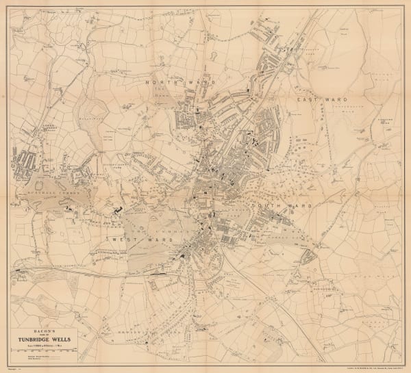
 George W. Bacon, Tunbridge Wells, 1895 (c.)£ 225.00
 -
 Wm. C. Gentry, North-East Kent, 1915 (c.)£ 295.00
 -
 Ordnance Survey, Canterbury, 1920£ 195.00
 -
 George W. Bacon, Tunbridge Wells, 1920 c.£ 195.00
 -
 Ordnance Survey, South London, Kent & East Sussex, 1920 c.£ 450.00
 -
 War Office, Dover, 1943£ 48.00
 -
 War Office, Hythe, 1943£ 36.00
 -
 War Office, Sheerness, 1943£ 34.00
 -
 War Office, Tilbury and Gravesend, 1943£ 38.00
 -
 Ernest Clegg, Kent, Battle of Britain 1940-1941, 1945£ 95.00
 -
 Geographia Ltd., Margate, 1956£ 175.00
 -
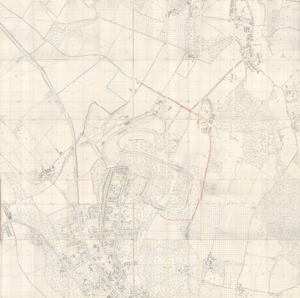
 Ordnance Survey, Brands Hatch Circuit Ltd 25" Plan, 1964£ 850.00
Close
Search Inventory
Our entire inventory of over 10,000 antique and vintage maps is now available to browse by region, date, cartographer, and subject
Join our mailing list
* denotes required fields
We will process the personal data you have supplied to communicate with you in accordance with our Privacy Policy. You can unsubscribe or change your preferences at any time by clicking the link in our emails.


![Gerard van Keulen, [Thanet and the mouth of the River Blakeney], 1760 c.](https://artlogic-res.cloudinary.com/w_600,c_limit,f_auto,fl_lossy,q_auto/artlogicstorage/themaphouse/images/view/6145c3fc2fdd4f8e5a32ae74169abbfdj/themaphouse-gerard-van-keulen-thanet-and-the-mouth-of-the-river-blakeney-1760-c..jpg)


