-
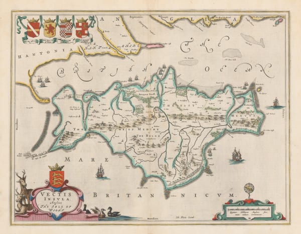
 Willem & Jan Blaeu, Isle of Wight, 1648£ 1,250.00
 -
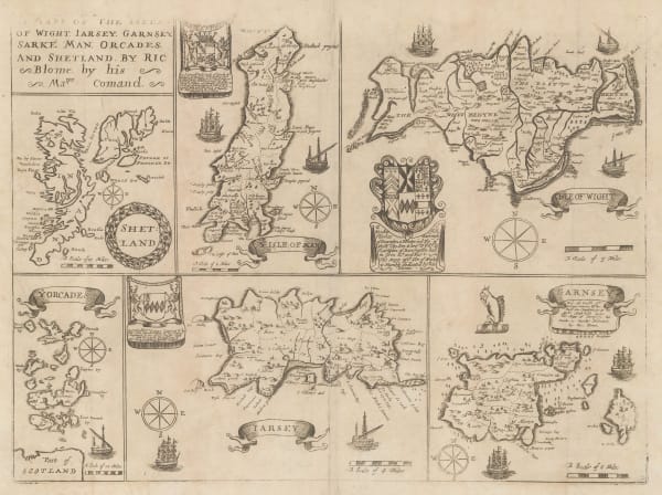
 Richard Blome, Isles of Wight, Channel Islands, Isle of Man, Orkneys and Shetland, 1673£ 265.00
 -
 Nicolas de Fer, L'Isle de Wight, 1705£ 485.00
 -
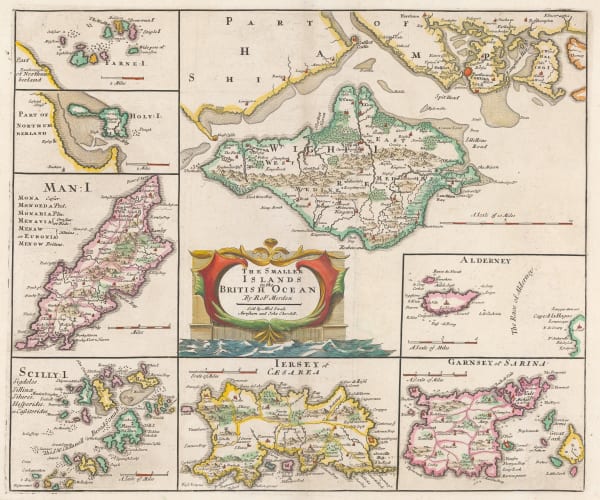
 Robert Morden, The Smaller Islands in the British Ocean, 1753£ 345.00
 -

-
 Emanuel Bowen & Thomas Kitchin, A New Improved Map of Hampshire, 1760 c.£ 1,750.00
 -
 Capt. Greenvile Collins, Isle of Wight, 1785£ 1,250.00
 -
 John Albin, The Isle of Wight, 1807£ 1,150.00
 -
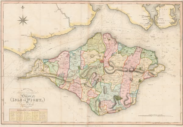
 James Clarke, Isle of Wight, 1812£ 950.00
 -
 Thomas Moule, Hampshire, 1840 c.£ 185.00
 -
 Thomas Moule, Isle of Wight, 1840 c.£ 135.00
 -
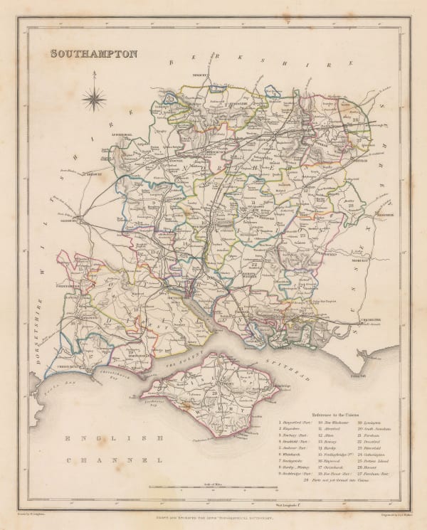
 Samuel Lewis, Hampshire, 1848£ 58.00
 -
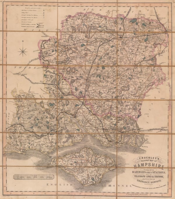
 George Frederick Cruchley, Railway map of Hampshire, 1855£ 225.00
 -
 British Admiralty, Cowes Harbour, 1882£ 1,150.00
 -
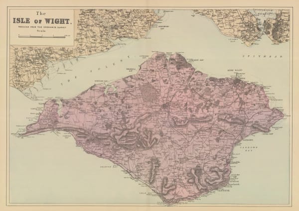
 George W. Bacon, The Isle of Wight, 1890 c.£ 75.00
 -
 Ordnance Survey, Isle of Wight, 1893£ 325.00
 -
 Waterlow & Sons, The Isle of Wight, 1902£ 150.00
 -
 Edward Stanford, Hampshire, 1928£ 52.00
 -
 Ordnance Survey, Isle of Wight, 1928£ 150.00
 -
 Ernest Clegg, Hampshire, 1947£ 150.00
 -
 Ordnance Survey, Isle of Wight, 1952£ 95.00
Isle of Wight
Our entire inventory of over 10,000 antique and vintage maps is now available to browse by region, date, cartographer, and subject

