-
 John Speed, Hartford Shire Described, 1611£ 1,350.00
 -
 Pieter van den Keere, Hartfordia Comitatus, 1627£ 115.00
 -
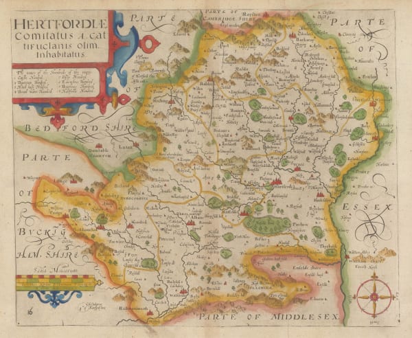
 John Norden & William Kip, Hertfordiae, 1637£ 495.00
 -
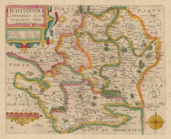
 John Norden & William Kip, Hertfordiae Comitatus, 1637£ 675.00
 -
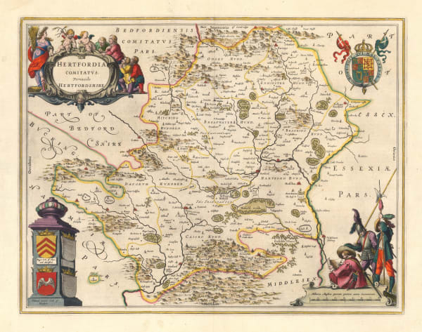
 Willem & Jan Blaeu, Hertfordia Comitatvs Vernacule Hertfordshire, 1650 c.£ 725.00
 -
 Jan Jansson, Middelsexiae cum Hertfordiae Comitatu: Midlesex & Hertford Shire, 1650 c.£ 465.00
 -
 Richard Blome, A Mapp of Hertfordshire, 1673£ 275.00
 -
 John Oliver, St. Albans, 1700£ 795.00
 -
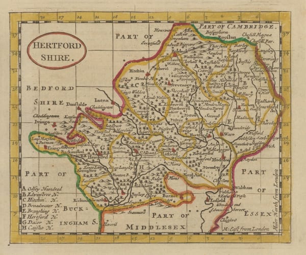
 Robert Morden, Hertfordshire, 1708£ 145.00
 -
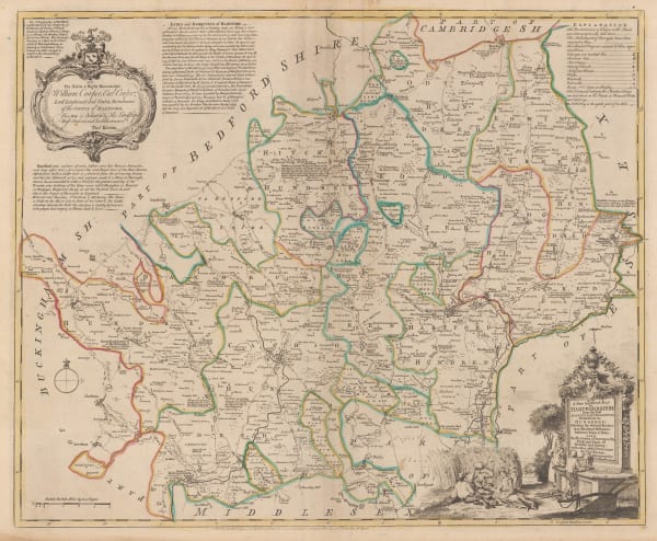
 Thomas Kitchin, A New Improved Map of Hartfordshire from the Best Surveys & Intelligence Divided into its Hundreds, 1760 c.£ 595.00
 -
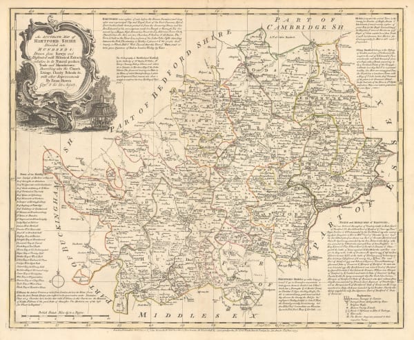
 Emanuel Bowen, An Accurate Map of Hartford Shire, 1777£ 545.00
 -
 John Seller, Hertfordshire, 1787£ 55.00
 -
 George Bickham, Hertfordshire, 1796£ 185.00
 -
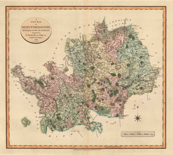
 John Cary, A New Map of Hertfordshire, 1801£ 275.00
 -
 John Cary, Map of Hertfordshire from the Best Authorities, 1805£ 245.00
 -
 John Wilkes, Hertfordshire, 1806£ 78.00
 -
 John Cary, Hertfordshire, 1817£ 62.00
 -
 Christopher & John Greenwood, Map of the County of Hertford, 1834£ 495.00
 -
 Henry Teesdale, Hertfordshire, 1835 c.£ 125.00
 -
 Isaac Slater, Hertfordshire, 1840£ 135.00
 -
 Samuel Lewis, Hertfordshire, 1840 c.£ 62.00
 -
 Henry George Collins, Hertfordshire, 1850 c.£ 82.00
 -
 Ordnance Survey, Geological Survey of England and Wales, 1891£ 120.00
 -
 Ordnance Survey, Watford and High Wycombe, 1912 c.£ 115.00
Close
Search Inventory
Our entire inventory of over 10,000 antique and vintage maps is now available to browse by region, date, cartographer, and subject
Join our mailing list
* denotes required fields
We will process the personal data you have supplied to communicate with you in accordance with our Privacy Policy. You can unsubscribe or change your preferences at any time by clicking the link in our emails.


